Basford

Settlement in Shropshire

England

Basford

A gate on the Shropshire Way
A gate on the Shropshire Way Credit: Row17

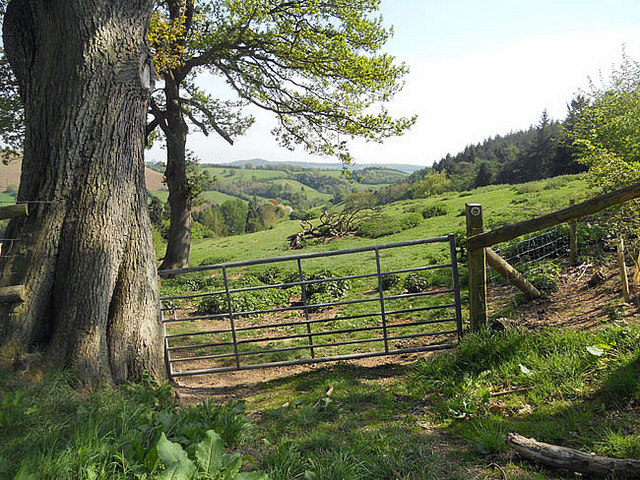
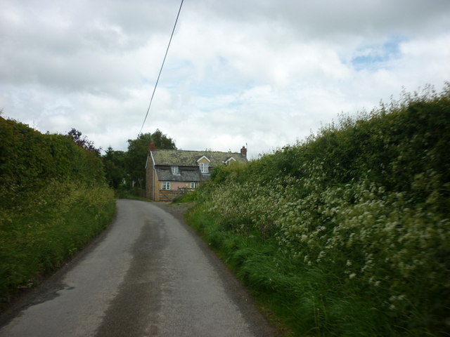
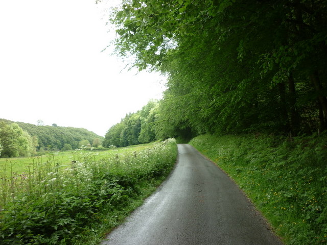
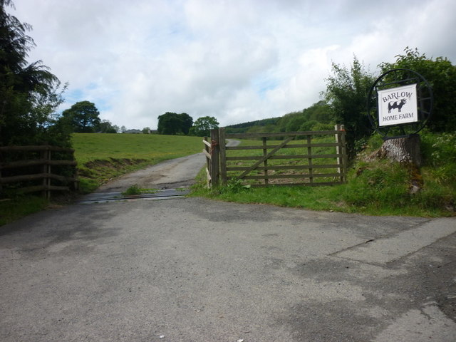
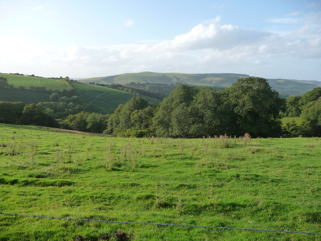
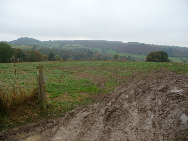
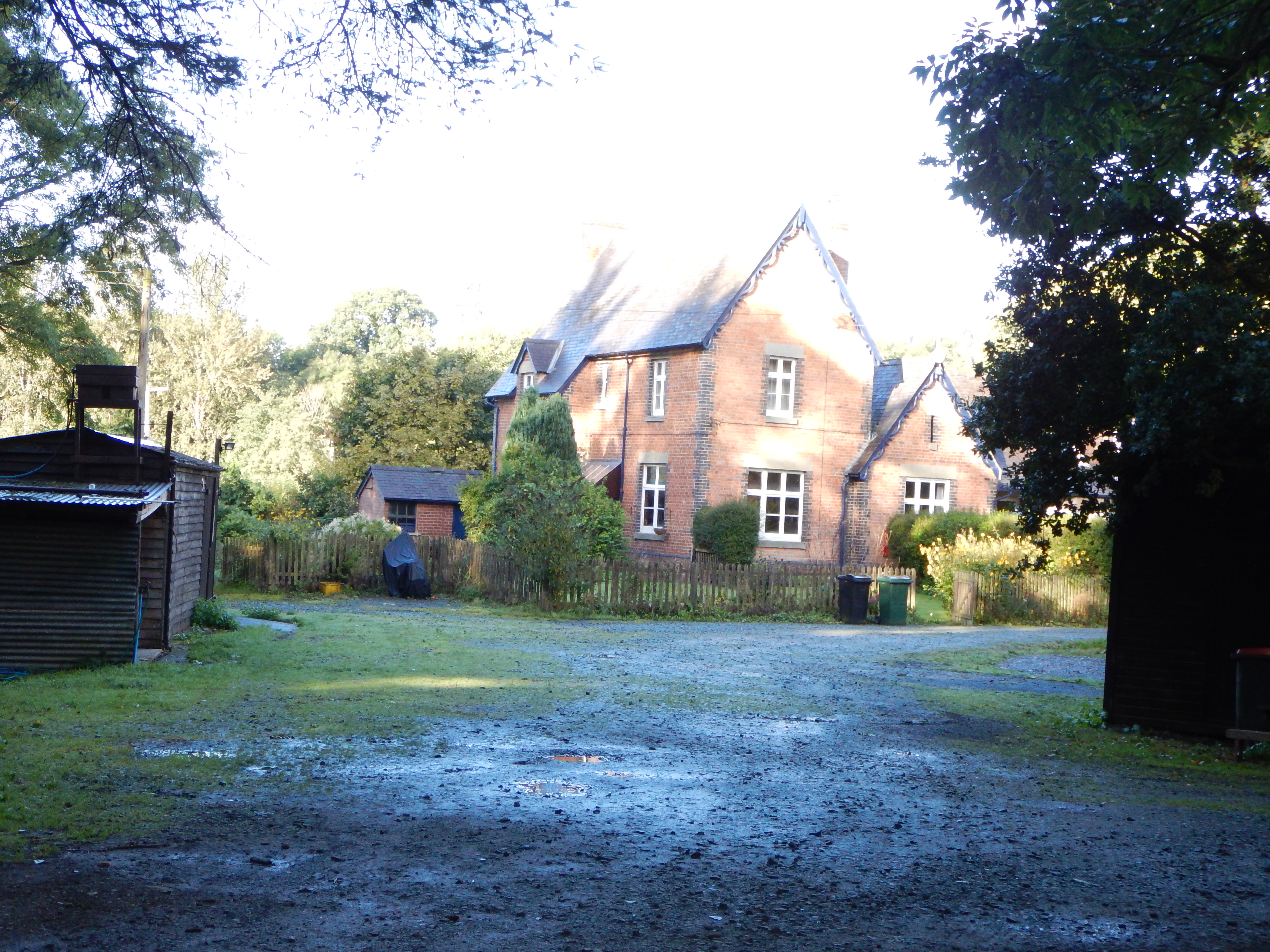
Basford is a small village located in the county of Shropshire, England. Situated approximately 6 miles south of the county town of Shrewsbury, Basford has a population of around 500 residents. The village is nestled amidst picturesque countryside, offering stunning views of the rolling hills and meandering rivers that characterize the region.

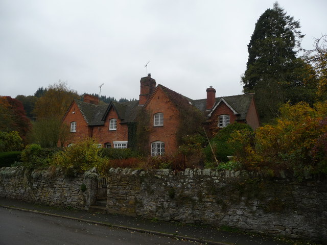
Basford's history can be traced back to the Domesday Book, where it was listed as "Basforda." Over the centuries, the village has retained its rural charm, with many traditional stone-built houses and cottages still standing. The community has preserved several historic landmarks, such as St. Michael's Church, which dates back to the 12th century and features beautiful stained glass windows.

Despite its small size, Basford boasts a strong sense of community, with various local events and activities taking place throughout the year. The village has a village hall that serves as a hub for social gatherings, including fitness classes, craft fairs, and community meetings.

Basford is ideally located for those seeking a tranquil lifestyle while still having easy access to urban amenities. Nearby Shrewsbury offers a wide range of shopping, dining, and entertainment options, and the village is also well-connected by public transportation, with regular bus services to surrounding towns and villages.

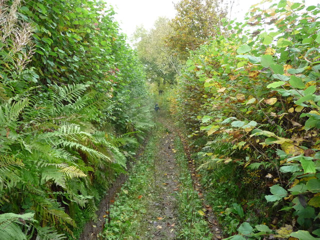
Nature enthusiasts will appreciate Basford's proximity to the Shropshire Hills, an Area of Outstanding Natural Beauty. This designation ensures that the countryside surrounding the village remains unspoiled, providing countless opportunities for hiking, cycling, and wildlife spotting.

In summary, Basford is a charming village in Shropshire that offers a peaceful and idyllic setting, rich in history and surrounded by natural beauty.

If you have any feedback on the listing, please let us know in the comments section below.

Basford Images

Images are sourced within 2km of 52.462379/-2.898543 or Grid Reference SO3985. Thanks to Geograph Open Source API. All images are credited.

A gate on the Shropshire Way
Hopesay - the village call centre
The Fish is down the hill and The Wart is straight on
Minor road at Lynchgate leading to Edgton
Both roads lead to Edgton
Edgton Cross, Edgton
Turn right for Hopesay
A minor road to Hopesay
The way to Barlow Home Farm
The village of Hopesay
Lane junction in Round Oak Shropshire has its share of intriguing place names, but 'The Fish' is surely right up there with the best.
Lane junction in Round Oak
Shropshire has its share of intriguing place names, but 'The Fish' is surely right up there with the best.
Road sign at Round Oak Nice accoutrement.
Road sign at Round Oak
Nice accoutrement.
View to the southern end of the Long Mynd from near Upper Carwood Black Knoll is visible on the ridge up. A fave walk of mine is all along the Long Mynd from the southern end northwards.
View to the southern end of the Long Mynd from near Upper Carwood
Black Knoll is visible on the ridge up. A fave walk of mine is all along the Long Mynd from the southern end northwards.
Cottages in Hopesay, Shropshire The orange brickwork is echoed now by the russety autumn colours coming in on neighbouring trees.
Cottages in Hopesay, Shropshire
The orange brickwork is echoed now by the russety autumn colours coming in on neighbouring trees.
Hedged footpath on the edge of Hopesay village The village is surrounded by a network of hedged field access paths and sunken lanes of possibly great antiquity.
Hedged footpath on the edge of Hopesay village
The village is surrounded by a network of hedged field access paths and sunken lanes of possibly great antiquity.
On part of the Shropshire Way near Hopesay Vehicular activity has made a mini-quagmire of the gateway here, a not untypical scene on any section of the Shropshire Way but compensated for at this point by an attractive view to Wart Hill.
On part of the Shropshire Way near Hopesay
Vehicular activity has made a mini-quagmire of the gateway here, a not untypical scene on any section of the Shropshire Way but compensated for at this point by an attractive view to Wart Hill.
Grit bin These bins are usually found beside steep unclassified roads.
Grit bin
These bins are usually found beside steep unclassified roads.
Grassland, Edgton
Grassland, Edgton
Show me another place!

Basford is located at Grid Ref: SO3985 (Lat: 52.462379, Lng: -2.898543)

Unitary Authority: Shropshire

Police Authority: West Mercia

What 3 Words

///casually.between.furniture. Near Craven Arms, Shropshire

Nearby Locations

Basford

Related Wikis

Edgton

Edgton is a small village and civil parish in Shropshire, England. It is also an ecclesiastical parish and a chapelry. It lies in a rather remote and very...

Hopesay

Hopesay is a small village, and civil parish, in south Shropshire, England. The population of the parish at the 2011 census was 561.The name 'Hopesay'...

St Mary's Church, Hopesay

St Mary's Church is in the village of Hopesay, Shropshire, England. It is an active Anglican parish church in the deanery of Clun Forest, the archdeaconry...

Horderley railway station

Horderley railway station was a station in Horderley, Wistanstow, Shropshire, England. The station was opened in March 1866 and closed on 20 April 1935...

Plowden railway station

Plowden railway station was a station in Plowden, Shropshire, England. The station was opened in February 1866 and closed on 20 April 1935. == See also... ==

Plowden, Shropshire

Plowden is a hamlet in the parish of Lydbury North, Shropshire, England. It is in the valley of the River Onny and lies 3 miles east of Bishop's Castle...

Burrow (Shropshire)

Burrow is a hill in Shropshire with an Iron Age hill fort at the summit known as Burrow Camp. The nearest villages are Hopesay and Aston-on-Clun. It includes...

Cheney Longville Castle

Cheney Longville Castle was in the village of Cheney Longville to the north of Craven Arms, Shropshire (grid reference SO417847). It is a much restored...

Nearby Amenities

Located within 500m of 52.462379,-2.898543
Power: pole
Lat/Long: 52.4634766/-2.9017237
Power: pole
Lat/Long: 52.4631432/-2.9014233
Power: pole
Lat/Long: 52.4581178/-2.896539
Power: pole
Lat/Long: 52.4587699/-2.8973705
Power: pole
Lat/Long: 52.4593812/-2.8981483
Power: pole
Lat/Long: 52.4597391/-2.898446
Power: pole
Lat/Long: 52.4601787/-2.8988135
Power: pole
Lat/Long: 52.4606853/-2.8992882
Power: pole
Lat/Long: 52.4611053/-2.8996557
Power: pole
Lat/Long: 52.4615842/-2.9000607
Power: pole
Lat/Long: 52.4620646/-2.9004738
Power: pole
Lat/Long: 52.4625664/-2.9008922
Power: pole
Lat/Long: 52.4621758/-2.9048565
Power: pole
Lat/Long: 52.4609125/-2.9007044
Power: pole
Lat/Long: 52.4604533/-2.8991219
Power: pole
Lat/Long: 52.4596998/-2.8966007
Power: pole
Source: bing
Lat/Long: 52.4624667/-2.8956458
Power: pole
Source: bing
Lat/Long: 52.4618685/-2.8990817
Power: pole
Source: bing
Lat/Long: 52.4621174/-2.8982196
Power: pole
Source: bing
Lat/Long: 52.4622902/-2.8969789
Power: pole
Source: bing
Lat/Long: 52.4625925/-2.8947714
Power: pole
Source: bing
Lat/Long: 52.4626824/-2.8940284
Power: pole
Ref: 745245
Source: bing
Transformer: distribution
Lat/Long: 52.4622362/-2.8927061
The data included in this document is from www.openstreetmap.org. The data is made available under ODbL.

Have you been to Basford?

Leave your review of Basford below (or comments, questions and feedback).