Basford

Settlement in Staffordshire Newcastle-under-Lyme

England

Basford

Etruria A very rural looking scene in the heart of what was once heavily industrialised Potteries.  This is the staircase lock at the start of the Caldon canal.
Etruria Credit: David Stowell

Basford is a small village located in the county of Staffordshire, England. Situated approximately 3 miles east of Newcastle-under-Lyme, Basford is part of the borough of Newcastle-under-Lyme. The village is surrounded by picturesque countryside and is known for its peaceful and rural atmosphere.

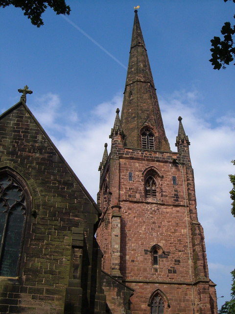
Basford has a long history dating back to the medieval period, and there are still remnants of its past visible today. The village features several historic buildings, including the Grade II listed Basford Hall, a former country house that has now been converted into apartments. The village also boasts a charming church, St. Chad's, which dates back to the 12th century and is a popular destination for history enthusiasts.

Despite its small size, Basford offers a range of amenities to its residents. There is a local primary school, which provides education to the village's children, as well as a community center that hosts various events and activities. The village is also home to a few small businesses, including a local convenience store and a pub, providing essential services to the community.

Basford's location makes it an ideal place for those who enjoy outdoor activities. The village is surrounded by beautiful countryside, offering opportunities for walking, cycling, and exploring the natural surroundings. Additionally, Basford is well-connected to nearby towns and cities, with easy access to major roads and public transportation.

Overall, Basford is a charming village with a rich history and a close-knit community. Its scenic location and range of amenities make it an attractive place to live for those seeking a quieter and more rural lifestyle.

If you have any feedback on the listing, please let us know in the comments section below.
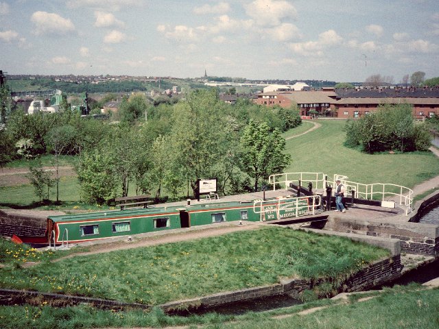
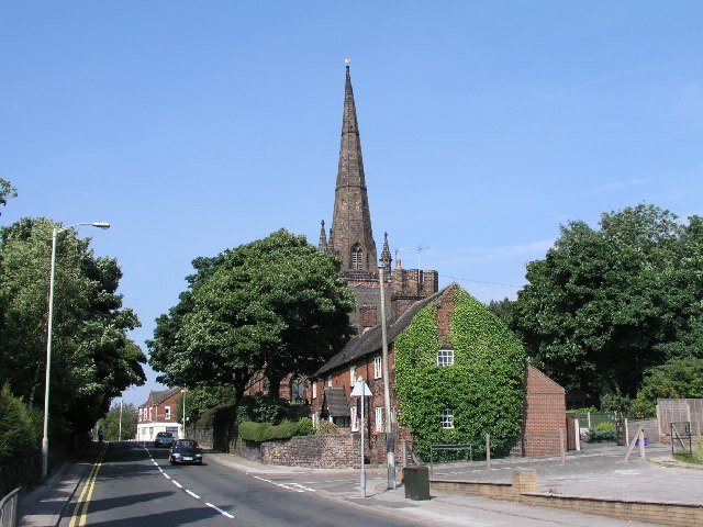
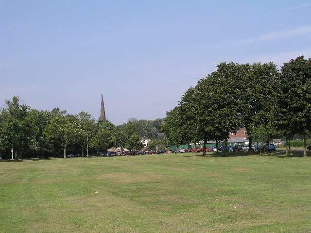
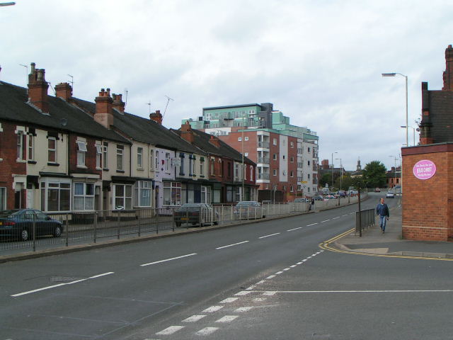
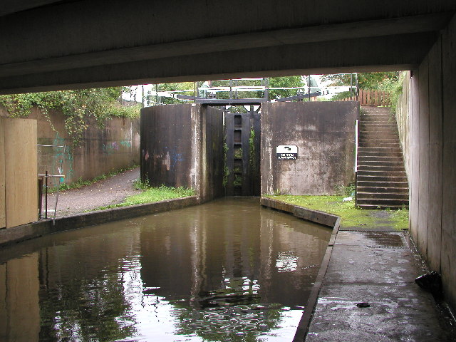
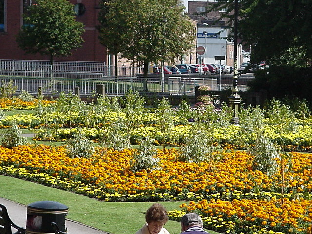
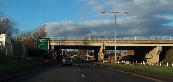
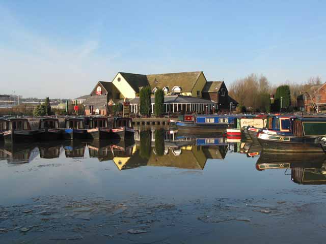
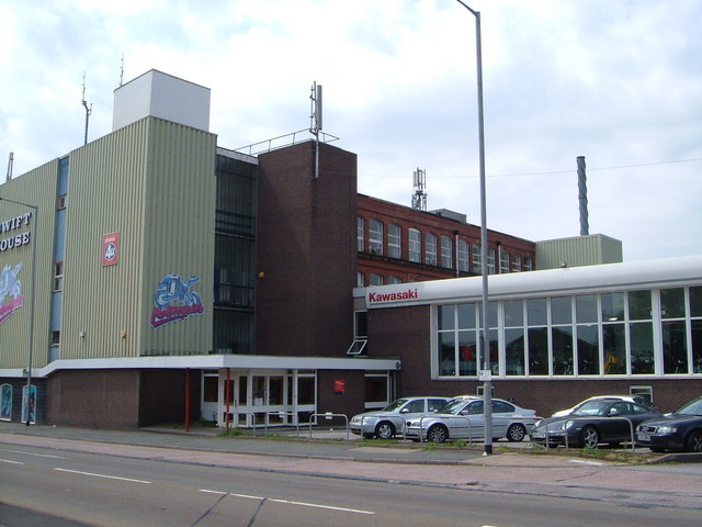
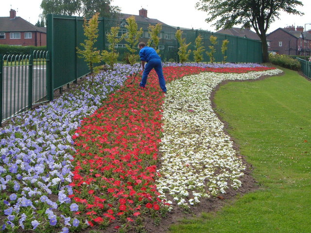
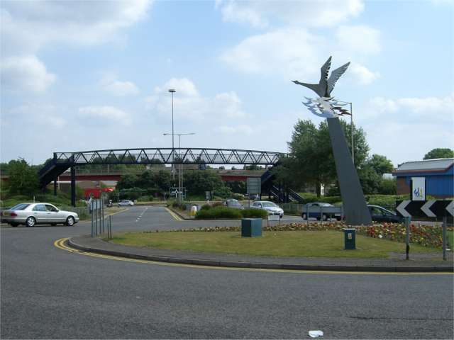
Basford Images

Images are sourced within 2km of 53.016755/-2.211624 or Grid Reference SJ8546. Thanks to Geograph Open Source API. All images are credited.

Etruria A very rural looking scene in the heart of what was once heavily industrialised Potteries.  This is the staircase lock at the start of the Caldon canal.
Etruria
A very rural looking scene in the heart of what was once heavily industrialised Potteries. This is the staircase lock at the start of the Caldon canal.
Festival Park This non standard trig point is believed to be remnant of the Garden Festival in 1986. If so, it's one of the last trig pillars ever built. 
The Festival park, on derelict industrial land is maturing into woodland.

Thank you to Roger Butler, who has confirmed that this was built for the Garden Festival, and was actually the last Triangulation Pillar constructed in Britain.
Festival Park
This non standard trig point is believed to be remnant of the Garden Festival in 1986. If so, it's one of the last trig pillars ever built. The Festival park, on derelict industrial land is maturing into woodland. Thank you to Roger Butler, who has confirmed that this was built for the Garden Festival, and was actually the last Triangulation Pillar constructed in Britain.
Wolstanton, Church of St Margaret View of St Margaret's Church, Wolstanton, Newcastle-under-Lyme, SJ856480. The Church of St Margaret, with its lofty spire may be seen at a large distance. It contains several monuments of the Sneyd family, and a handsome stone pulpit, erected in 1848
Wolstanton, Church of St Margaret
View of St Margaret's Church, Wolstanton, Newcastle-under-Lyme, SJ856480. The Church of St Margaret, with its lofty spire may be seen at a large distance. It contains several monuments of the Sneyd family, and a handsome stone pulpit, erected in 1848
May Bank, Wolstanton Marsh The Marsh is a large open space between May Bank and Wolstanton, given to the local people a long time ago by the Duchy of Lancaster as a recreational area in perpetuity. A Roman Road, Rykeneld Street, is also documented as crossing The Marsh at Wolstanton. This view taken at SJ856476 with St Margaret's Church in the background.
May Bank, Wolstanton Marsh
The Marsh is a large open space between May Bank and Wolstanton, given to the local people a long time ago by the Duchy of Lancaster as a recreational area in perpetuity. A Roman Road, Rykeneld Street, is also documented as crossing The Marsh at Wolstanton. This view taken at SJ856476 with St Margaret's Church in the background.
London Road, Newcastle under Lyme
Stoke Bottom Lock This is the lowest lock of a flight of five on the Trent and Mersey Canal in Stoke.  I believe it was rebuilt here in the 1960s when the original line of the canal was moved to accommodate the new road system in the city.  This lock has been fabricated out of concrete as opposed to the original which would have been made out of brick/stone.
Stoke Bottom Lock
This is the lowest lock of a flight of five on the Trent and Mersey Canal in Stoke. I believe it was rebuilt here in the 1960s when the original line of the canal was moved to accommodate the new road system in the city. This lock has been fabricated out of concrete as opposed to the original which would have been made out of brick/stone.
Floral Gardens, Newcastle-under-Lyme Hard to pinpoint on the 1940's map as the town centre has changed much since then.
Floral Gardens, Newcastle-under-Lyme
Hard to pinpoint on the 1940's map as the town centre has changed much since then.
The D Road approaching Cliff Vale I don't claim this photo has much merit as a Geograph, but this is where we were at lunchtime on Christmas Day, travelling north to have dinner with my dad and brother. It's the A500, just about to go under the B5045.
The D Road approaching Cliff Vale
I don't claim this photo has much merit as a Geograph, but this is where we were at lunchtime on Christmas Day, travelling north to have dinner with my dad and brother. It's the A500, just about to go under the B5045.
Festival Park Marina Etruria Festival Park Marina on the Trent & Mersey canal at Etruria Stoke-on-Trent. The China Garden is a popular Toby Inn with outside seating on the marina’s edge.

Just after the marina the Caldon Canal branches off down the Churnet Valley for Froghall. The junction is about half a mile to the south-west, behind the camera.
Festival Park Marina Etruria
Festival Park Marina on the Trent & Mersey canal at Etruria Stoke-on-Trent. The China Garden is a popular Toby Inn with outside seating on the marina’s edge. Just after the marina the Caldon Canal branches off down the Churnet Valley for Froghall. The junction is about half a mile to the south-west, behind the camera.
Festival Park Marina Etruria
Privilege Denis O’Connor’s sculpture ‘Privilege’ stands on the corner of Cavour Street and Etruria Old Road alongside the A53 through Etruria and was unveiled at the end of July 2005.

It depicts both traditional and new industries in the city of Stoke-on-Trent and is visible from the A53 one of the main gateways into town.
Privilege
Denis O’Connor’s sculpture ‘Privilege’ stands on the corner of Cavour Street and Etruria Old Road alongside the A53 through Etruria and was unveiled at the end of July 2005. It depicts both traditional and new industries in the city of Stoke-on-Trent and is visible from the A53 one of the main gateways into town.
St Giles' church, Newcastle-under-Lyme Seen from the east end, from the top of Church Street. The Early English west tower has survived several rebuilds of the rest of the church.
St Giles' church, Newcastle-under-Lyme
Seen from the east end, from the top of Church Street. The Early English west tower has survived several rebuilds of the rest of the church.
Swift House, Liverpool Rd, Newcastle under Lyme At Cross Heath on the northwest outskirts of Newcastle, this block houses firms dealing in motorbikes and mobile phones.
Swift House, Liverpool Rd, Newcastle under Lyme
At Cross Heath on the northwest outskirts of Newcastle, this block houses firms dealing in motorbikes and mobile phones.
St. Margaret's Church, Wolstanton A close-up of the east end and the tower and spire, from the churchyard.
St. Margaret's Church, Wolstanton
A close-up of the east end and the tower and spire, from the churchyard.
Patriotic flower-bed, Wolstanton Marsh Beside the junction of Moreton Parade with Church Lane.
Patriotic flower-bed, Wolstanton Marsh
Beside the junction of Moreton Parade with Church Lane.
Entrance to Festival Park This shows the footbridge over the main entrance road into Festival Park retail and entertainment areas. The sculpture on the roundabout is called "The Pace of Recovery"
Entrance to Festival Park
This shows the footbridge over the main entrance road into Festival Park retail and entertainment areas. The sculpture on the roundabout is called "The Pace of Recovery"
Odeon Cinema, Festival Park
Show me another place!

Basford is located at Grid Ref: SJ8546 (Lat: 53.016755, Lng: -2.211624)

Administrative County: Staffordshire

District: Newcastle-under-Lyme

Police Authority: Staffordshire

What 3 Words

///shelf.haven.beam. Near Stoke-on-Trent, Staffordshire

Related Wikis

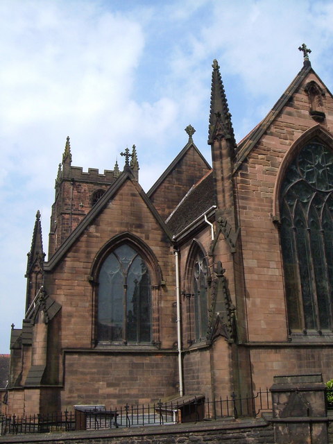
St Mark's Church, Basford

St Mark's Church is in Basford, Staffordshire, England. It is an active Anglican parish church, in the deanery of Newcastle-under-Lyme, the archdeaconry...

New Vic Theatre

The New Vic Theatre is a purpose-built theatre in the round in Newcastle-under-Lyme, Staffordshire. The theatre opened in 1986, replacing a converted cinema...

Basford, Staffordshire

Basford is a suburb which sits on high ground between Newcastle-under-Lyme and Stoke-on-Trent in Staffordshire, England. == History == The Roman road of...

Hartshill and Basford Halt railway station

Hartshill and Basford Halt was a railway station located between the Stoke-on-Trent and Newcastle-under-Lyme stations on the Market Drayton branch of the...

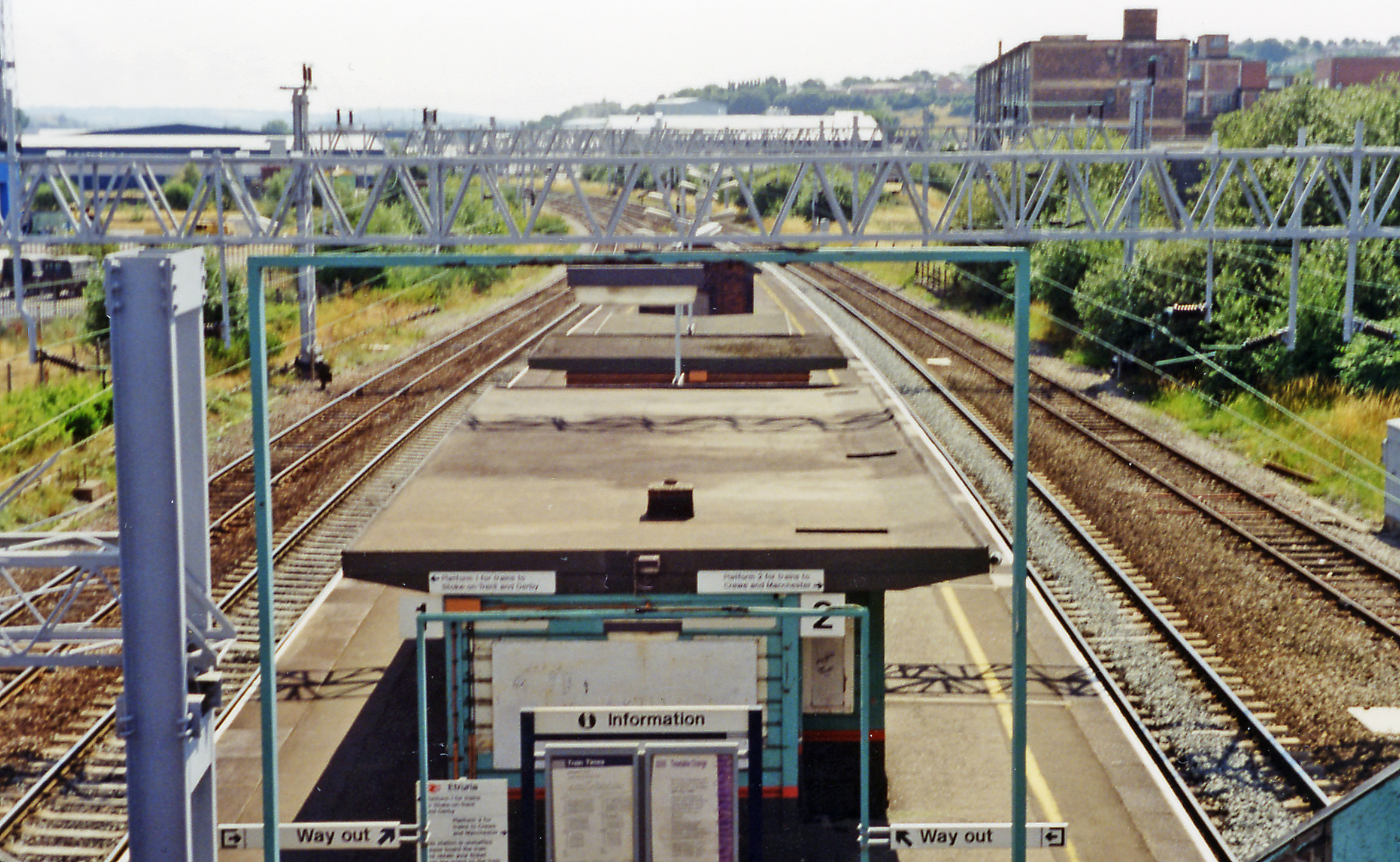
Etruria railway station

Etruria station is a closed station in Stoke-on-Trent, Staffordshire, England, which served the areas of Etruria and the larger district of Newcastle-under...

Newcastle-under-Lyme School

Newcastle-under-Lyme School is a mixed Private day school in the town of Newcastle-under-Lyme in Staffordshire, England. It came about by a merger of the...

Etruria, Staffordshire

Etruria is a suburb of Stoke-on-Trent, Staffordshire, England. == History == === Home of Wedgwood === Etruria was the fourth and penultimate site for the...

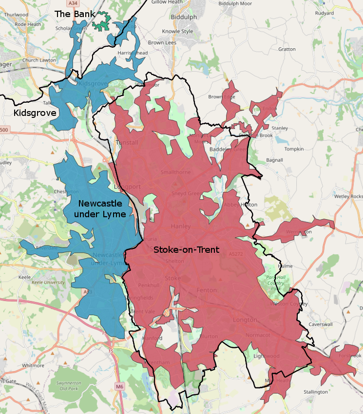
Stoke-on-Trent built-up area

The Stoke-on-Trent Built-up Area or The Potteries Urban Area or colloquially, simply "The Potteries" is a conurbation in North Staffordshire in the West...

Related Videos

Disney Magic At Sea August 2021- Pre-Travel Day

Hello Everyone! It's Tom and Paul. We're The Blokes From Stoke! Sharing our love of Disney, Universal, Theme Parks, Travel, ...

California / Disneyland Vlogs 2024 - Travel Day - Virgin Atlantic Upper Class London Heathrow to LAX

Hello Everyone! It's Tom and Paul! We're The Blokes From Stoke! Two big kids (and a dog) sharing our love of Disney, Universal, ...

Walk in Hanley - Stoke on Trent - England - Town Centre

Stoke on Trent , Hanley Walk Tour Hanley is one of the six towns that, along with Burslem, Longton, Fenton, Tunstall and ...

Nearby Amenities

Located within 500m of 53.016755,-2.211624
Traffic Signals
Traffic Signals: signal
Traffic Signals Direction: forward
Lat/Long: 53.0165819/-2.2090496
Traffic Signals
Crossing: traffic_signals
Tactile Paving: yes
Traffic Signals: signal
Traffic Signals Direction: forward
Lat/Long: 53.0127286/-2.2100829
Traffic Signals
Lat/Long: 53.0148374/-2.216698
Bus Stop
Albert Street
Bus: yes
Naptan AtcoCode: 3800C540401
Naptan Bearing: SW
Naptan CommonName: Albert Street
Naptan Indicator: Adj
Naptan Landmark: Albert Street
Naptan PlusbusZoneRef: STOKEOT
Naptan Street: King Street
Naptan Verified: no
Public Transport: platform
Source: naptan_import
Lat/Long: 53.0145778/-2.2174017
Bus Stop
Sandy Lane
Bus: yes
Naptan AtcoCode: 3800C540601
Naptan Bearing: NE
Naptan CommonName: Sandy Lane
Naptan Indicator: Adj
Naptan Landmark: Sandy Ln
Naptan PlusbusZoneRef: STOKEOT
Naptan Street: King St
Naptan Verified: no
Public Transport: platform
Source: naptan_import
Lat/Long: 53.0151616/-2.2160317
Bus Stop
New Victoria Theatre
Bus: yes
Naptan AtcoCode: 3800C540701
Naptan Bearing: E
Naptan CommonName: New Victoria Theatre
Naptan Indicator: Adj
Naptan Landmark: New Victoria Theatre
Naptan PlusbusZoneRef: STOKEOT
Naptan Street: Etruria Road
Naptan Verified: no
Public Transport: platform
Source: naptan_import
Lat/Long: 53.0159958/-2.2137269
Bus Stop
Haydon Street
Bus: yes
Naptan AtcoCode: 3800C540801
Naptan Bearing: NE
Naptan CommonName: Haydon Street
Naptan Indicator: Opp
Naptan Landmark: Haydon Street
Naptan PlusbusZoneRef: STOKEOT
Naptan Street: Etruria Road
Naptan Verified: no
Public Transport: platform
Source: naptan_import
Lat/Long: 53.0169013/-2.208252
Bus Stop
Broughton Road
Bus: yes
Naptan AtcoCode: 3800C541001
Naptan Bearing: NW
Naptan CommonName: Broughton Road
Naptan Indicator: Adj
Naptan Landmark: Broughton Road
Naptan PlusbusZoneRef: STOKEOT
Naptan Street: Basford Park Road
Naptan Verified: no
Public Transport: platform
Source: naptan_import
Lat/Long: 53.0168309/-2.2081252
Bus Stop
Methodist Church
Bus: yes
Naptan AtcoCode: 3800C541002
Naptan Bearing: SE
Naptan CommonName: Methodist Church
Naptan Indicator: Opp
Naptan Landmark: Methodist Church
Naptan PlusbusZoneRef: STOKEOT
Naptan Street: Basford Park Road
Naptan Verified: no
Public Transport: platform
Source: naptan_import
Lat/Long: 53.0173329/-2.2099919
Bus Stop
Elm Street
Bus: yes
Naptan AtcoCode: 3800C541101
Naptan Bearing: SE
Naptan CommonName: Elm Street
Naptan Indicator: Adj
Naptan Landmark: Elm Street
Naptan PlusbusZoneRef: STOKEOT
Naptan Street: Basford Park Road
Naptan Verified: no
Public Transport: platform
Source: naptan_import
Lat/Long: 53.020241/-2.2124807
Bus Stop
May Avenue
Bus: yes
Naptan AtcoCode: 3800C541102
Naptan Bearing: N
Naptan CommonName: May Avenue
Naptan Indicator: Adj
Naptan Landmark: May Avenue
Naptan PlusbusZoneRef: STOKEOT
Naptan Street: Basford Park Road
Naptan Verified: no
Public Transport: platform
Source: naptan_import
Lat/Long: 53.0207345/-2.2130049
Basford
Place: suburb
Lat/Long: 53.0155968/-2.2093825
Turning Circle
Lat/Long: 53.0128047/-2.2128071
Turning Circle
Lat/Long: 53.0137174/-2.2168721
Turning Circle
Lat/Long: 53.0209729/-2.2093518
Turning Circle
Lat/Long: 53.0175158/-2.2139392
Turning Circle
Lat/Long: 53.020524/-2.2153062
Turning Circle
Lat/Long: 53.0209597/-2.2137329
The Brampton
Is In: newcastle-under-lyme
Place: hamlet
Lat/Long: 53.0170721/-2.2166452
Barrier: bollard
Lat/Long: 53.0180358/-2.207784
Noexit: yes
Lat/Long: 53.0170998/-2.2078652
Stop
Direction: backward
Stop: minor
Lat/Long: 53.0162065/-2.2124209
Traffic Signals
Traffic Signals: signal
Traffic Signals Direction: forward
Lat/Long: 53.0125808/-2.2097274
Traffic Signals
Traffic Signals: signal
Traffic Signals Direction: backward
Lat/Long: 53.0124574/-2.2103471
Turning Circle
Lat/Long: 53.0184125/-2.2069963
Pub
Hopinn
Addr City: Newcastle-under-Lyme
Addr Housenumber: 102
Addr Postcode: ST5 1JR
Addr Street: Albert Street
Camra: yes
Fhrs Id: 756321
Old Name: New Albert
Operator: Free House
Real Ale: yes
Website: www.hopinn.net
Lat/Long: 53.0146665/-2.2164794
Post Box
Brand: Royal Mail
Brand Wikidata: Q638098
Brand Wikipedia: en:Royal Mail
Operator: Royal Mail
Operator Wikidata: Q638098
Lat/Long: 53.0146561/-2.2171833
Speed Camera
Lat/Long: 53.0147227/-2.2171109
Crossing
Lat/Long: 53.018837/-2.2052665
Post Office
Basford Post Office
Addr Housenumber: 515
Addr Postcode: ST4 6HT
Addr Street: Etruria Road
Branch: Basford
Brand: Post Office
Brand Wikidata: Q1783168
Check Date: 2020-02-20
Fhrs Id: 1012917
Ref Pol Id: 3827
Source Addr: FHRS Open Data
Lat/Long: 53.0162925/-2.209842
Waste Basket
Lat/Long: 53.0151195/-2.2048776
Addr Housenumber: 59
Lat/Long: 53.0144452/-2.2073669
Addr Housenumber: 47
Lat/Long: 53.0147969/-2.207324
Addr Housenumber: 1
Lat/Long: 53.0147443/-2.2182867
Addr Housenumber: 5
Lat/Long: 53.0149009/-2.2183913
Addr Housename: Cornwall House
Lat/Long: 53.018625/-2.2166293
Addr Housenumber: 7
Lat/Long: 53.0149638/-2.2184316
Addr Housenumber: 9
Lat/Long: 53.0151026/-2.2184664
Addr Housenumber: 3
Lat/Long: 53.0148025/-2.2183162
Addr Housenumber: 78
Lat/Long: 53.0144008/-2.2178142
Addr Housenumber: 82
Lat/Long: 53.0144364/-2.2176855
Addr Housenumber: 80
Lat/Long: 53.0144186/-2.2177552
Addr Housenumber: 76
Lat/Long: 53.0143831/-2.2178705
Addr Housenumber: 88
Lat/Long: 53.0144944/-2.2174682
Addr Housenumber: 86
Lat/Long: 53.0144767/-2.2175299
Addr Housenumber: 74
Lat/Long: 53.0143638/-2.2179376
Addr Housenumber: 84
Lat/Long: 53.0144574/-2.2175916
Addr Housenumber: 538
Addr Street: Etruria Road
Lat/Long: 53.0164987/-2.2114025
Addr Housenumber: 536
Addr Street: Etruria Road
Lat/Long: 53.0165629/-2.2111758
Cozinha
Lat/Long: 53.0162292/-2.2108258
Decisions Hair Studio
Shop: hairdresser
Lat/Long: 53.0162211/-2.2109143
Addr Housenumber: 541
Lat/Long: 53.016147/-2.2115044
M.E. Cotton
Shop: newsagent
Lat/Long: 53.0162373/-2.2107587
Aspen Landscaping & Driveways
Lat/Long: 53.0162147/-2.2109948
Addr Housenumber: 543
Lat/Long: 53.016134/-2.211609
Addr Housenumber: 547
Lat/Long: 53.0161082/-2.211786
Addr Housenumber: 545
Lat/Long: 53.0161211/-2.2116948
Addr Housenumber: 537A
Lat/Long: 53.0161631/-2.2113408
Addr Housenumber: 537
Lat/Long: 53.0161679/-2.2112627
Heritage Leisure Designs
Lat/Long: 53.0162828/-2.2099039
Post Box
Lat/Long: 53.0163651/-2.2098689
Shop: hairdresser
Lat/Long: 53.0162715/-2.2099923
Cafe
Lat/Long: 53.0162618/-2.2100754
Addr Housename: Brunswick House
Lat/Long: 53.0167491/-2.2078654
Morrisons Daily
Addr Housenumber: 75-79
Addr Postcode: ST5 0QB
Addr Street: Oxford Road
Brand: Morrisons Daily
Brand Wikidata: Q99752411
Fhrs Id: 950737
Fixme: Location approximate
Operator: McColl's
Operator Wikidata: Q16997477
Shop: convenience
Source Addr: FHRS Open Data
Website: https://my.morrisons.com/storefinder/64918/morrisons-daily-basford-75-79-oxford-road
Lat/Long: 53.020719/-2.2117619
Entrance: main
Lat/Long: 53.0175667/-2.2145954
Entrance: emergency
Lat/Long: 53.0175357/-2.2147495
Bicycle Parking
Bicycle Parking: wall_loops
Capacity: 4
Lat/Long: 53.0175481/-2.2143477
Turning Circle
Lat/Long: 53.0170739/-2.2182963
Give Way
Direction: forward
Lat/Long: 53.0161346/-2.2124117
Stop
Direction: backward
Stop: minor
Lat/Long: 53.016261/-2.2111517
Cycleway: asl
Direction: forward
Lat/Long: 53.0126812/-2.2100748
Cycleway: asl
Direction: backward
Lat/Long: 53.0123697/-2.2100027
Cycleway: asl
Direction: backward
Lat/Long: 53.0124731/-2.2102601
Cycleway: asl
Direction: forward
Lat/Long: 53.0125662/-2.2097941
Traffic Signals
Traffic Signals: signal
Traffic Signals Direction: forward
Lat/Long: 53.0166594/-2.2095007
Traffic Signals
Traffic Signals: signal
Traffic Signals Direction: backward
Lat/Long: 53.0164815/-2.2096537
Traffic Signals
Traffic Signals: signal
Traffic Signals Direction: forward
Lat/Long: 53.0164398/-2.2092059
Mode Designer Kitchens & Bedrooms
Addr City: Basford
Addr Housenumber: 551
Addr Postcode: ST4 6HH
Addr Street: Etruria Road
Opening Hours: Mo-Fr 09:00-17:00, Sa 09:00-14:00, Su 10:00-16:00
Phone: +44 1782 610999
Shop: kitchen
Website: https://www.modedesignerkitchensandbedrooms.co.uk
Lat/Long: 53.0159541/-2.2119468
Barrier: bollard
Lat/Long: 53.0199325/-2.2100787
Barrier: bollard
Lat/Long: 53.0203091/-2.210732
Barrier: bollard
Lat/Long: 53.0195258/-2.2094718
Generator Method: photovoltaic
Generator Output Electricity: yes
Generator Source: solar
Generator Type: solar_photovoltaic_panel
Location: roof
Power: generator
Lat/Long: 53.0145993/-2.2120379
Generator Method: photovoltaic
Generator Output Electricity: yes
Generator Source: solar
Generator Type: solar_photovoltaic_panel
Location: roof
Power: generator
Lat/Long: 53.0150471/-2.2083452
Generator Method: photovoltaic
Generator Output Electricity: yes
Generator Source: solar
Generator Type: solar_photovoltaic_panel
Location: roof
Power: generator
Lat/Long: 53.0141104/-2.2073507
Generator Method: photovoltaic
Generator Output Electricity: yes
Generator Source: solar
Generator Type: solar_photovoltaic_panel
Location: roof
Power: generator
Lat/Long: 53.0141467/-2.2073145
Generator Method: photovoltaic
Generator Output Electricity: yes
Generator Source: solar
Generator Type: solar_photovoltaic_panel
Location: roof
Power: generator
Lat/Long: 53.0141684/-2.2073132
Generator Method: photovoltaic
Generator Output Electricity: yes
Generator Source: solar
Generator Type: solar_photovoltaic_panel
Location: roof
Power: generator
Lat/Long: 53.0143936/-2.2073373
Generator Method: photovoltaic
Generator Output Electricity: yes
Generator Source: solar
Generator Type: solar_photovoltaic_panel
Location: roof
Power: generator
Lat/Long: 53.0148583/-2.2073715
Generator Method: photovoltaic
Generator Output Electricity: yes
Generator Source: solar
Generator Type: solar_photovoltaic_panel
Location: roof
Power: generator
Lat/Long: 53.0147703/-2.2078416
Generator Method: photovoltaic
Generator Output Electricity: yes
Generator Source: solar
Generator Type: solar_photovoltaic_panel
Location: roof
Power: generator
Lat/Long: 53.0146364/-2.2078335
The data included in this document is from www.openstreetmap.org. The data is made available under ODbL.

Have you been to Basford?

Leave your review of Basford below (or comments, questions and feedback).