Bashall Hall
Heritage Site in Yorkshire Ribble Valley
England
Bashall Hall
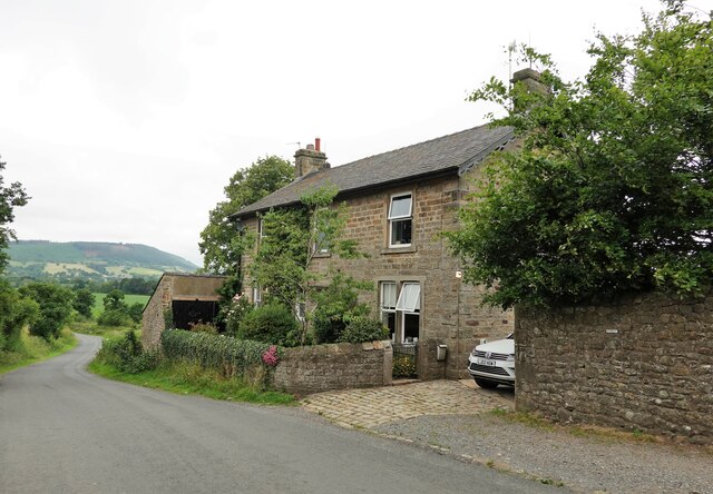
Bashall Hall, located in the picturesque Ribble Valley in Yorkshire, England, is a historic country house that has been designated as a Heritage Site. The hall, dating back to the 17th century, is nestled amidst beautiful countryside, offering visitors a glimpse into the area's rich architectural and cultural heritage.
The hall was originally built in the late 1600s and has since undergone several renovations and additions, while still maintaining its original charm and character. The architecture is predominantly in the Jacobean style, with its distinctive mullioned windows, stone quoins, and a grand entrance porch.
The estate surrounding Bashall Hall is equally impressive, encompassing extensive gardens, rolling parkland, and woodland. The gardens feature manicured lawns, vibrant flower beds, and a variety of ornamental trees, providing visitors with a tranquil and picturesque setting.
Aside from its architectural and natural beauty, Bashall Hall has a rich history that adds to its allure. Over the years, the hall has been home to several notable families, each leaving their mark on the estate. It has also served various purposes, including as a private residence, a school, and currently, it operates as a luxury hotel and event venue.
Today, visitors to Bashall Hall can explore the grounds, take guided tours of the house to learn about its history, or indulge in the hotel's exquisite dining experience. The hall is also a popular venue for weddings and other special occasions, offering a unique and memorable setting for celebrations.
Bashall Hall stands as a testament to Yorkshire's architectural and cultural heritage, attracting visitors from far and wide who are captivated by its beauty, history, and tranquility.
If you have any feedback on the listing, please let us know in the comments section below.
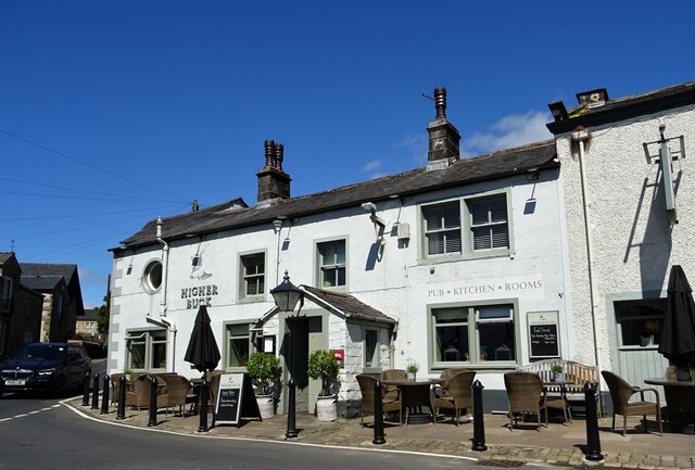
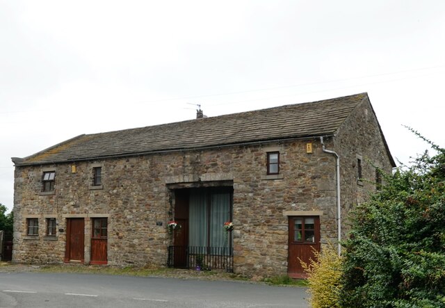
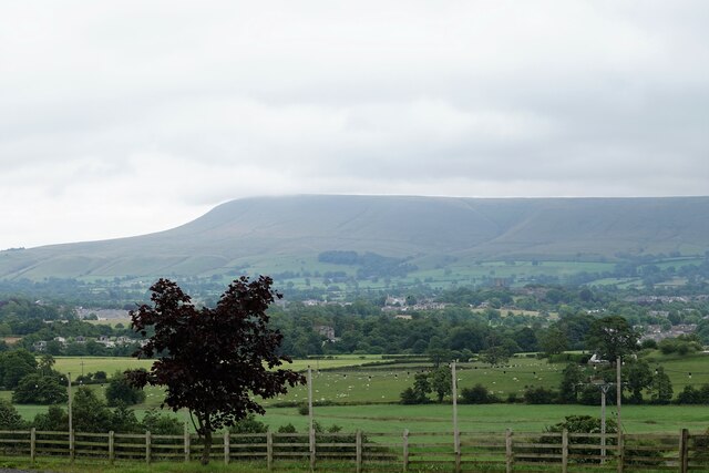
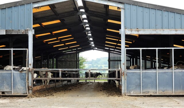
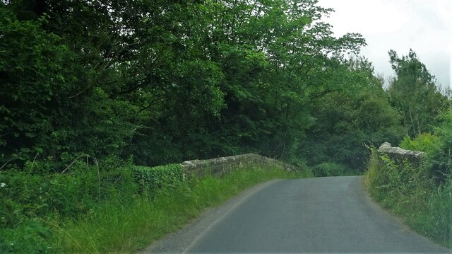
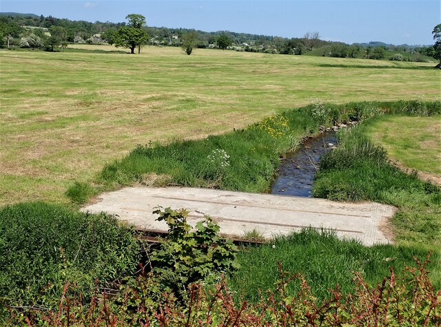
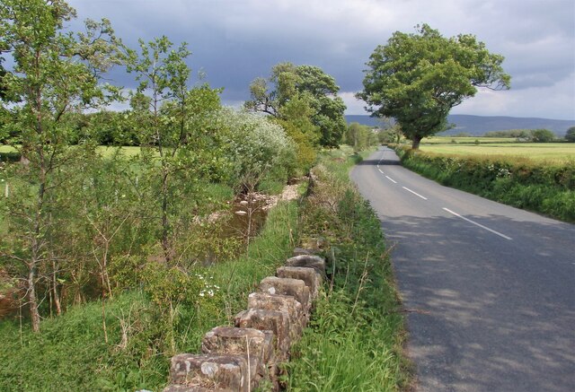
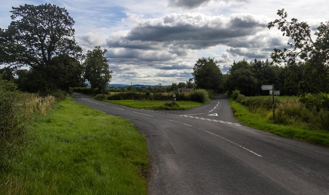
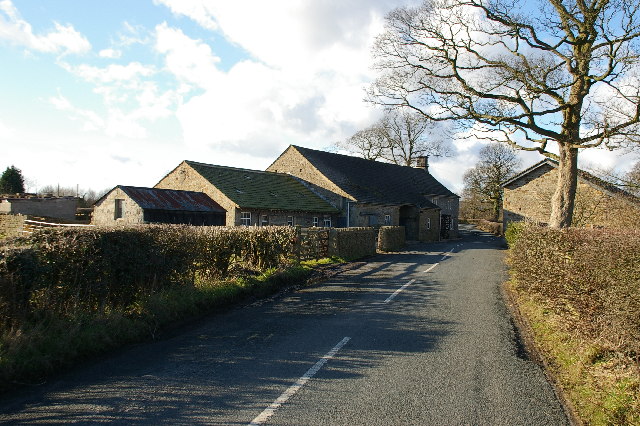
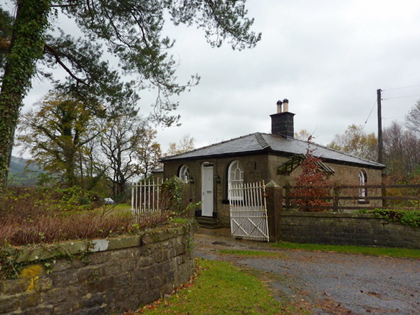
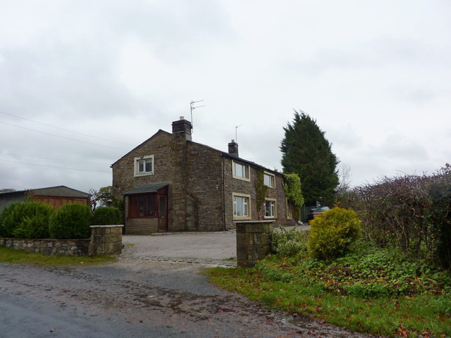
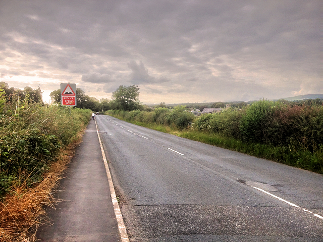
Bashall Hall Images
Images are sourced within 2km of 53.878/-2.433 or Grid Reference SD7142. Thanks to Geograph Open Source API. All images are credited.

Bashall Hall is located at Grid Ref: SD7142 (Lat: 53.878, Lng: -2.433)
Division: West Riding
Administrative County: Lancashire
District: Ribble Valley
Police Authority: Lancashire
What 3 Words
///grants.tolerable.pack. Near Waddington, Lancashire
Nearby Locations
Related Wikis

Bashall Brook
Bashall Brook is a minor river in Lancashire, England. It is 7.09 miles (11.41 km) long and has a catchment area of 6.86 square miles (1,777.68 ha).The...

Limy Water
The Limy Water is a minor river in Lancashire, England. It is 4.95 miles (7.96 km) long and has a catchment area of 7.71 square miles (1,996.33 ha).The...

Waddington, Lancashire
Waddington is a small village, 2 miles (3 km) north-west of Clitheroe in the Ribble Valley, Lancashire, England. The population of the civil parish at...

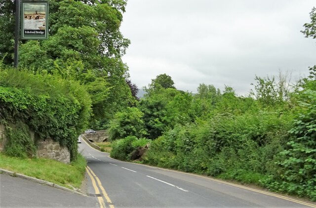
Edisford Bridge
Edisford Bridge (or Eadsford) is a toll-free, nine-span bridge over the River Ribble near Clitheroe, Lancashire, England. A Grade II listed structure and...
Low Moor, Lancashire
Low Moor is a hamlet which is part of the town of Clitheroe, located in Lancashire, England. It is situated two miles southwest of Clitheroe proper. It...

St Helen's Church, Waddington
St Helen's Church is in the village of Waddington, Lancashire, England. It is an active Anglican parish church in the deanery of Whalley, the archdeaconry...

Waddow Hall
Waddow Hall is a 17th-century Grade II listed building within a 178-acre (72 ha) estate that serves as a conference and activity centre for Girlguiding...

Bashall Eaves
Bashall Eaves is a village and civil parish in the Ribble Valley district of Lancashire, England, about four miles (6 km) west of Clitheroe. The placename...
Nearby Amenities
Located within 500m of 53.878,-2.433Have you been to Bashall Hall?
Leave your review of Bashall Hall below (or comments, questions and feedback).