Shagbear Wood

Wood, Forest in Somerset

England

Shagbear Wood

Saltford - The River Avon east of Saltford Marina
Saltford - The River Avon east of Saltford Marina Credit: Colin Park

Shagbear Wood is a picturesque woodland located in Somerset, England. Covering an area of approximately 100 acres, this enchanting forest is a haven for nature lovers, hikers, and wildlife enthusiasts alike. The wood is nestled in a rural landscape, surrounded by rolling hills and scenic countryside.

The woodland is predominantly composed of ancient oak trees, giving it a timeless and majestic atmosphere. These towering trees create a dense canopy, allowing only fragments of sunlight to filter through, creating a magical play of light and shadow on the forest floor. The forest is also home to a diverse range of flora, including bluebells, wild garlic, and ferns, which add vibrant colors and textures to the woodland scenery.

Shagbear Wood is renowned for its rich biodiversity, providing a sanctuary for numerous species of birds, mammals, and insects. Birdwatchers can spot a variety of species, including woodpeckers, nuthatches, and thrushes. The wood is also home to small mammals such as foxes, badgers, and rabbits, which can sometimes be spotted during dawn or dusk.

The woodland offers a network of well-maintained trails, allowing visitors to explore its beauty at their own pace. These paths wind through the forest, crossing babbling brooks and meandering along the edges of tranquil ponds. The peaceful ambiance of Shagbear Wood makes it an ideal destination for those seeking solace and connection with nature.

Overall, Shagbear Wood in Somerset is a captivating and biodiverse forest, offering a serene escape from the hustle and bustle of everyday life. Its ancient oaks, diverse flora, and abundant wildlife make it a must-visit destination for nature enthusiasts and those seeking a tranquil retreat in the heart of the English countryside.

If you have any feedback on the listing, please let us know in the comments section below.

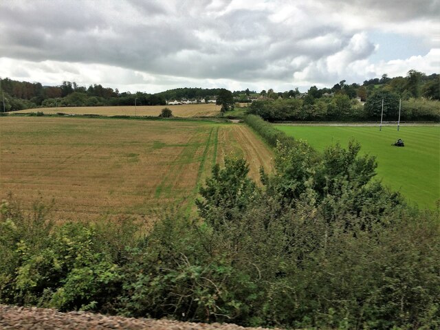
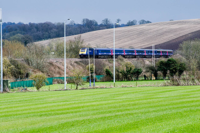
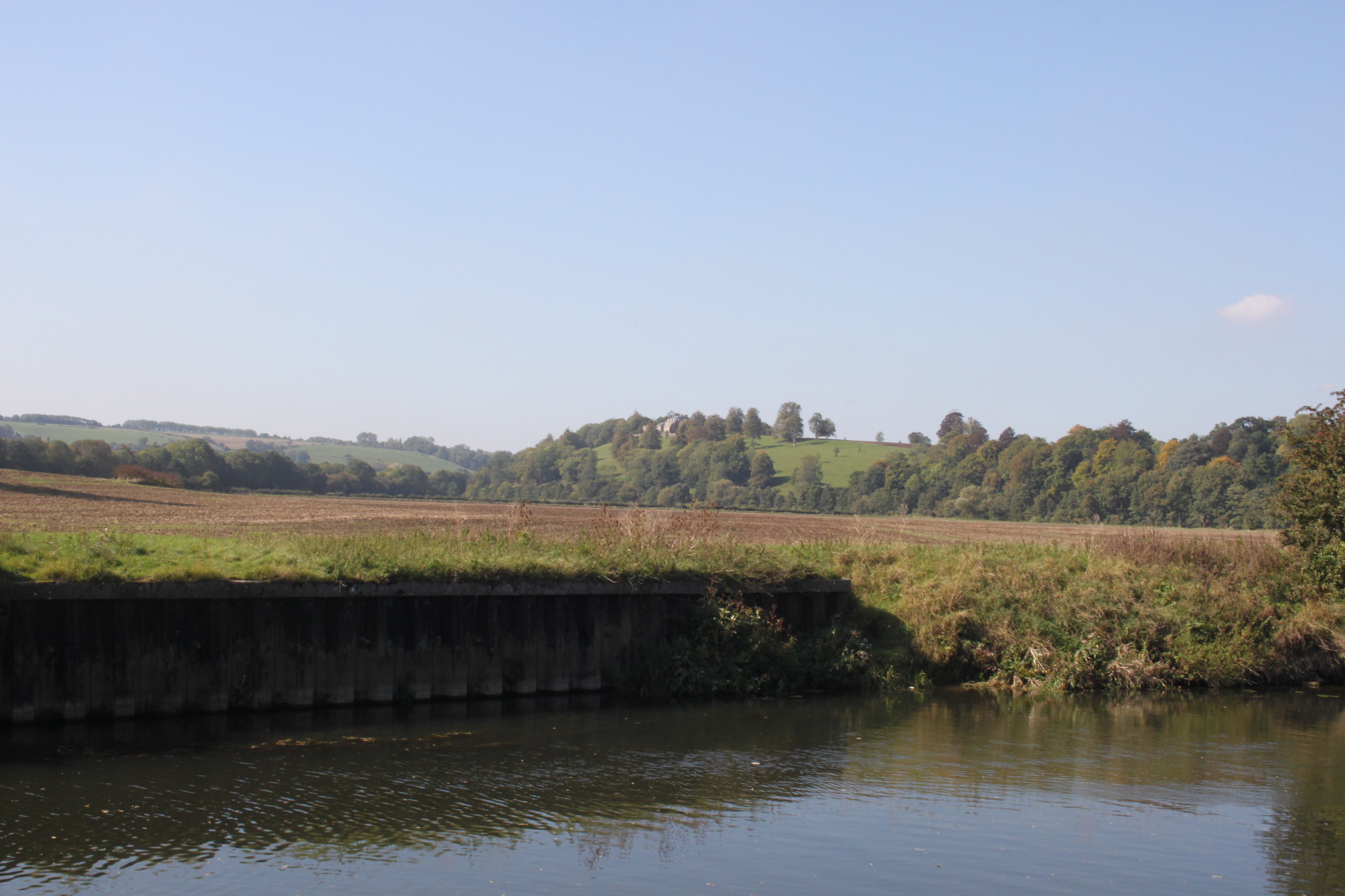
Shagbear Wood Images

Images are sourced within 2km of 51.40004/-2.4186733 or Grid Reference ST7066. Thanks to Geograph Open Source API. All images are credited.

Saltford - The River Avon east of Saltford Marina
Old Boundary Markers beside the A4 on Newton Bridge On Newton Bridge over Corston Brook, on the southwest side of the A4 Bristol Road.

On the left, on the boundary of Newton St Loe and Corston parishes, is Turnpike Parish Boundary Marker SO_BABR03pb. On its left face is NEWT.N / P.H and on its right face is CORST.N / P.H with BRISTOL TURNPIKE TRUST vertically between them and 1823 horizontally above. See also <a title="https://www.geograph.org.uk/photo/6038123" href="https://www.geograph.org.uk/photo/6038123">Link</a>.

On the right, entirely in Corston parish, is bridge marker SO_CORST01br.
Old Boundary Markers beside the A4 on Newton Bridge
On Newton Bridge over Corston Brook, on the southwest side of the A4 Bristol Road. On the left, on the boundary of Newton St Loe and Corston parishes, is Turnpike Parish Boundary Marker SO_BABR03pb. On its left face is NEWT.N / P.H and on its right face is CORST.N / P.H with BRISTOL TURNPIKE TRUST vertically between them and 1823 horizontally above. See also Link. On the right, entirely in Corston parish, is bridge marker SO_CORST01br.
River Avon and Kelston Brass Mill The end of Saltford Lock is seen on the extreme right. There is a heron on the weir. The two annealing furnace chimneys are the remains of a former brass mill and are Listed Grade II.
River Avon and Kelston Brass Mill
The end of Saltford Lock is seen on the extreme right. There is a heron on the weir. The two annealing furnace chimneys are the remains of a former brass mill and are Listed Grade II.
Kelston Brass Mill The outer shells of two former annealing furnaces that are Listed Grade II. There is a good view across the River Avon but no public access to the site.
Kelston Brass Mill
The outer shells of two former annealing furnaces that are Listed Grade II. There is a good view across the River Avon but no public access to the site.
From a Swindon-Bristol train, fields and playing field near Corston
From a Swindon-Bristol train, alongside the River Avon
The River Avon by Saltford
The River Avon by Corston
Avon Boathouse A small boathouse along the River Avon outside of Bath close to Saltford Marina
Avon Boathouse
A small boathouse along the River Avon outside of Bath close to Saltford Marina
Across the Avon near Saltford, 1966 Looking across the river (flowing to the left) from the railway line between Bristol and Bath, with the former Mangotsfield and Bath railway line, which has now become the Bristol and Bath Railway Path. Above it rises Tennant's Wood. See also <a href="https://www.geograph.org.uk/photo/2447349">ST6966 : The River Avon by Saltford</a>..
Across the Avon near Saltford, 1966
Looking across the river (flowing to the left) from the railway line between Bristol and Bath, with the former Mangotsfield and Bath railway line, which has now become the Bristol and Bath Railway Path. Above it rises Tennant's Wood. See also ST6966 : The River Avon by Saltford..
Balloon near Bath Looking north from the path near Seven Acre Wood towards Saltford.
Balloon near Bath
Looking north from the path near Seven Acre Wood towards Saltford.
Train near Saltford Train travelling the main line between Bath and Bristol just before Saltford
Train near Saltford
Train travelling the main line between Bath and Bristol just before Saltford
High Speed Train near Corston Train passing the Rugby ground at Corston.
High Speed Train near Corston
Train passing the Rugby ground at Corston.
Music without keys A steam organ at the Fête.
Music without keys
A steam organ at the Fête.
Getting the entrants' details An enthusiastic owner entering the dog show. The pet seems less keen, though.
Getting the entrants' details
An enthusiastic owner entering the dog show. The pet seems less keen, though.
Gleaming metal Corston Fête also features a lot of classic motors.
Gleaming metal
Corston Fête also features a lot of classic motors.
Bridge over the brook A sturdy and stylish bridge over Corston Brook.
Bridge over the brook
A sturdy and stylish bridge over Corston Brook.
A little steamed up A fully functioning but slightly smaller than usual stream engine.
A little steamed up
A fully functioning but slightly smaller than usual stream engine.
Show me another place!

Shagbear Wood is located at Grid Ref: ST7066 (Lat: 51.40004, Lng: -2.4186733)

Unitary Authority: Bath and North East Somerset

Police Authority: Avon and Somerset

What 3 Words

///alike.pokes.junction. Near Corston, Somerset

Related Wikis

Kelston toll road

The Kelston toll road was a 1,198-foot-long (365 m) private, temporary toll road, built by a private entrepreneur without planning permission between Bath...

Kelston Knoll

Kelston Knoll is a Grade II listed building on the National Heritage List for England, located in the parish of Kelston, a village near Bath, in Somerset...

Kelston

Kelston is a small village and civil parish in Somerset, 4 miles (6.4 km) north west of Bath, and 8 miles (12.9 km) east of Bristol, on the A431 road....

Kelston Park

Kelston Park is an 18th-century country house in the village of Kelston, approximately 3 miles from Bath in North East Somerset, England. Altogether the...

Bath University Boat Club

Bath University Boat Club is a rowing club on the River Avon, based at Newbridge, Bath, Somerset. == History == The club belongs to the University of Bath...

Oldfield School

Oldfield School is a secondary school, with a small sixth form, in Newbridge, Bath, England. Since February 2011, the school has had academy status, meaning...

Newton St Loe SSSI

Newton St Loe SSSI (grid reference ST715657) is a geological Site of Special Scientific Interest (SSSI) close to the River Avon, near the village of Newton...

Lettonie (restaurant)

Lettonie was a restaurant owned and run by chef Martin Blunos; it was located in Bristol until 1998 when it relocated to Bath, Somerset. It was awarded...

Nearby Amenities

Located within 500m of 51.40004,-2.4186733
Barrier: stile
Lat/Long: 51.3999408/-2.4168238
Barrier: stile
Lat/Long: 51.3986843/-2.4122876
Bus Stop
Kelston Park
Bus: yes
Naptan AtcoCode: 0180BAC30653
Naptan Bearing: NW
Naptan CommonName: Kelston Park
Naptan NaptanCode: bthdjdg
Naptan Street: Kelston Road
Naptan Verified: no
Public Transport: platform
Source: naptan_import
Lat/Long: 51.3966879/-2.4230157
Bus Stop
Kelston Pk
Bus: yes
Naptan AtcoCode: 0180BAC30654
Naptan Bearing: SE
Naptan CommonName: Kelston Pk
Naptan NaptanCode: bthdjda
Naptan Street: Kelston Road
Naptan Verified: no
Public Transport: platform
Source: naptan_import
Lat/Long: 51.39684/-2.4232328
Power: pole
Transformer: distribution
Lat/Long: 51.3965002/-2.4230196
Power: pole
Lat/Long: 51.3969657/-2.4220764
Power: pole
Lat/Long: 51.3970811/-2.4210112
Power: pole
Lat/Long: 51.3968842/-2.4231324
Power: pole
Lat/Long: 51.3986988/-2.413311
Power: pole
Lat/Long: 51.3986656/-2.4143516
Power: pole
Lat/Long: 51.3983543/-2.4155726
Power: pole
Lat/Long: 51.3969326/-2.4138255
The data included in this document is from www.openstreetmap.org. The data is made available under ODbL.

Have you been to Shagbear Wood?

Leave your review of Shagbear Wood below (or comments, questions and feedback).