Old Plantation
Wood, Forest in Gloucestershire
England
Old Plantation
Old Plantation is a picturesque woodland area located in Gloucestershire, England. Situated in the heart of the Forest of Dean, it is a popular destination for nature enthusiasts and those seeking tranquility amidst the beauty of nature. Covering an expansive area, the woodland is characterized by its dense tree cover, diverse flora, and abundant wildlife.
The Old Plantation boasts a rich history, dating back centuries. Originally part of the Royal Forest, it was an important hunting ground for royals and aristocrats. Today, remnants of this past can still be seen in the form of ancient oaks and beech trees that have stood the test of time.
Visitors to the Old Plantation can enjoy a variety of activities. Numerous walking trails meander through the woodland, offering opportunities for exploration and discovery. The forest floor is adorned with carpets of bluebells and wild garlic during the spring months, creating a breathtaking spectacle. Birdwatchers will be delighted by the diverse avian species that inhabit the area, including woodpeckers, owls, and various migratory birds.
For those interested in history, the Old Plantation is home to several archaeological sites, including remnants of Iron Age settlements and Roman fortifications. The woodland also houses a number of rare plant species, making it an important conservation area.
Whether it's a leisurely walk, a picnic amidst nature, or a quest for historical knowledge, the Old Plantation in Gloucestershire offers a unique and enriching experience for all who visit.
If you have any feedback on the listing, please let us know in the comments section below.
Old Plantation Images
Images are sourced within 2km of 51.619624/-2.4206921 or Grid Reference ST7091. Thanks to Geograph Open Source API. All images are credited.


Old Plantation is located at Grid Ref: ST7091 (Lat: 51.619624, Lng: -2.4206921)
Unitary Authority: South Gloucestershire
Police Authority: Avon and Somerset
What 3 Words
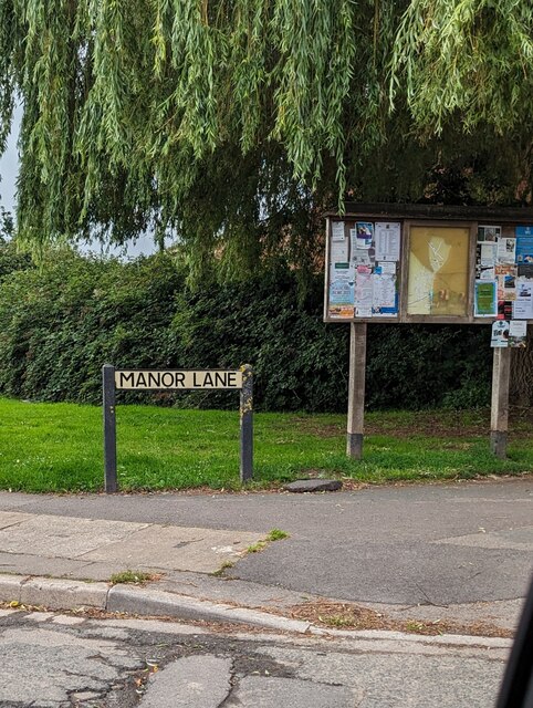
///vibrating.lions.eagle. Near Charfield, Gloucestershire
Nearby Locations
Related Wikis

Slickstones Quarry, Cromhall
Slickstones Quarry, Cromhall (grid reference ST704916) is a 2.7 hectare geological Site of Special Scientific Interest near the village of Cromhall, South...

Cromhall
Cromhall is a village in South Gloucestershire, England. It is located between Bagstone and Charfield on the B4058, and also borders Leyhill. The parish...

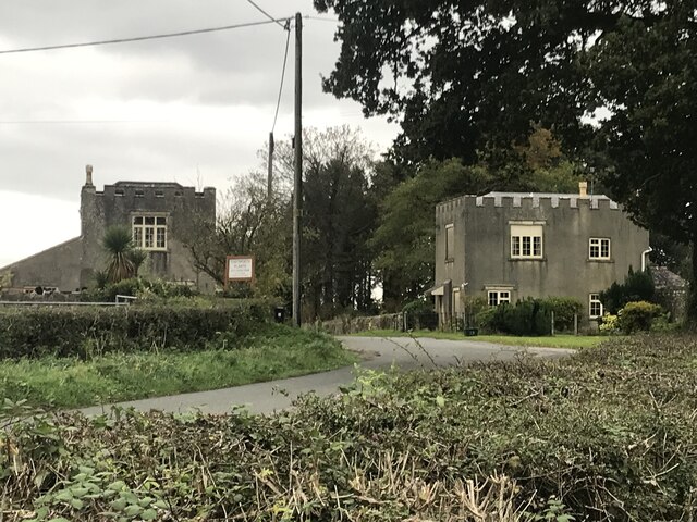
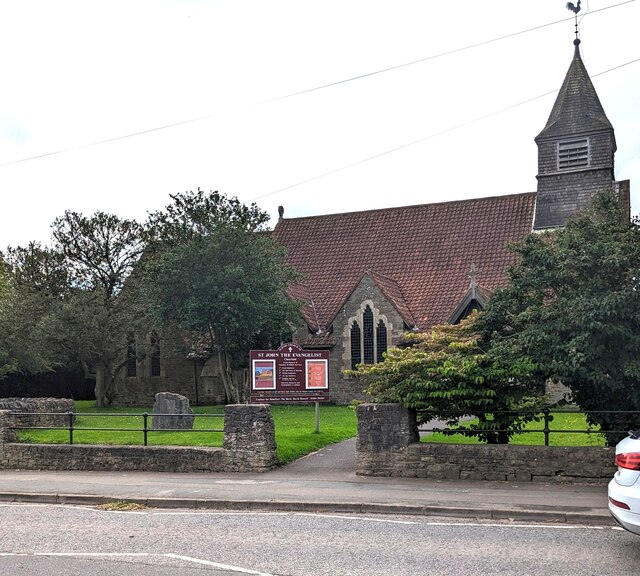
St James' Church, Charfield
St James' Church is a historic Anglican church at Churchend in the village of Charfield, Gloucestershire, England and is under the care of The Churches...
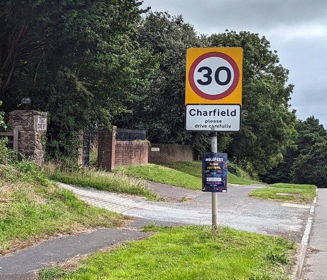
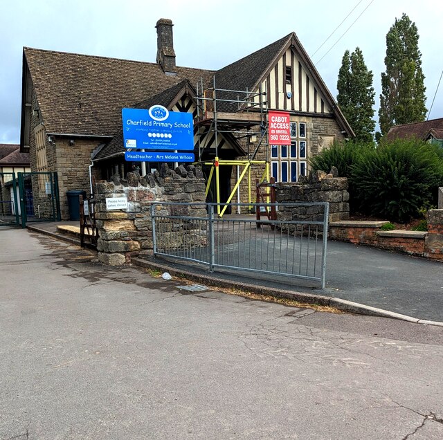
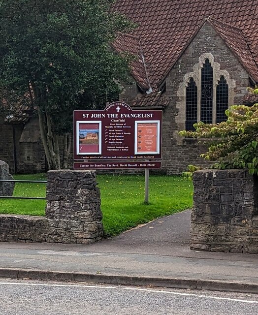
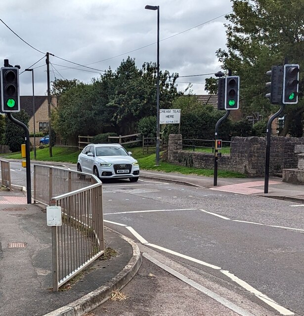
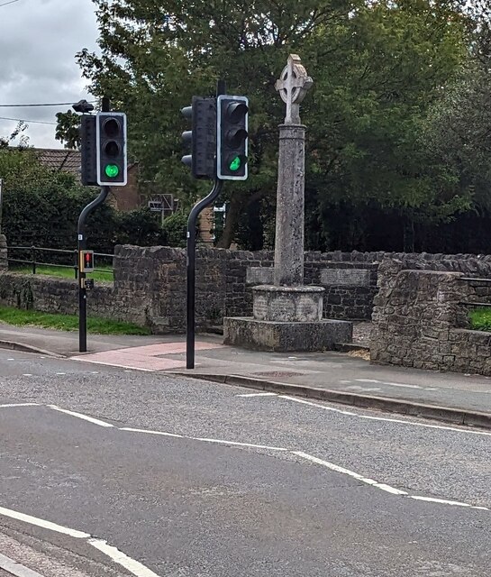
Charfield
Charfield is a village and civil parish in Gloucestershire, England, south-west of Wotton-under-Edge near the Little Avon River and the villages of Falfield...

Bibstone
Bibstone is a village in Gloucestershire, England. == External links == Media related to Bibstone at Wikimedia Commons

HM Prison Leyhill
HM Prison Leyhill is a Category D men's prison located in the parish of Tortworth in Gloucestershire, England. His Majesty's Prison Service operates Leyhill...

Charfield railway disaster
The Charfield railway disaster was a fatal train crash which occurred on 13 October 1928 in the village of Charfield in the English county of Gloucestershire...

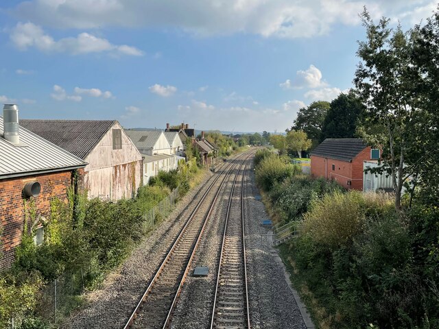
Charfield railway station
Charfield railway station served the village of Charfield in South Gloucestershire, England. The station was on the Bristol and Gloucester Railway, originally...
Nearby Amenities
Located within 500m of 51.619624,-2.4206921Have you been to Old Plantation?
Leave your review of Old Plantation below (or comments, questions and feedback).