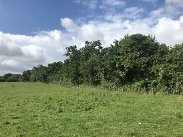
Little Wood
Wood, Forest in Gloucestershire
England
Little Wood
Little Wood is a small forest located in Gloucestershire, England. Situated amidst the picturesque countryside, this woodland area covers an approximate area of 50 acres. It is a part of the larger Forest of Dean, which is renowned for its natural beauty and rich biodiversity.
Little Wood features a diverse range of tree species, including oak, beech, ash, and birch. The dense canopy created by these trees provides a tranquil and shaded environment, making it a popular destination for nature enthusiasts and hikers. The forest floor is covered with a carpet of wildflowers and ferns, adding to its charm and beauty.
The woodland is home to a variety of wildlife, including deer, foxes, badgers, and numerous species of birds. It serves as an important habitat for these creatures, providing them with shelter and food sources. Birdwatchers can spot a range of avian species, such as woodpeckers, owls, and thrushes, making it an ideal location for birdwatching enthusiasts.
Little Wood offers several walking trails and footpaths, allowing visitors to explore its enchanting surroundings. These paths are well-maintained and provide an opportunity to immerse oneself in the natural splendor while enjoying the peaceful ambience. The forest also houses a few picnic spots, where visitors can relax and indulge in a meal amidst nature.
Overall, Little Wood in Gloucestershire is a haven for those seeking solace in nature. Its lush greenery, diverse wildlife, and serene atmosphere make it a must-visit destination for anyone looking to escape the hustle and bustle of city life and reconnect with the natural world.
If you have any feedback on the listing, please let us know in the comments section below.
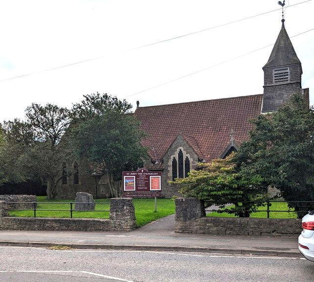
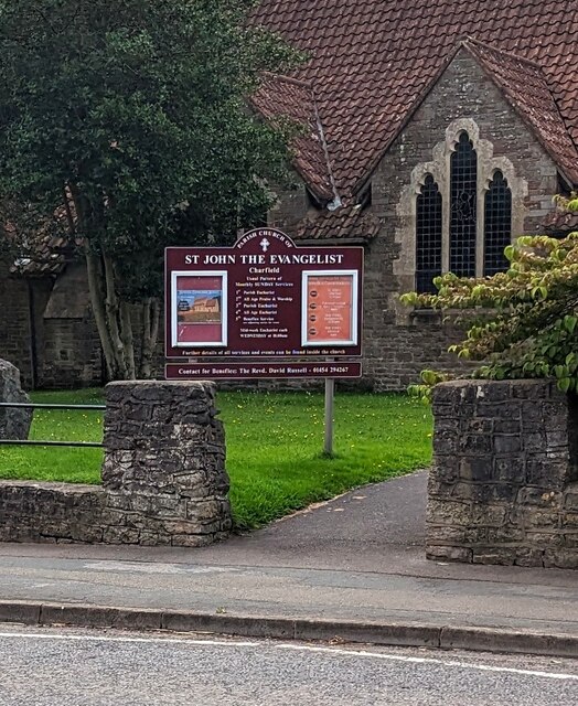
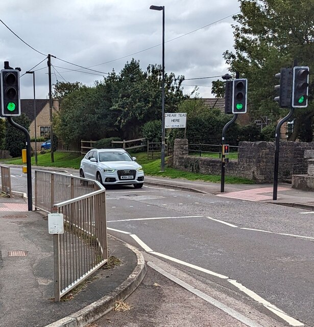
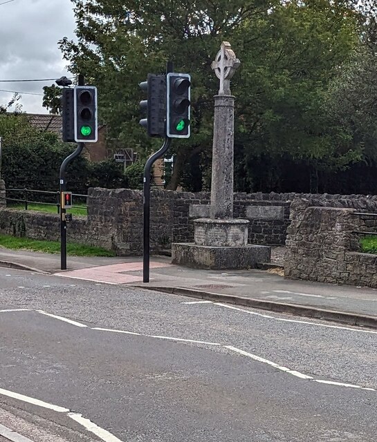
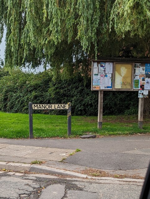
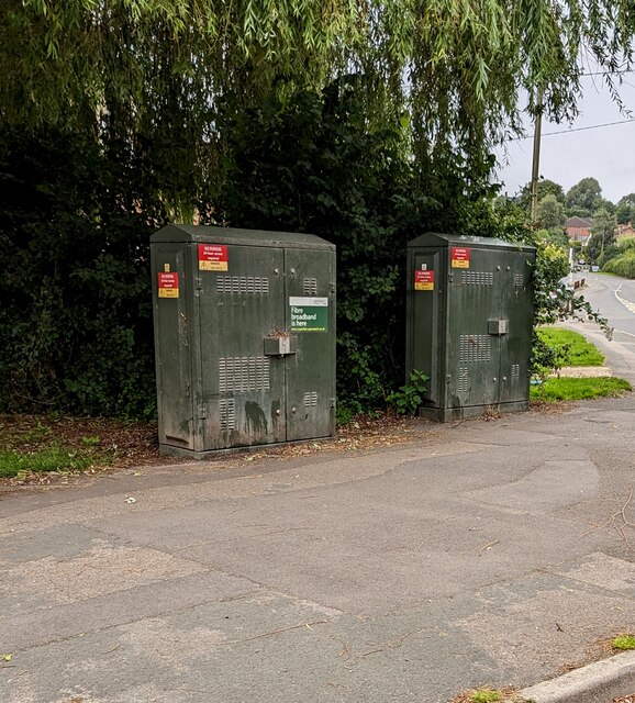
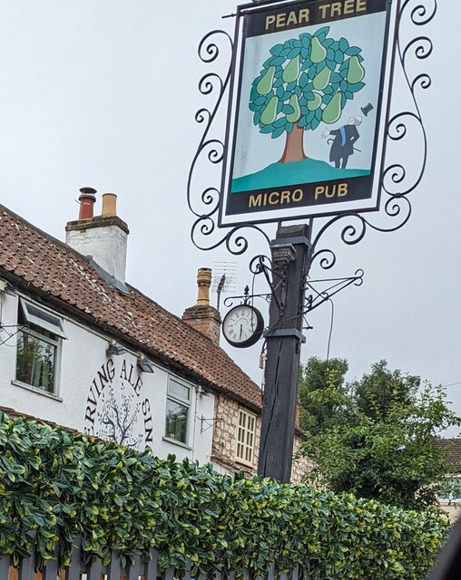
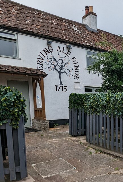
Little Wood Images
Images are sourced within 2km of 51.61735/-2.4204255 or Grid Reference ST7091. Thanks to Geograph Open Source API. All images are credited.


Little Wood is located at Grid Ref: ST7091 (Lat: 51.61735, Lng: -2.4204255)
Unitary Authority: South Gloucestershire
Police Authority: Avon and Somerset
What 3 Words
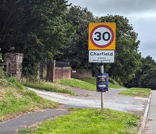
///situation.packages.puffed. Near Charfield, Gloucestershire
Nearby Locations
Related Wikis

Slickstones Quarry, Cromhall
Slickstones Quarry, Cromhall (grid reference ST704916) is a 2.7 hectare geological Site of Special Scientific Interest near the village of Cromhall, South...

Cromhall
Cromhall is a village in South Gloucestershire, England. It is located between Bagstone and Charfield on the B4058, and also borders Leyhill. The parish...

St James' Church, Charfield
St James' Church is a historic Anglican church at Churchend in the village of Charfield, Gloucestershire, England and is under the care of The Churches...

Bibstone
Bibstone is a village in Gloucestershire, England. == External links == Media related to Bibstone at Wikimedia Commons
Charfield
Charfield is a village and civil parish in Gloucestershire, England, south-west of Wotton-under-Edge near the Little Avon River and the villages of Falfield...

HM Prison Leyhill
HM Prison Leyhill is a Category D men's prison located in the parish of Tortworth in Gloucestershire, England. His Majesty's Prison Service operates Leyhill...

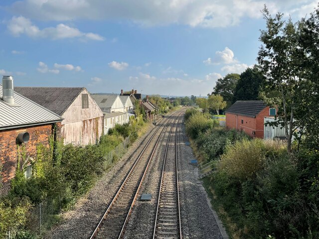
Charfield railway station
Charfield railway station served the village of Charfield in South Gloucestershire, England. The station was on the Bristol and Gloucester Railway, originally...

Charfield railway disaster
The Charfield railway disaster was a fatal train crash which occurred on 13 October 1928 in the village of Charfield in the English county of Gloucestershire...
Nearby Amenities
Located within 500m of 51.61735,-2.4204255Have you been to Little Wood?
Leave your review of Little Wood below (or comments, questions and feedback).