Cole Hill Wood

Wood, Forest in Dorset

England

Cole Hill Wood

Winterborne Came: an autumny view of Came House Looking along the driveway to the house, with leaves all around.
Winterborne Came: an autumny view of Came House Credit: Chris Downer

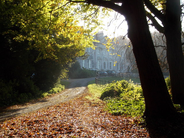
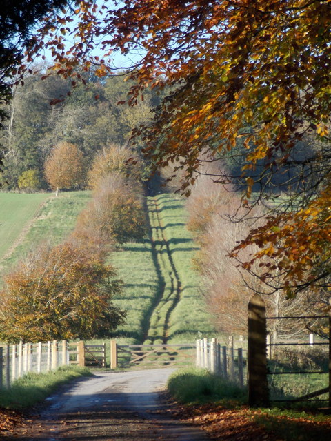
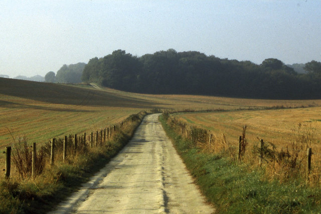
Cole Hill Wood is a beautiful and ancient woodland located in Dorset, England. Covering an area of approximately 100 acres, it is nestled in the heart of the Cranborne Chase Area of Outstanding Natural Beauty. The wood is a mixture of broadleaf trees, predominantly oak and beech, with an understory of hazel and holly.

The woodland has a rich history, dating back several centuries. It was once part of the hunting grounds of the Earl of Shaftesbury and still retains remnants of the old deer park wall. The wood has been managed sustainably for many years, with careful attention given to preserving its biodiversity and natural beauty.

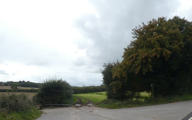
Walking through Cole Hill Wood, visitors are greeted with a peaceful and tranquil environment. The dappled sunlight filters through the dense canopy, creating a magical atmosphere. The woodland floor is carpeted with bluebells in the spring, creating a stunning display of color and fragrance. The wood is also home to a variety of wildlife, including deer, badgers, and numerous bird species.

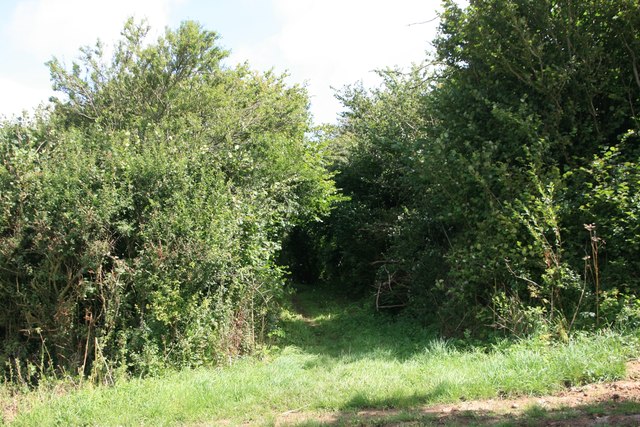
There are several walking trails that wind through the wood, allowing visitors to explore its hidden corners and discover its hidden treasures. These trails are well-maintained and suitable for all levels of fitness. Along the way, there are informative signboards that provide interesting facts about the wood's flora and fauna, as well as its history.

Overall, Cole Hill Wood is a haven for nature lovers and those seeking a peaceful retreat from the hustle and bustle of everyday life. Its enchanting beauty and rich history make it a must-visit destination for anyone exploring Dorset's natural wonders.

If you have any feedback on the listing, please let us know in the comments section below.

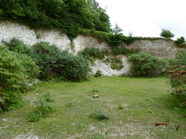
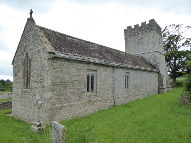
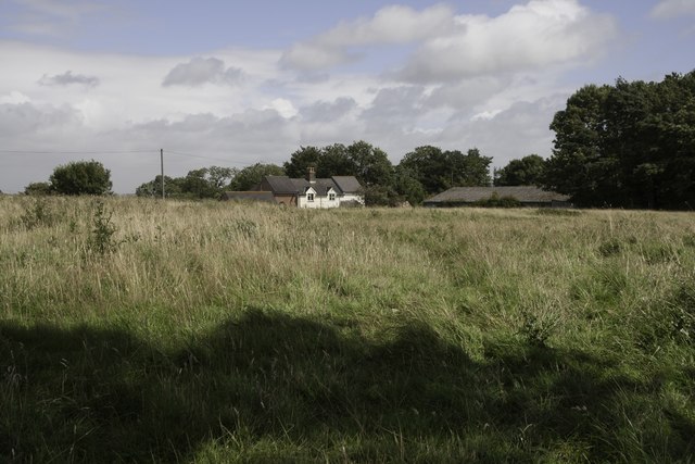
Cole Hill Wood Images

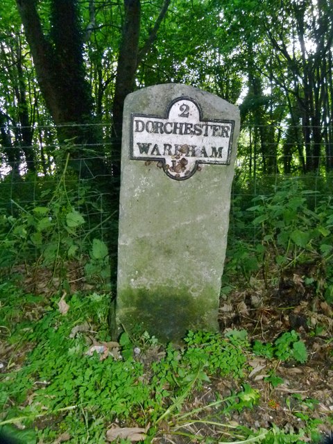
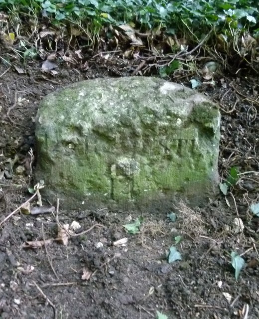
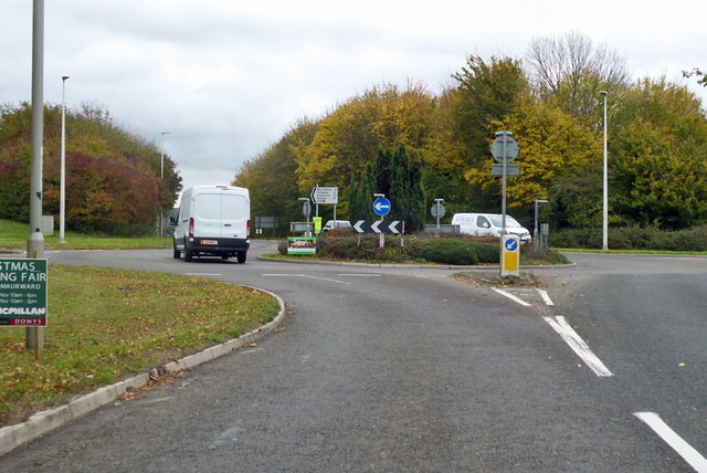
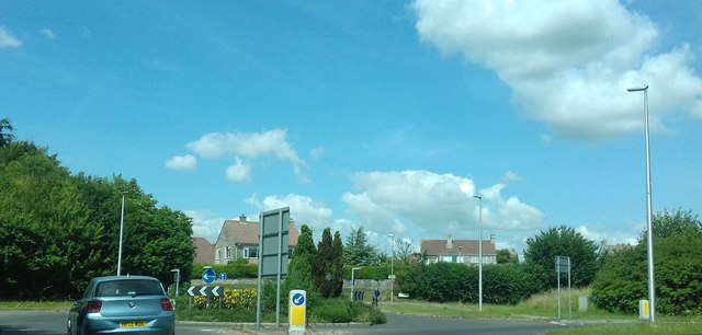
Images are sourced within 2km of 50.690478/-2.4123639 or Grid Reference SY7087. Thanks to Geograph Open Source API. All images are credited.

Winterborne Came: an autumny view of Came House Looking along the driveway to the house, with leaves all around.
Winterborne Came: an autumny view of Came House
Looking along the driveway to the house, with leaves all around.
Winterborne Came: footpath heading north A footpath on a broad track leads northwards from the village; we are looking from just within the gateway of Came Park.
Winterborne Came: footpath heading north
A footpath on a broad track leads northwards from the village; we are looking from just within the gateway of Came Park.
Stafford Farm
Stafford Farm
Whitcombe Church, near Broadmayne, Dorset The church has no dedication but was built in the 12th Century. It is no longer used for regular worship, but several services are held each year in this delightful rural church.
Whitcombe Church, near Broadmayne, Dorset
The church has no dedication but was built in the 12th Century. It is no longer used for regular worship, but several services are held each year in this delightful rural church.
Brick Hill Plantation, Jubilee Trail and Cole Hill Wood
Chalk Pit on Whitcombe Hill
Whitcombe Church
Whitcombe Church
Little Mayne Farm
Little Mayne Farm
Footpath to A352
Footpath to A352
Old Milestone by the A352, Winterborne Came Metal plate attached to stone post by the A352, in parish of Winterborne Came (West Dorset District), South of junction to Winterborne Herringston, 2m back from road on weed covered verge, on East-southeast side of road. Dorset 1 & 4 (iron plated), erected by the Dorchester & Wool Turnpike Trust in the 19th century. 

Inscription reads:-
2
DORCHESTER
WAREHAM
15

Milestone Society National ID: DO_DOWA02.
Old Milestone by the A352, Winterborne Came
Metal plate attached to stone post by the A352, in parish of Winterborne Came (West Dorset District), South of junction to Winterborne Herringston, 2m back from road on weed covered verge, on East-southeast side of road. Dorset 1 & 4 (iron plated), erected by the Dorchester & Wool Turnpike Trust in the 19th century. Inscription reads:- 2 DORCHESTER WAREHAM 15 Milestone Society National ID: DO_DOWA02.
Old Milestone by the A352, West Knighton Carved stone post by the A352, in parish of West Knighton (West Dorset District), just North of turning to West Knighton, on bank next to road approx 10m North of council storage site, on North-East side of road. Dorset 3 (limestone), erected by the Dorchester & Wool Turnpike Trust in the 19th century. 

The partially lost inscription reads:-
DORCHESTER
3
WAREHAM
(14)

Milestone Society National ID: DO_DOWA03.
Old Milestone by the A352, West Knighton
Carved stone post by the A352, in parish of West Knighton (West Dorset District), just North of turning to West Knighton, on bank next to road approx 10m North of council storage site, on North-East side of road. Dorset 3 (limestone), erected by the Dorchester & Wool Turnpike Trust in the 19th century. The partially lost inscription reads:- DORCHESTER 3 WAREHAM (14) Milestone Society National ID: DO_DOWA03.
Roundabout at B3144/A352 junction Looking from the B3144 leaving central Dorchester, with the A352 ahead and with its link to the westbound A35 Dorchester bypass to the right. Left is a housing estate.
Roundabout at B3144/A352 junction
Looking from the B3144 leaving central Dorchester, with the A352 ahead and with its link to the westbound A35 Dorchester bypass to the right. Left is a housing estate.
1967 Morris Minor 1000 Spotted in Dorchester
1967 Morris Minor 1000
Spotted in Dorchester
A352, Dorchester
A352, Dorchester
On the Jubilee Trail south of Winterbourne Came
Bridleway (Jubilee Trail) south-west of West Stafford
Road and cycle path on Frome Hill The cycle path on the right is part of NCN2
Road and cycle path on Frome Hill
The cycle path on the right is part of NCN2
A352 south of Mount Pleasant Approaching the Max Gate roundabout and the Dorchester bypass
A352 south of Mount Pleasant
Approaching the Max Gate roundabout and the Dorchester bypass
Show me another place!

Cole Hill Wood is located at Grid Ref: SY7087 (Lat: 50.690478, Lng: -2.4123639)

Unitary Authority: Dorset

Police Authority: Dorset

What 3 Words

///escalated.gathers.bronzer. Near Dorchester, Dorset

Related Wikis

Winterborne Came

Winterborne Came is a small dispersed settlement and civil parish in the county of Dorset in England, situated in the west of the county, approximately...
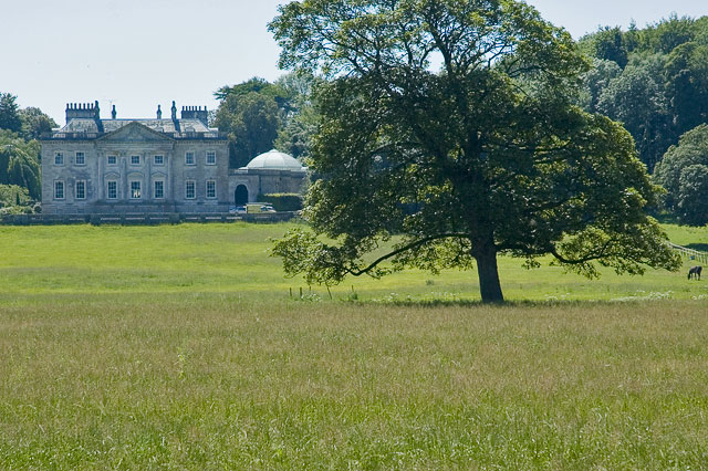
Came House

Came House is a privately owned country house next to the village of Winterborne Came, in Dorset, England. Built in the mid-18th century, it is a Grade...

St Peter's Church, Winterborne Came

St Peter's Church in Winterborne Came, Dorset, England was built in the 14th century. It is recorded in the National Heritage List for England as a designated...

Whitcombe Church

Whitcombe Church in Whitcombe, Dorset, England was built in the 12th century. It is recorded in the National Heritage List for England as a designated...

Whitcombe, Dorset

Whitcombe is a small village and civil parish in the Dorset unitary authority area of Dorset, England, situated 2 miles (3.2 km) southeast of Dorchester...

Winterborne Farringdon

Winterborne Farringdon (or Winterbourne Farringdon) is a deserted village in Dorset, England, 1.5 miles south of Dorchester. Its lands are now incorporated...

Old Came Rectory

Old Came Rectory is a former rectory on the A352 road in Winterborne Came, Dorset, England. It was built in the 19th century for the Reverend William England...

Flagstones Enclosure

Flagstones is a late Neolithic interrupted ditch enclosure (similar to a causewayed enclosure) on the outskirts of Dorchester, Dorset, England. It derives...

Nearby Amenities

Located within 500m of 50.690478,-2.4123639
Material: wood
Power: pole
Source: bing
Lat/Long: 50.6863506/-2.4149745
Material: wood
Power: pole
Source: bing
Lat/Long: 50.6865224/-2.4133505
Material: wood
Power: pole
Source: bing
Lat/Long: 50.6866454/-2.4117223
Material: wood
Power: pole
Source: bing
Lat/Long: 50.6867949/-2.4099655
Material: wood
Power: pole
Source: bing
Lat/Long: 50.6869692/-2.4082584
The data included in this document is from www.openstreetmap.org. The data is made available under ODbL.

Have you been to Cole Hill Wood?

Leave your review of Cole Hill Wood below (or comments, questions and feedback).