Hacking Wood
Wood, Forest in Lancashire Ribble Valley
England
Hacking Wood
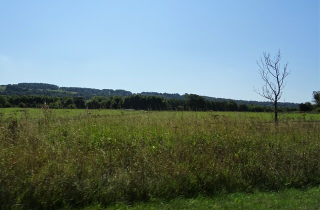
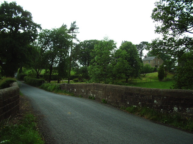
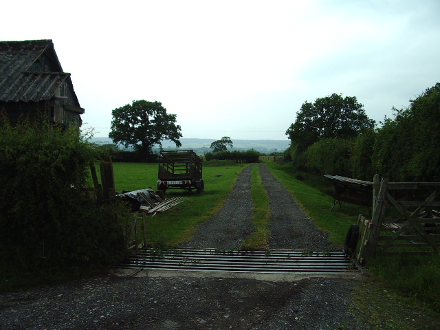
Hacking Wood is a picturesque and serene forest located in the county of Lancashire, England. Covering an area of approximately 100 acres, it is a popular destination for nature lovers and outdoor enthusiasts. The wood is situated in close proximity to the village of Wood, which lends its name to this delightful natural haven.
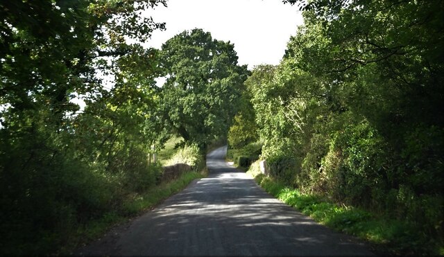
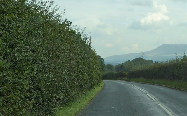
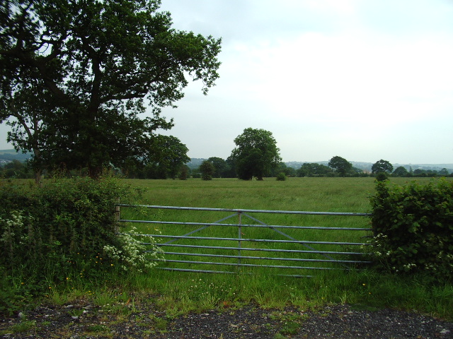
Hacking Wood is characterized by its dense and diverse woodland, encompassing a wide variety of tree species. Towering oak, beech, and birch trees dominate the landscape, providing a stunning canopy that offers shade and shelter to a multitude of flora and fauna. The forest floor is adorned with a carpet of vibrant wildflowers, creating a colorful and enchanting display during the spring and summer months.
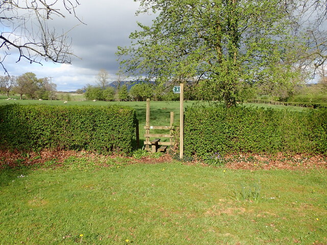
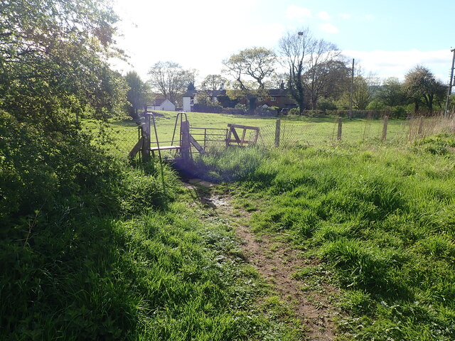
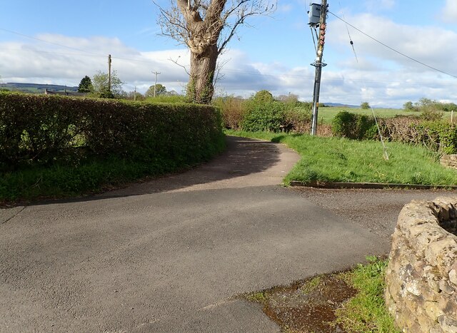
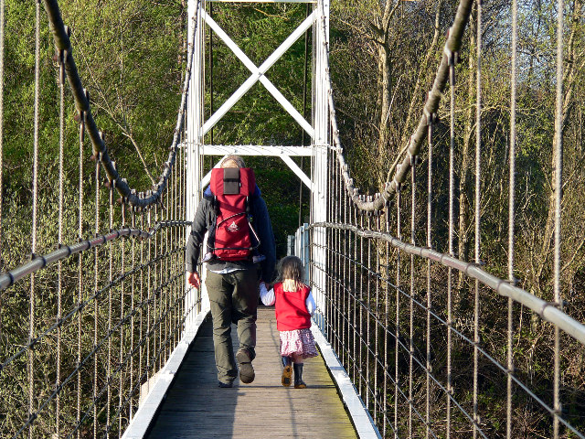
The wood is crisscrossed by a network of well-maintained walking trails, allowing visitors to explore and immerse themselves in the tranquility of this ancient forest. These paths meander through the lush greenery, offering glimpses of the local wildlife, including deer, foxes, and an array of bird species.
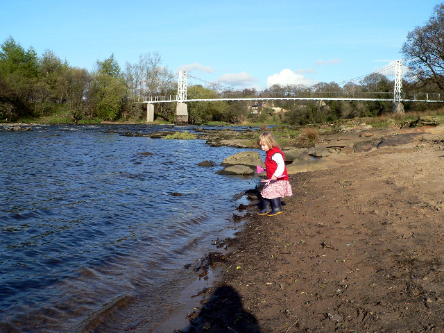
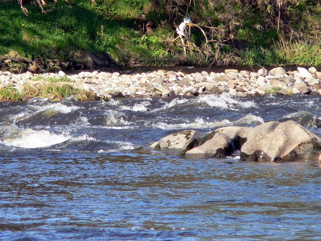
Hacking Wood is also home to a small river that gently flows through its heart, adding to the overall charm and natural beauty of the area. The river serves as a habitat for various aquatic creatures and provides a serene backdrop for visitors to relax and enjoy the peaceful surroundings.
With its idyllic setting and abundant natural beauty, Hacking Wood offers a peaceful retreat for those seeking to escape the hustle and bustle of everyday life. Whether one wishes to take a leisurely stroll, observe wildlife, or simply bask in the serenity of nature, this enchanting forest is a must-visit destination in Lancashire.
If you have any feedback on the listing, please let us know in the comments section below.
Hacking Wood Images
Images are sourced within 2km of 53.827571/-2.4484463 or Grid Reference SD7036. Thanks to Geograph Open Source API. All images are credited.


Hacking Wood is located at Grid Ref: SD7036 (Lat: 53.827571, Lng: -2.4484463)
Administrative County: Lancashire
District: Ribble Valley
Police Authority: Lancashire
What 3 Words
///animate.resonates.music. Near Billington, Lancashire
Nearby Locations
Related Wikis

Hacking Hall
Hacking Hall is a Grade I listed, early-17th-century house situated at the confluence of the rivers Calder and Ribble in Lancashire, England. It is thought...

The Old Zoo
The Old Zoo is a modern country house in Brockhall Village, Lancashire, England, 6 miles (10 km) south-west of Clitheroe. It was finished in 2000 on the...

Brockhall Village
Brockhall Village is a gated community in the Ribble Valley, Lancashire, England. The village is in the civil parish of Billington and Langho and is 7...

Old St Leonard's Church, Langho
Old St Leonard's Church is a redundant Anglican church 1 mile (1.6 km) northwest of the village of Langho, Lancashire, England. It is recorded in the...

Dinckley Brook
Dinckley Brook is a minor river of Lancashire, England. The stream rises at the confluence of several minor watercourses at Wheatley Farm close to Copster...

Calderstones Hospital
Calderstones Hospital is a mental health facility near to Whalley, Lancashire, England. It is managed by Mersey Care NHS Foundation Trust. == History... ==

St Augustine's Roman Catholic High School, Billington
St Augustine's RC High School is a coeducational Roman Catholic secondary school located in Billington, Lancashire, England. == History == The school opened...

Dinckley
Dinckley is a small village and civil parish located in the Ribble Valley, in Lancashire, England. Owing to the limited extent of the population details...
Nearby Amenities
Located within 500m of 53.827571,-2.4484463Have you been to Hacking Wood?
Leave your review of Hacking Wood below (or comments, questions and feedback).