Winyard Wood

Wood, Forest in Gloucestershire Forest of Dean

England

Winyard Wood

Barn in Home Farm, Flaxley This barn, possibly a former tithe barn, is now unused, although the field surrounding it is now used for cattle.
Barn in Home Farm, Flaxley Credit: Pebble

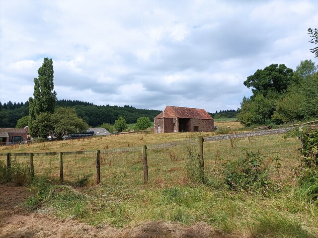
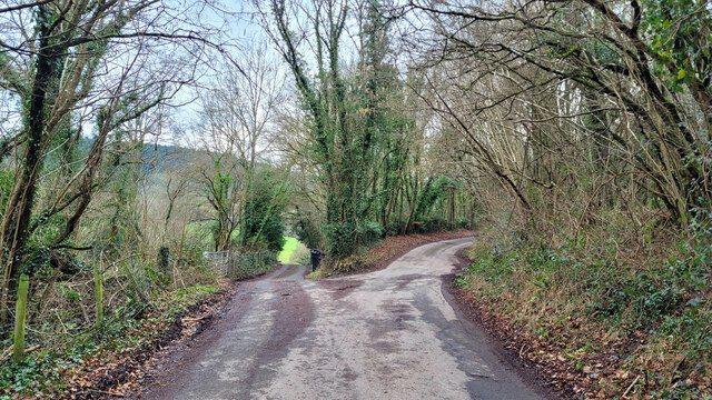
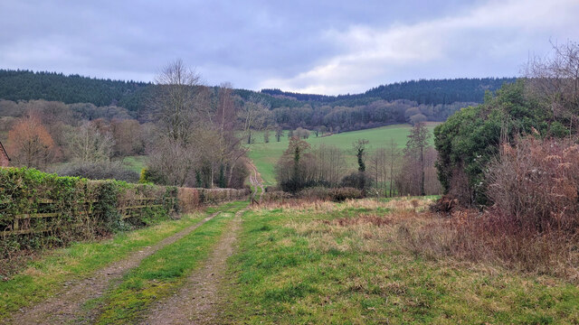
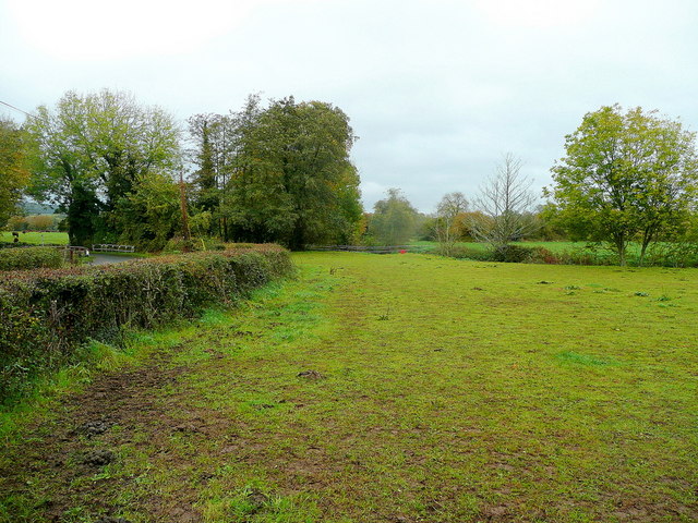
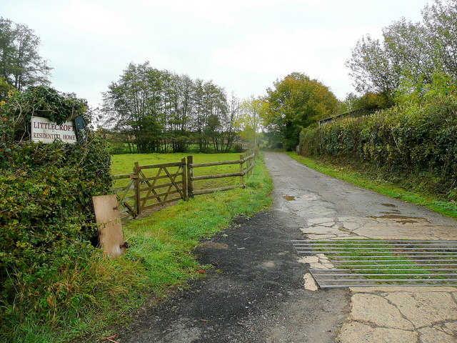
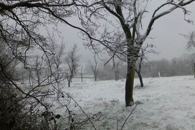
Winyard Wood is a picturesque forest located in Gloucestershire, England. Covering an area of approximately 100 acres, this woodland is known for its natural beauty and diverse wildlife. The wood is situated near the village of Winyard's Gap and can be accessed via well-maintained footpaths.

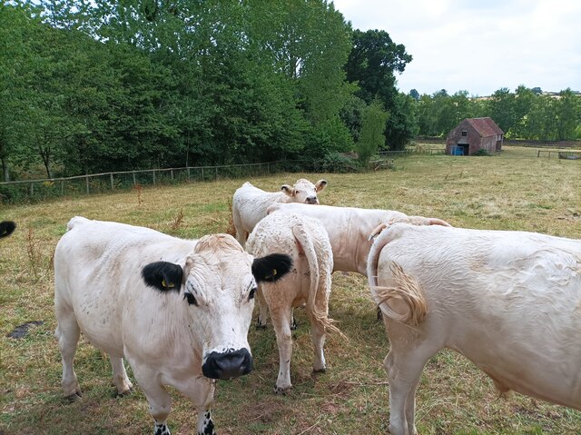
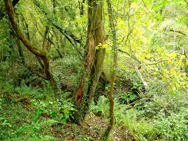
The wood is predominantly composed of broadleaf trees, including oak, ash, beech, and birch, creating a rich and varied canopy. This variety of trees provides a habitat for a wide range of wildlife, making Winyard Wood a popular spot for nature enthusiasts and birdwatchers. Visitors may spot species such as woodpeckers, buzzards, and owls, as well as smaller mammals like foxes, badgers, and rabbits.

The forest floor is covered with a carpet of ferns, bluebells, and wildflowers during the spring and summer months, adding to the wood's enchanting atmosphere. The woodland is also home to a small stream, which adds to the tranquility of the surroundings.

Winyard Wood offers several well-marked walking trails for visitors to explore, ranging from easy strolls to longer hikes. These trails provide an opportunity to immerse oneself in the peaceful ambiance of the forest while enjoying the sights and sounds of nature.

Overall, Winyard Wood in Gloucestershire is a charming and idyllic woodland, offering a peaceful retreat for those seeking a connection with nature. Its diverse ecosystem and well-maintained paths make it a popular destination for both locals and tourists alike.

If you have any feedback on the listing, please let us know in the comments section below.
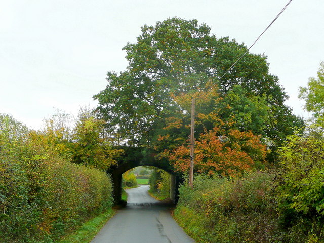
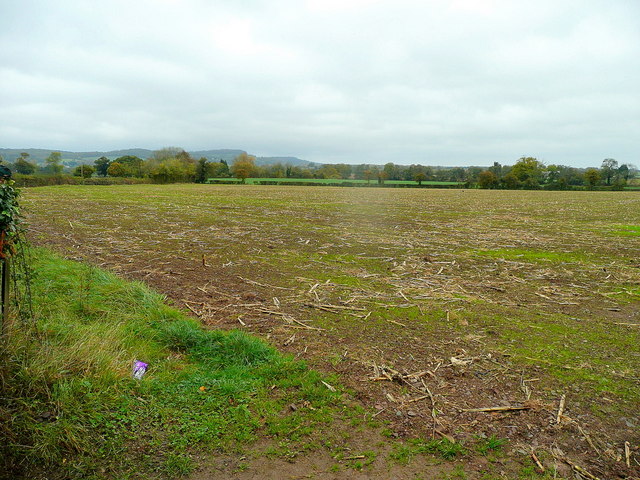
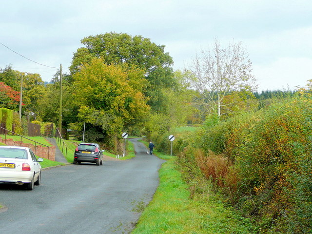
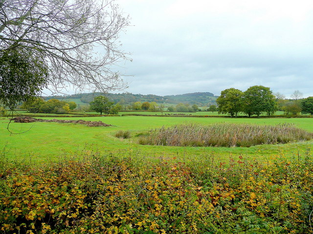
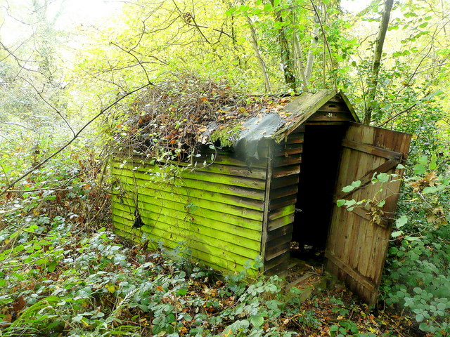
Winyard Wood Images

Images are sourced within 2km of 51.843673/-2.4284543 or Grid Reference SO7016. Thanks to Geograph Open Source API. All images are credited.

Barn in Home Farm, Flaxley This barn, possibly a former tithe barn, is now unused, although the field surrounding it is now used for cattle.
Barn in Home Farm, Flaxley
This barn, possibly a former tithe barn, is now unused, although the field surrounding it is now used for cattle.
White Park cattle The White Park cattle of Home Farm, Flaxley, with a possible former tithe barn in the background.
White Park cattle
The White Park cattle of Home Farm, Flaxley, with a possible former tithe barn in the background.
Yard in Home Farm, Flaxley Yard and barns used for storage.
Yard in Home Farm, Flaxley
Yard and barns used for storage.
Vineyard in Home Farm, Flaxley The most southerly of 3 vineyards owned by Kingsthorne on Home Farm. This vineyard contains Chardonnay only.
Vineyard in Home Farm, Flaxley
The most southerly of 3 vineyards owned by Kingsthorne on Home Farm. This vineyard contains Chardonnay only.
Fork in the road Velthouse Lane to the right and keep going for Longhope.
Fork in the road
Velthouse Lane to the right and keep going for Longhope.
Track towards Hope Wood The shallow Hope Valley in between the camera and the wooded hills beyond.
Track towards Hope Wood
The shallow Hope Valley in between the camera and the wooded hills beyond.
Pasture land at Boseley Looking across meadows by the Westbury Brook.
Pasture land at Boseley
Looking across meadows by the Westbury Brook.
Drive and footpath Accessing Little Croft Residential Home and Longcroft Farm.
Drive and footpath
Accessing Little Croft Residential Home and Longcroft Farm.
Railway bridge over the Blaisdon Road Heading south towards Westbury.
Railway bridge over the Blaisdon Road
Heading south towards Westbury.
Field with crop residue Vestiges of a crop of field maize with a new cereal crop coming through.
Field with crop residue
Vestiges of a crop of field maize with a new cereal crop coming through.
Lane north from Northwood Green A gentleman out walking his dog on a November morning.
Lane north from Northwood Green
A gentleman out walking his dog on a November morning.
Lane by Wintle's Farm Looking west towards Poulton Court.
Lane by Wintle's Farm
Looking west towards Poulton Court.
Farmland scene This view north-west towards the hills beyond Blaisdon contains several interesting elements.
There is a pond with bulrushes, some unspread manure, a herd of beef cattle in the middle distance and a fine ball of mistletoe on the tree on the left.
The woodland to the right is Ley Park.
Farmland scene
This view north-west towards the hills beyond Blaisdon contains several interesting elements. There is a pond with bulrushes, some unspread manure, a herd of beef cattle in the middle distance and a fine ball of mistletoe on the tree on the left. The woodland to the right is Ley Park.
Within Poulton Wood A nature reserve under the auspices of Gloucestershire Wildlife Trust.
See <span class="nowrap"><a title="http://www.gloucestershirewildlifetrust.co.uk/gwt/gwt.nsf/WEBARTICLE?OpenForm&id=42F63FF90EBC638F8025763A003A3CAE" rel="nofollow ugc noopener" href="http://www.gloucestershirewildlifetrust.co.uk/gwt/gwt.nsf/WEBARTICLE?OpenForm&id=42F63FF90EBC638F8025763A003A3CAE">Link</a><img style="margin-left:2px;" alt="External link" title="External link - shift click to open in new window" src="https://s1.geograph.org.uk/img/external.png" width="10" height="10"/></span>
Within Poulton Wood
A nature reserve under the auspices of Gloucestershire Wildlife Trust. See LinkExternal link
Hut in the wood Hidden within Poulton Wood this dilapidated building is numbered 38!
Hut in the wood
Hidden within Poulton Wood this dilapidated building is numbered 38!
A48 passes under railway near Westbury-on-Severn
Ley Park On a snowy late March morning.
Ley Park
On a snowy late March morning.
Abandoned orchard near Little London
Show me another place!

Winyard Wood is located at Grid Ref: SO7016 (Lat: 51.843673, Lng: -2.4284543)

Administrative County: Gloucestershire

District: Forest of Dean

Police Authority: Gloucestershire

What 3 Words

///liquid.patting.dramatic. Near Longhope, Gloucestershire

Nearby Locations

Winyard Wood

Related Wikis

Blaisdon Halt railway station

Blaisdon railway station is a disused stone built railway station that served the village of Blaisdon in Gloucestershire and was the first stop on the...

Blaisdon

Blaisdon is a village and civil parish in the Forest of Dean of Gloucestershire, England, about ten miles west of Gloucester. Its population in 2005 was...

Blaisdon Hall

Blaisdon Hall (grid reference SO698170) is a Grade II* listed building at Blaisdon. It includes a 0.07-hectare (0.17-acre) biological Site of Special Scientific...

Wood Green Quarry & Railway Cutting

Wood Green Quarry & Railway Cutting (grid reference SO694166) is a 0.3-hectare (0.74-acre) geological Site of Special Scientific Interest in Gloucestershire...

Nearby Amenities

Located within 500m of 51.843673,-2.4284543
Boseley Halt
Historic Railway: station
Railway: site
Lat/Long: 51.8431882/-2.4324978
Bus Stop
Monk Hill Farm
Naptan AtcoCode: 1600GL3317
Naptan Bearing: W
Naptan CommonName: Monk Hill Farm
Naptan Indicator: Opp
Naptan NaptanCode: gloamjgm
Naptan Street: Flaxley Rd
Naptan Verified: no
Source: naptan_import
Lat/Long: 51.8414283/-2.4333691
Bus Stop
Monk Hill Farm
Naptan AtcoCode: 1600GL3318
Naptan Bearing: E
Naptan CommonName: Monk Hill Farm
Naptan NaptanCode: gloamjdw
Naptan Street: Flaxley Rd
Naptan Verified: no
Source: naptan_import
Lat/Long: 51.8414812/-2.4336309
Post Box
Brand: Royal Mail
Brand Wikidata: Q638098
Mapillary: 1280101459051749
Operator: Royal Mail
Operator Wikidata: Q638098
Post Box Mounting: pier
Post Box Type: lamp
Ref: GL14 275
Survey Date: 2020-07-11
Lat/Long: 51.8395295/-2.4282713
The data included in this document is from www.openstreetmap.org. The data is made available under ODbL.

Have you been to Winyard Wood?

Leave your review of Winyard Wood below (or comments, questions and feedback).