Crow Wood
Wood, Forest in Lancashire Ribble Valley
England
Crow Wood
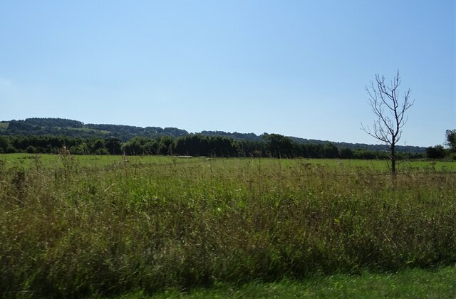
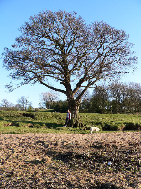
Crow Wood is a picturesque woodland area located in Lancashire, England. Covering an area of approximately 200 acres, it is a haven for nature enthusiasts and outdoor adventurers alike. The wood is predominantly composed of oak, birch, and beech trees, creating a dense and lush forest environment.
The wood is home to a diverse range of flora and fauna, including various species of birds, mammals, and insects. Visitors may spot woodland creatures such as deer, foxes, and squirrels, as well as a variety of bird species including owls, woodpeckers, and songbirds. The vibrant ecosystem of Crow Wood makes it an ideal spot for birdwatching and wildlife photography.
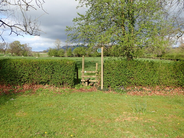
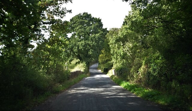
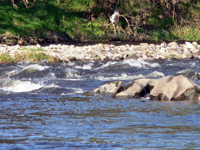
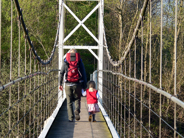
The woodland is crisscrossed with well-maintained walking trails, allowing visitors to explore its natural beauty at their own pace. These trails wind through the forest, offering stunning views of ancient trees, wildflowers, and babbling brooks. There are also designated picnic areas and benches scattered throughout the wood, providing visitors with the opportunity to relax and enjoy the peaceful surroundings.
Additionally, Crow Wood offers a range of outdoor activities for visitors of all ages. These include orienteering, mountain biking, and horseback riding trails. The wood also hosts educational programs and guided nature walks, providing visitors with the chance to learn more about the local flora and fauna.
Overall, Crow Wood is a captivating and enchanting woodland in Lancashire, offering a tranquil escape from the hustle and bustle of everyday life. With its rich biodiversity and recreational opportunities, it is a must-visit destination for nature lovers and outdoor enthusiasts.
If you have any feedback on the listing, please let us know in the comments section below.
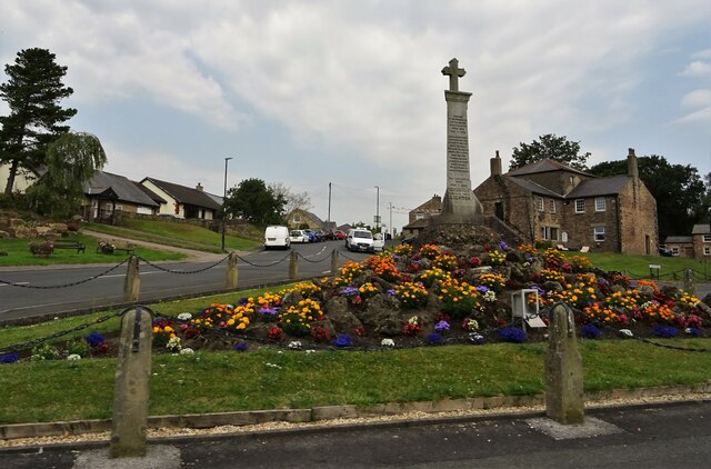
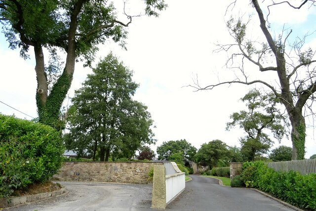
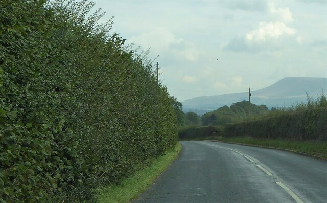
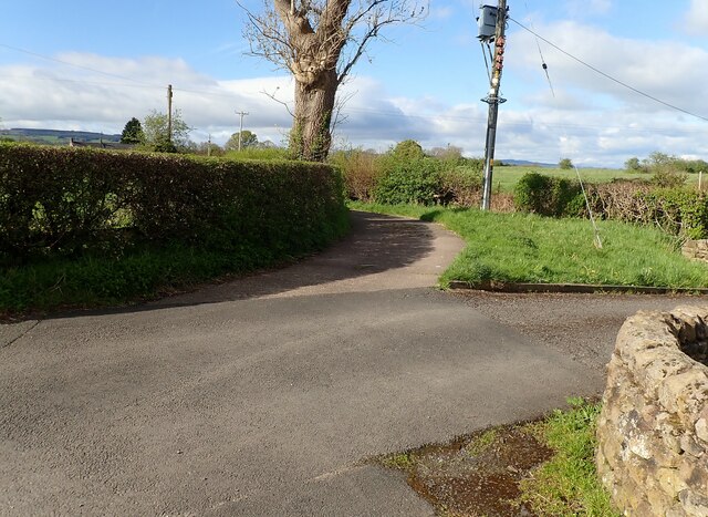
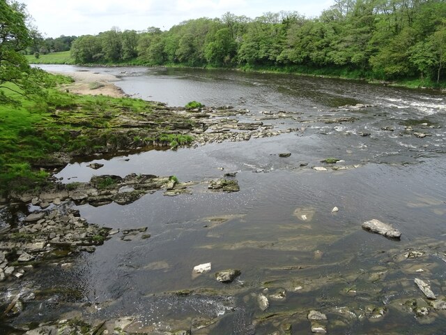
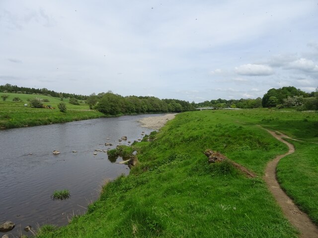
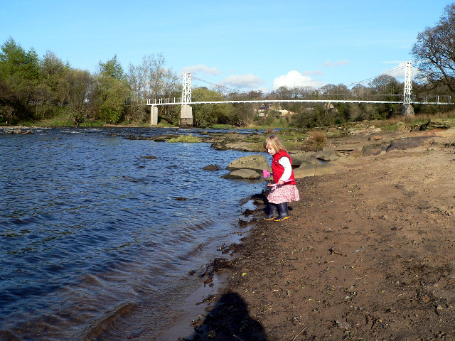
Crow Wood Images
Images are sourced within 2km of 53.82696/-2.455489 or Grid Reference SD7036. Thanks to Geograph Open Source API. All images are credited.


Crow Wood is located at Grid Ref: SD7036 (Lat: 53.82696, Lng: -2.455489)
Administrative County: Lancashire
District: Ribble Valley
Police Authority: Lancashire
What 3 Words
///lotteries.aware.shipped. Near Billington, Lancashire
Nearby Locations
Related Wikis

The Old Zoo
The Old Zoo is a modern country house in Brockhall Village, Lancashire, England, 6 miles (10 km) south-west of Clitheroe. It was finished in 2000 on the...

Brockhall Village
Brockhall Village is a gated community in the Ribble Valley, Lancashire, England. The village is in the civil parish of Billington and Langho and is 7...

Hacking Hall
Hacking Hall is a Grade I listed, early-17th-century house situated at the confluence of the rivers Calder and Ribble in Lancashire, England. It is thought...

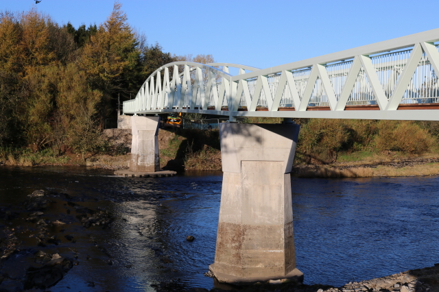
Dinckley Brook
Dinckley Brook is a minor river of Lancashire, England. The stream rises at the confluence of several minor watercourses at Wheatley Farm close to Copster...

Old St Leonard's Church, Langho
Old St Leonard's Church is a redundant Anglican church 1 mile (1.6 km) northwest of the village of Langho, Lancashire, England. It is recorded in the...

Dinckley
Dinckley is a small village and civil parish located in the Ribble Valley, in Lancashire, England. Owing to the limited extent of the population details...

Hurst Green, Lancashire
Hurst Green is a small village in the Ribble Valley district of Lancashire, England, connected in its history to the Jesuit school, Stonyhurst College...

Northcote, Langho
Northcote is a hotel and restaurant in a 19th-century manor house in Langho, Lancashire, England. The restaurant has held a Michelin star since the 1996...
Related Videos

Walking 1450 km alone through Great Britain - Part 1 : South West England.
A walk in England across the Dartmoor national park and Exmoor national park, mostly along the Two moors way (plus a small ...

Walking the Pennine Way | July 2020 | Part 2: Middleton-in-Teesdale to Kirk Yetholm
It's been a while but here it finally is: the second part of the Pennine Way! During the last four days, my brother walked with me :) I ...

Walk 2 - Walking StonyHurst College via Dean Brook in Clitheroe - Footsteps of Tolkien all in 4K
This walk starts in the village of Hurst Green where you enter the first field via the road named "Smithy Row" with you entering the ...

Tolkien Trail Circular Hike | Lancashire Walk
Today, me and my family explore the Tolkien Trail in Lancashire. People come from all over the world to walk the famous Tolkien ...
Nearby Amenities
Located within 500m of 53.82696,-2.455489Have you been to Crow Wood?
Leave your review of Crow Wood below (or comments, questions and feedback).