Brockhall Village

Settlement in Lancashire Ribble Valley

England

Brockhall Village

Petre Petrol Station and Garage Petrol Station, Car Wash and Garage
Petre Petrol Station and Garage Credit: Richard Cook

Brockhall Village is a small residential area located in the county of Lancashire in North West England. Situated near the town of Blackburn, it is nestled in the picturesque Ribble Valley and is surrounded by beautiful countryside.

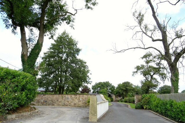
Originally a Georgian mansion, Brockhall Village was converted into a residential development in the early 1990s. It offers a mix of luxurious houses, apartments, and cottages, catering to a range of residents' needs. The properties are known for their high quality and contemporary design, often featuring spacious gardens and stunning views of the surrounding landscapes.

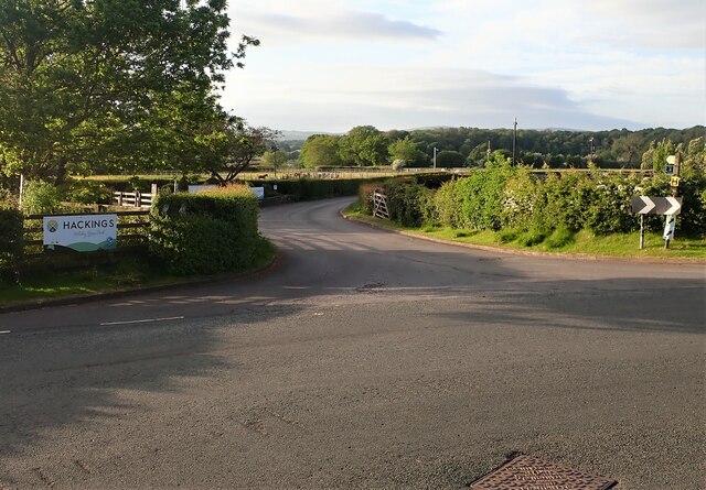
The village boasts excellent transport links, with easy access to major roads such as the M6 and M65, making it an ideal location for commuters. The nearby town of Blackburn provides a wide range of amenities, including shopping centers, restaurants, and leisure facilities. The village is also within close proximity to several reputable schools and healthcare facilities.

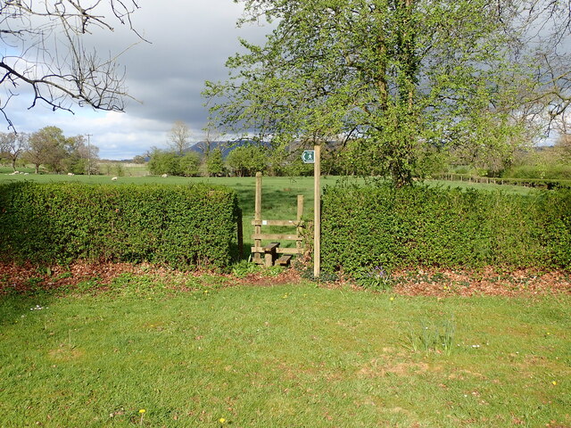
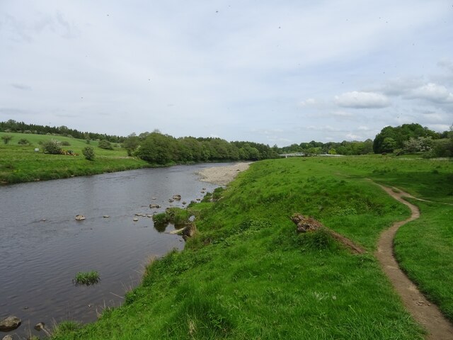
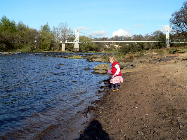
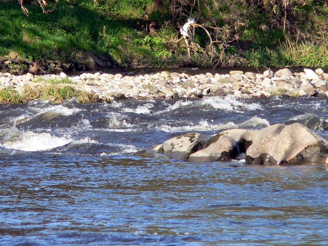
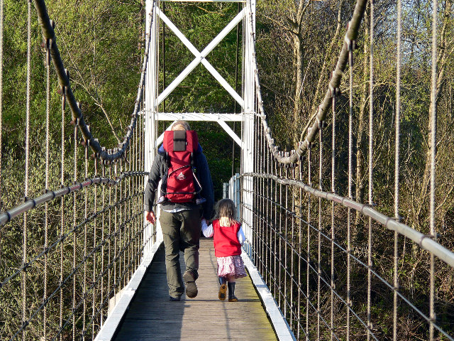
Residents of Brockhall Village can enjoy a peaceful and tranquil lifestyle, with ample opportunities for outdoor activities such as walking, cycling, and horse riding. The area is known for its natural beauty, with a number of parks, woodlands, and rivers nearby. Additionally, the village is home to the Brockhall Village Golf Course, which attracts both locals and visitors.

Overall, Brockhall Village offers a unique and desirable living environment, combining the charm of the countryside with modern amenities and conveniences. It is an idyllic place to reside, providing a high standard of living for its residents.

If you have any feedback on the listing, please let us know in the comments section below.

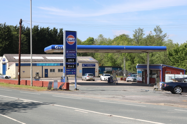
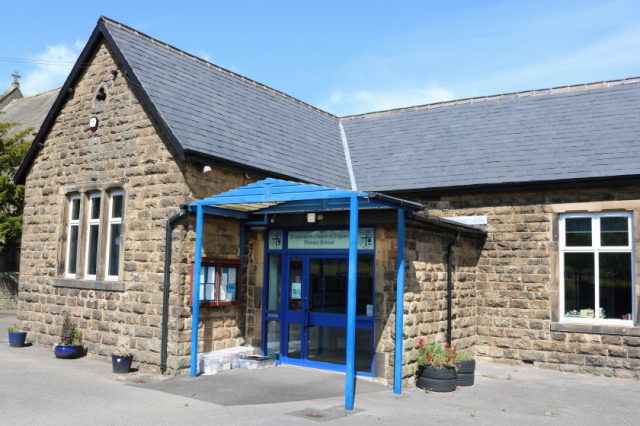
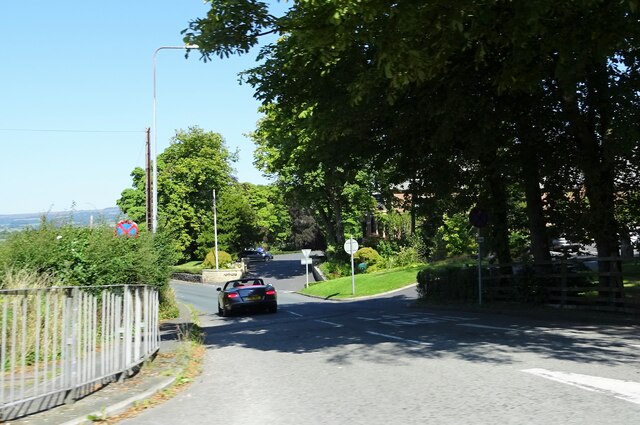
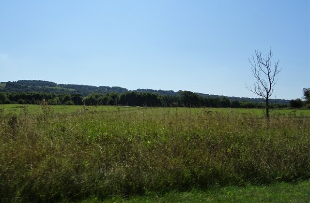
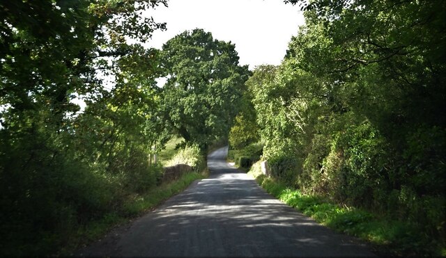
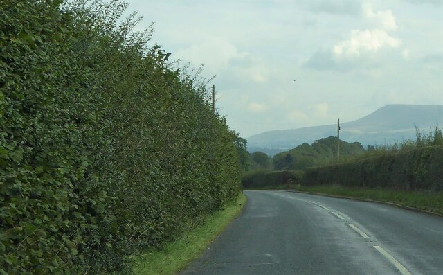
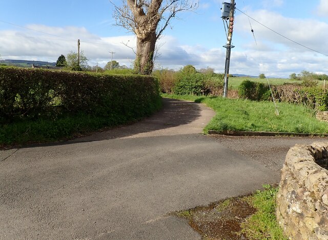
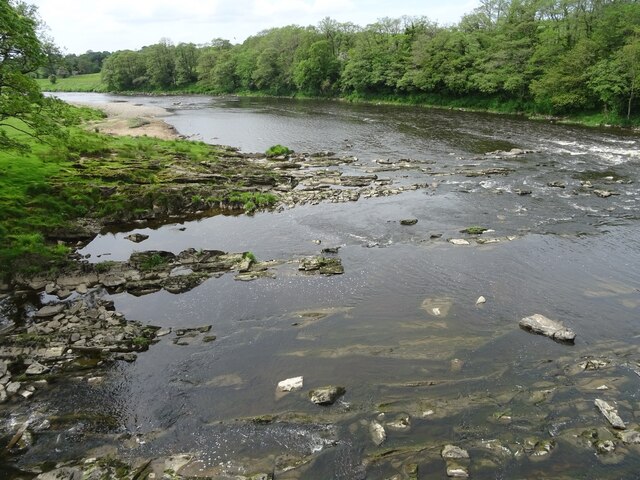
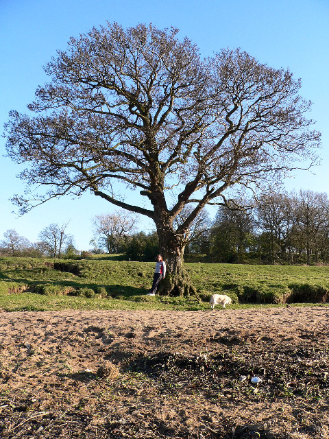
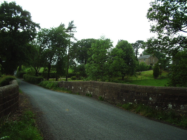
Brockhall Village Images

Images are sourced within 2km of 53.824945/-2.4534163 or Grid Reference SD7036. Thanks to Geograph Open Source API. All images are credited.

Petre Petrol Station and Garage Petrol Station, Car Wash and Garage
Petre Petrol Station and Garage
Petrol Station, Car Wash and Garage
St Leonard's C of E Primary School Main entrance - original building
St Leonard's C of E Primary School
Main entrance - original building
Northcote Road At its junction with the A59.
Northcote Road
At its junction with the A59.
Farmland off the A59 Near Billington.
Farmland off the A59
Near Billington.
Footpath from Larkhill Cottages The stile for the footpath at Larkhill Cottages leading across the fields towards Hacking Hall.
Footpath from Larkhill Cottages
The stile for the footpath at Larkhill Cottages leading across the fields towards Hacking Hall.
Entrance Hackings Holiday Park The entrance for Hackings Holiday Home Park at the junction of Old Langho Road and Pashmire Brow.
Entrance Hackings Holiday Park
The entrance for Hackings Holiday Home Park at the junction of Old Langho Road and Pashmire Brow.
'New' Dinckley Footbridge over River Ribble Replacement footbridge over River Ribble at Dinckley replacing the one that was badly damaged in the Boxing Day floods of 2015
'New' Dinckley Footbridge over River Ribble
Replacement footbridge over River Ribble at Dinckley replacing the one that was badly damaged in the Boxing Day floods of 2015
Entrance to Almond's Fold On Ribchester Road near Dinckley.
Entrance to Almond's Fold
On Ribchester Road near Dinckley.
Dinckley Bridge Carrying Ribchester Road over Dinckley Brook.
Dinckley Bridge
Carrying Ribchester Road over Dinckley Brook.
Whalley Road To the east of Hurst Green. Pendle Hill is on the skyline.
Whalley Road
To the east of Hurst Green. Pendle Hill is on the skyline.
Bend in Moorgate Lane The lane bends off to the left at this point and becomes a very narrow single track road leading off towards Craven Fold Farm.
Bend in Moorgate Lane
The lane bends off to the left at this point and becomes a very narrow single track road leading off towards Craven Fold Farm.
Looking downstream from the footbridge near Dinckley Hall A very rocky part of the Ribble just west of the footbridge over the river near Dinckley Hall. The footbridge itself is a replacement for the old "Trower's Ferry," which crossed the river just to the east.
Looking downstream from the footbridge near Dinckley Hall
A very rocky part of the Ribble just west of the footbridge over the river near Dinckley Hall. The footbridge itself is a replacement for the old "Trower's Ferry," which crossed the river just to the east.
Path by the River Ribble, Dinckley The path on the south side of the River Ribble, connecting the bridge near Dinckley Hall (visible in the background of this image) with Marles Wood and Ribchester Road.
Path by the River Ribble, Dinckley
The path on the south side of the River Ribble, connecting the bridge near Dinckley Hall (visible in the background of this image) with Marles Wood and Ribchester Road.
Dinkley Footbridge Dinkley suspension bridge crosses the River Ribble.
Dinkley Footbridge
Dinkley suspension bridge crosses the River Ribble.
River Ribble River Ribble just below Dinkley footbridge.
River Ribble
River Ribble just below Dinkley footbridge.
Dinkley Footbridge Crossing the River Ribble
Dinkley Footbridge
Crossing the River Ribble
Dinkley On the banks of the River Ribble below Dinkley footbridge.
Dinkley
On the banks of the River Ribble below Dinkley footbridge.
Dinckley Bridge This bridge carries the C class road over Park BROOK
Dinckley Bridge
This bridge carries the C class road over Park BROOK
Show me another place!

Brockhall Village is located at Grid Ref: SD7036 (Lat: 53.824945, Lng: -2.4534163)

Administrative County: Lancashire

District: Ribble Valley

Police Authority: Lancashire

What 3 Words

///dips.steady.waltzes. Near Billington, Lancashire

Related Wikis

Brockhall Village

Brockhall Village is a gated community in the Ribble Valley, Lancashire, England. The village is in the civil parish of Billington and Langho and is 7...

The Old Zoo

The Old Zoo is a modern country house in Brockhall Village, Lancashire, England, 6 miles (10 km) south-west of Clitheroe. It was finished in 2000 on the...

Hacking Hall

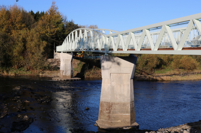
Hacking Hall is a Grade I listed, early-17th-century house situated at the confluence of the rivers Calder and Ribble in Lancashire, England. It is thought...

Old St Leonard's Church, Langho

Old St Leonard's Church is a redundant Anglican church 1 mile (1.6 km) northwest of the village of Langho, Lancashire, England. It is recorded in the...

Dinckley Brook

Dinckley Brook is a minor river of Lancashire, England. The stream rises at the confluence of several minor watercourses at Wheatley Farm close to Copster...

Dinckley

Dinckley is a small village and civil parish located in the Ribble Valley, in Lancashire, England. Owing to the limited extent of the population details...

Northcote, Langho

Northcote is a hotel and restaurant in a 19th-century manor house in Langho, Lancashire, England. The restaurant has held a Michelin star since the 1996...

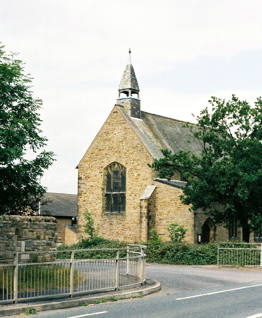
New St Leonard's Church, Langho

New St Leonard's Church is in Whalley New Road, between the villages of Langho and Billington in Lancashire, England. It is an active Anglican parish...

Nearby Amenities

Located within 500m of 53.824945,-2.4534163
Brockhall Village
Place: village
Source: npe
Source Name: local knowledge
Wikidata: Q4806834
Wikipedia: en:Brockhall Village
Lat/Long: 53.8241139/-2.4564427
Bus Stop
Bus: yes
Naptan AtcoCode: 250020323
Naptan NaptanCode: lanawapj
Public Transport: platform
Lat/Long: 53.822851/-2.45256
Mini Roundabout
Direction: clockwise
Lat/Long: 53.8241252/-2.4530803
Power: pole
Lat/Long: 53.8237932/-2.4494294
Power: pole
Lat/Long: 53.8237817/-2.4480484
The data included in this document is from www.openstreetmap.org. The data is made available under ODbL.

Have you been to Brockhall Village?

Leave your review of Brockhall Village below (or comments, questions and feedback).