Kirkside Wood
Wood, Forest in Northumberland
England
Kirkside Wood
The requested URL returned error: 429 Too Many Requests
If you have any feedback on the listing, please let us know in the comments section below.
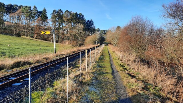
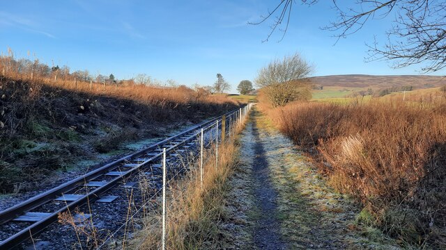
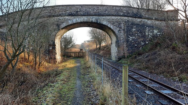
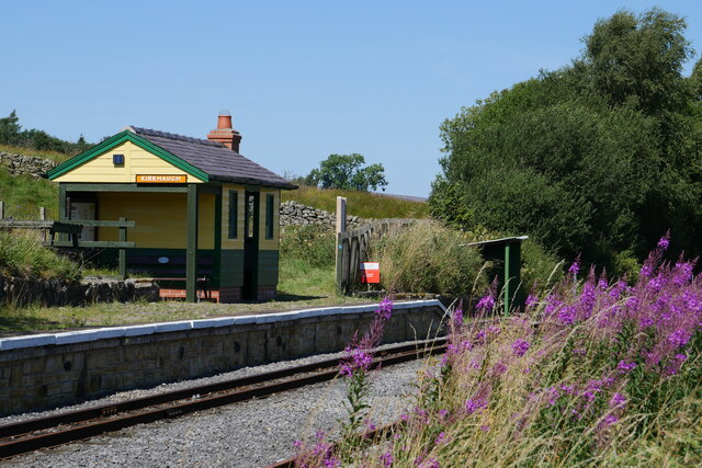
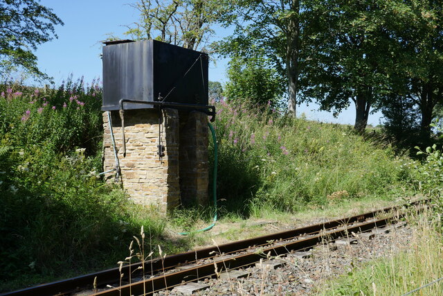
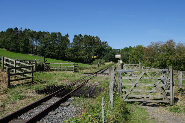
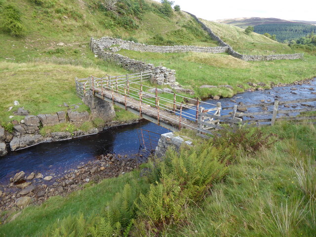
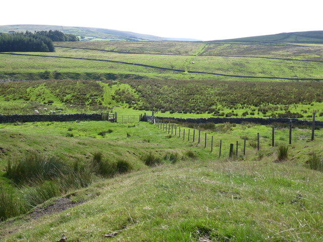
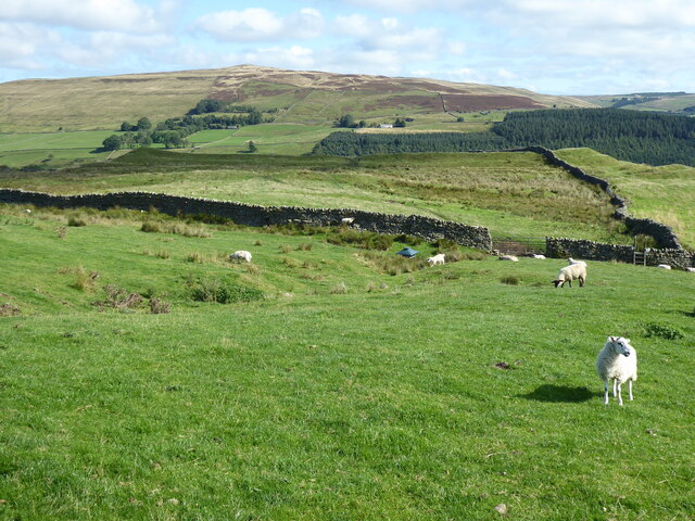
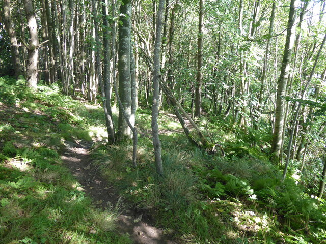
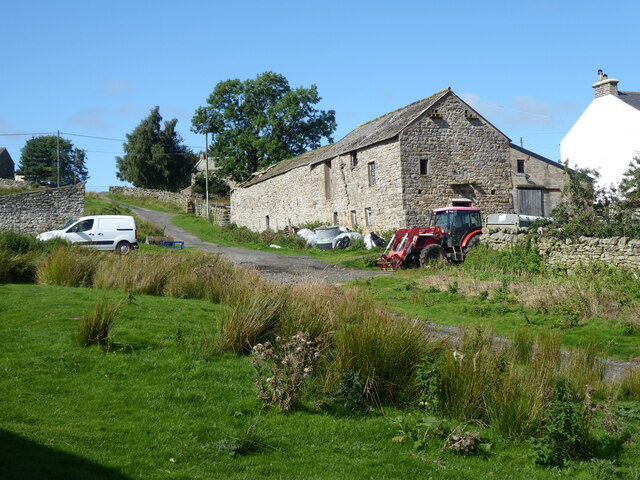
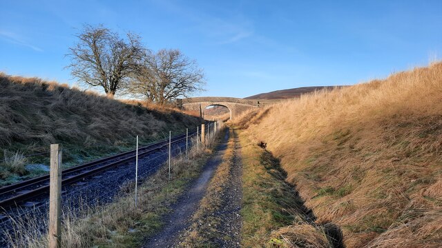
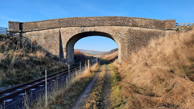
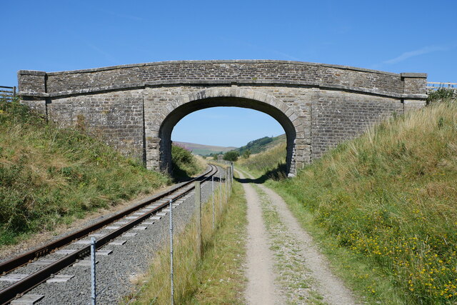
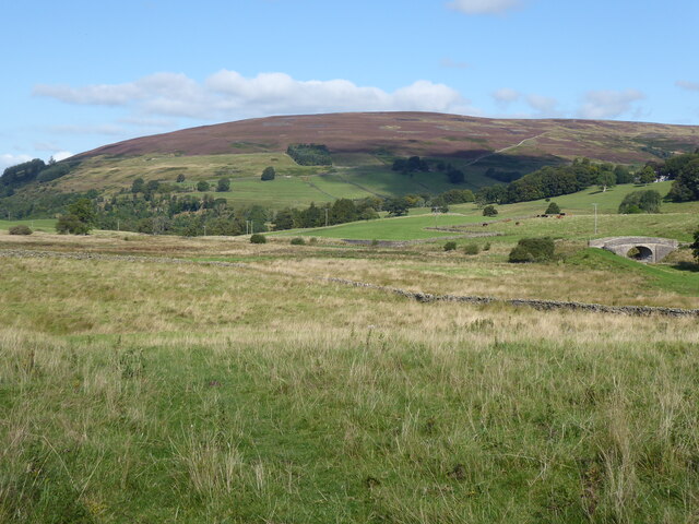
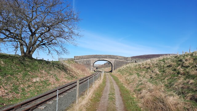
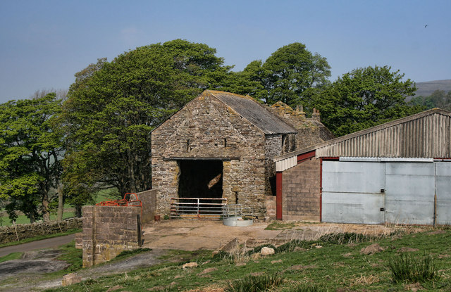
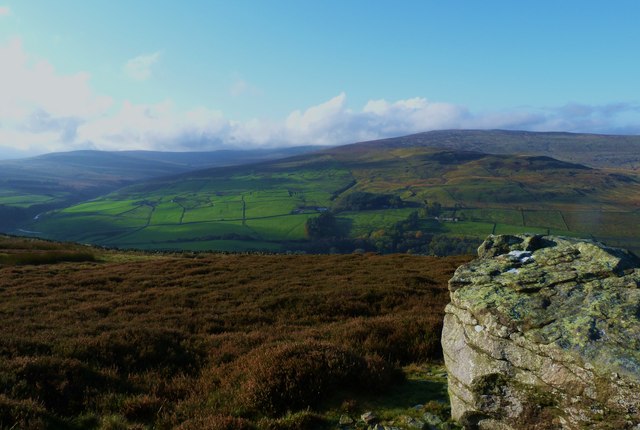
Kirkside Wood Images
Images are sourced within 2km of 54.835583/-2.4596808 or Grid Reference NY7049. Thanks to Geograph Open Source API. All images are credited.
Kirkside Wood is located at Grid Ref: NY7049 (Lat: 54.835583, Lng: -2.4596808)
Unitary Authority: Northumberland
Police Authority: Northumbria
What 3 Words
///satin.careless.generals. Near Alston, Cumbria
Nearby Locations
Related Wikis

Gilderdale Halt railway station
Gilderdale Halt railway station, also known as Gilderdale railway station, served the town of Alston, Cumbria, England, from 1986 to 1999 on the South...

South Tynedale Railway
The South Tynedale Railway is a preserved, 2 ft (610 mm) narrow gauge heritage railway in Northern England and at 875ft is England's second highest narrow...

Ayle
Ayle is a village in Northumberland, England, situated to the north of Alston. There are six residences in the hamlet. == Governance == Ayle is in the...
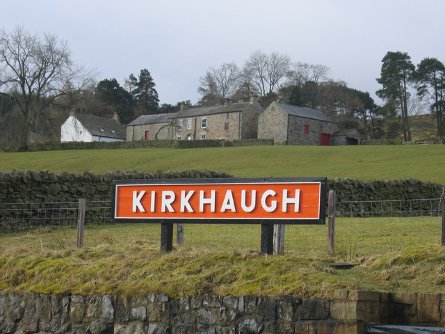
Kirkhaugh railway station
Kirkhaugh is a railway station on the South Tynedale Railway, which runs between Slaggyford and Alston. The station serves the hamlet of Kirkhaugh in Northumberland...
Nearby Amenities
Located within 500m of 54.835583,-2.4596808Have you been to Kirkside Wood?
Leave your review of Kirkside Wood below (or comments, questions and feedback).