Crag Wood
Wood, Forest in Yorkshire Ribble Valley
England
Crag Wood

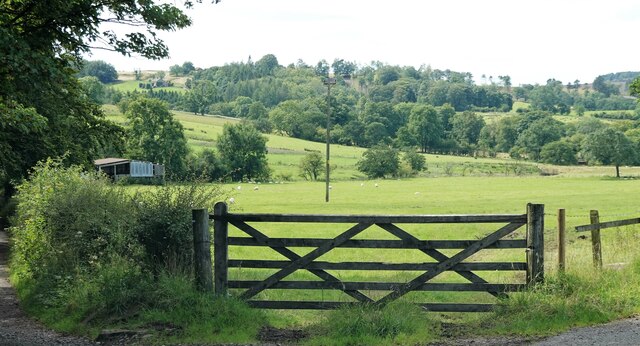
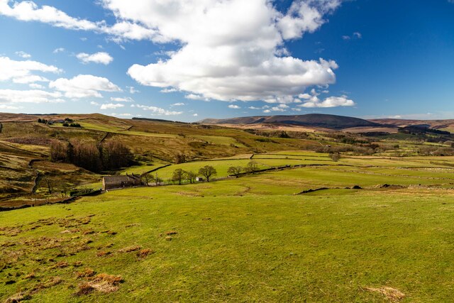
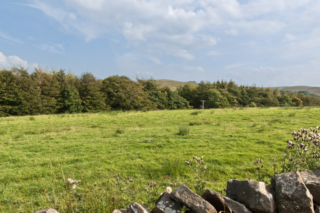
Crag Wood is a picturesque woodland located in the county of Yorkshire, England. Nestled in the heart of the Yorkshire Dales, it is a popular destination for nature enthusiasts and those seeking tranquility and solitude. The wood covers an area of approximately 500 acres and is renowned for its rich biodiversity and stunning natural beauty.
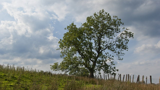
The woodland is predominantly composed of native tree species such as oak, beech, and birch, which create a dense canopy that provides shade and shelter to a wide variety of flora and fauna. The forest floor is adorned with a carpet of wildflowers, including bluebells, primroses, and wood anemones, creating a vibrant and colorful landscape during springtime.
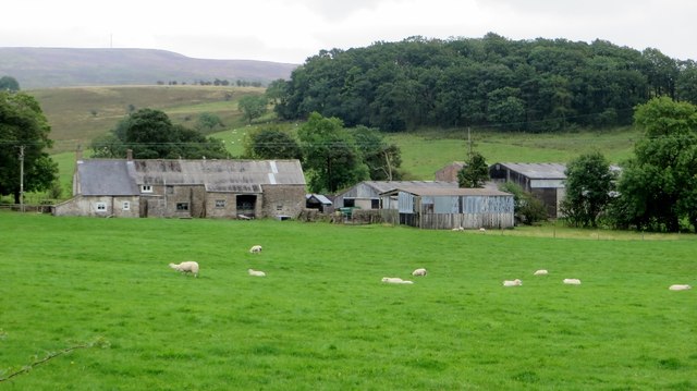
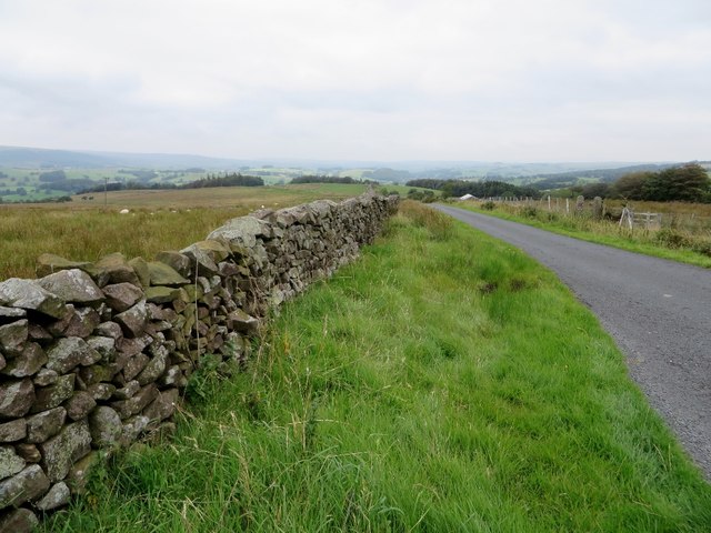
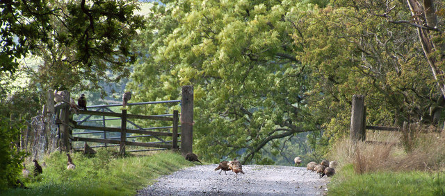
Crag Wood is crisscrossed by a network of well-maintained footpaths and trails, making it accessible to walkers and hikers of all abilities. These paths offer breathtaking views of the surrounding countryside, including rolling hills, meandering rivers, and cascading waterfalls. The wood is also home to a diverse range of wildlife, including deer, badgers, foxes, and various species of birds.
Visitors to Crag Wood can enjoy a range of recreational activities, such as picnicking, birdwatching, and photography. The peaceful atmosphere and natural beauty of the wood make it an ideal spot for relaxation and contemplation. Additionally, the wood is often used as a location for educational activities and guided nature walks, allowing visitors to learn more about the unique ecosystem and conservation efforts in the area.
Overall, Crag Wood is a true gem of Yorkshire, offering visitors a chance to immerse themselves in the beauty of nature and experience the tranquility of a thriving woodland ecosystem.
If you have any feedback on the listing, please let us know in the comments section below.
Crag Wood Images
Images are sourced within 2km of 53.92497/-2.472591 or Grid Reference SD6947. Thanks to Geograph Open Source API. All images are credited.


Crag Wood is located at Grid Ref: SD6947 (Lat: 53.92497, Lng: -2.472591)
Division: West Riding
Administrative County: Lancashire
District: Ribble Valley
Police Authority: Lancashire
What 3 Words
///linguists.waged.curvy. Near Waddington, Lancashire
Nearby Locations
Related Wikis

Bowland Rural District
Bowland was a rural district in the West Riding of Yorkshire from 1894 to 1974. It was named after the Forest of Bowland, which it included. It was formed...

Bowland Forest Low
Bowland Forest Low is a civil parish in the Ribble Valley district of Lancashire, England, covering some 5,500 acres (22 km2) of the Forest of Bowland...

Newton-in-Bowland
Newton or Newton-in-Bowland is a village and civil parish in the Ribble Valley district, in the county of Lancashire, England, formerly known as Newton...

Browsholme Hall
Browsholme Hall is a privately owned Tudor house in the parish of Bowland Forest Low in the borough of Ribble Valley, Lancashire (although historically...

Cow Ark Farmhouse
Cow Ark Farmhouse is a historic building in the English parish of Bowland Forest Low, Lancashire. It is Grade II listed, built around 1780, and is a sandstone...

Whitewell Hotel
Whitewell Hotel is an historic building in the English parish of Bowland Forest Low, Lancashire. It is Grade II listed, built in 1836, and is in sandstone...

Langden Brook
Langden Brook is a watercourse in the Trough of Bowland, Lancashire, England. A tributary of the River Hodder, its source is near the summit of Hawthornthwaite...

River Dunsop
The River Dunsop is a river in the Forest of Bowland in Northern England. It flows into the River Hodder at Dunsop Bridge.It begins at the confluence of...
Nearby Amenities
Located within 500m of 53.92497,-2.472591Have you been to Crag Wood?
Leave your review of Crag Wood below (or comments, questions and feedback).