Eastham's Wood
Wood, Forest in Lancashire Ribble Valley
England
Eastham's Wood
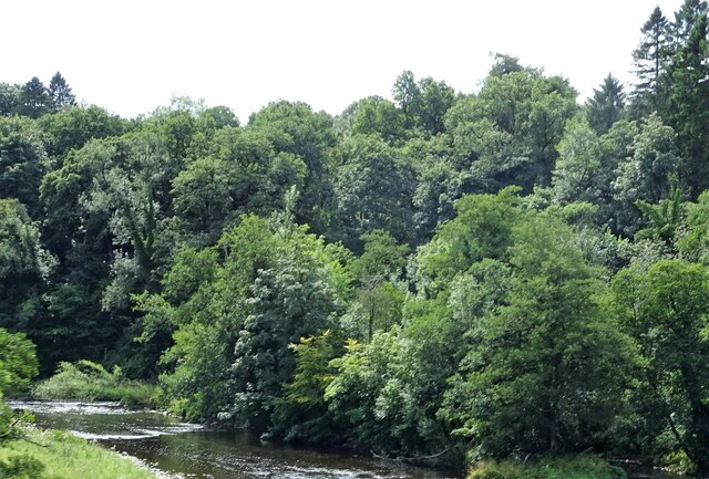
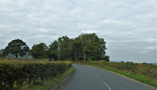
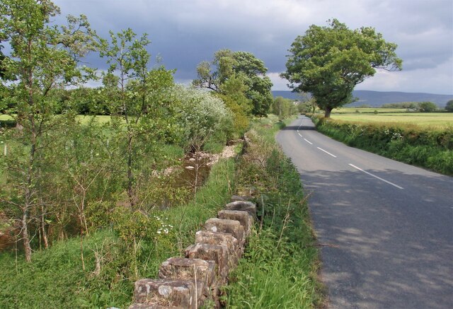
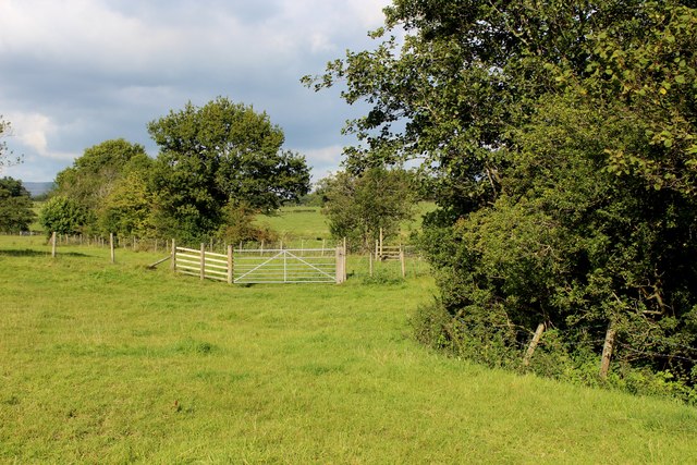
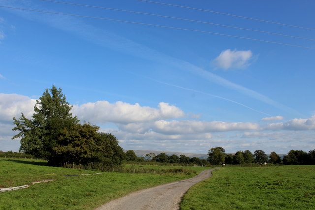
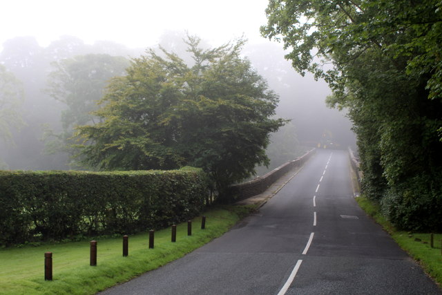
Eastham's Wood is a picturesque forest located in Lancashire, England. Spanning over an area of approximately 100 acres, this woodland is known for its natural beauty and diverse flora and fauna. It is situated near the village of Eastham, providing a serene and tranquil escape for nature enthusiasts and outdoor lovers.
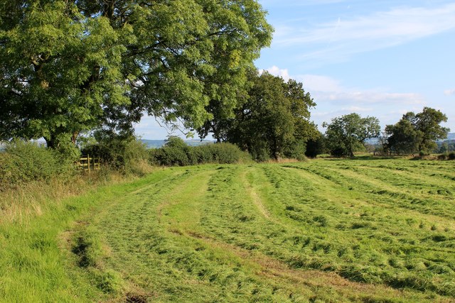
The wood features a variety of tree species, including oak, birch, and beech, creating a dense canopy that provides shade and shelter to the surrounding wildlife. This lush greenery creates a pleasant atmosphere for visitors to explore and appreciate the wonders of nature.
Numerous walking trails wind through the forest, allowing visitors to immerse themselves in the peaceful surroundings. These paths offer opportunities for leisurely strolls, as well as more challenging hikes for those seeking a more adventurous experience. Along the way, visitors may encounter an array of wildlife, such as deer, squirrels, and a variety of bird species.
Eastham's Wood is also home to a diverse range of plant life, including bluebells, wild garlic, and ferns, which add splashes of color and texture to the forest floor. These botanical wonders create a vibrant and enchanting environment, particularly during the spring and summer months.
Overall, Eastham's Wood is a haven for nature lovers, offering a serene and idyllic setting to escape the hustle and bustle of everyday life. Its natural beauty, diverse wildlife, and captivating flora make it a must-visit destination for anyone seeking a peaceful and immersive woodland experience in Lancashire.
If you have any feedback on the listing, please let us know in the comments section below.
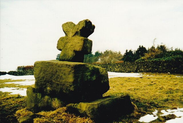
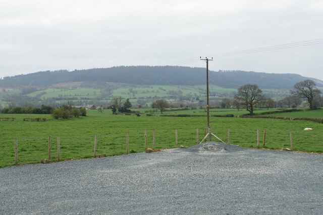
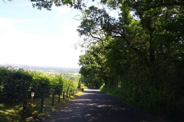
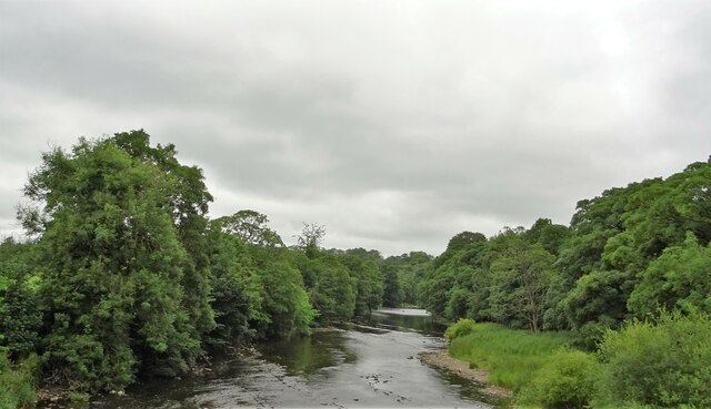
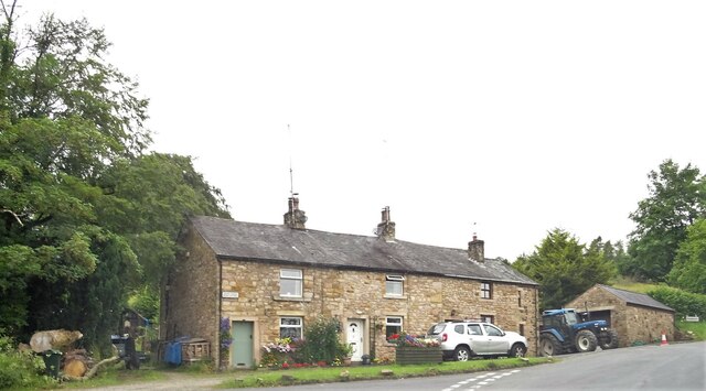
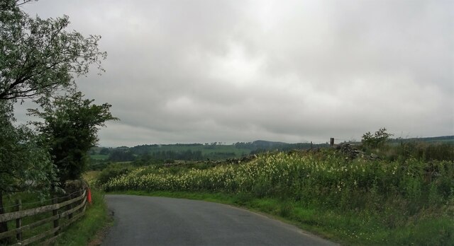
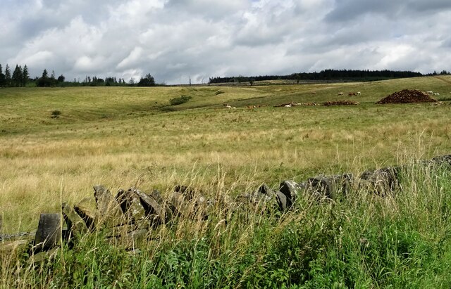
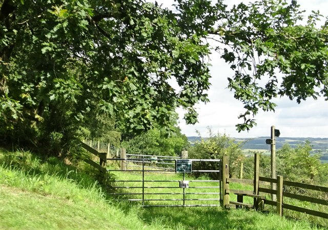
Eastham's Wood Images
Images are sourced within 2km of 53.865948/-2.4721077 or Grid Reference SD6941. Thanks to Geograph Open Source API. All images are credited.


Eastham's Wood is located at Grid Ref: SD6941 (Lat: 53.865948, Lng: -2.4721077)
Administrative County: Lancashire
District: Ribble Valley
Police Authority: Lancashire
What 3 Words
///hidden.inert.jiggle. Near Waddington, Lancashire
Nearby Locations
Related Wikis

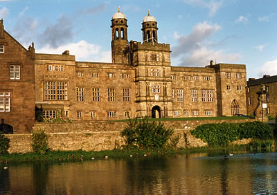
Stonyhurst College
Stonyhurst College is a co-educational Roman Catholic independent school, adhering to the Jesuit tradition, on the Stonyhurst Estate, Lancashire, England...
Libraries and collections of Stonyhurst College
The Jesuit origins of Stonyhurst College in Lancashire, England, have enabled it to amass a large collection of books, a number of which concern recusant...
Stonyhurst Saint Mary's Hall
Stonyhurst St Mary's Hall (commonly known as S.M.H.) is the preparatory school to Stonyhurst College. It is an independent co-educational Catholic school...

Bashall Eaves
Bashall Eaves is a village and civil parish in the Ribble Valley district of Lancashire, England, about four miles (6 km) west of Clitheroe. The placename...
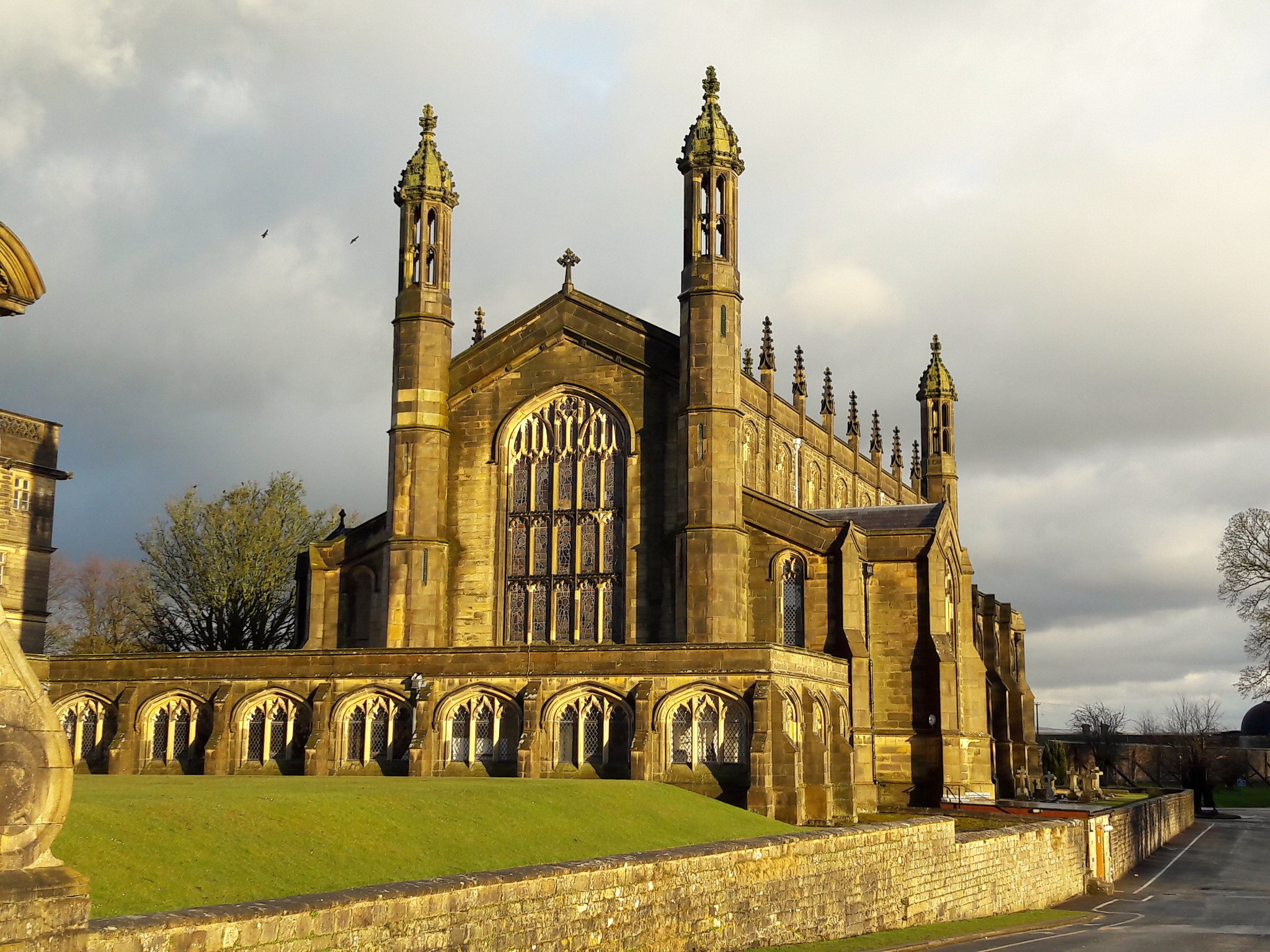
St Peter's Church, Stonyhurst
St Peter's Church is a Roman Catholic Parish Church in Stonyhurst. It is the parish church for Hurst Green, Lancashire and a chapel for Stonyhurst College...
Stonyhurst
Stonyhurst is the name of a 1,000-acre (4 km2) rural estate owned by the Society of Jesus near Clitheroe in Lancashire, England. It is centred on Stonyhurst...
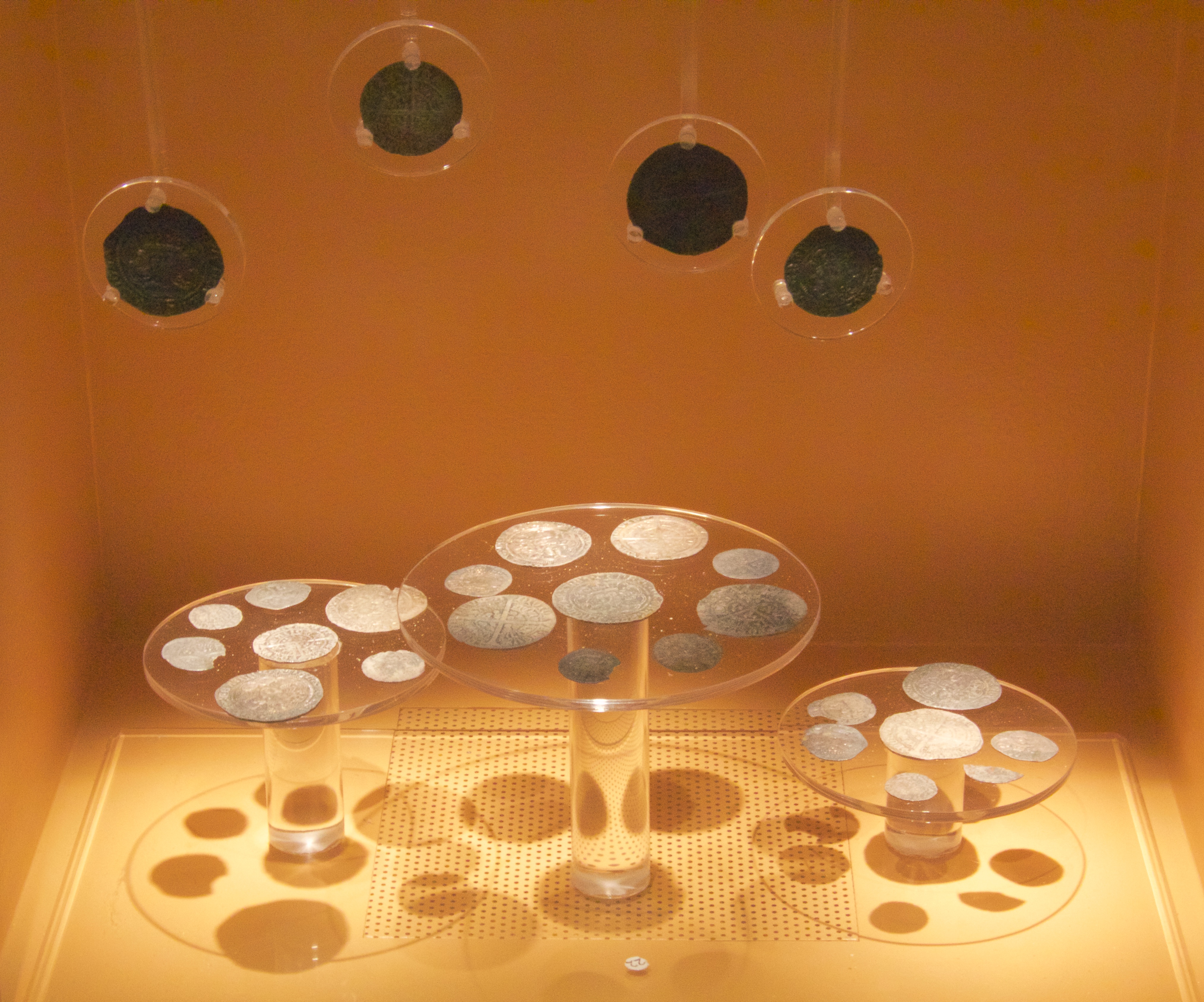
Mitton Hoard
The Mitton Hoard is a hoard of silver coins found near Clitheroe in Lancashire, England, in 2006 or 2009. The hoard is now in Clitheroe Castle Museum...
Longridge Fell
Longridge Fell is the most southerly fell in England, near the town of Longridge, Lancashire. It lies at the southern end of the Forest of Bowland Area...
Nearby Amenities
Located within 500m of 53.865948,-2.4721077Have you been to Eastham's Wood?
Leave your review of Eastham's Wood below (or comments, questions and feedback).