Crag Hill
Hill, Mountain in Yorkshire Ribble Valley
England
Crag Hill

Crag Hill, also known as Eel Crag, is a prominent hill located in the Lake District National Park in the county of Cumbria, England. Despite its name, Crag Hill is not situated in Yorkshire, but rather in the northwestern part of England. The hill forms part of the Skiddaw range, which is one of the most popular areas for hiking and mountaineering in the Lake District.
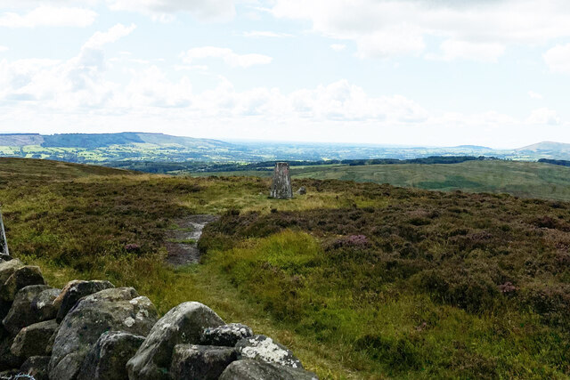
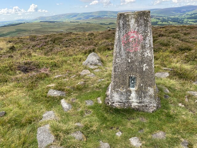
Standing at a height of 839 meters (2,753 feet), Crag Hill offers breathtaking panoramic views of the surrounding landscape, including the nearby peaks of Skiddaw, Grisedale Pike, and Sail. The summit of Crag Hill is marked by a cairn, which serves as a navigational aid for hikers and is often used as a point of reference.
The ascent to Crag Hill can be challenging, with steep slopes and rugged terrain, making it a favorite destination for experienced hikers and mountaineers seeking a thrilling outdoor adventure. The most popular route to reach the summit is from the village of Braithwaite, following the path through Coledale Hause and onwards to the top.
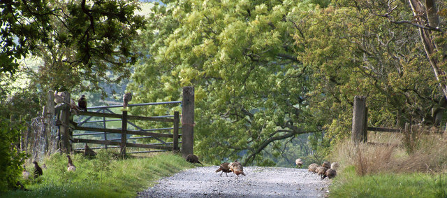
Crag Hill is also home to several tarns, or small mountain lakes, including Coledale Tarn and Grisedale Pike Tarn, which add to the beauty of the area. The hill is abundant in wildlife, with red deer, birds of prey, and a variety of flora and fauna making their home in this picturesque landscape.
Overall, Crag Hill offers a challenging yet rewarding experience for outdoor enthusiasts, providing stunning views, a diverse range of plant and animal life, and a chance to immerse oneself in the natural beauty of the Lake District National Park.
If you have any feedback on the listing, please let us know in the comments section below.
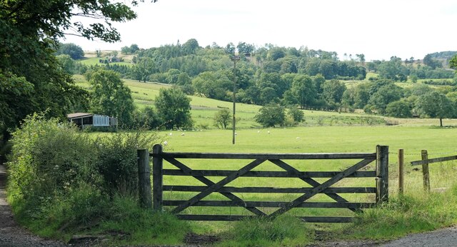
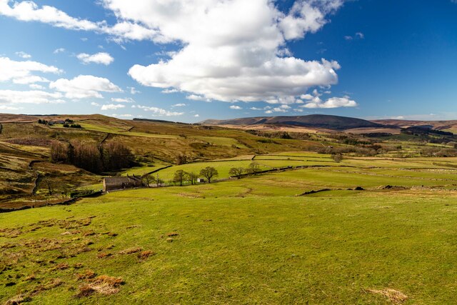
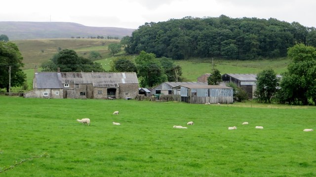
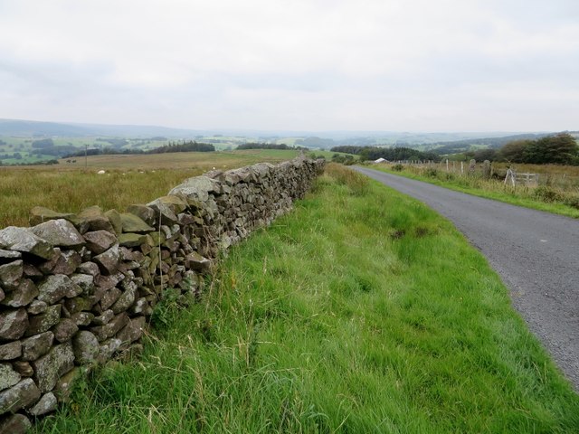
Crag Hill Images
Images are sourced within 2km of 53.923636/-2.462069 or Grid Reference SD6947. Thanks to Geograph Open Source API. All images are credited.


Crag Hill is located at Grid Ref: SD6947 (Lat: 53.923636, Lng: -2.462069)
Division: West Riding
Administrative County: Lancashire
District: Ribble Valley
Police Authority: Lancashire
What 3 Words
///smuggled.survive.arriving. Near Waddington, Lancashire
Nearby Locations
Related Wikis

Bowland Rural District
Bowland was a rural district in the West Riding of Yorkshire from 1894 to 1974. It was named after the Forest of Bowland, which it included. It was formed...

Bowland Forest Low
Bowland Forest Low is a civil parish in the Ribble Valley district of Lancashire, England, covering some 5,500 acres (22 km2) of the Forest of Bowland...

Newton-in-Bowland
Newton or Newton-in-Bowland is a village and civil parish in the Ribble Valley district, in the county of Lancashire, England, formerly known as Newton...

Browsholme Hall
Browsholme Hall is a privately owned Tudor house in the parish of Bowland Forest Low in the borough of Ribble Valley, Lancashire (although historically...

Cow Ark Farmhouse
Cow Ark Farmhouse is a historic building in the English parish of Bowland Forest Low, Lancashire. It is Grade II listed, built around 1780, and is a sandstone...

Easington Fell
Easington Fell is a Marilyn in the Forest of Bowland in Lancashire, England. It has been surveyed to be 70 cm higher than a nearby fell of almost identical...

Whitewell Hotel
Whitewell Hotel is an historic building in the English parish of Bowland Forest Low, Lancashire. It is Grade II listed, built in 1836, and is in sandstone...

Langden Brook
Langden Brook is a watercourse in the Trough of Bowland, Lancashire, England. A tributary of the River Hodder, its source is near the summit of Hawthornthwaite...
Nearby Amenities
Located within 500m of 53.923636,-2.462069Have you been to Crag Hill?
Leave your review of Crag Hill below (or comments, questions and feedback).