Duckpit Hill
Hill, Mountain in Yorkshire Ribble Valley
England
Duckpit Hill

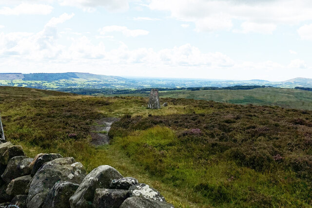
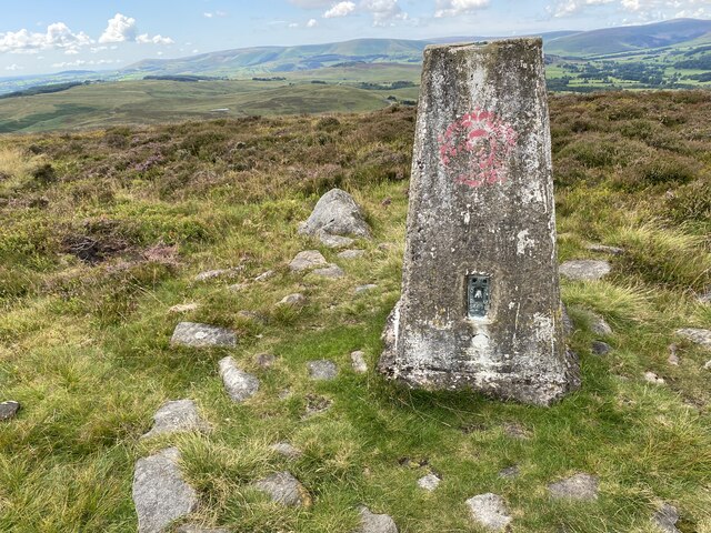
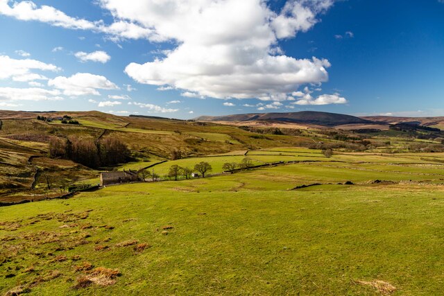
Duckpit Hill is a prominent hill located in the county of Yorkshire, England. Situated in the North York Moors National Park, it forms part of the stunning landscape that characterizes this region. Rising to an elevation of approximately 370 meters (1,214 feet), Duckpit Hill offers spectacular panoramic views of the surrounding countryside.
The hill derives its name from the presence of numerous depressions or "duckpits" that are scattered across its slopes. These natural hollows were created during the last Ice Age, when melting glaciers left behind pockets of water that eventually formed small ponds. Over time, these ponds dried up, leaving behind the distinctive depressions that are still visible today.
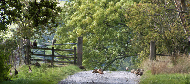
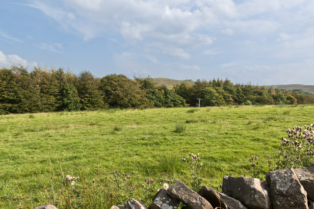
Duckpit Hill is covered in a mixture of heather, grasses, and shrubs, creating a colorful and diverse habitat for various plant and animal species. The hill is particularly known for its rich birdlife, with species such as curlews, lapwings, and skylarks commonly spotted in the area.
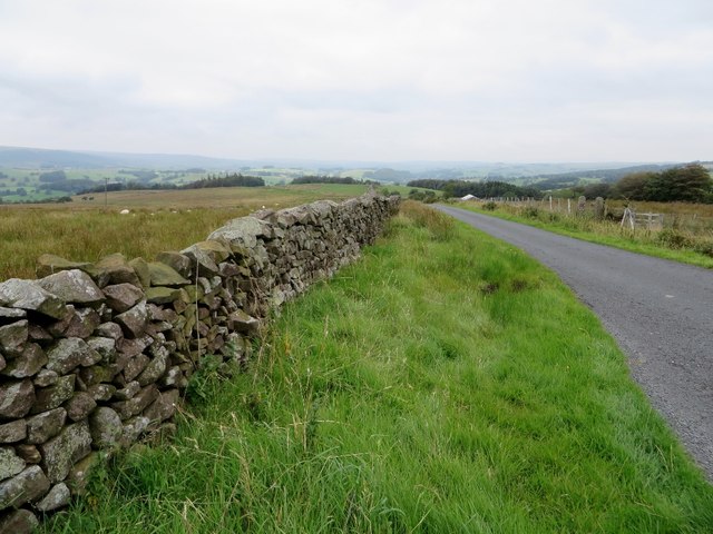
Hikers and nature enthusiasts are drawn to Duckpit Hill for its tranquil and unspoiled beauty. Several footpaths traverse the hill, allowing visitors to explore its slopes and enjoy the breathtaking vistas of the surrounding moorland. The hill also serves as a starting point for longer walks, including routes that lead to nearby landmarks like the Hole of Horcum and Levisham Moor.
Overall, Duckpit Hill is a captivating natural landmark in Yorkshire, offering visitors an opportunity to immerse themselves in the stunning countryside and experience the unique geological features that define this region.
If you have any feedback on the listing, please let us know in the comments section below.
Duckpit Hill Images
Images are sourced within 2km of 53.919048/-2.4608916 or Grid Reference SD6947. Thanks to Geograph Open Source API. All images are credited.


Duckpit Hill is located at Grid Ref: SD6947 (Lat: 53.919048, Lng: -2.4608916)
Division: West Riding
Administrative County: Lancashire
District: Ribble Valley
Police Authority: Lancashire
What 3 Words
///fussed.mixing.wicket. Near Waddington, Lancashire
Nearby Locations
Related Wikis

Bowland Rural District
Bowland was a rural district in the West Riding of Yorkshire from 1894 to 1974. It was named after the Forest of Bowland, which it included. It was formed...

Bowland Forest Low
Bowland Forest Low is a civil parish in the Ribble Valley district of Lancashire, England, covering some 5,500 acres (22 km2) of the Forest of Bowland...

Browsholme Hall
Browsholme Hall is a privately owned Tudor house in the parish of Bowland Forest Low in the borough of Ribble Valley, Lancashire (although historically...

Newton-in-Bowland
Newton or Newton-in-Bowland is a village and civil parish in the Ribble Valley district, in the county of Lancashire, England, formerly known as Newton...

Cow Ark Farmhouse
Cow Ark Farmhouse is a historic building in the English parish of Bowland Forest Low, Lancashire. It is Grade II listed, built around 1780, and is a sandstone...

Easington Fell
Easington Fell is a Marilyn in the Forest of Bowland in Lancashire, England. It has been surveyed to be 70 cm higher than a nearby fell of almost identical...

Bashall Eaves
Bashall Eaves is a village and civil parish in the Ribble Valley district of Lancashire, England, about four miles (6 km) west of Clitheroe. The placename...

Whitewell Hotel
Whitewell Hotel is an historic building in the English parish of Bowland Forest Low, Lancashire. It is Grade II listed, built in 1836, and is in sandstone...
Nearby Amenities
Located within 500m of 53.919048,-2.4608916Have you been to Duckpit Hill?
Leave your review of Duckpit Hill below (or comments, questions and feedback).