Breaskay Hill
Hill, Mountain in Yorkshire South Lakeland
England
Breaskay Hill
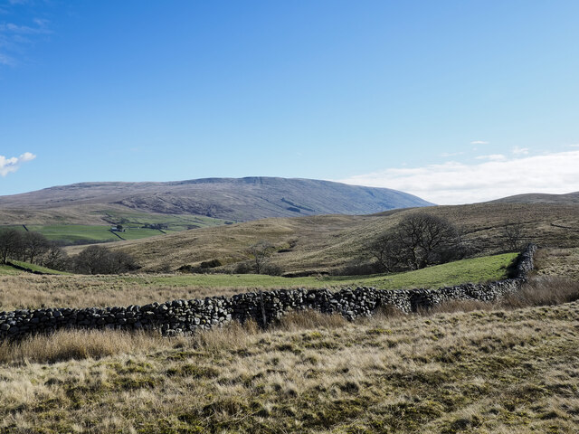
Breaskay Hill is a prominent geographical feature located in the region of Yorkshire, England. Rising to an elevation of approximately 500 meters (1,640 feet), it is classified as a hill rather than a mountain due to its height.
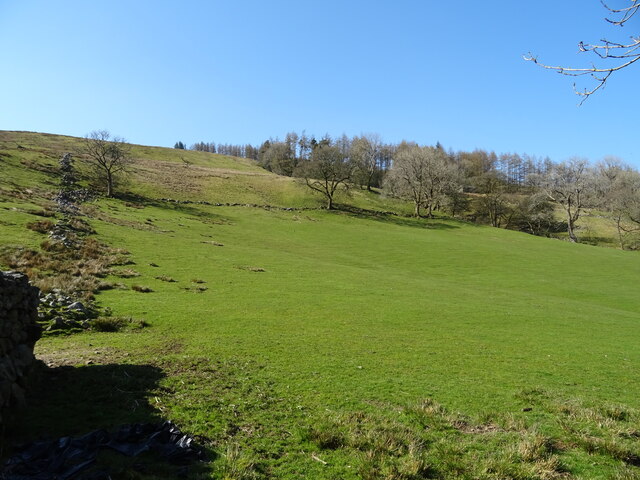
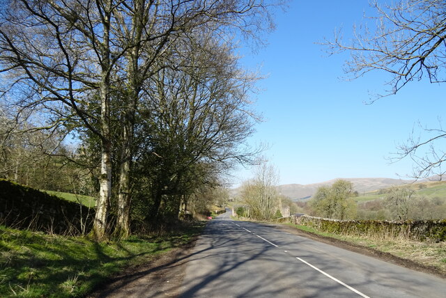
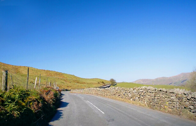
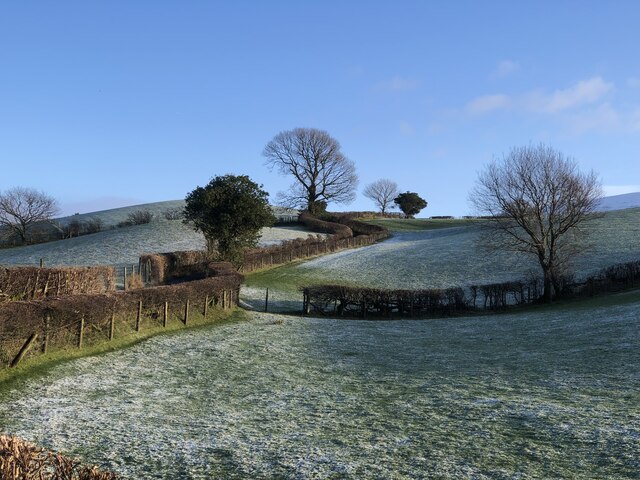
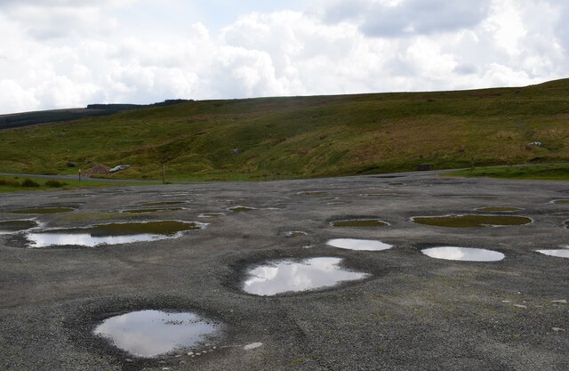
Situated in the North York Moors National Park, Breaskay Hill offers breathtaking panoramic views of the surrounding countryside. Its location within this protected area ensures that the natural beauty of the hill remains untouched and preserved. The hill is characterized by its gently sloping sides, covered in lush green vegetation.
Breaskay Hill is a popular destination for outdoor enthusiasts, offering a range of activities. Hiking and walking trails crisscross the hill, allowing visitors to explore its stunning landscapes at their own pace. The trails cater to all levels of fitness, from leisurely strolls to more challenging hikes.
Wildlife is abundant on Breaskay Hill, with various species calling this area home. Birdwatchers can spot a wide array of avian species, including red kites, kestrels, and buzzards. The hill's diverse flora attracts butterflies and other insects, making it a haven for nature lovers.
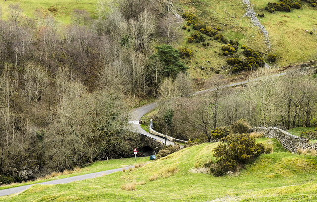
The hill is easily accessible by car, with parking available at the base. It is recommended to bring appropriate footwear and clothing, as the weather on Breaskay Hill can be unpredictable, with strong winds and sudden changes in temperature.
Overall, Breaskay Hill offers a tranquil escape from the hustle and bustle of everyday life, providing visitors with an opportunity to immerse themselves in the natural beauty of the Yorkshire countryside.
If you have any feedback on the listing, please let us know in the comments section below.
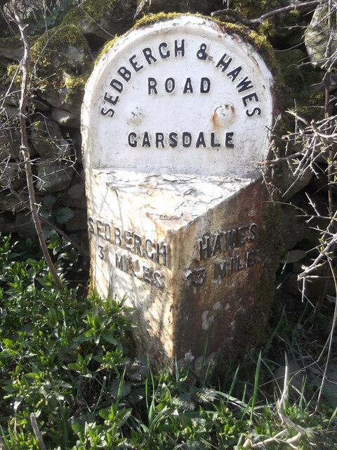
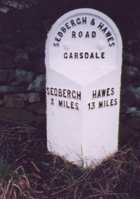
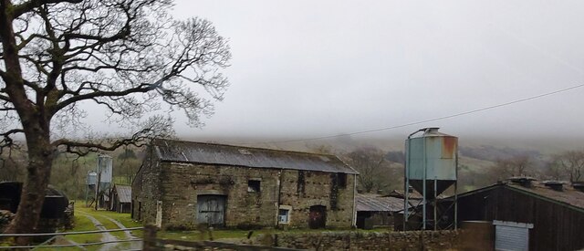
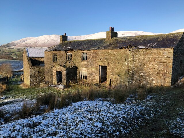
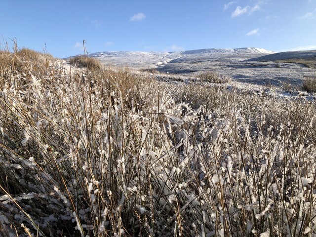
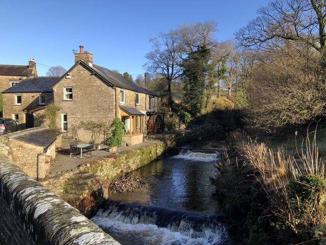
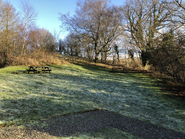
Breaskay Hill Images
Images are sourced within 2km of 54.326508/-2.465407 or Grid Reference SD6992. Thanks to Geograph Open Source API. All images are credited.

Breaskay Hill is located at Grid Ref: SD6992 (Lat: 54.326508, Lng: -2.465407)
Division: West Riding
Administrative County: Cumbria
District: South Lakeland
Police Authority: Cumbria
What 3 Words
///brambles.efficient.overhear. Near Sedbergh, Cumbria
Nearby Locations
Related Wikis

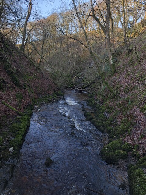
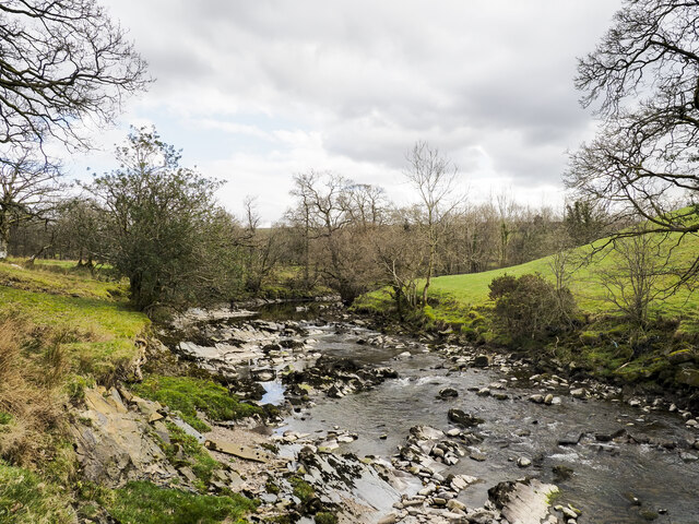
Clough River
The Clough River is a river in Cumbria, England. A tributary of the River Rawthey, it flows for 21.8 kilometres (13.5 mi) primarily through the Garsdale...

Settlebeck School
Settlebeck School is a small coeducational secondary school with academy status. It is located in Sedbergh in the English county of Cumbria, drawing pupils...

Millthrop
Millthrop is a hamlet in the South Lakeland district of Cumbria, Northern England and the Yorkshire Dales. Millthrop lies on the south bank of the River...

Sedbergh
Sedbergh ( SED-bər or locally SEB-ər) is a town and civil parish in the ceremonial county of Cumbria. It falls within the historic boundaries of the West...

The Bull Hotel, Sedbergh
The Bull Hotel, formerly The Black Bull Hotel, is a 17th-century coaching inn in Sedbergh, Cumbria. It is located in a narrow passage parallel with the...

Sedbergh School Chapel
Sedbergh School Chapel is located to the southeast of Sedbergh School, Sedbergh, Cumbria, England. It is considered to be of architectural importance...

St Andrew's Church, Sedbergh
St Andrew's Church is in Main Street, Sedbergh, Cumbria, England. It is an active Anglican parish church in the deanery of Kendal, and the diocese of Carlisle...
Sedbergh People's Hall
Sedbergh People's Hall is a village hall in Sedbergh, unique because it was built by the people, for the people. == Land and lease == The land on which...
Nearby Amenities
Located within 500m of 54.326508,-2.465407Have you been to Breaskay Hill?
Leave your review of Breaskay Hill below (or comments, questions and feedback).