Woodground Plantation

Wood, Forest in Gloucestershire Forest of Dean

England

Woodground Plantation

Footpath junction In Queen's Wood we have good paths and signage.
Footpath junction Credit: Jonathan Billinger

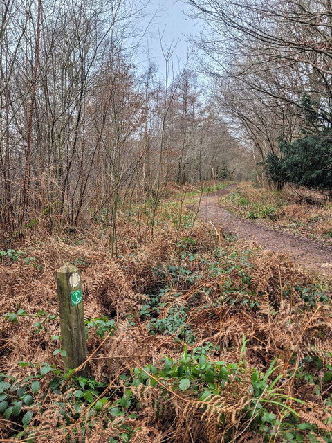
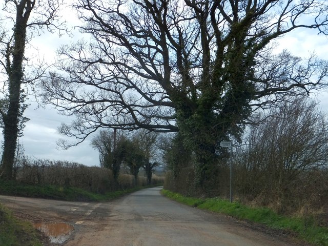
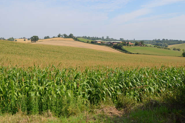
Woodground Plantation is a picturesque woodland located in the county of Gloucestershire, England. Situated in the heart of the Forest of Dean, this plantation covers a vast area of land, encompassing dense forests and enchanting woodlands.

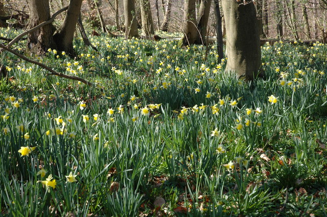
The plantation is renowned for its diverse and thriving ecosystem, hosting a wide range of flora and fauna. Towering oak trees, beech trees, and ash trees dominate the landscape, creating a lush and verdant canopy that provides shelter and sustenance for various wildlife species.

The woodland is home to an array of animals, including deer, badgers, foxes, and an abundance of bird species. It is a designated Site of Special Scientific Interest (SSSI) due to its rich biodiversity and the presence of rare and protected species.

Woodground Plantation offers visitors an opportunity to immerse themselves in the beauty of nature. It features numerous walking trails and paths that wind through the forest, allowing nature enthusiasts and hikers to explore its hidden gems. The plantation is also popular for birdwatching, as it provides an ideal habitat for birds such as woodpeckers, owls, and various songbirds.

Additionally, Woodground Plantation holds historical significance, as it was once part of the ancient royal hunting grounds. Remnants of this past can still be seen, with the presence of ancient earthworks and archaeological sites that hint at its rich heritage.

Overall, Woodground Plantation in Gloucestershire is a captivating destination for nature lovers, offering a tranquil and immersive experience in the heart of the forest.

If you have any feedback on the listing, please let us know in the comments section below.

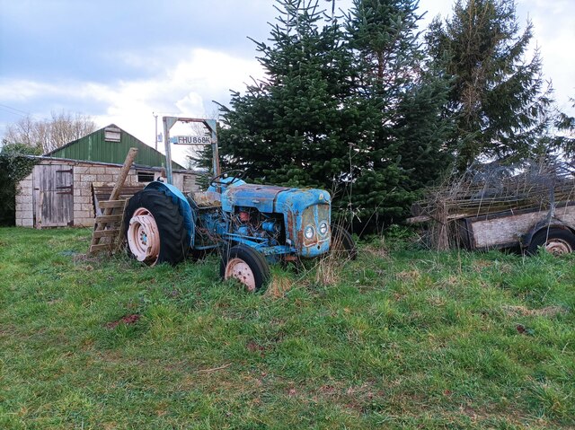
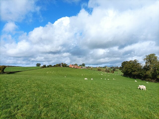
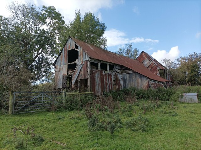
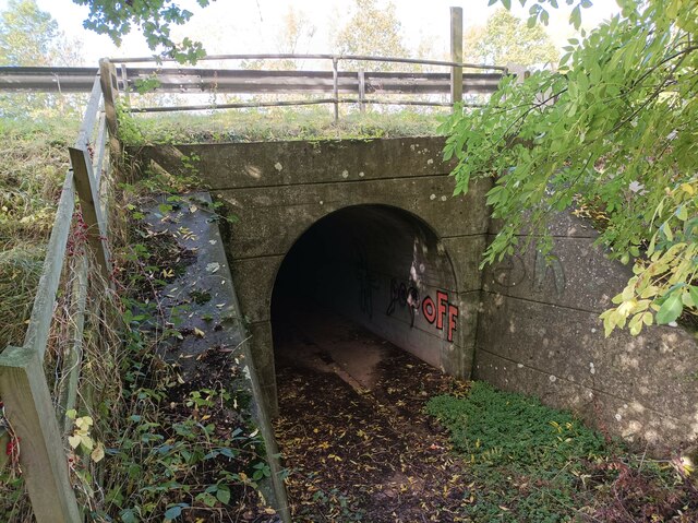
Woodground Plantation Images

Images are sourced within 2km of 51.953177/-2.4515717 or Grid Reference SO6928. Thanks to Geograph Open Source API. All images are credited.

Footpath junction In Queen's Wood we have good paths and signage.
Footpath junction
In Queen's Wood we have good paths and signage.
Queen's Wood pond Even on 26th December there are still muted colours and reflections to enjoy
Queen's Wood pond
Even on 26th December there are still muted colours and reflections to enjoy
Queen's Wood pond Some nice reflections and splashes of colour on a Boxing Day morning walk.
Queen's Wood pond
Some nice reflections and splashes of colour on a Boxing Day morning walk.
Boyce Court Boyce Court viewed from the Daffodil Way.  The house was built in 1835 for Drummond family.  A fine looking Grade II listed early 19th century house beside a cedar tree.
Boyce Court
Boyce Court viewed from the Daffodil Way. The house was built in 1835 for Drummond family. A fine looking Grade II listed early 19th century house beside a cedar tree.
Oxenhall Canal Tunnel Southern Portal, 1979 A photograph taken in what looks to be fairly wintry conditions sometime in 1978/79.

It was in a pretty sorry state back then; work was undertaken to renovate it in the 90s (see David Stowell's picture here: <a title="https://www.geograph.org.uk/photo/3682" href="https://www.geograph.org.uk/photo/3682">Link</a> )  but it has, sadly, since fallen back into disrepair (John Winder's picture of 2011: <span class="nowrap"><a title="https://m.geograph.org.uk/photo/5997716" rel="nofollow ugc noopener" href="https://m.geograph.org.uk/photo/5997716">Link</a><img style="margin-left:2px;" alt="External link" title="External link - shift click to open in new window" src="https://s1.geograph.org.uk/img/external.png" width="10" height="10"/></span> )
Oxenhall Canal Tunnel Southern Portal, 1979
A photograph taken in what looks to be fairly wintry conditions sometime in 1978/79. It was in a pretty sorry state back then; work was undertaken to renovate it in the 90s (see David Stowell's picture here: Link ) but it has, sadly, since fallen back into disrepair (John Winder's picture of 2011: LinkExternal link )
Old tractor A rusty blue tractor on the edge of a field.
Old tractor
A rusty blue tractor on the edge of a field.
Holder's Farm and sheep field Holder's Farm, seen from the footpath through a sheep field.
Holder's Farm and sheep field
Holder's Farm, seen from the footpath through a sheep field.
Abandoned barn A seemingly abandoned, rusty barn in a field near the M50.
Abandoned barn
A seemingly abandoned, rusty barn in a field near the M50.
M50 underpass footpath A small tunnel leading under the M50, defaced with graffiti.
M50 underpass footpath
A small tunnel leading under the M50, defaced with graffiti.
Part of the Daffodil Way approaching Boyce Court An elegant country house framed by a mature Cedar of Lebanon.
Part of the Daffodil Way approaching Boyce Court
An elegant country house framed by a mature Cedar of Lebanon.
Boyce Court Grade II listed building looking a little tired.
Boyce Court
Grade II listed building looking a little tired.
Mixed hedges and trees at Hillend Green The junction at Hillend Green; the hedges have been trimmed at different times, giving a contrast between the two sides of the road.
Mixed hedges and trees at Hillend Green
The junction at Hillend Green; the hedges have been trimmed at different times, giving a contrast between the two sides of the road.
Normans Land Farm There are numerous daffodils on the verge; some are wild.
Normans Land Farm
There are numerous daffodils on the verge; some are wild.
Electrical sub-station and footpath The sign for the footpath is almost hidden by the branches of the tree
Electrical sub-station and footpath
The sign for the footpath is almost hidden by the branches of the tree
The road to Dymock On the horizon is the southern end of the Malvern Hills, showing how dramatically these hills rise from the lowlands of south-west Herefordshire
The road to Dymock
On the horizon is the southern end of the Malvern Hills, showing how dramatically these hills rise from the lowlands of south-west Herefordshire
Castle Fruit Farm - Lancaster Burne's windmill  The windmill is an electricity generating windmill that was erected in 1924 and ran until 1956. It drove a 1 kW dynamo for battery charging and had patented sails that folded vertically along the centre line under the control of a weight loaded striking rod. The designer was one Mr E Lancaster Burne and it was built by English Brothers Ltd of Wisbech. This is a very rare survivor and was photographed from within the orchards but outside the hedge separating the private house's garden. This is a very rare and most interesting survivor.
Castle Fruit Farm - Lancaster Burne's windmill
The windmill is an electricity generating windmill that was erected in 1924 and ran until 1956. It drove a 1 kW dynamo for battery charging and had patented sails that folded vertically along the centre line under the control of a weight loaded striking rod. The designer was one Mr E Lancaster Burne and it was built by English Brothers Ltd of Wisbech. This is a very rare survivor and was photographed from within the orchards but outside the hedge separating the private house's garden. This is a very rare and most interesting survivor.
Maize field
Maize field
Show me another place!

Woodground Plantation is located at Grid Ref: SO6928 (Lat: 51.953177, Lng: -2.4515717)

Administrative County: Gloucestershire

District: Forest of Dean

Police Authority: Gloucestershire

What 3 Words

///carver.elections.sprains. Near Newent, Gloucestershire

Related Wikis

Dymock Woods SSSI

Dymock Woods (grid reference SO684288, SO692290, SO697283) is a 53-hectare (130-acre) biological Site of Special Scientific Interest in Gloucestershire...

Gwen and Vera's Fields

Gwen and Vera's Fields (grid reference SO696277) is a 0.28-hectare (0.69-acre) nature reserve in Gloucestershire.The site, which consists of two separate...

Ledbury and Gloucester Railway

The Ledbury and Gloucester Railway (also known as the Daffodil Line), was a railway line in Herefordshire and Gloucestershire, England, running between...

Four Oaks Halt railway station

Four Oaks Halt was a request stop on the former Ledbury and Gloucester Railway. It was located 2 miles north of Newent. The station opened on 16 October...

Kempley Daffodil Meadow

Kempley Daffodil Meadow (grid reference SO676301) is a 1.2-hectare (3.0-acre) biological Site of Special Scientific Interest in Gloucestershire, notified...

Kempley

Kempley is a village and civil parish in the Forest of Dean district of Gloucestershire, England, close to the border with Herefordshire. It lies 17 miles...

St Edward's Church, Kempley

The Church of St Edward the Confessor in Kempley is a Church of England parish church in the Forest of Dean district of Gloucestershire, England, close...

Castle Tump, Dymock

Castle Tump was a castle in the village of Dymock in Gloucestershire, England. The castle was built in either the 11th or more probably the early 12th...

Nearby Amenities

Located within 500m of 51.953177,-2.4515717
Bus Stop
Woodview
Naptan AtcoCode: 1600GL2057
Naptan Bearing: SW
Naptan CommonName: Woodview
Naptan NaptanCode: gloamdwg
Naptan Street: Hillend Green Rd
Naptan Verified: no
Source: naptan_import
Lat/Long: 51.9538713/-2.4455552
Bus Stop
Woodview
Naptan AtcoCode: 1600GL2058
Naptan Bearing: E
Naptan CommonName: Woodview
Naptan Indicator: Opp
Naptan NaptanCode: gloamdwj
Naptan Street: Hillend Green Rd
Naptan Verified: no
Source: naptan_import
Lat/Long: 51.9540069/-2.4453528
Greenaways
Power: pole
Transformer: distribution
Voltage Primary: 11000
Lat/Long: 51.9500886/-2.4465582
Power: pole
Lat/Long: 51.9507283/-2.4463946
Power: pole
Lat/Long: 51.9513582/-2.4462403
Four Oaks
Power: pole
Transformer: distribution
Voltage Primary: 11000
Lat/Long: 51.9535307/-2.4452915
Power: pole
Lat/Long: 51.9523244/-2.4459936
Power: pole
Lat/Long: 51.9532704/-2.4457274
Four Oaks
Place: hamlet
Lat/Long: 51.9539924/-2.4455416
The data included in this document is from www.openstreetmap.org. The data is made available under ODbL.

Have you been to Woodground Plantation?

Leave your review of Woodground Plantation below (or comments, questions and feedback).