Colonels Grove

Wood, Forest in Gloucestershire Forest of Dean

England

Colonels Grove

Three Choirs Vineyard The March clouds crowd the sky above the source of Three Choirs fortune.
Three Choirs Vineyard Credit: Jonathan Billinger

Colonels Grove is a picturesque woodland area located in Gloucestershire, England. Situated within the larger Forest of Dean, this tranquil grove is renowned for its natural beauty and rich history.

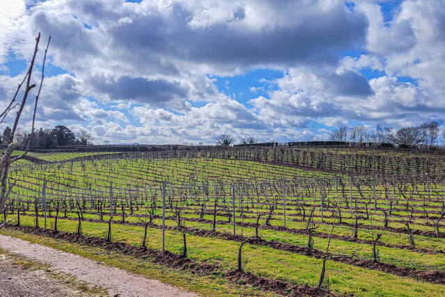
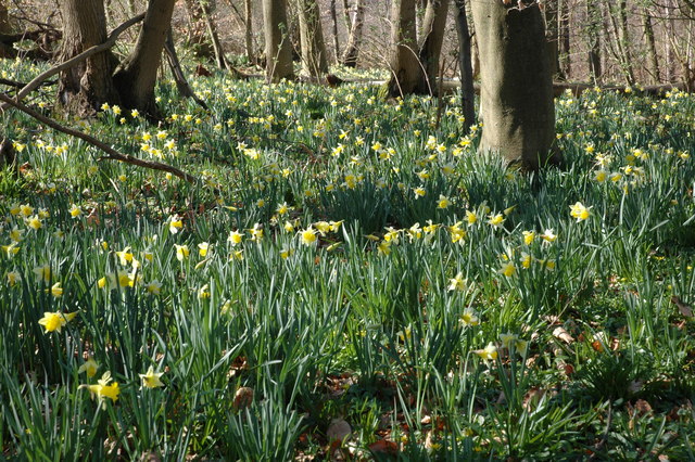
Covering an area of approximately 100 acres, Colonels Grove is predominantly composed of dense woodland, with a diverse range of tree species including oak, beech, and birch. The grove is characterized by its lush greenery, providing a haven for various wildlife species such as birds, deer, and squirrels. It is a popular destination for nature enthusiasts, hikers, and photographers who seek to immerse themselves in the peaceful surroundings.

The history of Colonels Grove can be traced back to the medieval period when it was part of the royal hunting grounds. The grove was named after Colonel John Birch, a prominent figure during the English Civil War, who had a residence nearby. It is said that Colonel Birch used the grove as a hiding place during the war.

Today, Colonels Grove offers visitors a range of activities and amenities. There are well-maintained walking trails that meander through the woodland, allowing visitors to explore its beauty at their own pace. The grove also features picnic areas and benches, providing a perfect spot for visitors to relax and enjoy the serene atmosphere. Additionally, guided tours and educational programs are available for those interested in learning more about the grove's history and ecology.

In summary, Colonels Grove in Gloucestershire is a charming woodland area that offers a serene retreat for nature lovers. With its rich history and natural beauty, it is a must-visit destination for anyone seeking to reconnect with nature.

If you have any feedback on the listing, please let us know in the comments section below.

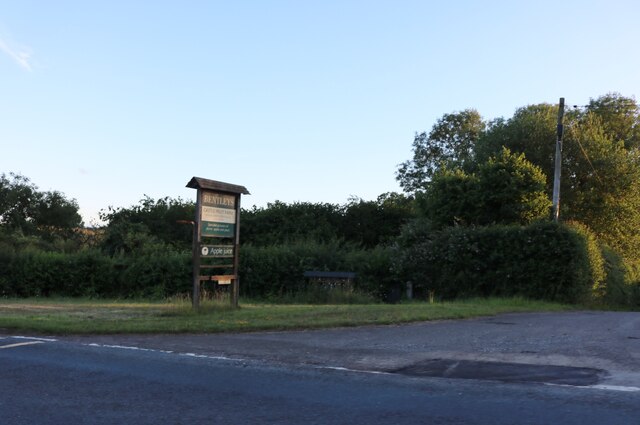
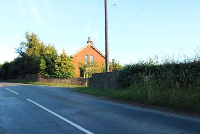
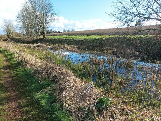
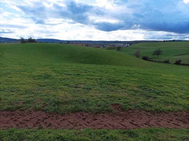
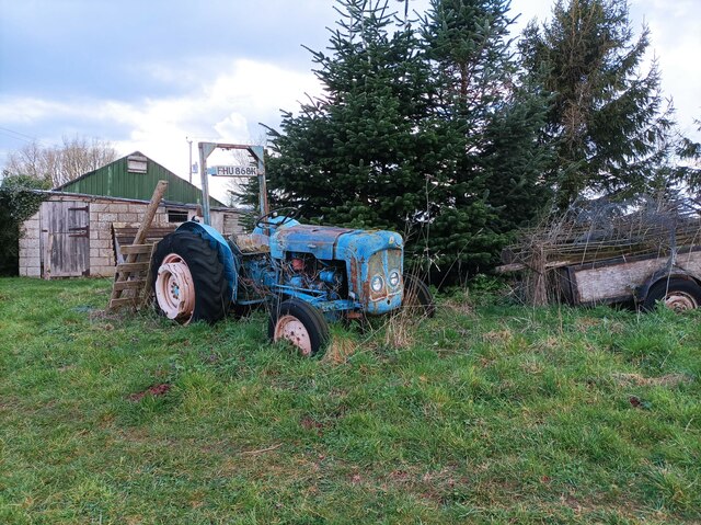
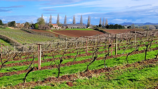
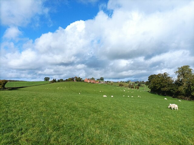
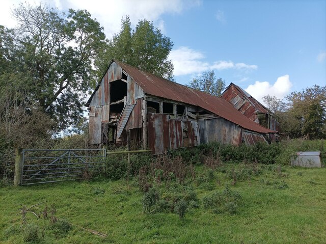
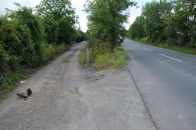
Colonels Grove Images

Images are sourced within 2km of 51.952748/-2.4413963 or Grid Reference SO6928. Thanks to Geograph Open Source API. All images are credited.

Three Choirs Vineyard The March clouds crowd the sky above the source of Three Choirs fortune.
Three Choirs Vineyard
The March clouds crowd the sky above the source of Three Choirs fortune.
Boyce Court Boyce Court viewed from the Daffodil Way.  The house was built in 1835 for Drummond family.  A fine looking Grade II listed early 19th century house beside a cedar tree.
Boyce Court
Boyce Court viewed from the Daffodil Way. The house was built in 1835 for Drummond family. A fine looking Grade II listed early 19th century house beside a cedar tree.
Oxenhall Canal Tunnel Southern Portal, 1979 A photograph taken in what looks to be fairly wintry conditions sometime in 1978/79.

It was in a pretty sorry state back then; work was undertaken to renovate it in the 90s (see David Stowell's picture here: <a title="https://www.geograph.org.uk/photo/3682" href="https://www.geograph.org.uk/photo/3682">Link</a> )  but it has, sadly, since fallen back into disrepair (John Winder's picture of 2011: <span class="nowrap"><a title="https://m.geograph.org.uk/photo/5997716" rel="nofollow ugc noopener" href="https://m.geograph.org.uk/photo/5997716">Link</a><img style="margin-left:2px;" alt="External link" title="External link - shift click to open in new window" src="https://s1.geograph.org.uk/img/external.png" width="10" height="10"/></span> )
Oxenhall Canal Tunnel Southern Portal, 1979
A photograph taken in what looks to be fairly wintry conditions sometime in 1978/79. It was in a pretty sorry state back then; work was undertaken to renovate it in the 90s (see David Stowell's picture here: Link ) but it has, sadly, since fallen back into disrepair (John Winder's picture of 2011: LinkExternal link )
The entrance to Bentleys Castle Farm on Dymock Road
Dymock Road south of Dymock
Disused canal The disused Herefordshire and Gloucestershire canal, north of Newent.
Disused canal
The disused Herefordshire and Gloucestershire canal, north of Newent.
Rolling hills A field with grassy rolling hills.
Rolling hills
A field with grassy rolling hills.
Old tractor A rusty blue tractor on the edge of a field.
Old tractor
A rusty blue tractor on the edge of a field.
Three Choirs vineyard The main buildings in the centre and a distant view of the Malvern Hills.
Three Choirs vineyard
The main buildings in the centre and a distant view of the Malvern Hills.
Holder's Farm and sheep field Holder's Farm, seen from the footpath through a sheep field.
Holder's Farm and sheep field
Holder's Farm, seen from the footpath through a sheep field.
Abandoned barn A seemingly abandoned, rusty barn in a field near the M50.
Abandoned barn
A seemingly abandoned, rusty barn in a field near the M50.
M50 underpass footpath A small tunnel leading under the M50, defaced with graffiti.
M50 underpass footpath
A small tunnel leading under the M50, defaced with graffiti.
B4215 bridge over M50 One of the more eye-catching bridge designs of bridges over the M50.  When the motorway was opened, some of the publicity celebrated that each overbridge was different, though this was partly aesthetic design, partly engineering needs.
B4215 bridge over M50
One of the more eye-catching bridge designs of bridges over the M50. When the motorway was opened, some of the publicity celebrated that each overbridge was different, though this was partly aesthetic design, partly engineering needs.
Electric vehicle charging station A development off the car park at Three Shires Garden Centre.
Electric vehicle charging station
A development off the car park at Three Shires Garden Centre.
Three Choirs Vineyard Winter pruned vines at Botloe's Green
Three Choirs Vineyard
Winter pruned vines at Botloe's Green
Three Choirs vineyard
Layby on the B4215 The layby on the left used to be the original route of the B4215 until it was realigned when a bridge was built of the M50 motorway which was one of Britain's earliest motorways which opened in 1960.
Layby on the B4215
The layby on the left used to be the original route of the B4215 until it was realigned when a bridge was built of the M50 motorway which was one of Britain's earliest motorways which opened in 1960.
Show me another place!

Colonels Grove is located at Grid Ref: SO6928 (Lat: 51.952748, Lng: -2.4413963)

Administrative County: Gloucestershire

District: Forest of Dean

Police Authority: Gloucestershire

What 3 Words

///snow.easels.confining. Near Newent, Gloucestershire

Related Wikis

Gwen and Vera's Fields

Gwen and Vera's Fields (grid reference SO696277) is a 0.28-hectare (0.69-acre) nature reserve in Gloucestershire.The site, which consists of two separate...

Dymock Woods SSSI

Dymock Woods (grid reference SO684288, SO692290, SO697283) is a 53-hectare (130-acre) biological Site of Special Scientific Interest in Gloucestershire...

Ledbury and Gloucester Railway

The Ledbury and Gloucester Railway, (also known as the Daffodil Line), was a railway line in Herefordshire and Gloucestershire, England, running between...

Pauntley

Pauntley is a village and civil parish in the district of Forest of Dean, Gloucestershire, England. In 2019 it had a population of 304. == School == Pauntley...

Related Videos

Out gor a walk

Walking in the woods.

Swing into the Holidays: Sibling Owners' Merry Christmas Song at Newent Golf Club in Gloucestershire

"Dive into the festive fairways with our uproarious Christmas golf anthem! ⛳ Join us, the dynamic brother-sister duo, as we tee ...

LFI Christmas Message 2022

A very Merry Christmas from everyone at LFI - the UK's market-leading manufacturer of ladders, step ladders, mobile scaffold ...

Nearby Amenities

Located within 500m of 51.952748,-2.4413963
Four Oaks
Historic Railway: halt
Railway: site
Wikidata: Q5475410
Wikipedia: en:Four Oaks Halt railway station
Lat/Long: 51.9547248/-2.4415301
Barrier: kissing_gate
Lat/Long: 51.9509821/-2.4410035
Bus Stop
Woodview
Naptan AtcoCode: 1600GL2057
Naptan Bearing: SW
Naptan CommonName: Woodview
Naptan NaptanCode: gloamdwg
Naptan Street: Hillend Green Rd
Naptan Verified: no
Source: naptan_import
Lat/Long: 51.9538713/-2.4455552
Bus Stop
Woodview
Naptan AtcoCode: 1600GL2058
Naptan Bearing: E
Naptan CommonName: Woodview
Naptan Indicator: Opp
Naptan NaptanCode: gloamdwj
Naptan Street: Hillend Green Rd
Naptan Verified: no
Source: naptan_import
Lat/Long: 51.9540069/-2.4453528
Phone
Emergency: phone
Source: survey
Lat/Long: 51.9571548/-2.4418741
Post Box
Collection Times: Mo-Fr 16:20; Sa 09:30
Post Box Type: wall
Ref: GL18 54
Royal Cypher: VR
Royal Cypher Wikidata: Q33102356
Lat/Long: 51.9539401/-2.4442349
Barrier: kissing_gate
Lat/Long: 51.9568465/-2.4438308
Power: pole
Lat/Long: 51.9495562/-2.4463208
Greenaways
Power: pole
Transformer: distribution
Voltage Primary: 11000
Lat/Long: 51.9500886/-2.4465582
Power: pole
Lat/Long: 51.9507283/-2.4463946
Power: pole
Lat/Long: 51.9513582/-2.4462403
Four Oaks
Power: pole
Transformer: distribution
Voltage Primary: 11000
Lat/Long: 51.9535307/-2.4452915
Power: pole
Lat/Long: 51.9523244/-2.4459936
Power: pole
Lat/Long: 51.9532704/-2.4457274
Lower Grange
Power: pole
Transformer: distribution
Voltage Primary: 11000
Lat/Long: 51.9548693/-2.4396113
Power: pole
Lat/Long: 51.9551817/-2.4394852
Location Transition: yes
Power: pole
Lat/Long: 51.9553482/-2.4394248
Power: pole
Lat/Long: 51.9555958/-2.4386524
Power: pole
Lat/Long: 51.9558197/-2.4379416
Power: pole
Lat/Long: 51.9560479/-2.4372214
Four Oaks
Place: hamlet
Lat/Long: 51.9539924/-2.4455416
Fixme: incomplete
Lat/Long: 51.9537251/-2.4422796
Barrier: stile
Lat/Long: 51.9541921/-2.4415171
Barrier: kissing_gate
Lat/Long: 51.9545494/-2.4419481
Board Type: geography
Information: board
Tourism: information
Lat/Long: 51.9539257/-2.4437745
The data included in this document is from www.openstreetmap.org. The data is made available under ODbL.

Have you been to Colonels Grove?

Leave your review of Colonels Grove below (or comments, questions and feedback).