Bushy Grove

Wood, Forest in Gloucestershire Stroud

England

Bushy Grove

Old Milestone by B4066, Berkeley Heath The Milestone is located in front of Field View on verge on the South of the road.  Parish of Berkeley (Stroud District). Carved stone post, erected by the Berkley & Dursley (Division) turnpike trust in the 19C Century, Minor chips on edges. An earlier photograph can be found here: <a title="https://www.geograph.org.uk/photo/6098469" href="https://www.geograph.org.uk/photo/6098469">Link</a> 

Inscription reads:-  
TO / (BERKELEY) / 1 / MILE  

Milestone Society National ID: GL_BKDY01
Old Milestone by B4066, Berkeley Heath Credit: Roadside Relics

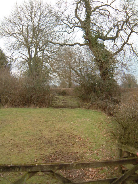
Bushy Grove is a picturesque woodland located in Gloucestershire, England. This serene forest is nestled in the heart of the county, offering visitors a tranquil retreat away from the hustle and bustle of urban life. Covering an area of approximately 100 acres, Bushy Grove is renowned for its stunning natural beauty and diverse range of flora and fauna.

The woodland is predominantly composed of deciduous trees, including oak, beech, and birch, which create a dense and vibrant canopy throughout the forest. The forest floor is adorned with a rich carpet of mosses, ferns, and wildflowers, providing a delightful sight for nature enthusiasts and photographers alike.

One of the key attractions of Bushy Grove is its extensive network of walking trails. These well-maintained pathways wind their way through the forest, allowing visitors to explore the enchanting woodlands at their own pace. The trails vary in length and difficulty, catering to both leisurely strolls and more challenging hikes.

Wildlife thrives in Bushy Grove, and visitors often catch glimpses of various bird species, including woodpeckers and owls. The forest is also home to a diverse range of mammals, such as deer, foxes, and rabbits. Nature enthusiasts can often spot these creatures in their natural habitat, making Bushy Grove a popular destination for wildlife watching.

Overall, Bushy Grove in Gloucestershire is a haven for those seeking solace in nature. Its lush woodlands, scenic trails, and abundant wildlife make it an ideal destination for outdoor enthusiasts, hikers, and anyone looking to escape into the beauty of the natural world.

If you have any feedback on the listing, please let us know in the comments section below.
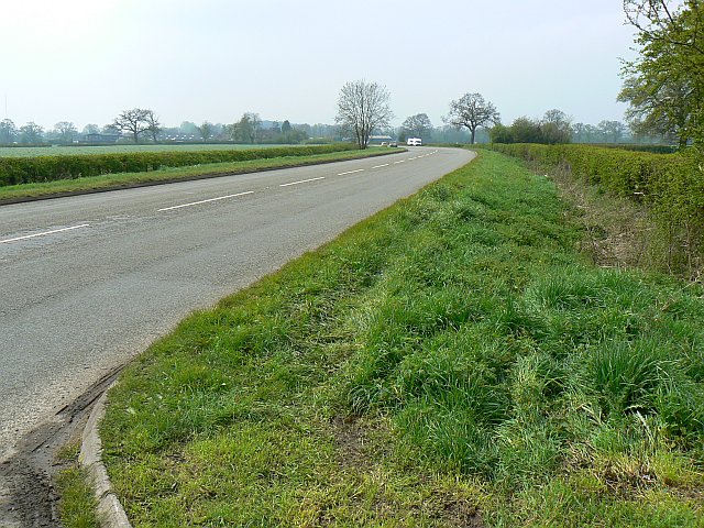
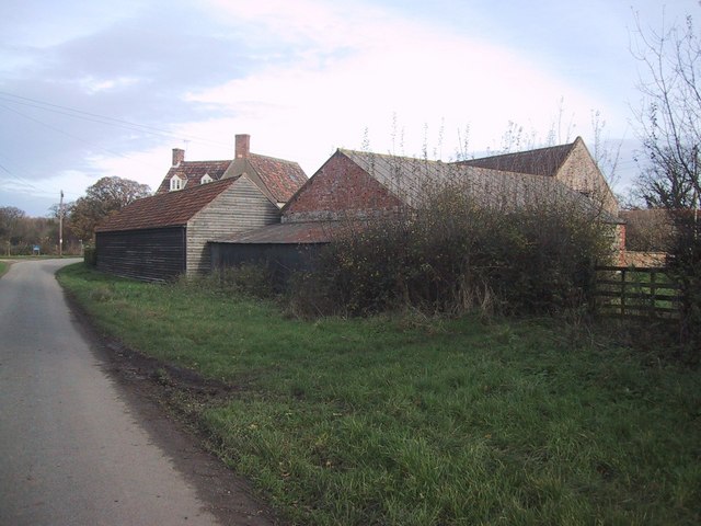
Bushy Grove Images

Images are sourced within 2km of 51.705414/-2.4391285 or Grid Reference SO6900. Thanks to Geograph Open Source API. All images are credited.

Old Milestone by B4066, Berkeley Heath The Milestone is located in front of Field View on verge on the South of the road.  Parish of Berkeley (Stroud District). Carved stone post, erected by the Berkley & Dursley (Division) turnpike trust in the 19C Century, Minor chips on edges. An earlier photograph can be found here: <a title="https://www.geograph.org.uk/photo/6098469" href="https://www.geograph.org.uk/photo/6098469">Link</a> 

Inscription reads:-  
TO / (BERKELEY) / 1 / MILE  

Milestone Society National ID: GL_BKDY01
Old Milestone by B4066, Berkeley Heath
The Milestone is located in front of Field View on verge on the South of the road.  Parish of Berkeley (Stroud District). Carved stone post, erected by the Berkley & Dursley (Division) turnpike trust in the 19C Century, Minor chips on edges. An earlier photograph can be found here: Link  Inscription reads:- TO / (BERKELEY) / 1 / MILE Milestone Society National ID: GL_BKDY01
Breadstone (Glos) St Michael's Church Scheduled for demolition after closure in 2000, the church still lingered on in March 2005.
Breadstone (Glos) St Michael's Church
Scheduled for demolition after closure in 2000, the church still lingered on in March 2005.
Berkeley Heath Section of grazing land sandwiched between the A38 and its intersection with the B4066 opposite Pickwick Farm.
Berkeley Heath
Section of grazing land sandwiched between the A38 and its intersection with the B4066 opposite Pickwick Farm.
Pool Farm, Halmore Looking northwards on Slimbridge Lane, the aptly named Pool Farm is on the left.
Pool Farm, Halmore
Looking northwards on Slimbridge Lane, the aptly named Pool Farm is on the left.
Manor Farm, Breadstone This partly mediaeval house is approached through rusticated 18th century gate piers with enormous ball finials.
Manor Farm, Breadstone
This partly mediaeval house is approached through rusticated 18th century gate piers with enormous ball finials.
Breadstone House This charming early Victorian house is viewed from the road. It is now a Residential Home for the elderly.
Breadstone House
This charming early Victorian house is viewed from the road. It is now a Residential Home for the elderly.
Green Lane This public footpath crosses the square diagonally from north-west to south-east. This view is as the path leaves the road in the top north-western corner of the square, just south of Halmore and heads south-east to Breadstone.
Green Lane
This public footpath crosses the square diagonally from north-west to south-east. This view is as the path leaves the road in the top north-western corner of the square, just south of Halmore and heads south-east to Breadstone.
Toll house, Berkeley Heath
A38, near Berkeley Road Berkeley Road is a little further on in the direction of view. The viewpoint was a convenient gateway to a small BT exchange.
A38, near Berkeley Road
Berkeley Road is a little further on in the direction of view. The viewpoint was a convenient gateway to a small BT exchange.
A38, near Berkeley Road The A38 carries relatively little traffic nowadays as it has largely been superseded by the M5. Carry on in the direction of view for about three kilometres and you will arrive at one of the English Newports.
A38, near Berkeley Road
The A38 carries relatively little traffic nowadays as it has largely been superseded by the M5. Carry on in the direction of view for about three kilometres and you will arrive at one of the English Newports.
Farmland near Berkeley Heath
Postbox at the entrance to Berkeley Castle
Barn Complex at Pool Farm
The road to Breadstone at dusk Wintry trees silhouetted against the late December sky.
The road to Breadstone at dusk
Wintry trees silhouetted against the late December sky.
Berkeley Hospital This 18th century Georgian building on Maybrook Street has been Berkeley Hospital since 1877.
Berkeley Hospital
This 18th century Georgian building on Maybrook Street has been Berkeley Hospital since 1877.
Primary school in Berkeley
Almshouses, Maybrook Street, Berkeley The engraved stone on the end wall of this almshouses informs that they were built in memory of Francis, Second Baron Fitzhardinge, by his wife, Georgina, Lady Fitzhardinge in 1899.
Almshouses, Maybrook Street, Berkeley
The engraved stone on the end wall of this almshouses informs that they were built in memory of Francis, Second Baron Fitzhardinge, by his wife, Georgina, Lady Fitzhardinge in 1899.
Police Station and Petty Sessional Court, Berkeley The Police Station and Petty Sessional Court on Canonbury Street, Berkeley, was built in 1861.
Police Station and Petty Sessional Court, Berkeley
The Police Station and Petty Sessional Court on Canonbury Street, Berkeley, was built in 1861.
Show me another place!

Bushy Grove is located at Grid Ref: SO6900 (Lat: 51.705414, Lng: -2.4391285)

Administrative County: Gloucestershire

District: Stroud

Police Authority: Gloucestershire

What 3 Words

///deep.pine.trinkets. Near Berkeley, Gloucestershire

Related Wikis

Hamfallow

Hamfallow is a civil parish in the district of Stroud, Gloucestershire. There is no village centre, the parish consists of farms and hamlets such as Abwell...

Berkeley railway station

Berkeley railway station served the town of Berkeley in Gloucestershire, England. The station was on the Sharpness Branch Line, part of the Midland Railway...

Wanswell

Wanswell is a village in the civil parish of Hamfallow, in the Stroud district, in Gloucestershire, England. It lies 1.2 miles (1.9 km) north of the small...

Berkeley Town Hall

Berkeley Town Hall is a municipal building in Salter Street, Berkeley, Gloucestershire, England. The structure, which is now used as a community events...

Nearby Amenities

Located within 500m of 51.705414,-2.4391285
Power: tower
Source: bing
Lat/Long: 51.7067845/-2.4447515
Power: tower
Source: bing
Lat/Long: 51.7083676/-2.4420221
Power: tower
Source: Bing
Lat/Long: 51.7096893/-2.4397086
Power: pole
Lat/Long: 51.709188/-2.4398714
Power: pole
Lat/Long: 51.7080645/-2.4416256
Power: pole
Lat/Long: 51.706911/-2.4434227
Power: pole
Lat/Long: 51.7057342/-2.445209
Power: pole
Lat/Long: 51.701286/-2.4376854
Power: pole
Lat/Long: 51.7013292/-2.4361163
The data included in this document is from www.openstreetmap.org. The data is made available under ODbL.

Have you been to Bushy Grove?

Leave your review of Bushy Grove below (or comments, questions and feedback).