Bracken Hill Wood
Wood, Forest in Yorkshire Ribble Valley
England
Bracken Hill Wood

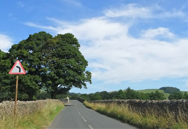
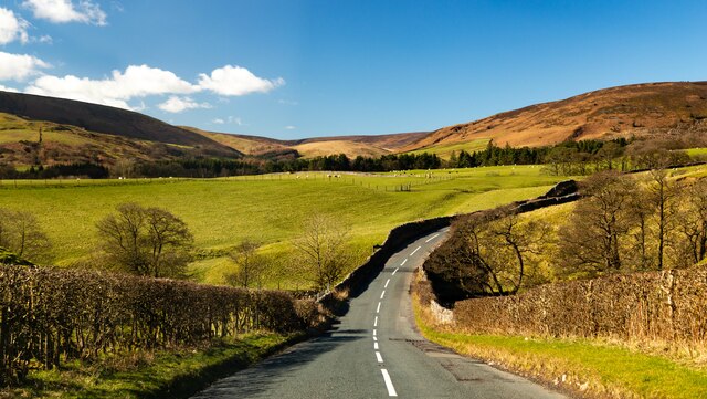
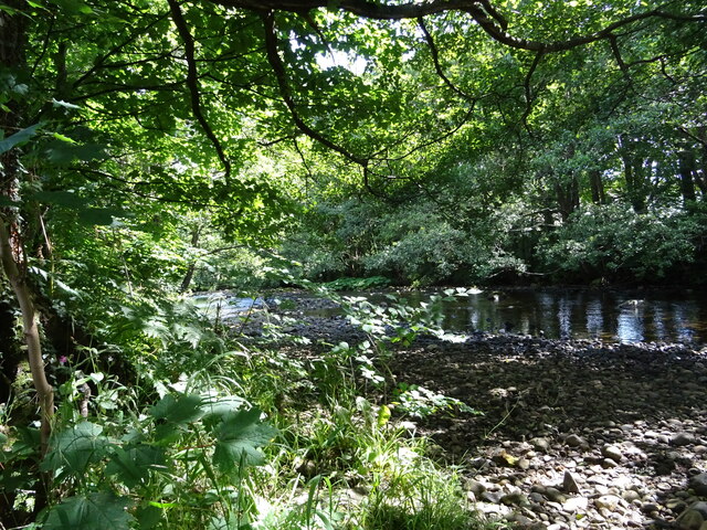
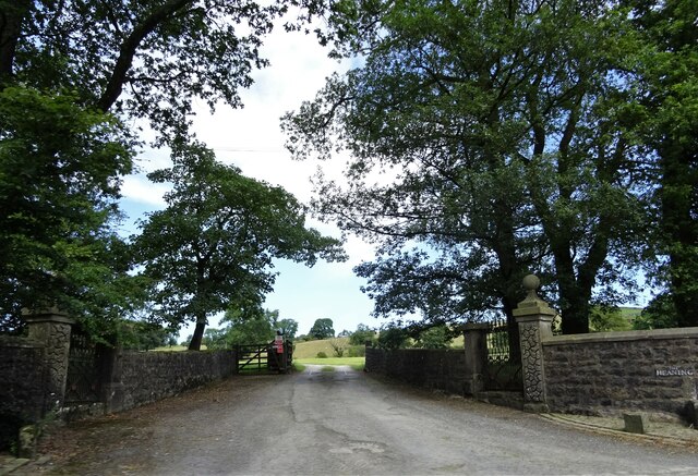
Bracken Hill Wood is a picturesque woodland located in the county of Yorkshire, England. Nestled within the rolling hills and lush green landscapes, this enchanting forest covers an area of approximately 100 acres. It is a haven for nature enthusiasts and wildlife lovers alike.
The wood is characterized by its dense canopy of towering trees, primarily consisting of oak, beech, and ash. These majestic trees provide shelter and a rich habitat for a diverse range of flora and fauna. Bluebells, wild garlic, and ferns carpet the forest floor, creating a magical atmosphere during the springtime.
Traversing through the wood, visitors can explore a network of well-maintained footpaths and trails, allowing them to fully immerse themselves in the beauty of nature. The peaceful ambiance is only interrupted by the sweet melodies of birdsong echoing through the trees.
Bracken Hill Wood is also home to a variety of wildlife. Deer, foxes, and badgers are often spotted roaming freely, while smaller creatures such as squirrels and rabbits scamper amongst the undergrowth. Birdwatchers can delight in the sighting of woodpeckers, jays, and numerous species of songbirds.
The wood is managed by a dedicated team of conservationists who work tirelessly to maintain its natural beauty. They ensure the delicate balance of the ecosystem is preserved, allowing visitors to enjoy a truly authentic woodland experience.
Overall, Bracken Hill Wood is a treasured gem in Yorkshire, offering a tranquil escape from the bustling city life. Its natural beauty, diverse wildlife, and well-maintained trails make it a perfect destination for nature enthusiasts and those seeking solace in the embrace of nature.
If you have any feedback on the listing, please let us know in the comments section below.
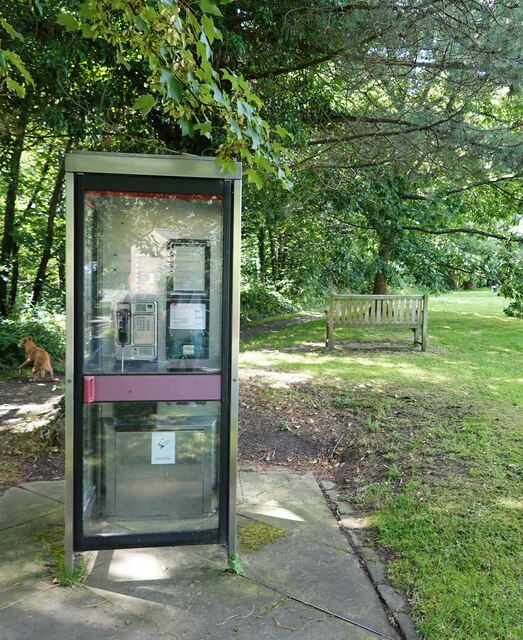
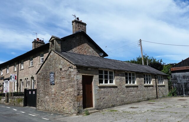
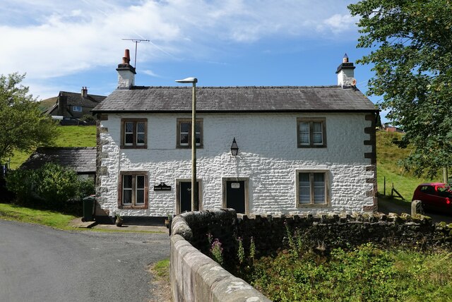
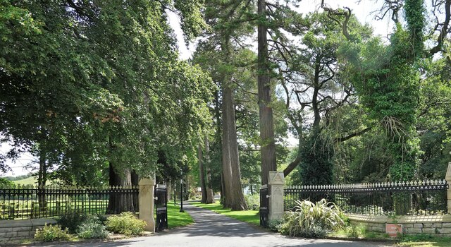
Bracken Hill Wood Images
Images are sourced within 2km of 53.942677/-2.5011121 or Grid Reference SD6749. Thanks to Geograph Open Source API. All images are credited.
Bracken Hill Wood is located at Grid Ref: SD6749 (Lat: 53.942677, Lng: -2.5011121)
Division: West Riding
Administrative County: Lancashire
District: Ribble Valley
Police Authority: Lancashire
What 3 Words
///risen.nicer.named. Near Waddington, Lancashire
Nearby Locations
Related Wikis

River Dunsop
The River Dunsop is a river in the Forest of Bowland in Northern England. It flows into the River Hodder at Dunsop Bridge.It begins at the confluence of...

Langden Brook
Langden Brook is a watercourse in the Trough of Bowland, Lancashire, England. A tributary of the River Hodder, its source is near the summit of Hawthornthwaite...

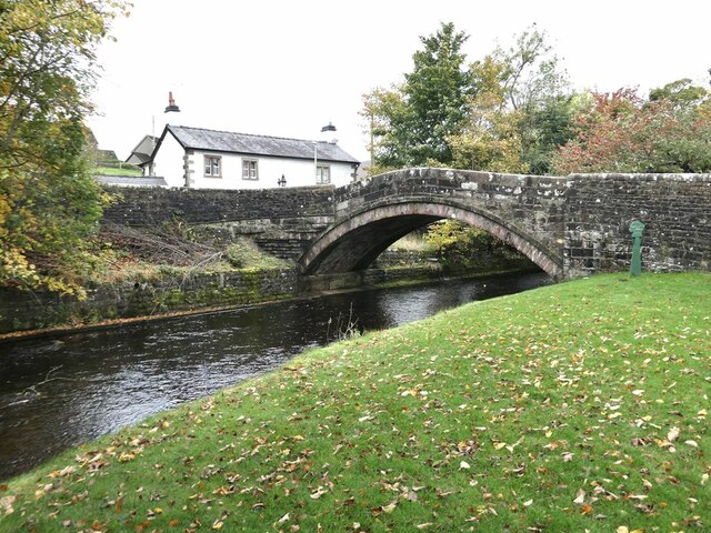
Dunsop Bridge (structure)
Dunsop Bridge is a bridge in the English village of the same name. The structure, which dates to the early 19th century, crosses the River Dunsop. A Grade...

Bowland Forest High
Bowland Forest High is a civil parish in the Ribble Valley district of Lancashire, England, covering some 20,000 acres (80 km2) of the Forest of Bowland...

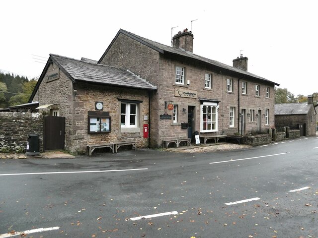
Dunsop Bridge
Dunsop Bridge is a village in the civil parish of Bowland Forest High, in the borough of Ribble Valley, Lancashire, England, 9 miles (14 km) north-west...

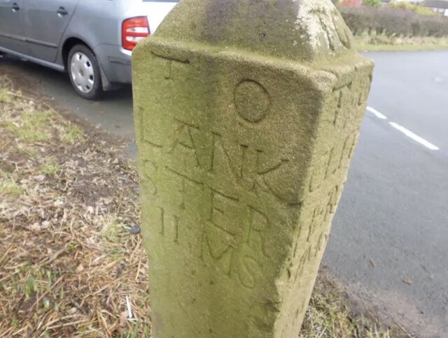
Bowland Forest High milestone
The Bowland Forest High milestone is an historic milestone marker in the English parish of Bowland Forest High, in the Trough of Bowland, Lancashire. A...

Newton-in-Bowland
Newton or Newton-in-Bowland is a village and civil parish in the Ribble Valley district, in the county of Lancashire, England, formerly known as Newton...

Whitewell Hotel
Whitewell Hotel is an historic building in the English parish of Bowland Forest Low, Lancashire. It is Grade II listed, built in 1836, and is in sandstone...
Nearby Amenities
Located within 500m of 53.942677,-2.5011121Have you been to Bracken Hill Wood?
Leave your review of Bracken Hill Wood below (or comments, questions and feedback).