Fell End Wood
Wood, Forest in Yorkshire Ribble Valley
England
Fell End Wood

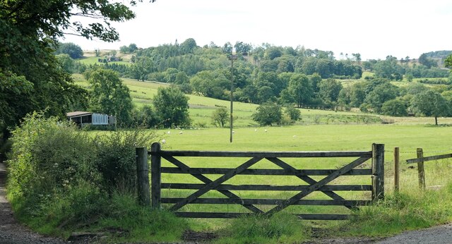
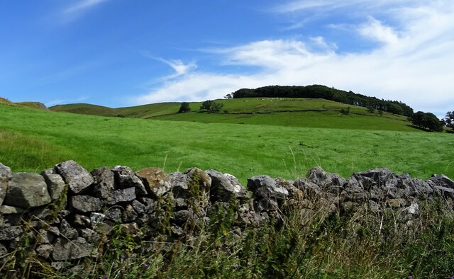
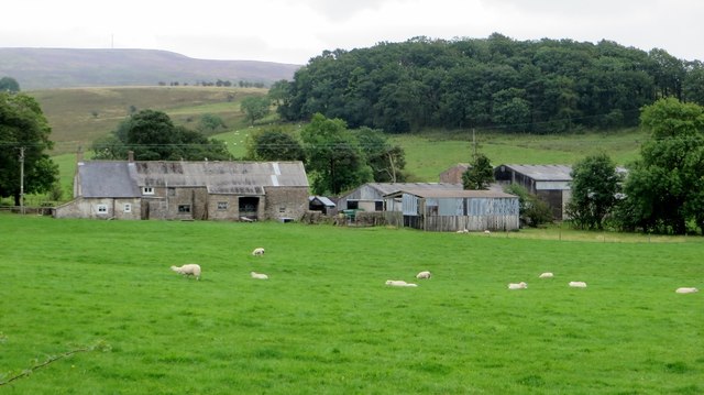
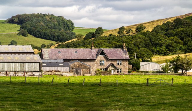
Fell End Wood is a picturesque woodland located in Yorkshire, England. Covering an area of approximately 100 acres, it is nestled in the heart of the Yorkshire Dales National Park, making it a popular destination for nature enthusiasts and hikers.
The wood is known for its diverse flora and fauna, with a wide range of tree species including oak, ash, birch, and beech. The forest floor is carpeted with bluebells in the spring, creating a vibrant and colorful scene. The woodland also provides a habitat for various wildlife, including deer, badgers, and a variety of bird species, making it a haven for birdwatchers and wildlife photographers.
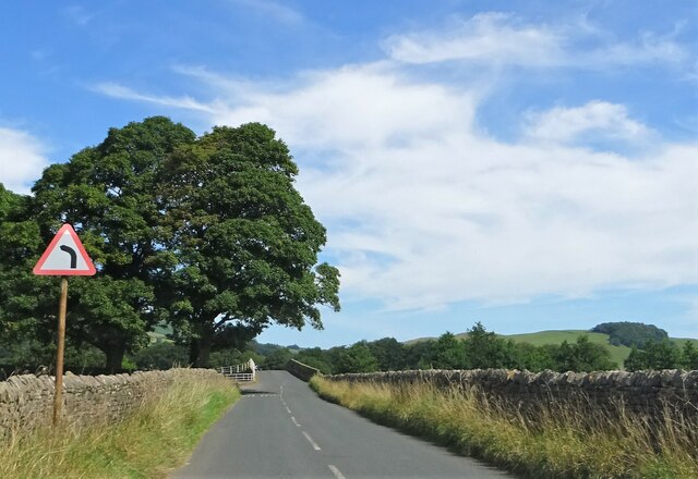
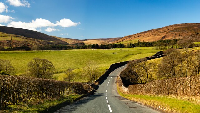
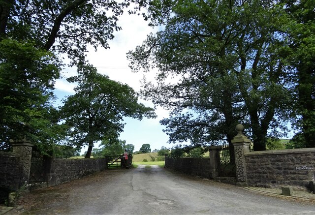
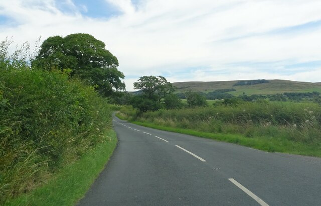
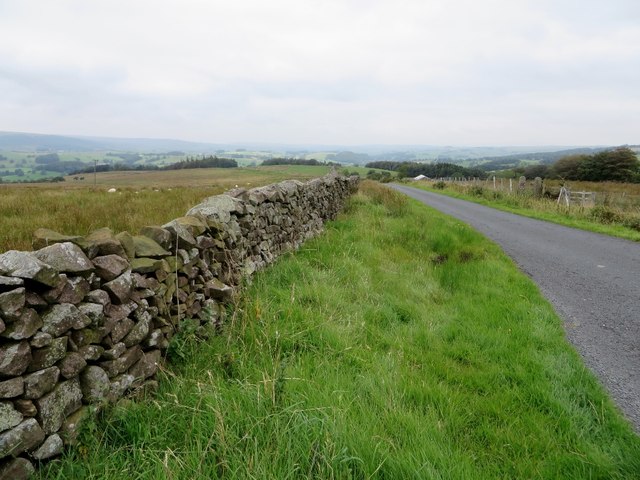
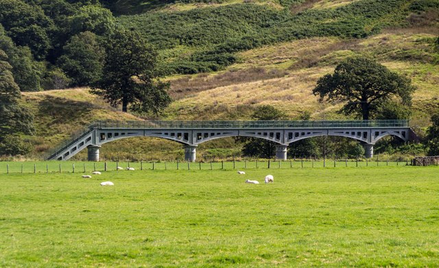
Visitors to Fell End Wood can enjoy a network of well-maintained trails that wind through the forest, providing opportunities for peaceful walks and leisurely strolls. These paths offer stunning views of the surrounding countryside, with rolling hills and meandering streams adding to the charm.
For those seeking a more adventurous experience, Fell End Wood also offers opportunities for mountain biking and horseback riding. The forest is crisscrossed with challenging trails that cater to different skill levels, ensuring there is something for everyone.
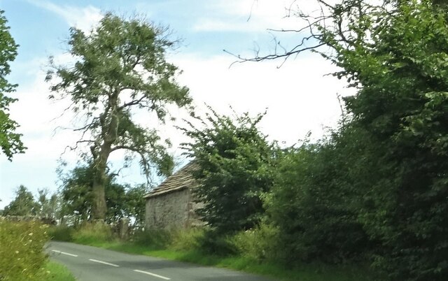
The woodland is easily accessible, with ample parking and well-signposted entrances. Additionally, there are picnic areas and benches scattered throughout the wood, allowing visitors to take a break and enjoy the tranquility of their surroundings.
Overall, Fell End Wood is a captivating natural gem within the Yorkshire Dales, providing a peaceful retreat and an opportunity to immerse oneself in the beauty of nature.
If you have any feedback on the listing, please let us know in the comments section below.
Fell End Wood Images
Images are sourced within 2km of 53.936283/-2.4911955 or Grid Reference SD6749. Thanks to Geograph Open Source API. All images are credited.


Fell End Wood is located at Grid Ref: SD6749 (Lat: 53.936283, Lng: -2.4911955)
Division: West Riding
Administrative County: Lancashire
District: Ribble Valley
Police Authority: Lancashire
What 3 Words
///victor.homelands.soccer. Near Waddington, Lancashire
Related Wikis

Langden Brook
Langden Brook is a watercourse in the Trough of Bowland, Lancashire, England. A tributary of the River Hodder, its source is near the summit of Hawthornthwaite...

River Dunsop
The River Dunsop is a river in the Forest of Bowland in Northern England. It flows into the River Hodder at Dunsop Bridge.It begins at the confluence of...

Dunsop Bridge (structure)
Dunsop Bridge is a bridge in the English village of the same name. The structure, which dates to the early 19th century, crosses the River Dunsop. A Grade...

Bowland Forest High
Bowland Forest High is a civil parish in the Ribble Valley district of Lancashire, England, covering some 20,000 acres (80 km2) of the Forest of Bowland...

Dunsop Bridge
Dunsop Bridge is a village in the civil parish of Bowland Forest High, in the borough of Ribble Valley, Lancashire, England, 9 miles (14 km) north-west...

Bowland Forest High milestone
The Bowland Forest High milestone is an historic milestone marker in the English parish of Bowland Forest High, in the Trough of Bowland, Lancashire. A...

Newton-in-Bowland
Newton or Newton-in-Bowland is a village and civil parish in the Ribble Valley district, in the county of Lancashire, England, formerly known as Newton...

Bowland Rural District
Bowland was a rural district in the West Riding of Yorkshire from 1894 to 1974. It was named after the Forest of Bowland, which it included. It was formed...
Nearby Amenities
Located within 500m of 53.936283,-2.4911955Have you been to Fell End Wood?
Leave your review of Fell End Wood below (or comments, questions and feedback).