Bracken Hill
Hill, Mountain in Yorkshire Ribble Valley
England
Bracken Hill
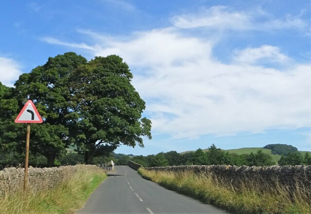
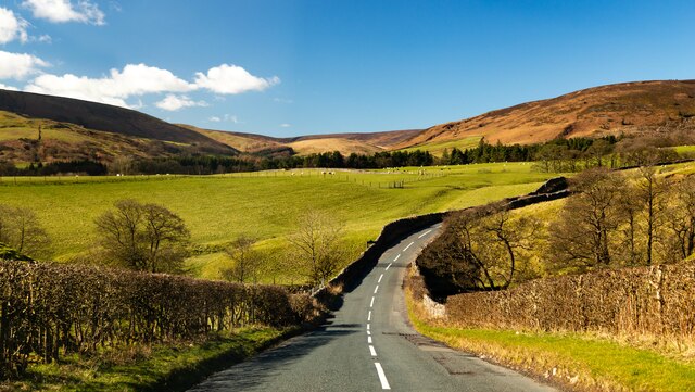
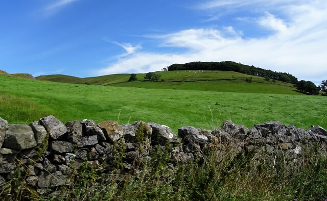
Bracken Hill is a picturesque hill located in the county of Yorkshire, England. Situated in the northern part of the county, it forms part of the Yorkshire Dales National Park. With an elevation of approximately 400 meters (1300 feet), it is classified as a hill rather than a mountain.
The hill is characterized by its rugged and undulating terrain, covered in a dense growth of bracken ferns from which it derives its name. Bracken Hill offers stunning panoramic views of the surrounding landscape, showcasing the rolling hills, lush green valleys, and quaint villages that Yorkshire is renowned for.
The area surrounding Bracken Hill is rich in biodiversity, with a variety of plant and animal species calling it home. The hillside is adorned with vibrant wildflowers during the spring and summer months, creating a colorful tapestry against the backdrop of the Yorkshire countryside.
A network of footpaths and trails crisscross the hill, providing ample opportunities for outdoor enthusiasts to explore and immerse themselves in nature. Hiking and walking are popular activities, allowing visitors to discover hidden valleys, ancient woodlands, and even remnants of historical sites.
Bracken Hill is not only appreciated for its natural beauty but also for its cultural significance. It has inspired numerous artists, writers, and poets throughout the years, who have captured its essence in their works. The hill also holds historical significance, with evidence of human habitation dating back thousands of years.
Overall, Bracken Hill is a captivating destination for nature lovers, offering a tranquil escape from the hustle and bustle of everyday life. Its natural beauty, diverse flora and fauna, and rich heritage make it a must-visit location for anyone exploring Yorkshire.
If you have any feedback on the listing, please let us know in the comments section below.
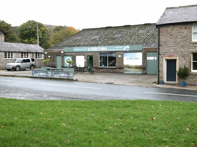
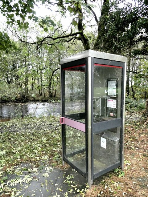
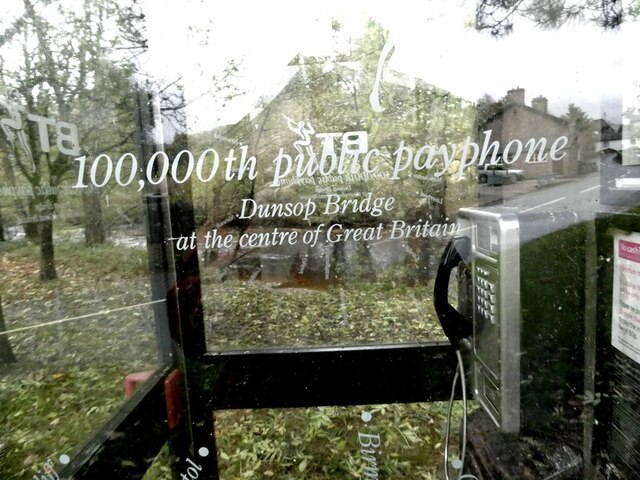
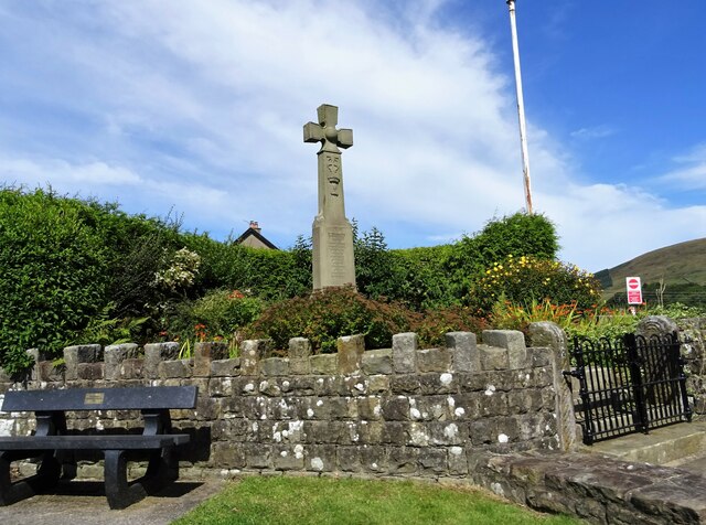
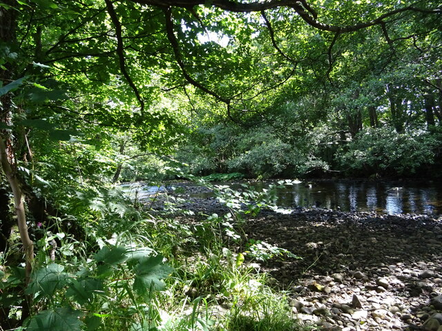
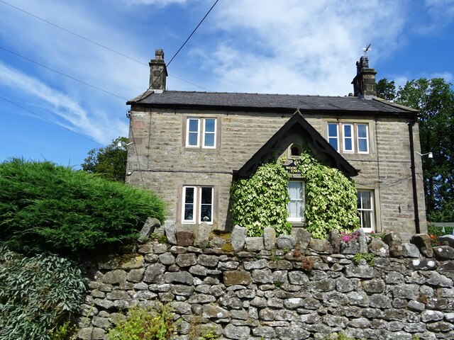
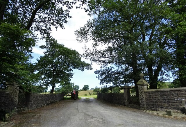
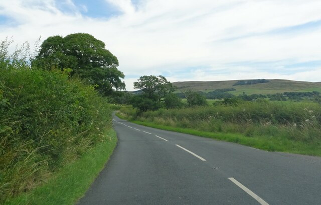
Bracken Hill Images
Images are sourced within 2km of 53.941637/-2.5027296 or Grid Reference SD6749. Thanks to Geograph Open Source API. All images are credited.
Bracken Hill is located at Grid Ref: SD6749 (Lat: 53.941637, Lng: -2.5027296)
Division: West Riding
Administrative County: Lancashire
District: Ribble Valley
Police Authority: Lancashire
What 3 Words
///thickens.renews.bumping. Near Waddington, Lancashire
Nearby Locations
Related Wikis

River Dunsop
The River Dunsop is a river in the Forest of Bowland in Northern England. It flows into the River Hodder at Dunsop Bridge.It begins at the confluence of...

Langden Brook
Langden Brook is a watercourse in the Trough of Bowland, Lancashire, England. A tributary of the River Hodder, its source is near the summit of Hawthornthwaite...

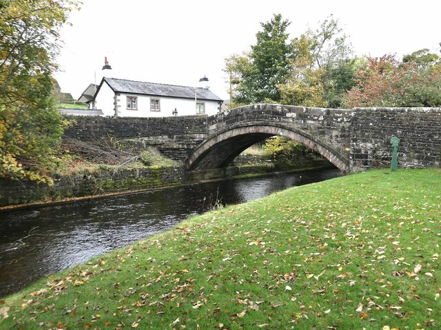
Dunsop Bridge (structure)
Dunsop Bridge is a bridge in the English village of the same name. The structure, which dates to the early 19th century, crosses the River Dunsop. A Grade...

Bowland Forest High
Bowland Forest High is a civil parish in the Ribble Valley district of Lancashire, England, covering some 20,000 acres (80 km2) of the Forest of Bowland...

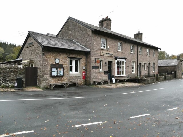
Dunsop Bridge
Dunsop Bridge is a village in the civil parish of Bowland Forest High, in the borough of Ribble Valley, Lancashire, England, 9 miles (14 km) north-west...

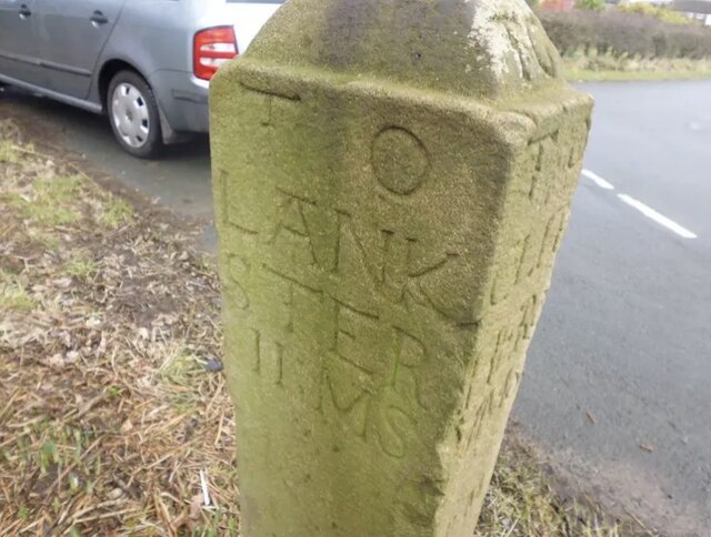
Bowland Forest High milestone
The Bowland Forest High milestone is an historic milestone marker in the English parish of Bowland Forest High, in the Trough of Bowland, Lancashire. A...

Newton-in-Bowland
Newton or Newton-in-Bowland is a village and civil parish in the Ribble Valley district, in the county of Lancashire, England, formerly known as Newton...

Whitewell Hotel
Whitewell Hotel is an historic building in the English parish of Bowland Forest Low, Lancashire. It is Grade II listed, built in 1836, and is in sandstone...
Nearby Amenities
Located within 500m of 53.941637,-2.5027296Have you been to Bracken Hill?
Leave your review of Bracken Hill below (or comments, questions and feedback).