Bowers Hill

Hill, Mountain in Gloucestershire Forest of Dean

England

Bowers Hill

Church of St Michael and All Angels, Mitcheldean A large parish church with origins stretching back to 14th century and showing subsequent changes and restorations the last being in the 19th century.
The importance of this church was recognised with Grade I listing dating all the way back to 1955 by English Heritage.
Church of St Michael and All Angels, Mitcheldean Credit: Colin Cheesman

Bowers Hill is a prominent hill located in the county of Gloucestershire, England. Situated within the beautiful Cotswold Area of Outstanding Natural Beauty, this hill is a popular destination for outdoor enthusiasts and nature lovers alike.

Rising to an elevation of approximately 287 meters (942 feet), Bowers Hill offers breathtaking panoramic views of the surrounding countryside. Its strategic location provides visitors with stunning vistas of rolling hills, lush green valleys, and picturesque villages that dot the landscape. On a clear day, it is possible to see as far as the Malvern Hills and even the Black Mountains of Wales.

The hill itself is predominantly covered in grass and is home to a diverse range of plant and animal species. It offers a peaceful escape from the hustle and bustle of city life, making it an ideal spot for picnics, walks, and photography. There are several walking trails that wind their way up the hill, allowing visitors to explore its natural beauty at their own pace.

Bowers Hill has a rich history, with evidence of human activity dating back thousands of years. Archaeological finds in the area include Iron Age settlements and Roman artifacts. The hill is also known for its association with the Cotswold Way, a long-distance walking trail that stretches for 102 miles across the Cotswolds.

Overall, Bowers Hill is a captivating destination that combines natural beauty, historical significance, and recreational opportunities. Its commanding position and stunning vistas make it a must-visit location for anyone exploring the Gloucestershire countryside.

If you have any feedback on the listing, please let us know in the comments section below.

Bowers Hill Images

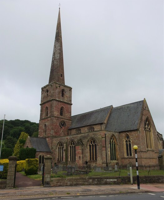
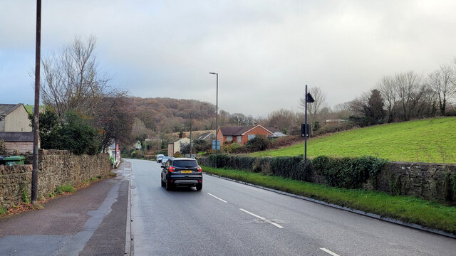
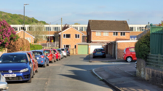
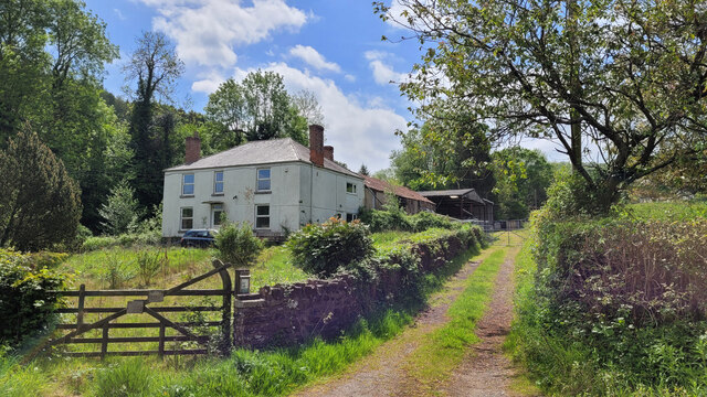
Images are sourced within 2km of 51.878029/-2.4794067 or Grid Reference SO6720. Thanks to Geograph Open Source API. All images are credited.

Church of St Michael and All Angels, Mitcheldean A large parish church with origins stretching back to 14th century and showing subsequent changes and restorations the last being in the 19th century.
The importance of this church was recognised with Grade I listing dating all the way back to 1955 by English Heritage.
Church of St Michael and All Angels, Mitcheldean
A large parish church with origins stretching back to 14th century and showing subsequent changes and restorations the last being in the 19th century. The importance of this church was recognised with Grade I listing dating all the way back to 1955 by English Heritage.
Cattle on hillside
Cattle on hillside
Rolling hills
Rolling hills
A4136 Gloucester Road, Mitcheldean A Sunday morning in December.
A4136 Gloucester Road, Mitcheldean
A Sunday morning in December.
Deansway Road, Mitcheldean The village housing is dominated by the former Rank Xerox buildings which are now a huge sprawling business park.
Deansway Road, Mitcheldean
The village housing is dominated by the former Rank Xerox buildings which are now a huge sprawling business park.
Bridleway by Marshes Farm The path is part of the Gloucestershire Way.
Bridleway by Marshes Farm
The path is part of the Gloucestershire Way.
Carisbrooke Road, Mitcheldean Two posh new bus shelters on the edge of the village.
Carisbrooke Road, Mitcheldean
Two posh new bus shelters on the edge of the village.
Toll House, Gloucester Road A Toll House, now an extension of Forest House. At the junction of Gloucester Road, Merrin Street, New Road and Abbenhall Road. Served Huntley and Mitcheldean Turnpike Trust.
In the wall next to the lamppost is the milestone see <a href="https://www.geograph.org.uk/photo/6035328">SO6618 : Old Milestone by the A4136, Gloucester Road, Mitcheldean</a>. Gloucestershire HER Nᴼ. 5863 see <span class="nowrap"><a title="https://www.heritagegateway.org.uk/Gateway/Results_Single.aspx?uid=5863&resourceID=108" rel="nofollow ugc noopener" href="https://www.heritagegateway.org.uk/Gateway/Results_Single.aspx?uid=5863&resourceID=108">Link</a><img style="margin-left:2px;" alt="External link" title="External link - shift click to open in new window" src="https://s1.geograph.org.uk/img/external.png" width="10" height="10"/></span>

Milestone Society National ID: GL.MDE01
Toll House, Gloucester Road
A Toll House, now an extension of Forest House. At the junction of Gloucester Road, Merrin Street, New Road and Abbenhall Road. Served Huntley and Mitcheldean Turnpike Trust. In the wall next to the lamppost is the milestone see SO6618 : Old Milestone by the A4136, Gloucester Road, Mitcheldean. Gloucestershire HER Nᴼ. 5863 see LinkExternal link Milestone Society National ID: GL.MDE01
Toll House, Townend The Old Pike House in Mitcheldean on the B4224. Originally guarding the Mitcheldean to Lea Turnpike, opened in 1769. Served Huntley and Mitcheldean Turnpike Trust.

Milestone Society National ID: GL.MDE02
Toll House, Townend
The Old Pike House in Mitcheldean on the B4224. Originally guarding the Mitcheldean to Lea Turnpike, opened in 1769. Served Huntley and Mitcheldean Turnpike Trust. Milestone Society National ID: GL.MDE02
Wayside Cross, Longhope In the churchyard, sitting on top of an inspection cover. This is probably the base of a wayside cross once located at SO 69207 18642 in front of what was, in the 1880s, the Plough Inn (long gone). 

There are more details in the Heritage Gateway site, but the data dates from 1970 when the cross may have been opposite the medieval site. See <span class="nowrap"><a title="https://www.heritagegateway.org.uk/Gateway/Results_Single.aspx?uid=6b1d3a87-8b8d-44ba-a26e-785cce394f5c&resourceID=19191" rel="nofollow ugc noopener" href="https://www.heritagegateway.org.uk/Gateway/Results_Single.aspx?uid=6b1d3a87-8b8d-44ba-a26e-785cce394f5c&resourceID=19191">Link</a><img style="margin-left:2px;" alt="External link" title="External link - shift click to open in new window" src="https://s1.geograph.org.uk/img/external.png" width="10" height="10"/></span>

Milestone Society National ID: GLFD_LON
Wayside Cross, Longhope
In the churchyard, sitting on top of an inspection cover. This is probably the base of a wayside cross once located at SO 69207 18642 in front of what was, in the 1880s, the Plough Inn (long gone). There are more details in the Heritage Gateway site, but the data dates from 1970 when the cross may have been opposite the medieval site. See LinkExternal link Milestone Society National ID: GLFD_LON
Memorial garden, Mitcheldean Being used by some of the younger members of the community on this sunny July afternoon.
Memorial garden, Mitcheldean
Being used by some of the younger members of the community on this sunny July afternoon.
Longhope Industrial Estate, 1 The vehicles here are to do with Longhope Motor Services.
Longhope Industrial Estate, 1
The vehicles here are to do with Longhope Motor Services.
Longhope Industrial Estate, 2 Longhope Motor Services in the centre of shot.
Longhope Industrial Estate, 2
Longhope Motor Services in the centre of shot.
Church Road, Longhope Looking north with Constance Court on the right and the entrance to Longhope Industrial Estate on the left.
Church Road, Longhope
Looking north with Constance Court on the right and the entrance to Longhope Industrial Estate on the left.
Hope Brook Primary School entrance Taken during the last few days of the summer holidays 2022.
Hope Brook Primary School entrance
Taken during the last few days of the summer holidays 2022.
Longhope Welding Company A business operating in the village for almost 50 years (2022).
Longhope Welding Company
A business operating in the village for almost 50 years (2022).
Napping Lane Looking from Church Road; a dead-end lane with several cul-de-sacs.
Napping Lane
Looking from Church Road; a dead-end lane with several cul-de-sacs.
Field in Longhope Longhope is a large straggling village with gaps for pasture fields like this one.
Field in Longhope
Longhope is a large straggling village with gaps for pasture fields like this one.
Show me another place!

Bowers Hill is located at Grid Ref: SO6720 (Lat: 51.878029, Lng: -2.4794067)

Administrative County: Gloucestershire

District: Forest of Dean

Police Authority: Gloucestershire

What 3 Words

///crank.cakes.meatball. Near Mitcheldean, Gloucestershire

Related Wikis

Boxbush

Boxbush is a village in Gloucestershire, England. == References ==

Mitcheldean Town Hall

Mitcheldean Town Hall is a municipal building in the High Street in Mitcheldean, Gloucestershire, England. The structure, which operates as the offices...

Land Grove Quarry, Mitcheldean

Land Grove Quarry, Mitcheldean (grid reference SO672185) is a 3.8-hectare (9.4-acre) geological Site of Special Scientific Interest in Gloucestershire...

Wigpool Ironstone Mine

Wigpool Ironstone Mine (grid reference SO654197) is a 34.88-hectare (86.2-acre) biological Site of Special Scientific Interest in Gloucestershire, notified...

Have you been to Bowers Hill?

Leave your review of Bowers Hill below (or comments, questions and feedback).