Acton's Rough
Wood, Forest in Cheshire
England
Acton's Rough
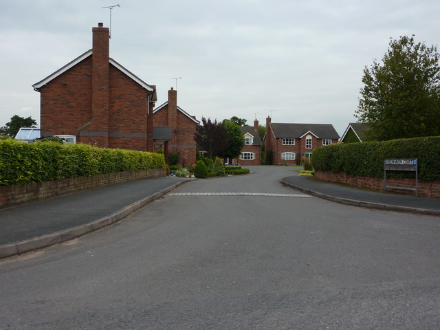
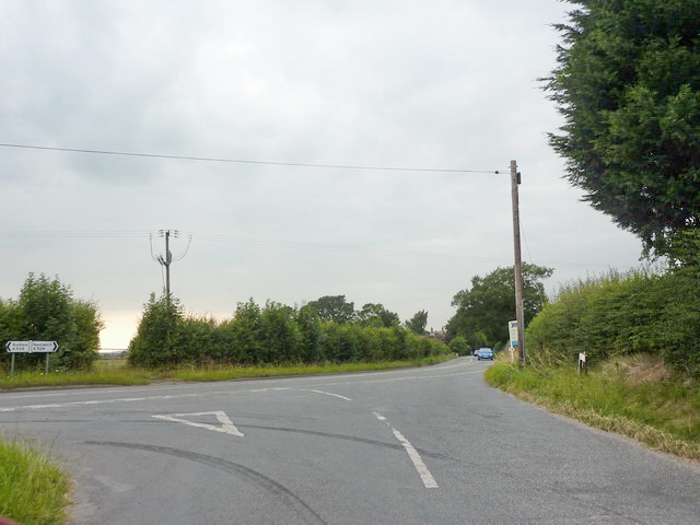
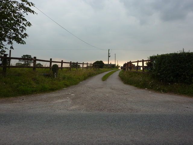
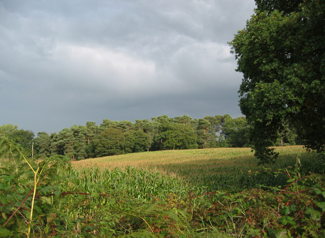
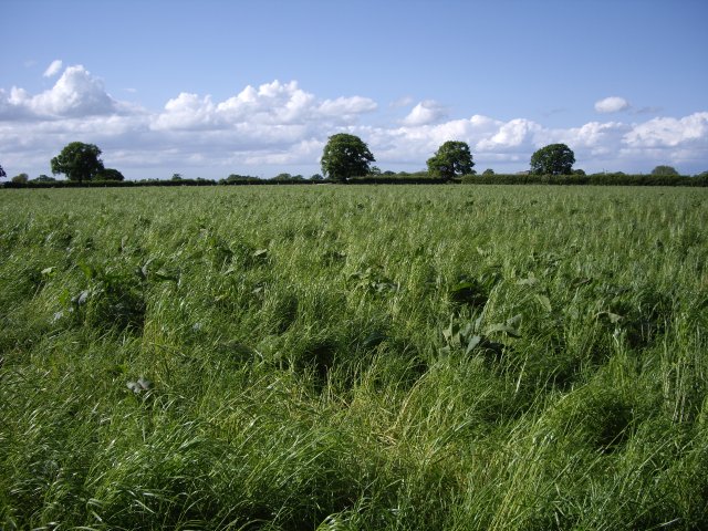
Acton's Rough, located in Cheshire, England, is a notable wooded area that forms part of a larger forested region. It is known for its natural beauty and diverse flora and fauna. The rough stretches across approximately 300 acres, making it a significant woodland in the area.
The rough consists mainly of deciduous trees, including oak, beech, and birch. These trees create a dense canopy, providing shade and shelter for the various plant and animal species that call the rough home. The forest floor is covered with a rich layer of leaf litter, supporting a wide range of plant life, such as bluebells, ferns, and mosses.
The area is a haven for wildlife, attracting numerous species throughout the year. Birdwatchers can spot various species, including woodpeckers, nuthatches, and owls. Mammals such as foxes, badgers, and deer are also known to inhabit the rough, making it a popular spot for nature enthusiasts.
Acton's Rough is open to the public, offering visitors a chance to explore the natural beauty and tranquility of the woodland. There are several walking trails and footpaths that wind through the area, allowing visitors to immerse themselves in the peaceful surroundings. The rough is well-maintained by local conservation organizations, ensuring its preservation for future generations to enjoy.
Overall, Acton's Rough is a cherished natural asset in Cheshire, providing a serene escape from the hustle and bustle of daily life. Its diverse ecosystem, scenic beauty, and accessibility make it a beloved destination for nature lovers and a valuable resource for the local community.
If you have any feedback on the listing, please let us know in the comments section below.
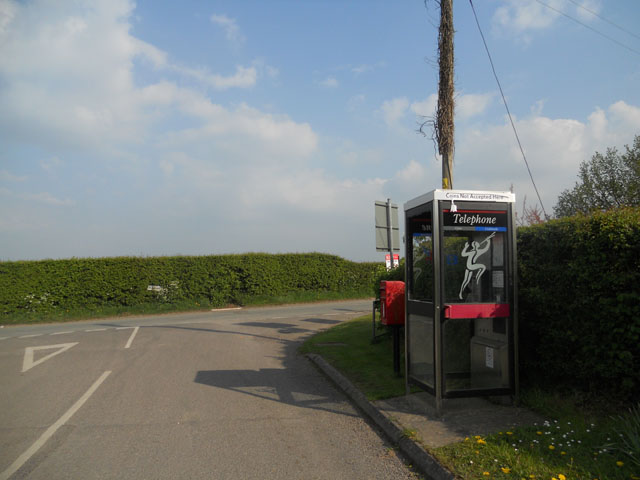
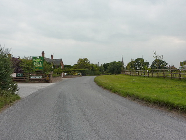
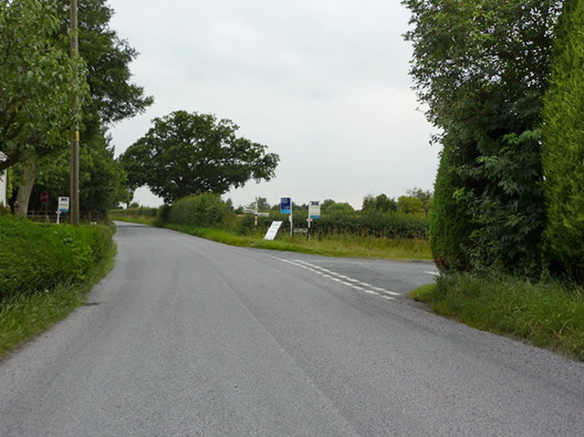
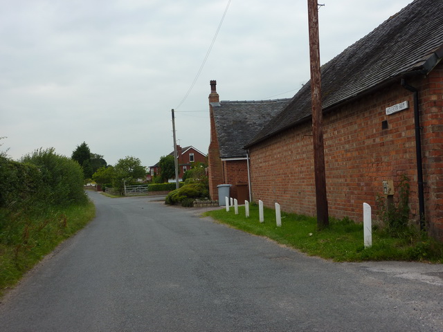
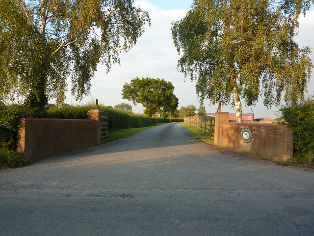
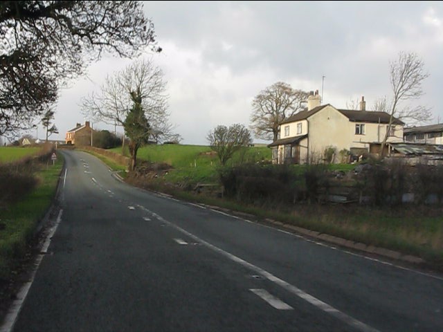
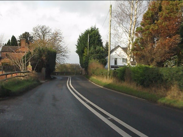
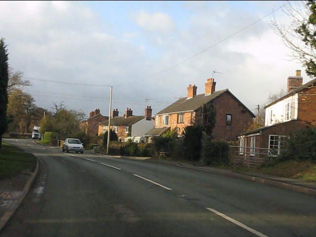
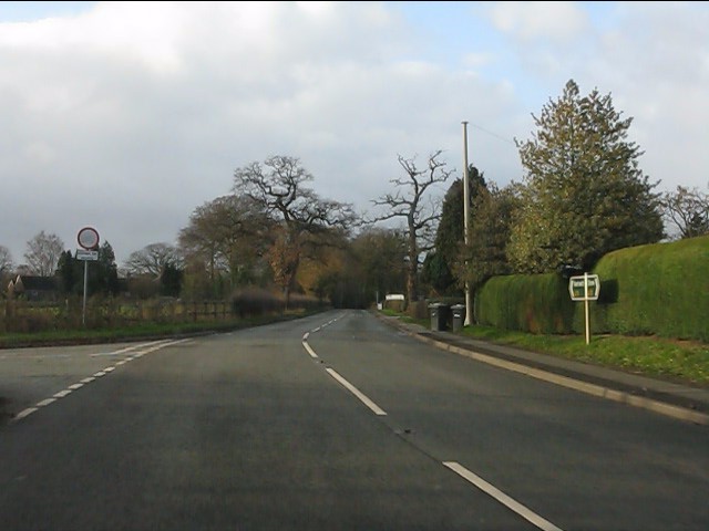
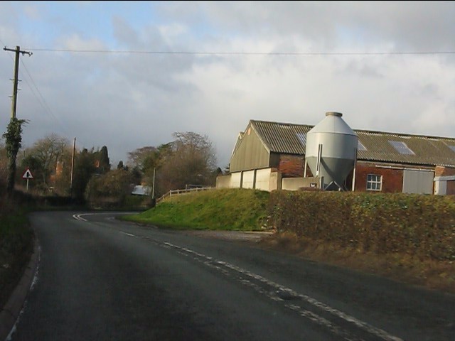
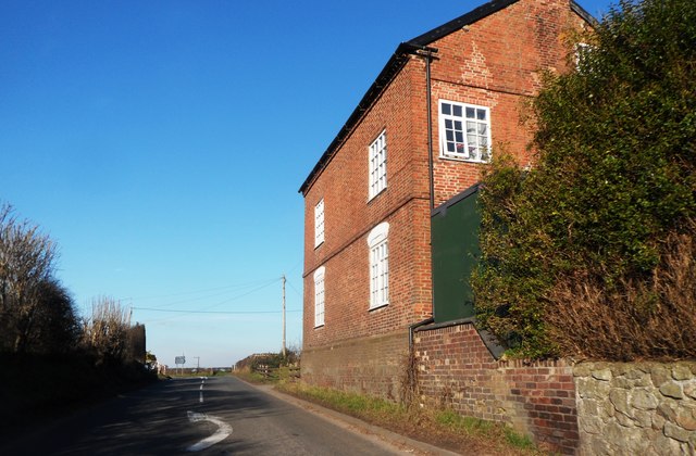
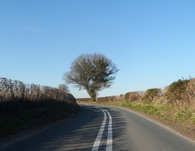
Acton's Rough Images
Images are sourced within 2km of 53.034278/-2.4906317 or Grid Reference SJ6748. Thanks to Geograph Open Source API. All images are credited.


Acton's Rough is located at Grid Ref: SJ6748 (Lat: 53.034278, Lng: -2.4906317)
Unitary Authority: Cheshire East
Police Authority: Cheshire
What 3 Words
///thinkers.bystander.juggle. Near Willaston, Cheshire
Nearby Locations
Related Wikis

Hatherton Flush
Hatherton Flush is a Site of Special Scientific Interest (SSSI) by the River Weaver in Hatherton, near Wybunbury, Cheshire, England. It is protected for...

Stapeley
Stapeley is a hamlet (at SJ675496) and former civil parish, now in the parish of Stapeley and District, in the unitary authority area of Cheshire East...

Austerson
Austerson is a civil parish in the unitary authority of Cheshire East and the ceremonial county of Cheshire, England, lying immediately south of the town...

Stapeley House
Stapeley House is a country house in London Road, Stapeley, Cheshire. The house is recorded in the National Heritage List for England as a designated...
Hatherton, Cheshire
Hatherton is a hamlet and civil parish in the unitary authority of Cheshire East and the ceremonial county of Cheshire, England. The hamlet is on the B5071...

Hankelow Hall
Hankelow Hall is a former country house to the north of the village of Hankelow, Cheshire, England. == History == The present house dates from the early...

Batherton
Batherton is a former civil parish, now in the parish of Stapeley and District, in the unitary authority area of Cheshire East and the ceremonial county...
Coole Pilate
Coole Pilate is a civil parish in the unitary authority of Cheshire East and the ceremonial county of Cheshire, England, which lies to the north of Audlem...
Related Videos

Freewell Quick Swap Polariser CPL
I was sent a CPL from Freewell a few weeks ago only just got out to play with it, i had no idea again but its defo a nice filter.

Charlie and the Sheep @ The Willows Touring Park - Nantwich
Charlie doesn't know what to think of our neighbours on our pitch, some sheep.

“The Soviet Threat” Hack Green Nuclear Bunker #shorts
fallout #fallout3 #fallout4 #falloutnewvegas #fallout76 #falloutmemes #falloutmeme #nukacola #pipboy #pipboy3000 ...

Most haunted place? #short #shortvideo #shorts #video
We took a trip to one of the most haunted places in England. Join us on our latest vlog over at the @CoasterChicken channel ...
Nearby Amenities
Located within 500m of 53.034278,-2.4906317Have you been to Acton's Rough?
Leave your review of Acton's Rough below (or comments, questions and feedback).