Hatherton
Settlement in Cheshire
England
Hatherton
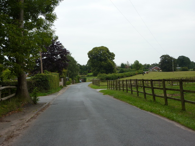
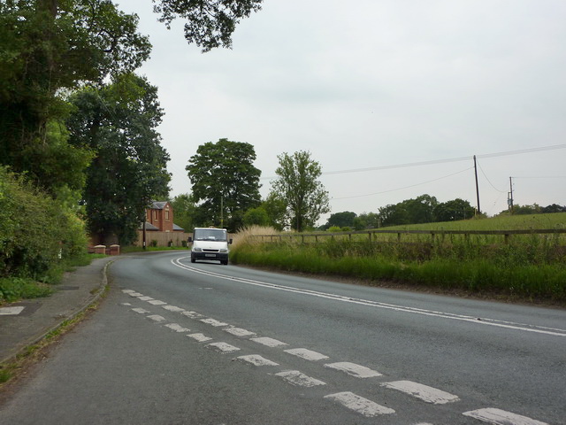
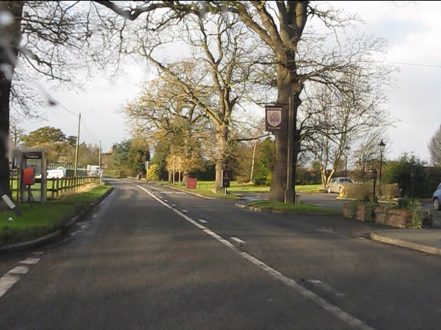
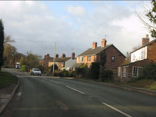
Hatherton is a small village located in the county of Cheshire in England. Situated approximately 3 miles south of Nantwich, it has a population of around 500 residents. The village is surrounded by picturesque countryside and offers a peaceful and rural setting.
Hatherton has a rich history, with evidence of human habitation dating back to the Bronze Age. The village is known for its historic buildings, including the Grade II listed St. Luke's Church, which dates back to the 18th century. The church features beautiful stained glass windows and a peaceful churchyard.
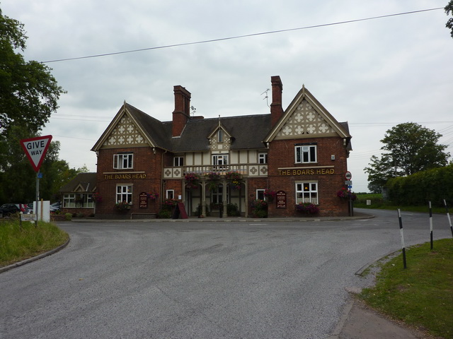
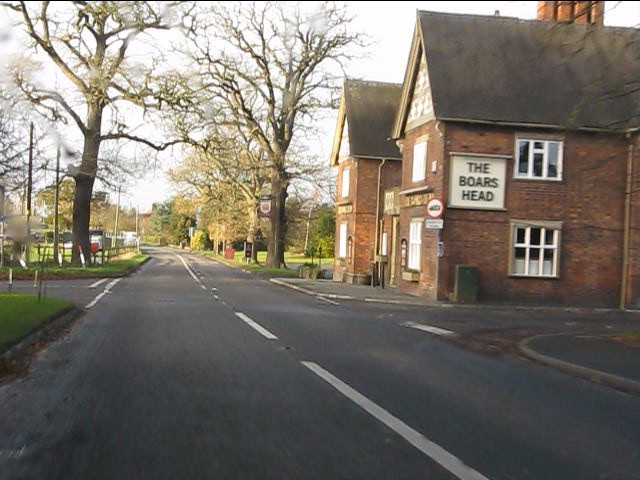
In terms of amenities, Hatherton has limited facilities. There is a local pub, The Leopard, which serves as a hub for the community and offers a welcoming atmosphere. Additionally, the village has a small primary school, providing education for the local children.
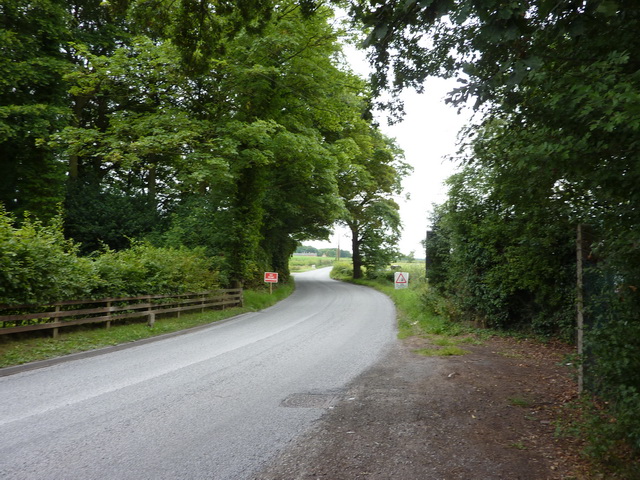
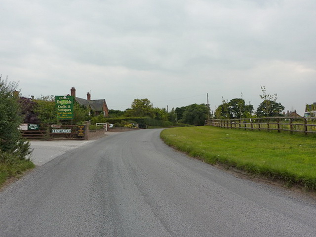
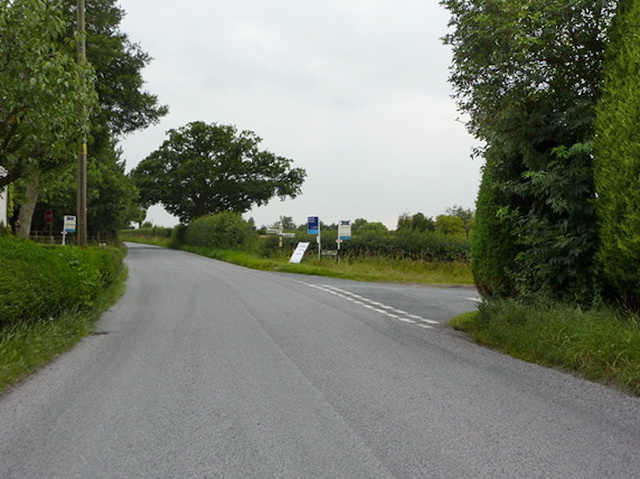
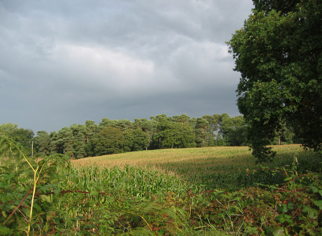
The surrounding countryside provides ample opportunities for outdoor activities, such as walking, cycling, and horse riding. Many visitors and locals enjoy exploring the nearby Hatherton Lake, which offers a tranquil spot for fishing and birdwatching.
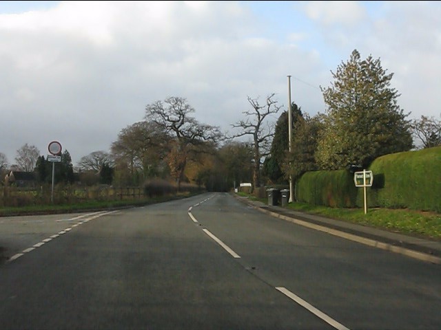
Hatherton is well-connected to nearby towns and cities. The village is a short drive from Nantwich, which offers a wider range of amenities, including shops, supermarkets, and leisure facilities. The M6 motorway is also easily accessible, providing convenient links to other parts of Cheshire and the wider region.
Overall, Hatherton is a charming village with a rich history and beautiful countryside surroundings, making it an attractive place to live or visit for those seeking a peaceful and rural setting.
If you have any feedback on the listing, please let us know in the comments section below.
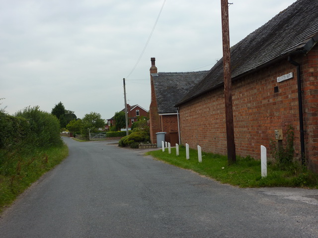
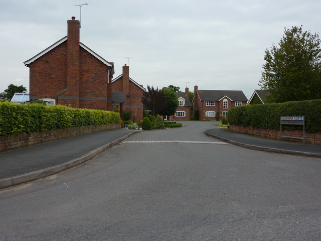
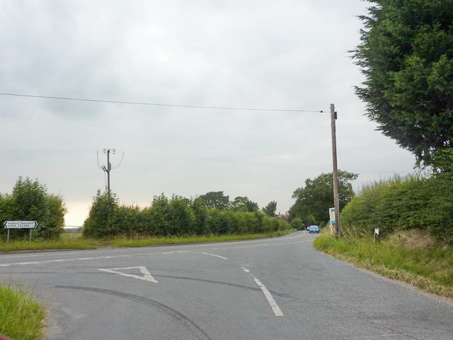
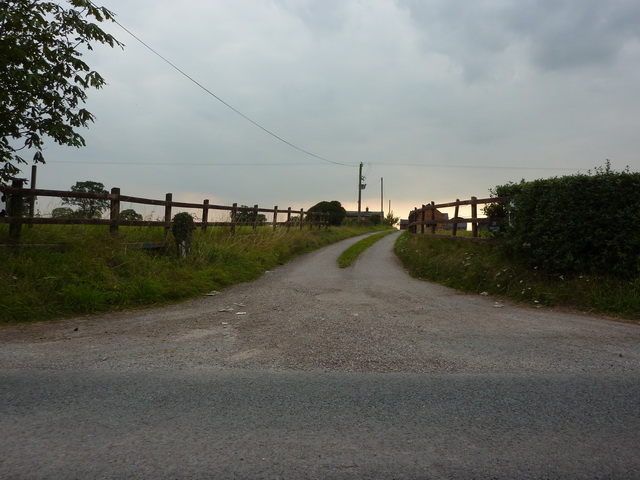
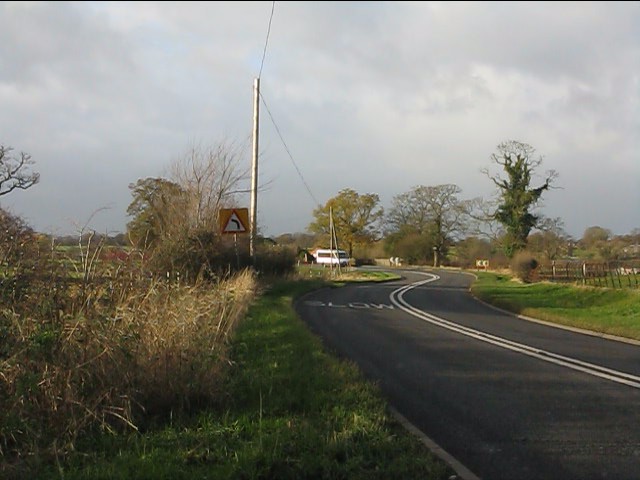
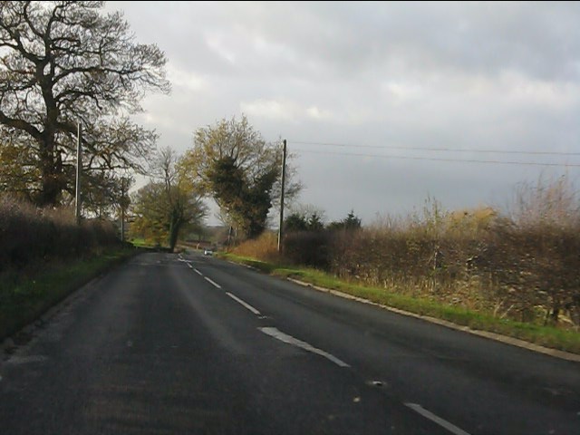
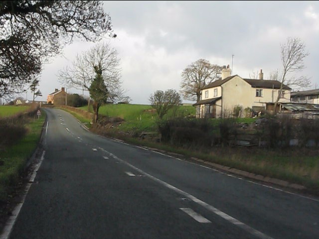
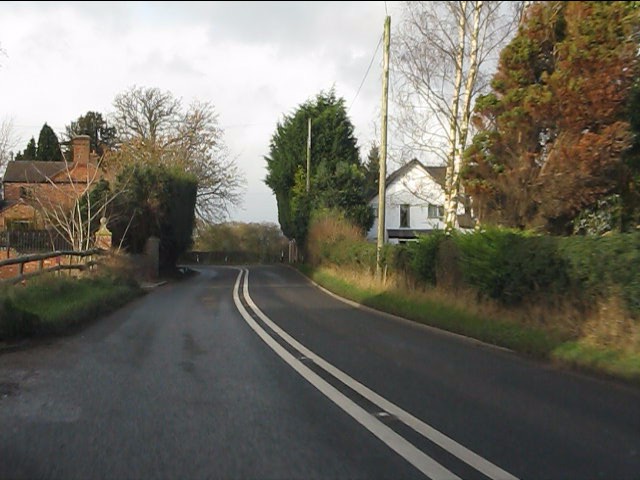
Hatherton Images
Images are sourced within 2km of 53.02896/-2.4786429 or Grid Reference SJ6748. Thanks to Geograph Open Source API. All images are credited.
Hatherton is located at Grid Ref: SJ6748 (Lat: 53.02896, Lng: -2.4786429)
Unitary Authority: Cheshire East
Police Authority: Cheshire
What 3 Words
///cobras.recruiter.shape. Near Willaston, Cheshire
Nearby Locations
Related Wikis

Hatherton Flush
Hatherton Flush is a Site of Special Scientific Interest (SSSI) by the River Weaver in Hatherton, near Wybunbury, Cheshire, England. It is protected for...
Hatherton, Cheshire
Hatherton is a hamlet and civil parish in the unitary authority of Cheshire East and the ceremonial county of Cheshire, England. The hamlet is on the B5071...

Stapeley
Stapeley is a hamlet (at SJ675496) and former civil parish, now in the parish of Stapeley and District, in the unitary authority area of Cheshire East...

South Cheshire Way
The South Cheshire Way is a 34-mile (55 km) long-distance footpath running east–west mainly through Cheshire, England, although parts lie in Shropshire...

Walgherton
Walgherton is a village and civil parish in the unitary authority of Cheshire East and the ceremonial county of Cheshire, England. The village lies at...

Hankelow Hall
Hankelow Hall is a former country house to the north of the village of Hankelow, Cheshire, England. == History == The present house dates from the early...

Stapeley House
Stapeley House is a country house in London Road, Stapeley, Cheshire. The house is recorded in the National Heritage List for England as a designated...

Wybunbury
Wybunbury is a village (at SJ698499) and civil parish in the unitary authority of Cheshire East and the ceremonial county of Cheshire, England. The village...
Related Videos

Hiking John O’ Groats to Land’s End | Daily Vlog | Day 42
Me and Di (my girlfriend) are hiking from John O' Groats to Land's End and wild camping all the way. This is a daily vlog of our ...

Wynbunbury Moss and Churchyard walk, Oct 2022. ASMR Walking
A quiet explore around the old churchyard and Moss in Wynbunbury, Cheshire.

Wybunbury, Cheshire - 1.5, 3.5 & 5 Mile Walk / Run | UK Trail Running Adventure TravelVlog
trailrunning #travelvlog #Cheshire Today we are in Wybunbury (pronounced Win-Bree). It's a lovely old Cheshire village located ...

Amazing longfin platinum angelfish. And more
These are the recent freshwater angelfish we have in stock here at Drop-Off Aquatics. Follow us on Facebook for more stock ...
Nearby Amenities
Located within 500m of 53.02896,-2.4786429Have you been to Hatherton?
Leave your review of Hatherton below (or comments, questions and feedback).