Thorney Copse
Wood, Forest in Somerset South Somerset
England
Thorney Copse
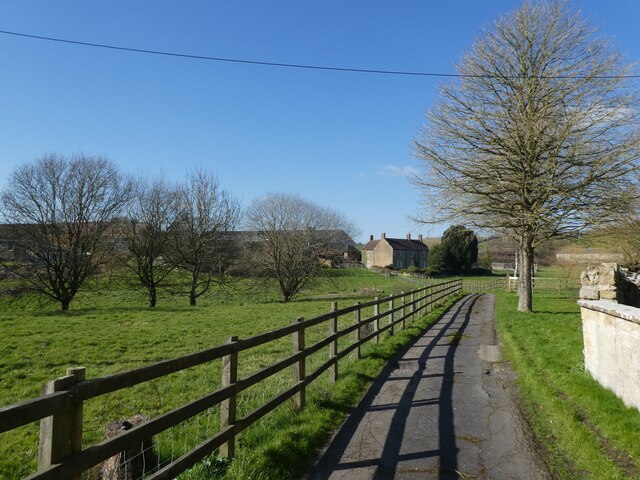
Thorney Copse, located in Somerset, England, is a charming woodland area nestled in the heart of the countryside. This enchanting forest covers an expansive area, spanning approximately 200 acres. It is a popular destination for nature enthusiasts, hikers, and those seeking tranquility away from the bustling city life.
The copse is predominantly composed of broadleaf trees, including oak, beech, and ash, which provide a diverse and vibrant canopy of foliage. These trees, along with an assortment of wildflowers and ferns, create a picturesque landscape that changes with the seasons. In spring, the forest floor is adorned with a colorful carpet of bluebells, while in autumn, the trees burst into fiery hues of red, orange, and gold.
Thorney Copse is also known for its rich biodiversity. The woodland is home to a variety of wildlife, including deer, badgers, foxes, and a multitude of bird species. It serves as a sanctuary for these creatures, providing them with a safe and natural habitat.
Visitors to Thorney Copse can explore numerous well-maintained walking trails that wind their way through the woods, offering breathtaking views and a chance to immerse oneself in the tranquility of nature. The copse is also equipped with picnic areas and benches, allowing visitors to relax and enjoy the peaceful surroundings.
In addition to its natural beauty, Thorney Copse has a fascinating history. It is believed to have been a hunting ground for the Saxons and has remnants of ancient earthworks that date back to the Iron Age.
Overall, Thorney Copse in Somerset is a haven of natural beauty, offering a serene escape from the modern world and a chance to connect with the wonders of the woodland environment.
If you have any feedback on the listing, please let us know in the comments section below.
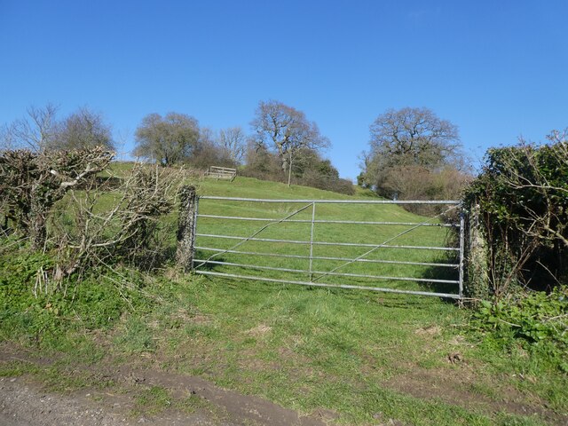
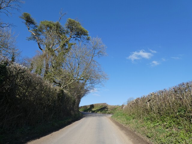
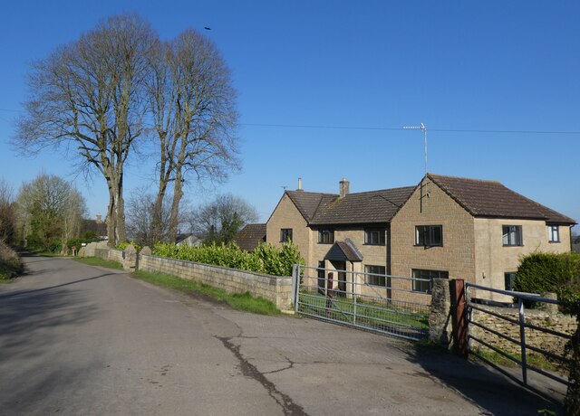
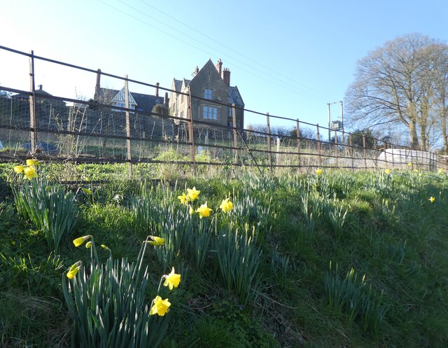
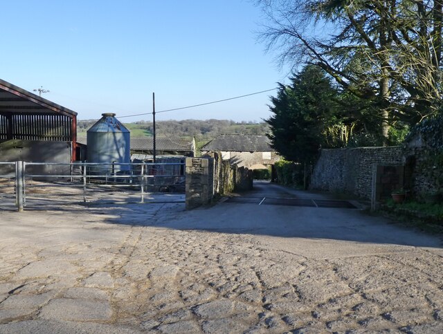
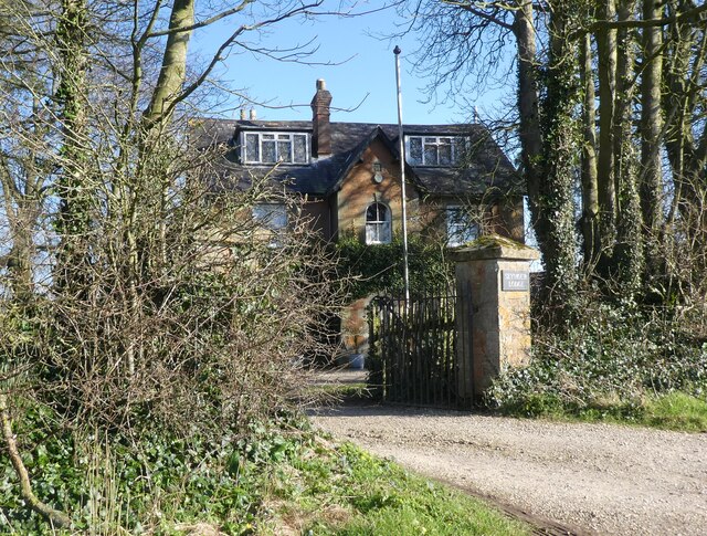
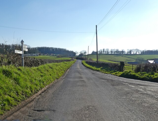
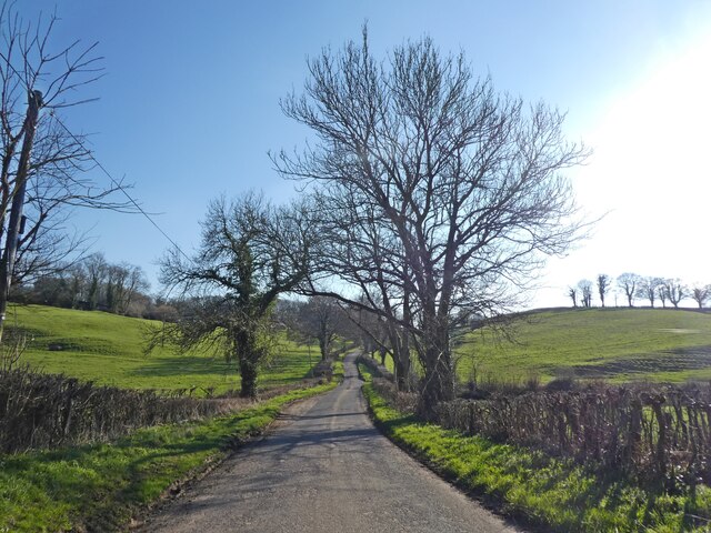
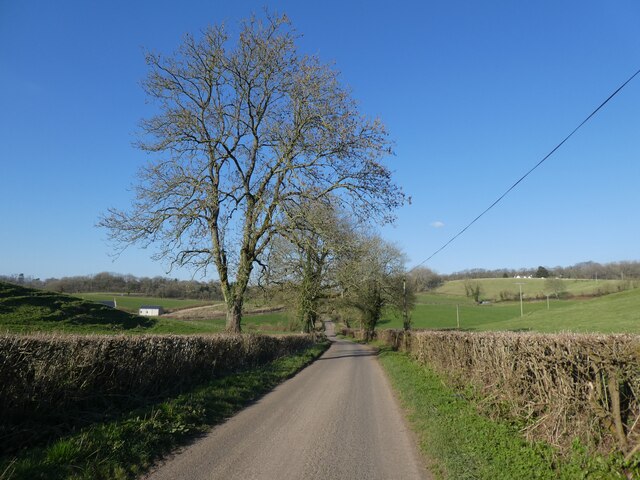
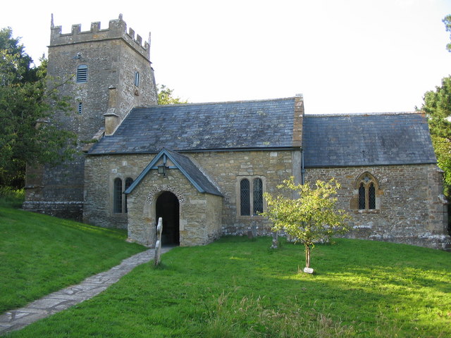
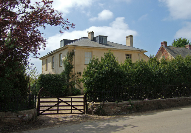
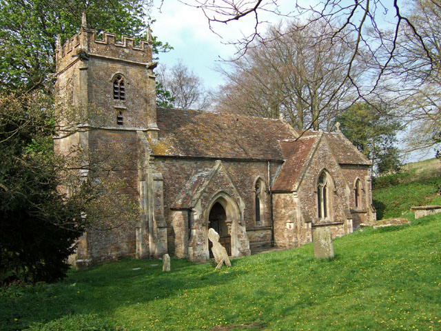
Thorney Copse Images
Images are sourced within 2km of 51.054026/-2.4694888 or Grid Reference ST6728. Thanks to Geograph Open Source API. All images are credited.
Thorney Copse is located at Grid Ref: ST6728 (Lat: 51.054026, Lng: -2.4694888)
Administrative County: Somerset
District: South Somerset
Police Authority: Avon and Somerset
What 3 Words
///footpath.sound.clustered. Near Wincanton, Somerset
Nearby Locations
Related Wikis
Bratton Seymour
Bratton Seymour is a village and civil parish in Somerset, England, situated on a tributary of the River Brue 4 miles (6.4 km) south-east of Castle Cary...
Woolston Manor
Woolston Manor was an estate that covered about 230 acres (93 ha) in Somerset, England. It included arable land and pasturage, worked by a tenant farmer...
Church of St Nicholas, Bratton Seymour
The Anglican Church of St Nicholas in Bratton Seymour, Somerset, England, was built in the 13th century. It is a Grade II* listed building. == History... ==
Maperton
Maperton is a village and civil parish in Somerset, England, situated 3 miles (4.8 km) south west of Wincanton in the South Somerset district. The village...
Church of St Mary, Yarlington
The Anglican Church of St Mary in Yarlington, Somerset, England was built in the 11th century. It is a Grade II* listed building. == History == The church...
Yarlington
Yarlington is a village and civil parish, near the source of the River Cam, in the English county of Somerset. Administratively, Yarlington shares a parish...
Church of St Nicholas, Holton
The Anglican Church of St Nicholas in Holton, Somerset, England was built in the 14th century. It is a Grade II* listed building. == History == The church...
Holton, Somerset
Holton is a village (or hamlet) and parish in Somerset, England, situated on the A303 road 2 miles (3.2 km) south west of Wincanton in the South Somerset...
Have you been to Thorney Copse?
Leave your review of Thorney Copse below (or comments, questions and feedback).
