Rainbow Plantation
Wood, Forest in Westmorland Eden
England
Rainbow Plantation
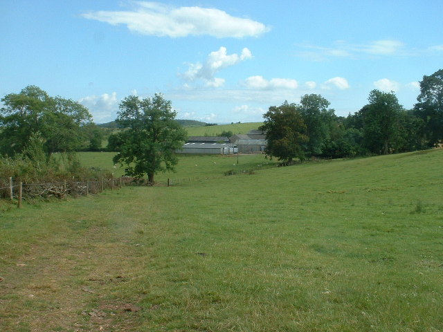
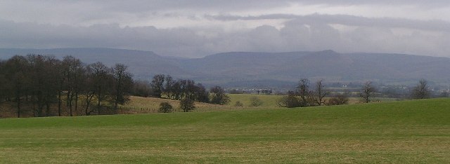
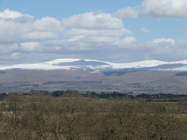
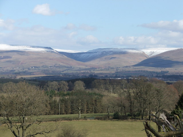
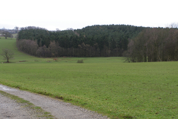
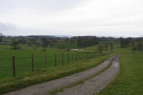
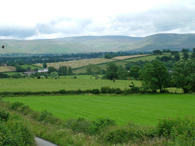
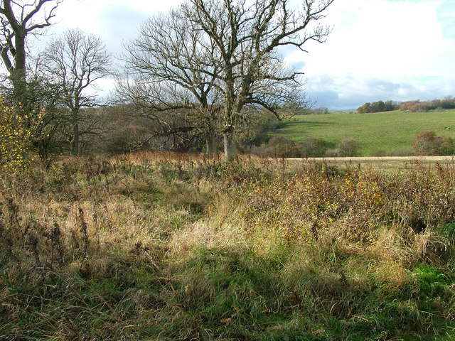
Rainbow Plantation is a picturesque and idyllic woodland located in the Westmorland region of England. Situated amidst the rolling hills and lush greenery, this enchanting forest is a haven for nature lovers and outdoor enthusiasts. Spanning over a vast area, Rainbow Plantation is known for its rich biodiversity and stunning natural beauty.
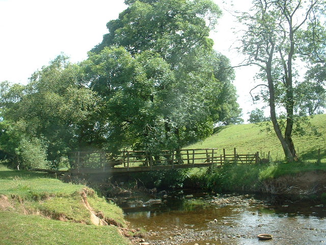
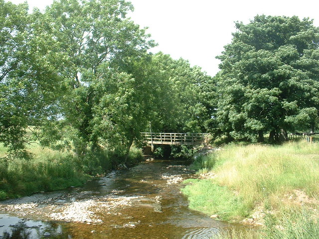
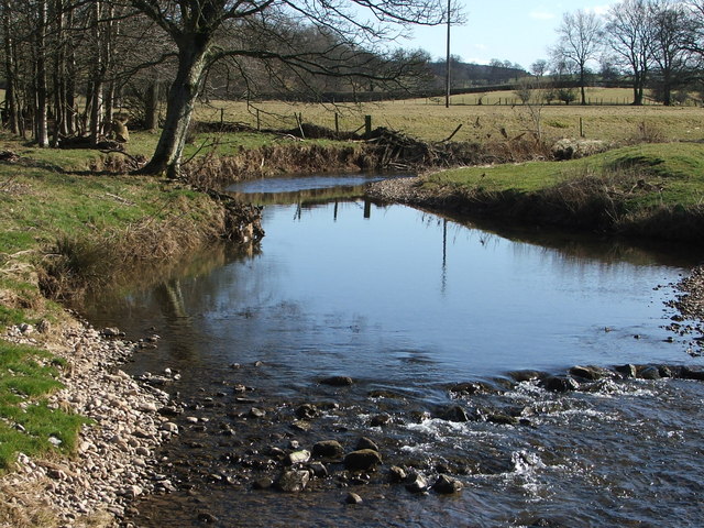
The woodland is characterized by its dense canopy of towering trees, primarily consisting of oak, beech, and pine. The vibrant hues of the leaves during autumn create a mesmerizing spectacle, hence the name "Rainbow Plantation." The forest floor is adorned with a carpet of wildflowers, ferns, and moss, adding to the enchanting ambiance.
The plantation is home to a diverse range of wildlife, including deer, foxes, squirrels, and a variety of bird species. Birdwatchers flock to this area to spot rare and migratory birds that make their nests in the treetops.
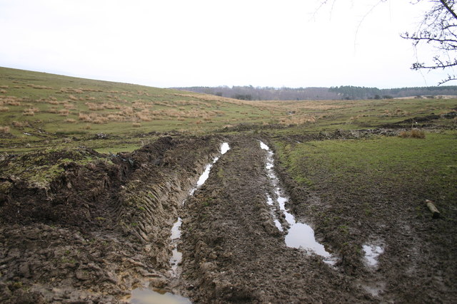
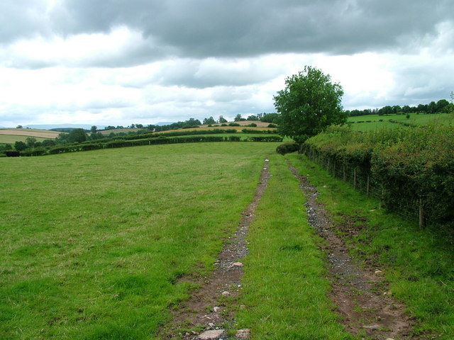
Rainbow Plantation offers a range of recreational activities for visitors to enjoy. There are numerous well-marked walking trails and hiking paths that cater to different levels of fitness and interests. These trails wind through the forest, providing glimpses of hidden waterfalls, babbling brooks, and tranquil ponds.
The forest also offers camping facilities for those who wish to immerse themselves in the serenity of nature. With designated camping areas and basic amenities, visitors can spend nights under the starry skies, surrounded by the soothing sounds of the wilderness.
Rainbow Plantation, with its captivating beauty and abundant wildlife, is a true gem of Westmorland. It provides a serene and immersive experience for nature enthusiasts and offers a welcome retreat from the hustle and bustle of everyday life.
If you have any feedback on the listing, please let us know in the comments section below.
Rainbow Plantation Images
Images are sourced within 2km of 54.554267/-2.5164232 or Grid Reference NY6617. Thanks to Geograph Open Source API. All images are credited.

Rainbow Plantation is located at Grid Ref: NY6617 (Lat: 54.554267, Lng: -2.5164232)
Administrative County: Cumbria
District: Eden
Police Authority: Cumbria
What 3 Words
///grape.level.clerk. Near Appleby-in-Westmorland, Cumbria
Nearby Locations
Related Wikis

Hoff, Cumbria
Hoff is a hamlet and civil parish in the Eden district of the county of Cumbria, England. At the 2001 census the parish had a population of 189, decreasing...
Burrells
Burrells is a hamlet in the Eden District, in the English county of Cumbria. Burrells is located on the B6260 Road in between the town of Appleby-in-Westmorland...

Drybeck
Drybeck is a hamlet in the Eden district in the English county of Cumbria. It is near the town of Appleby-in-Westmorland. It is on Dry Beck and has a...

Colby, Cumbria
Colby is a village and civil parish in the Eden district of the English county of Cumbria. It is near the village of Bolton to the north and the town of...
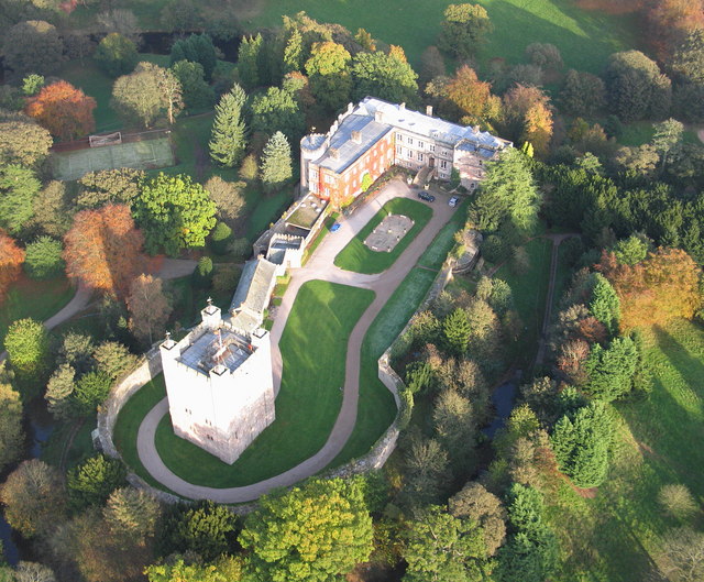
Appleby Castle
Appleby Castle is in the town of Appleby-in-Westmorland overlooking the River Eden (grid reference NY685200). It consists of a 12th-century castle keep...

Moot Hall, Appleby-in-Westmorland
The Moot Hall is a municipal building in Boroughgate, Appleby-in-Westmorland, Cumbria, England. The building, which is currently used as the meeting place...

St Lawrence's Church, Appleby
St Lawrence's Church is in Boroughgate, Appleby-in-Westmorland, Cumbria, England. It is an active Anglican parish church in the deanery of Appleby, the...

Barony of Westmorland
The Barony of Westmorland (medieval Westmarieland or Westmaringaland) also known as North Westmorland, the Barony of Appleby, Appleshire or the Bottom...
Nearby Amenities
Located within 500m of 54.554267,-2.5164232Have you been to Rainbow Plantation?
Leave your review of Rainbow Plantation below (or comments, questions and feedback).