Long Plantation
Wood, Forest in Westmorland Eden
England
Long Plantation

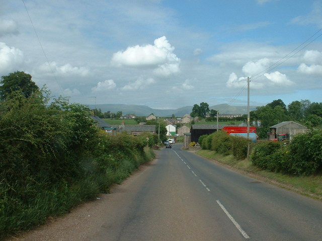
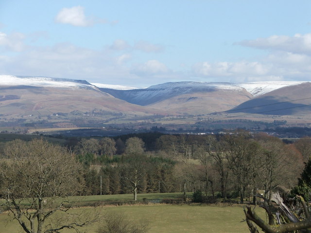
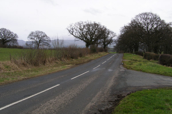
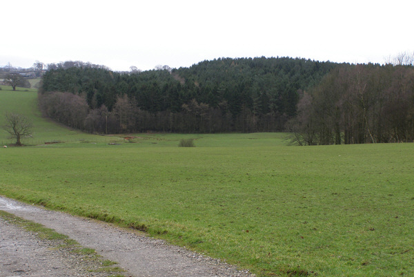
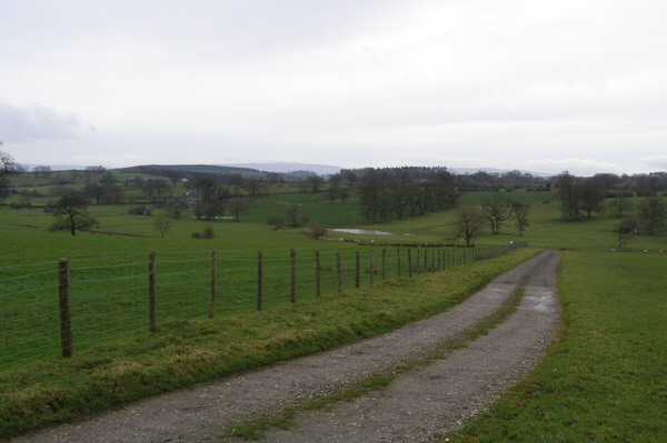
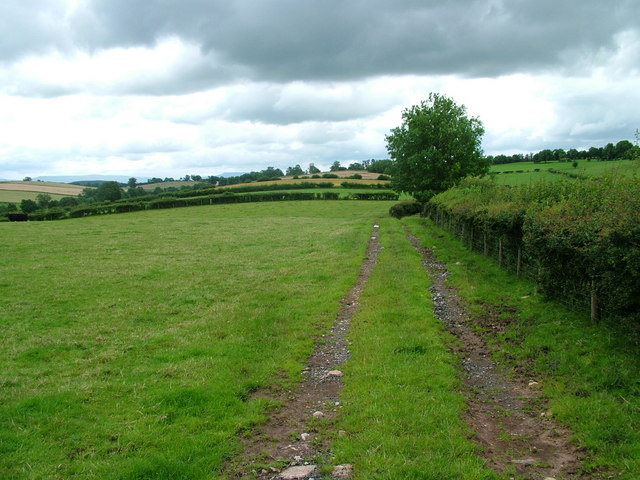
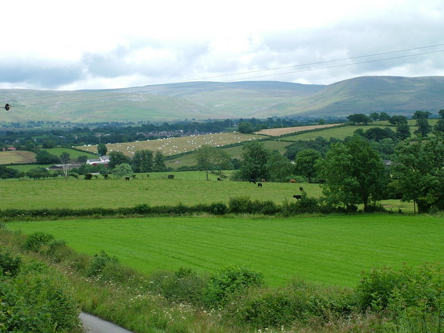
Long Plantation is a charming village located in the Westmorland district of England. Situated amidst a picturesque landscape, it is known for its dense woodlands and sprawling forests that surround the area. The village is nestled in the heart of the countryside and offers a tranquil and serene atmosphere for its residents and visitors.
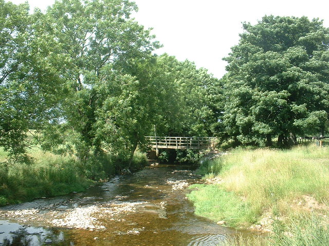
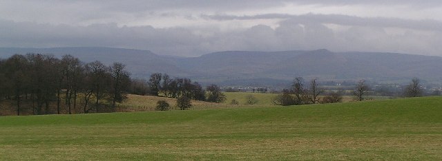
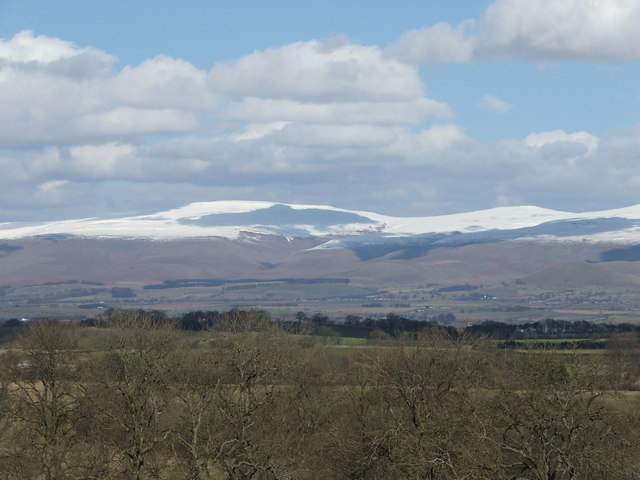
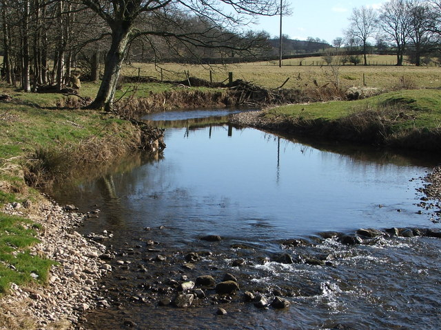
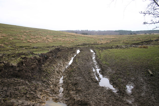
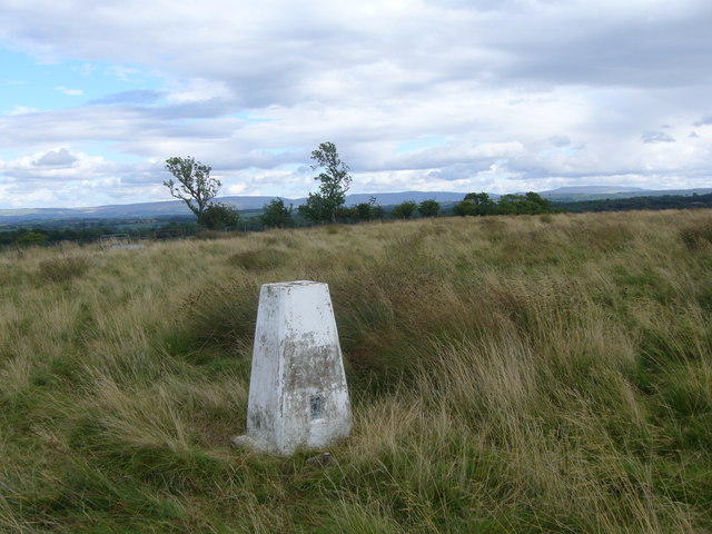
The main attraction of Long Plantation is its abundant natural beauty. The village is surrounded by lush greenery, with tall trees and vibrant flora that create a stunning backdrop. The forests in the area are home to a diverse range of wildlife, making it a haven for nature enthusiasts and bird watchers.
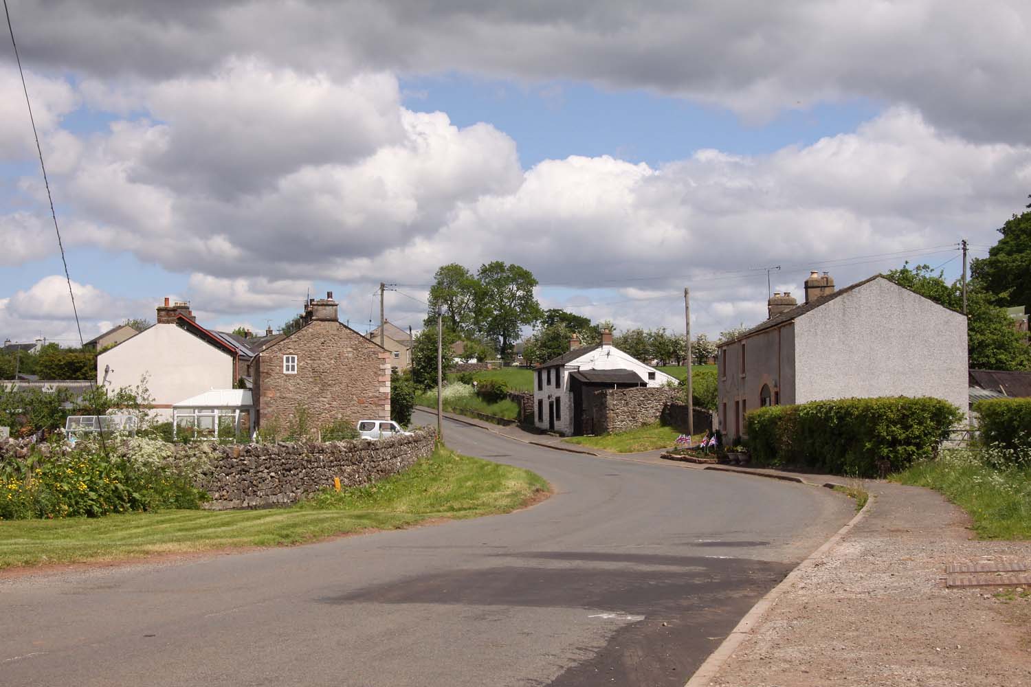
In addition to its natural surroundings, Long Plantation boasts a rich history. The village is known for its well-preserved plantation houses, which were once used for agricultural purposes. These historic buildings offer a glimpse into the past and serve as a reminder of the village's heritage.
Despite its rural location, Long Plantation is well-connected to nearby towns and cities. The village has a strong sense of community and offers a range of amenities for its residents. These include a local school, a post office, and a few small shops. Additionally, the village is well-served by public transportation, making it easily accessible for visitors.
Overall, Long Plantation is a hidden gem in the Westmorland district. With its stunning natural beauty, rich history, and strong community spirit, it is a wonderful place to visit or call home.
If you have any feedback on the listing, please let us know in the comments section below.
Long Plantation Images
Images are sourced within 2km of 54.555227/-2.5271968 or Grid Reference NY6617. Thanks to Geograph Open Source API. All images are credited.


Long Plantation is located at Grid Ref: NY6617 (Lat: 54.555227, Lng: -2.5271968)
Administrative County: Cumbria
District: Eden
Police Authority: Cumbria
What 3 Words
///hotspot.trees.surpasses. Near Appleby-in-Westmorland, Cumbria
Nearby Locations
Related Wikis

Hoff, Cumbria
Hoff is a hamlet and civil parish in the Eden district of the county of Cumbria, England. At the 2001 census the parish had a population of 189, decreasing...
Burrells
Burrells is a hamlet in the Eden District, in the English county of Cumbria. Burrells is located on the B6260 Road in between the town of Appleby-in-Westmorland...

Colby, Cumbria
Colby is a village and civil parish in the Eden district of the English county of Cumbria. It is near the village of Bolton to the north and the town of...

Drybeck
Drybeck is a hamlet in the Eden district in the English county of Cumbria. It is near the town of Appleby-in-Westmorland. It is on Dry Beck and has a...

Crackenthorpe
Crackenthorpe is a village and civil parish in the Eden District of Cumbria, England. It is about 12 miles (19 km) south east of Penrith. The village was...
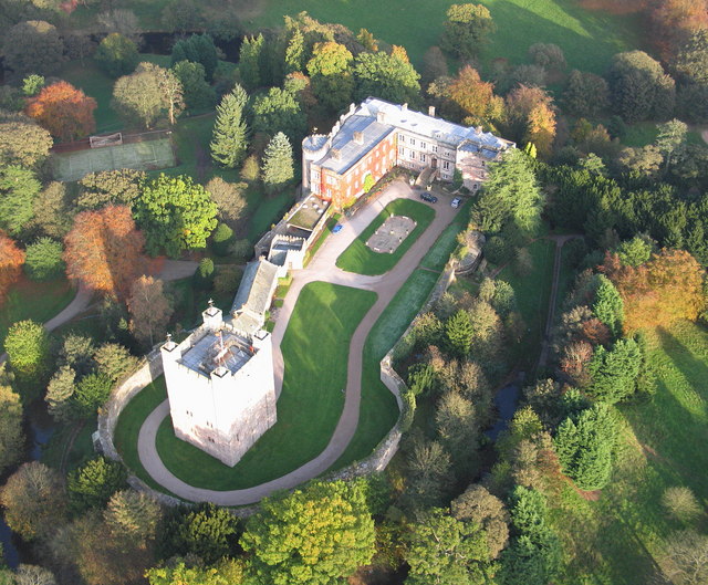
Appleby Castle
Appleby Castle is in the town of Appleby-in-Westmorland overlooking the River Eden (grid reference NY685200). It consists of a 12th-century castle keep...

Moot Hall, Appleby-in-Westmorland
The Moot Hall is a municipal building in Boroughgate, Appleby-in-Westmorland, Cumbria, England. The building, which is currently used as the meeting place...

St Lawrence's Church, Appleby
St Lawrence's Church is in Boroughgate, Appleby-in-Westmorland, Cumbria, England. It is an active Anglican parish church in the deanery of Appleby, the...
Nearby Amenities
Located within 500m of 54.555227,-2.5271968Have you been to Long Plantation?
Leave your review of Long Plantation below (or comments, questions and feedback).