Cat Grove
Wood, Forest in Gloucestershire
England
Cat Grove
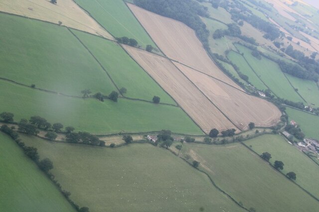
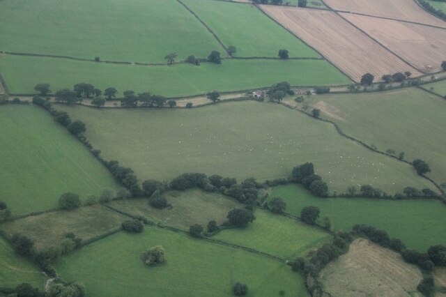
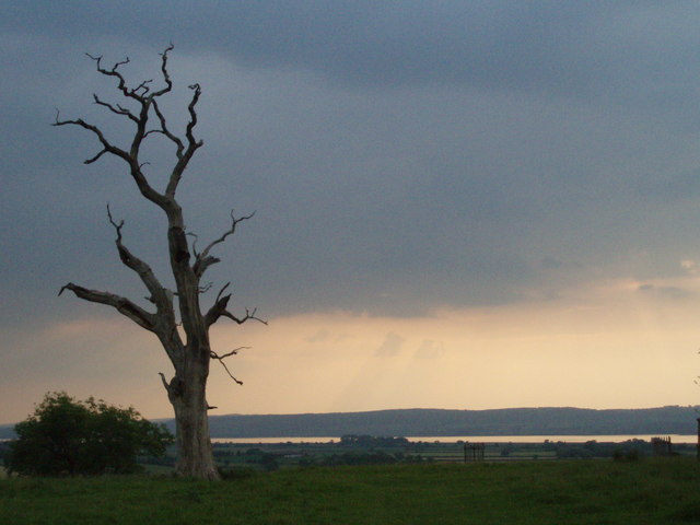
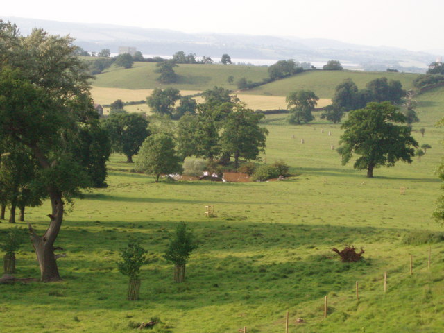
Cat Grove is a small woodland area located in Gloucestershire, England. Situated near the village of Wood, the grove is known for its lush greenery and serene atmosphere. It is part of the larger Forest of Dean, which covers a significant portion of the county.
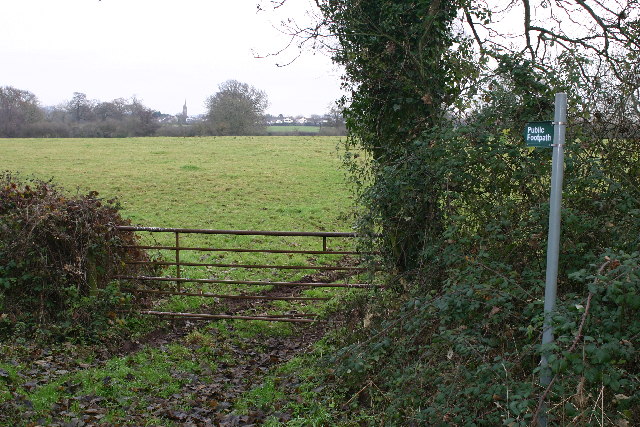
Covering an area of approximately 10 acres, Cat Grove is predominantly composed of dense oak and beech trees, creating a picturesque and tranquil setting. The grove is intersected by several walking trails, making it a popular destination for nature enthusiasts and hikers.
The woodland is home to a diverse range of flora and fauna, including various species of birds, mammals, and insects. It provides a vital habitat for wildlife, with the trees offering shelter and food sources. The woodland floor is carpeted with a variety of wildflowers and ferns, adding to the area's natural beauty.
Cat Grove is also steeped in history and folklore. It is believed to have been named after a mythical creature, possibly a wildcat, that once roamed the area. Local legends and tales of encounters with this elusive creature have been passed down through generations, adding an air of mystery to the grove.
In recent years, Cat Grove has become a popular spot for outdoor activities such as picnicking, birdwatching, and photography. Its close proximity to Wood and other nearby villages makes it easily accessible for visitors looking to immerse themselves in nature and experience the tranquility of the Forest of Dean.
If you have any feedback on the listing, please let us know in the comments section below.
Cat Grove Images
Images are sourced within 2km of 51.660576/-2.4930101 or Grid Reference ST6595. Thanks to Geograph Open Source API. All images are credited.


Cat Grove is located at Grid Ref: ST6595 (Lat: 51.660576, Lng: -2.4930101)
Unitary Authority: South Gloucestershire
Police Authority: Avon and Somerset
What 3 Words
///funds.processes.diets. Near Hill, Gloucestershire
Nearby Locations
Related Wikis
Ham and Stone
Ham and Stone is a civil parish in the Stroud district, in the county of Gloucestershire, England. It includes the settlements of Bevington, Ham, Hystfield...

Hill, Gloucestershire
Hill is a village and civil parish in South Gloucestershire, England, midway between the towns of Thornbury in South Gloucestershire and Berkeley in Gloucestershire...
Stone, Gloucestershire
Stone is a small village in the parish of Ham and Stone, Gloucestershire, England. It stands on the A38 road, just south-west of its crossing of the Little...

Rockhampton, Gloucestershire
Rockhampton is a village and civil parish in the English county of Gloucestershire, situated in the unitary district of South Gloucestershire. It is located...

The Salutation Inn
The Salutation Inn is a pub in Ham, Berkeley, Gloucestershire, England. It was CAMRA's National Pub of the Year for 2014. == References == == External... ==

Vale of Berkeley College
The Vale of Berkeley College was a small school located in Wanswell Berkeley, Gloucestershire, England. The school closed in July 2011. == External... ==
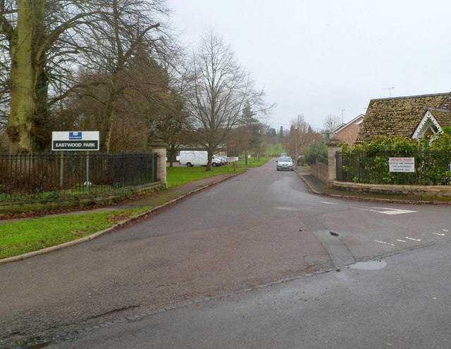
HM Prison Eastwood Park
HM Prison Eastwood Park is a women's closed category prison, located in the village of Falfield in South Gloucestershire, England. The prison is operated...
SGS Berkeley Green UTC
SGS Berkeley Green UTC is a university technical college in Berkeley, Gloucestershire, England. It opened in September 2017, and is part of SGS Academy...
Nearby Amenities
Located within 500m of 51.660576,-2.4930101Have you been to Cat Grove?
Leave your review of Cat Grove below (or comments, questions and feedback).