Sneyd Wood
Wood, Forest in Gloucestershire Forest of Dean
England
Sneyd Wood
Sneyd Wood is a picturesque forest located in Gloucestershire, England. Covering an area of approximately 200 acres, it is a popular destination for nature enthusiasts and outdoor lovers. The wood is situated near the village of Sneyd, nestled in the rolling hills of the Cotswolds.
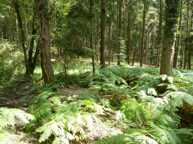
The forest is predominantly composed of native broadleaf trees, such as oak, beech, and birch, which create a diverse and vibrant ecosystem. The dense canopy of the woodland provides a haven for a wide variety of flora and fauna, making it a great place for wildlife spotting. Visitors may be fortunate enough to encounter deer, rabbits, squirrels, and a myriad of bird species during their explorations.
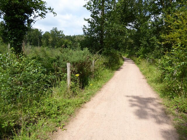
Sneyd Wood boasts several well-maintained walking trails that cater to different levels of fitness and interest. These paths wind through the forest, leading visitors to stunning viewpoints, tranquil ponds, and hidden clearings. Along the way, informative signposts provide details about the local flora and fauna, enhancing the educational experience.
In addition to its natural beauty, the forest offers recreational amenities to enhance visitors' experiences. Picnic areas equipped with tables and benches are scattered throughout the wood, providing a perfect spot for a leisurely lunch amidst the serene surroundings. Furthermore, the forest management team organizes regular events and workshops, including guided walks, for people of all ages to enjoy and learn more about the wood's ecosystem.
Sneyd Wood in Gloucestershire is a captivating destination for those seeking a peaceful retreat into nature. With its enchanting woodland, diverse wildlife, and well-maintained trails, it offers a rich and immersive experience for visitors to indulge in the beauty of the natural world.
If you have any feedback on the listing, please let us know in the comments section below.
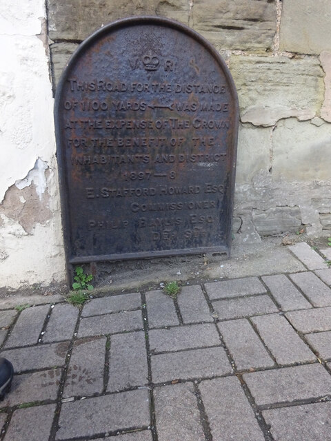
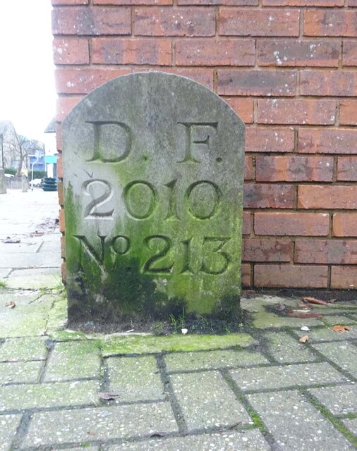
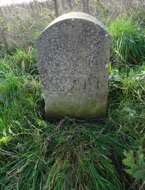
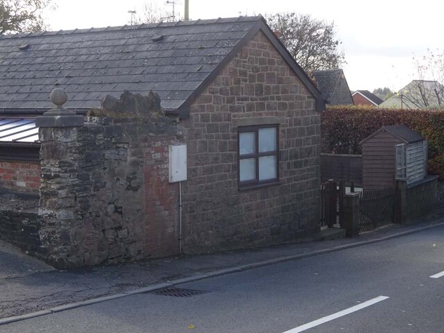
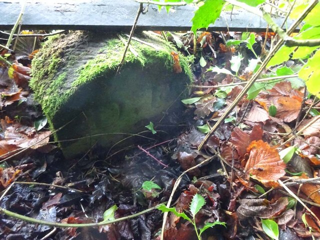
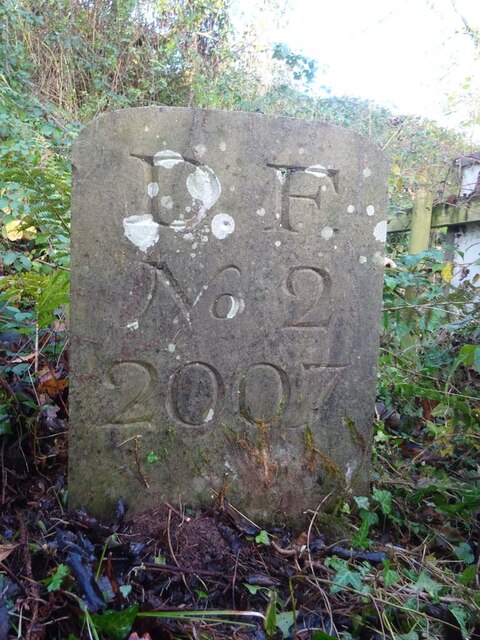
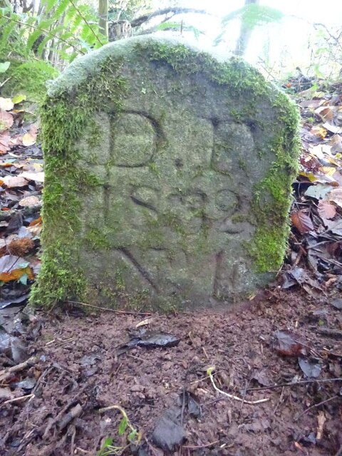
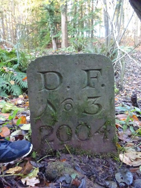
Sneyd Wood Images
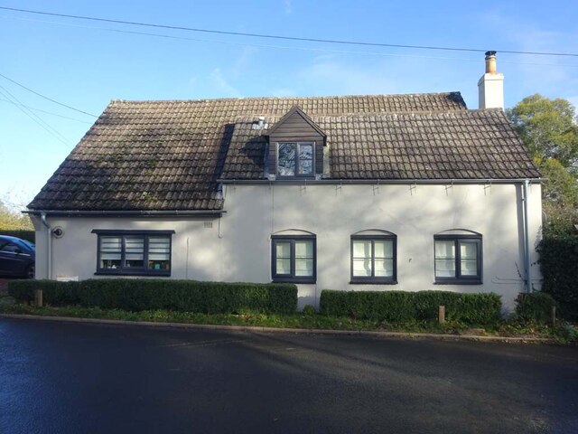
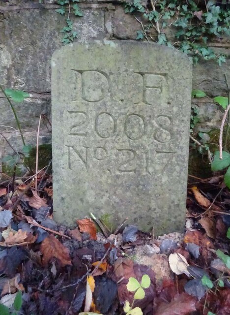
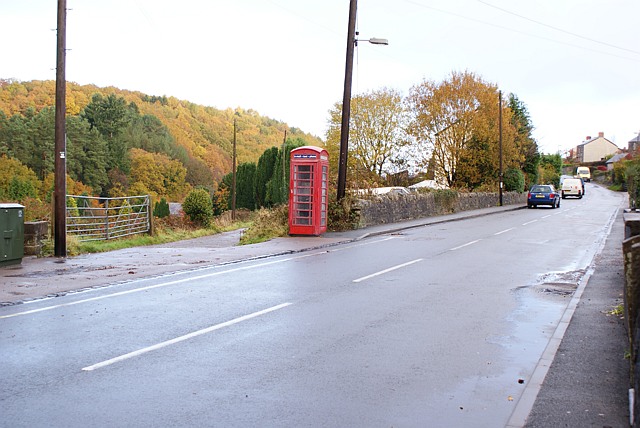
Images are sourced within 2km of 51.806416/-2.4946293 or Grid Reference SO6512. Thanks to Geograph Open Source API. All images are credited.
Sneyd Wood is located at Grid Ref: SO6512 (Lat: 51.806416, Lng: -2.4946293)
Administrative County: Gloucestershire
District: Forest of Dean
Police Authority: Gloucestershire
What 3 Words
///easy.magically.compelled. Near Cinderford, Gloucestershire
Nearby Locations
Related Wikis

Buckshraft Mine & Bradley Hill Railway Tunnel
Buckshaft Mine & Bradley Hill Railway Tunnel (SO655121 and SO662104) is a 5.66-hectare (14.0-acre) biological Site of Special Scientific Interest in Gloucestershire...
Ruspidge
Ruspidge is a village in the Forest of Dean district of west Gloucestershire, England. The civil parish includes Soudley It is located near the town of...

Soudley Ponds
Lying close to the village of Soudley in the Forest of Dean, west Gloucestershire, Soudley Ponds (grid reference SO662112), also known as Sutton Ponds...

Blaize Bailey
Blaize Bailey is a small hamlet and viewpoint on the eastern edge of the Forest of Dean, in Gloucestershire, England. The viewpoint was constructed using...

Ruspidge Halt railway station
Ruspidge Halt railway station is a disused railway station opened by the Great Western Railway (GWR) on the former Bullo Pill Railway, later known as the...
Staple Edge Halt railway station
Staple Edge Halt railway station is a disused railway station opened by the Great Western Railway (GWR) on the former Bullo Pill Railway, later known as...

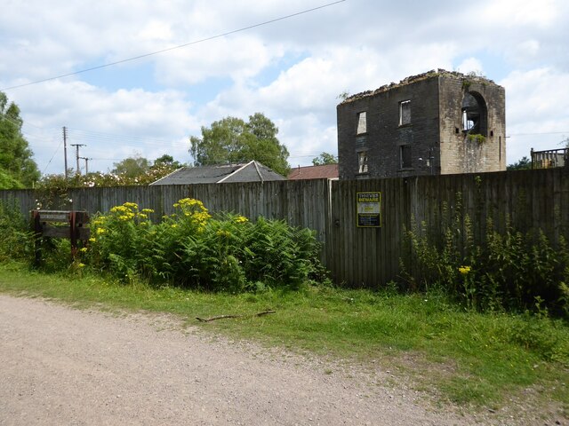
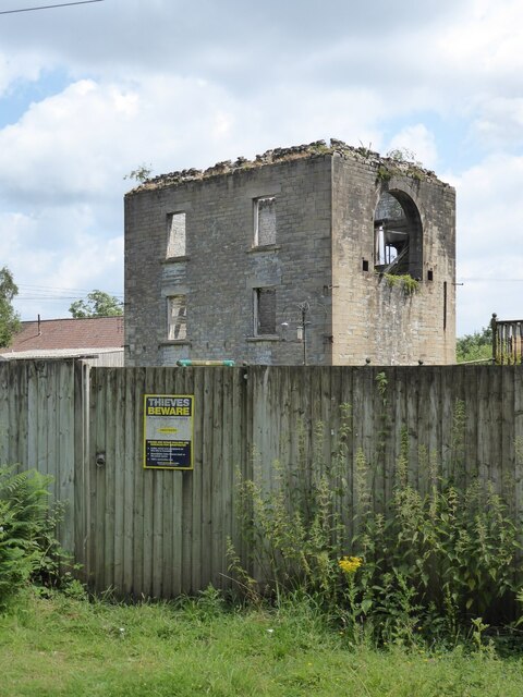
Cinderford Ironworks
Cinderford Ironworks, also known as Cinderford Furnace, was a coke-fired blast furnace, built in 1795, just west of Cinderford, in the Forest of Dean,...

Eastern United Colliery
Eastern United Colliery was a drift mine in the Forest of Dean, Gloucestershire, England served by the Great Western Railway's Forest of Dean Branch. The...
Nearby Amenities
Located within 500m of 51.806416,-2.4946293Have you been to Sneyd Wood?
Leave your review of Sneyd Wood below (or comments, questions and feedback).