Hole Bottom Wood

Wood, Forest in Lancashire

England

Hole Bottom Wood

Stile and Footpath above the Stanworth Valley About to enter some woods that shades the River Roddlesworth in the Stanworth Valley
Stile and Footpath above the Stanworth Valley Credit: Chris Heaton

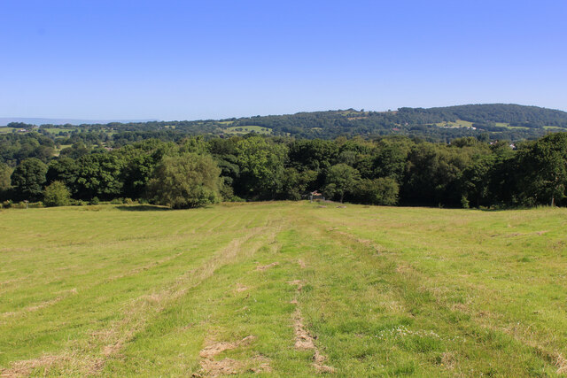
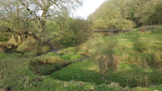
Hole Bottom Wood is a picturesque forest located in the county of Lancashire, England. Nestled within the rural countryside, this wood is a haven for nature enthusiasts and those seeking tranquility amidst lush greenery.

Covering an area of approximately 50 acres, Hole Bottom Wood is known for its diverse range of tree species, including oak, beech, and sycamore. These majestic trees tower above the forest floor, creating a dense canopy that provides shade and shelter for the abundance of wildlife that calls this place home. It is also home to a variety of wildflowers, ferns, and fungi, adding to the enchanting beauty of the wood.

A network of well-maintained trails wind through Hole Bottom Wood, allowing visitors to explore its wonders at their own pace. The trails offer a chance to observe the various inhabitants of the forest, such as deer, foxes, and a wide array of bird species. The melodious songs of the birds create a symphony that resonates throughout the wood, adding to its serene atmosphere.

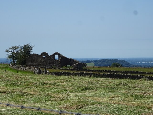
Hole Bottom Wood is not only a place of natural beauty but also holds historical significance. It is believed to have been part of an ancient hunting ground used by nobility in the medieval era. The remnants of old stone walls and the occasional sighting of archaeological artifacts are a testament to its rich past.

With its breathtaking scenery and abundant wildlife, Hole Bottom Wood is a gem in Lancashire's natural landscape. It offers a peaceful retreat for visitors to immerse themselves in nature's wonders and experience the timeless beauty of this ancient woodland.

If you have any feedback on the listing, please let us know in the comments section below.

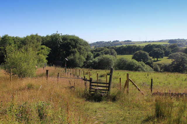
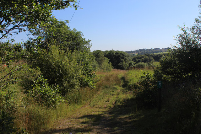
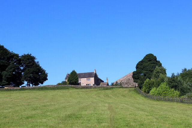
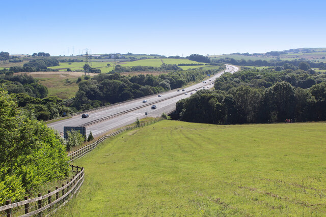
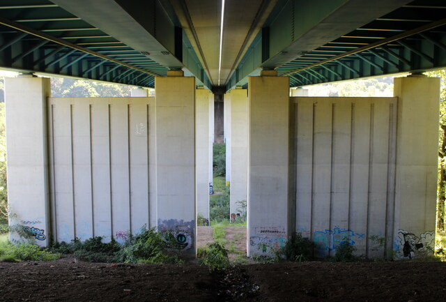
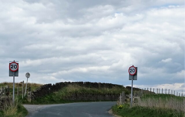
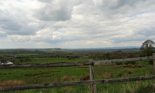
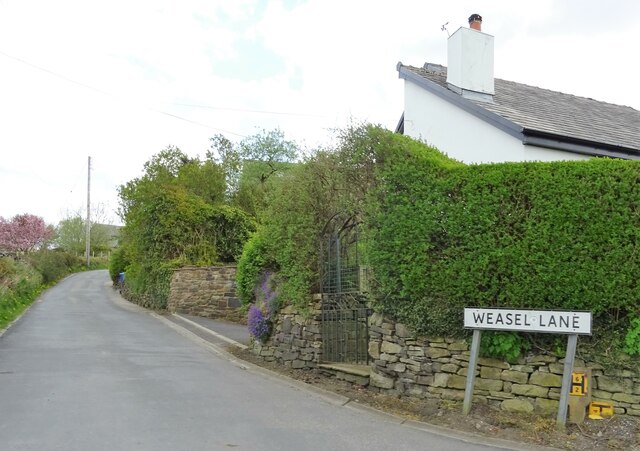
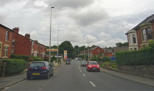
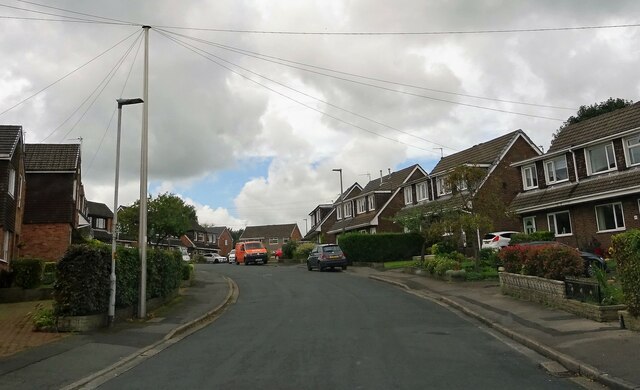
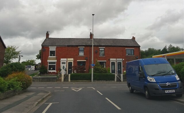
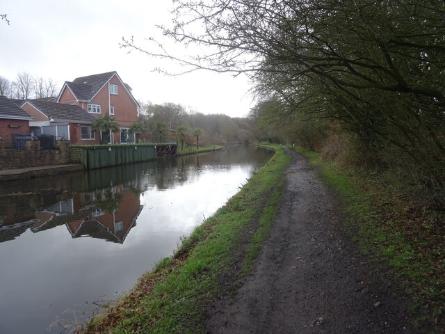
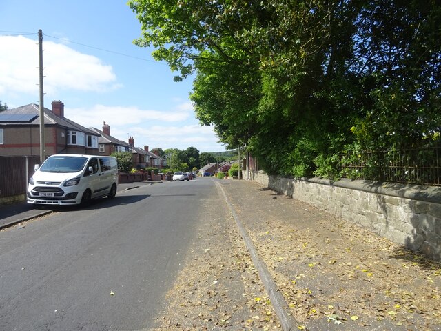
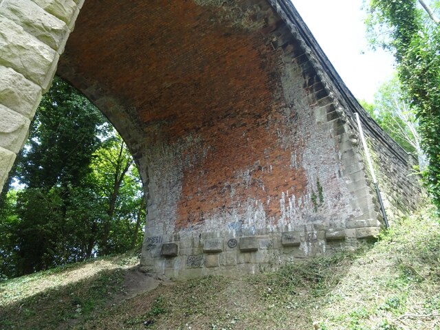
Hole Bottom Wood Images

Images are sourced within 2km of 53.713659/-2.5168243 or Grid Reference SD6524. Thanks to Geograph Open Source API. All images are credited.

Stile and Footpath above the Stanworth Valley About to enter some woods that shades the River Roddlesworth in the Stanworth Valley
Stile and Footpath above the Stanworth Valley
About to enter some woods that shades the River Roddlesworth in the Stanworth Valley
Footpath heading towards the Stanworth Valley
Ascending towards Stanworth Farm Climbing through this pasture towards the farm, with the M65 as a companion - just out of shot to the right.
This shows the view in the opposite direction <a href="https://www.geograph.org.uk/photo/6904525">SM8602 : Pele Tower</a>
Ascending towards Stanworth Farm
Climbing through this pasture towards the farm, with the M65 as a companion - just out of shot to the right. This shows the view in the opposite direction SM8602 : Pele Tower
M65 crossing the Stanworth Valley The motorway crossing above the wooded trench, which conceals the River Roddlesworth - on the Stanworth Valley Viaduct.
This shows the view in the opposite direction <a href="https://www.geograph.org.uk/photo/6904510">SD6424 : Ascending towards Stanworth Farm</a>
M65 crossing the Stanworth Valley
The motorway crossing above the wooded trench, which conceals the River Roddlesworth - on the Stanworth Valley Viaduct. This shows the view in the opposite direction SD6424 : Ascending towards Stanworth Farm
Under the M65 Concrete supports that carry the M65 over the wooded valley that conceals the River Roddlesworth from view - otherwise known as the Stanworth Valley Viaduct.
The Witton Weavers Way long distance footpath also passes under this structure.
Under the M65
Concrete supports that carry the M65 over the wooded valley that conceals the River Roddlesworth from view - otherwise known as the Stanworth Valley Viaduct. The Witton Weavers Way long distance footpath also passes under this structure.
Witton Weavers Way descending towards Stanworth Bridge Descending through pasture towards the Leeds and Liverpool Canal, by the edge of the woods
Witton Weavers Way descending towards Stanworth Bridge
Descending through pasture towards the Leeds and Liverpool Canal, by the edge of the woods
Green Hill The ruins of Green Hill, a former farm in the Ryal Fold area of Tockholes.
Green Hill
The ruins of Green Hill, a former farm in the Ryal Fold area of Tockholes.
Moorland Drive, Green Hills, Livesey Looking up Moorland Drive, entrance to the recently-built Green Hills estate.
Moorland Drive, Green Hills, Livesey
Looking up Moorland Drive, entrance to the recently-built Green Hills estate.
Approaching Tockholes A sharp bend just south of the village.
Approaching Tockholes
A sharp bend just south of the village.
A view from Tockholes Looking towards Edge Hill.
A view from Tockholes
Looking towards Edge Hill.
Weasel Lane At Tockholes.
Weasel Lane
At Tockholes.
Preston Old Road In Feniscowles.
Preston Old Road
In Feniscowles.
Park Farm Road In Feniscowles.
Park Farm Road
In Feniscowles.
Preston Old Road From Park Farm Road in Feniscowles.
Preston Old Road
From Park Farm Road in Feniscowles.
The Streams, Feniscowles A number of streams emerge and combine to the west of the Three Arches in Feniscowles, draining areas around Horden Farm and the new Greenfields estate.
Here is one cutting through glacial till in a field.
The Streams, Feniscowles
A number of streams emerge and combine to the west of the Three Arches in Feniscowles, draining areas around Horden Farm and the new Greenfields estate. Here is one cutting through glacial till in a field.
Canal towpath at Feniscowles The towpath on the Leeds & Liverpool Canal heading out of Feniscowles towards Stanworth (eventually).
Canal towpath at Feniscowles
The towpath on the Leeds & Liverpool Canal heading out of Feniscowles towards Stanworth (eventually).
Woodlands Avenue, Cherry Tree Looking up Woodlands Avenue at the side of Feng Shui House.
Woodlands Avenue, Cherry Tree
Looking up Woodlands Avenue at the side of Feng Shui House.
The Three Arches, Feniscowles A close look under the northernmost arch of the disused viaduct known locally as the Three Arches.
The bridge formerly carried the Lancashire Union Railway, built in the latter part of the 1860s to provide a direct connection between Blackburn and the rest of the East Lancashire cotton towns to sources of coal in and around Chorley and Wigan.
The line was eventually closed in January 1966, though the section between Cherry Tree and Feniscowles survived until 1968.
There's a good overview on the White Coppice, Anglezarke & Rivington website (exceptional local resource) at <span class="nowrap"><a title="http://www.white-coppice.co.uk/chorley_blackburn.htm" rel="nofollow ugc noopener" href="http://www.white-coppice.co.uk/chorley_blackburn.htm">Link</a><img style="margin-left:2px;" alt="External link" title="External link - shift click to open in new window" src="https://s1.geograph.org.uk/img/external.png" width="10" height="10"/></span>.
The Three Arches, Feniscowles
A close look under the northernmost arch of the disused viaduct known locally as the Three Arches. The bridge formerly carried the Lancashire Union Railway, built in the latter part of the 1860s to provide a direct connection between Blackburn and the rest of the East Lancashire cotton towns to sources of coal in and around Chorley and Wigan. The line was eventually closed in January 1966, though the section between Cherry Tree and Feniscowles survived until 1968. There's a good overview on the White Coppice, Anglezarke & Rivington website (exceptional local resource) at LinkExternal link.
Show me another place!

Hole Bottom Wood is located at Grid Ref: SD6524 (Lat: 53.713659, Lng: -2.5168243)

Unitary Authority: Blackburn with Darwen

Police Authority: Lancashire

What 3 Words

///phones.sushi.souk. Near Darwen, Lancashire

Related Wikis

Livesey

Livesey is a civil parish in the unitary borough of Blackburn with Darwen, in the ceremonial county of Lancashire, England. The population of the civil...

Tockholes

Tockholes is a village and civil parish which forms part of the Blackburn with Darwen unitary authority in the English county of Lancashire, England. Tockholes...

Feniscowles railway station

Feniscowles railway station was a railway station that served the village of Feniscowles, in Blackburn with Darwen in Lancashire, England. == History... ==

St Bede's Roman Catholic High School, Blackburn

St Bede's RC High School is a coeducational Roman Catholic secondary school located in Blackburn in the English county of Lancashire.It is a voluntary...

Abbey Village Reservoir

The reservoir north of Abbey Village on the River Roddlesworth - known as Close House Reservoir - is the latest addition to the reservoirs around this...

St Andrew's Church, Blackburn

St Andrew's Church is in Livesey Branch Road, Blackburn, Lancashire, England. It is a redundant Anglican church designed by the Lancaster architect E...

Feniscowles

Feniscowles is a village in the unitary authority of Blackburn with Darwen, Lancashire, England. It lies approximately 3 miles (4.8 km) west of Blackburn...

Earcroft

Earcroft is the northern ward in the town of Darwen, Lancashire, England. It borders Blackburn on the A666. It has a mix of residential, manufacturing...

Related Videos

Witton Weavers Way - Walk 2 - The Reelers Trail

Circular trail walk from Cherry Tree , Blackburn.

Roddlesworth reservoir. A walk with an American . #dogoftheday #dogwalk #k9

A lovely walk around Roddlesworth reservoir. We let an American walk around with us today. this is a better walk in the winter in ...

Hollinshead Hall to Darwen Tower

Welcome back , Todays walk takes us on a walk from Hollinshead Hall at Tockholes ,through the woods and over the moors to ...

Nearby Amenities

Located within 500m of 53.713659,-2.5168243
Barrier: stile
Foot: yes
Lat/Long: 53.7093333/-2.5161976
Barrier: stile
Foot: yes
Lat/Long: 53.7108641/-2.5213885
Barrier: stile
Foot: yes
Lat/Long: 53.7095571/-2.5185474
Barrier: stile
Foot: yes
Lat/Long: 53.7125303/-2.5238004
Barrier: stile
Foot: yes
Lat/Long: 53.7113561/-2.5221283
Power: tower
Lat/Long: 53.7173311/-2.513514
Power: tower
Lat/Long: 53.7161988/-2.5229059
Phone
Emergency: phone
Indoor: no
Operator: National Highways
Operator Type: government
Operator Wikidata: Q5760006
Ref: 4113 A
Lat/Long: 53.7131644/-2.5138549
Phone
Emergency: phone
Indoor: no
Operator: National Highways
Operator Type: government
Operator Wikidata: Q5760006
Ref: 4113 B
Lat/Long: 53.7128867/-2.5138158
The data included in this document is from www.openstreetmap.org. The data is made available under ODbL.

Have you been to Hole Bottom Wood?

Leave your review of Hole Bottom Wood below (or comments, questions and feedback).