Barwise Wood
Wood, Forest in Westmorland Eden
England
Barwise Wood

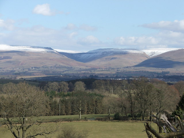
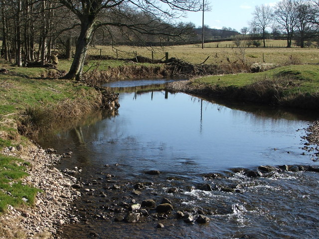
Barwise Wood is a picturesque forest located in the region of Westmorland, North West England. Covering an expansive area of land, the wood is known for its abundant natural beauty and diverse range of flora and fauna.
The forest is characterized by its dense foliage, consisting mainly of native trees such as oak, birch, and beech, which provide a lush and vibrant canopy throughout the year. The woodland floor is carpeted with a variety of wildflowers and ferns, creating a serene and enchanting atmosphere.
Barwise Wood is a haven for wildlife, attracting a wide array of species. Birdwatchers can spot various species of woodland birds, including woodpeckers, owls, and thrushes. The forest is also home to mammals such as red squirrels, badgers, and deer, which can often be spotted roaming freely.
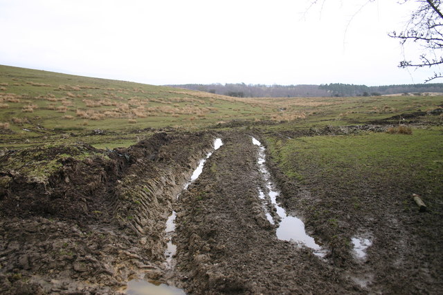
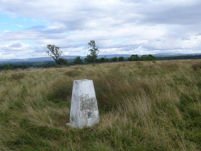
The wood offers numerous walking trails and paths, allowing visitors to explore its enchanting beauty. These trails are well-maintained and range in difficulty, catering to both casual strollers and avid hikers. Along the paths, there are informative signboards providing details about the local flora and fauna, enhancing the educational experience.
With its tranquil atmosphere, Barwise Wood provides an ideal setting for nature enthusiasts, photographers, and those seeking a peaceful escape from the bustling city life. Whether it is a leisurely stroll or an immersive exploration of the forest's ecosystem, visitors to Barwise Wood are sure to be captivated by its natural charm and serenity.
If you have any feedback on the listing, please let us know in the comments section below.
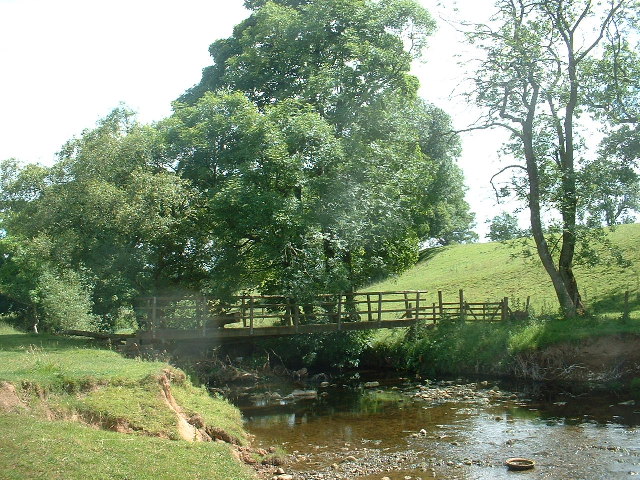
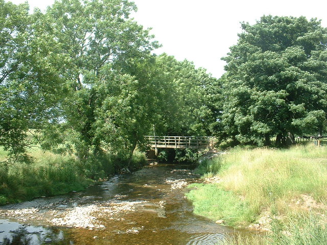
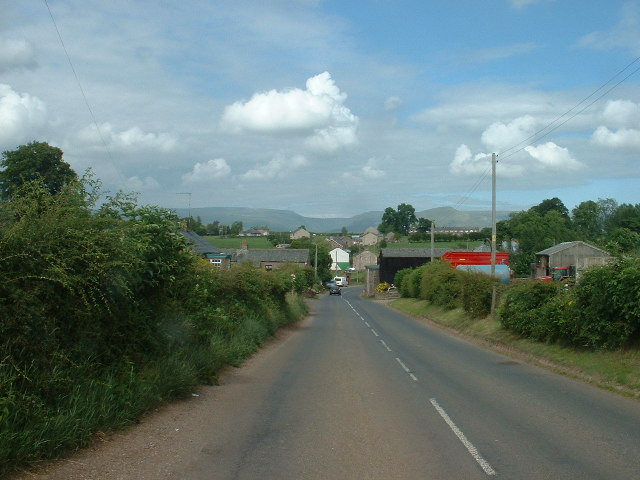
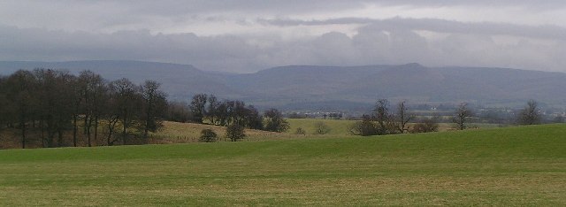
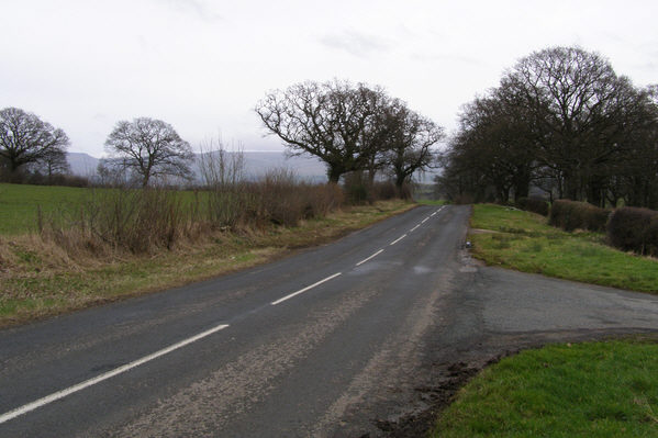
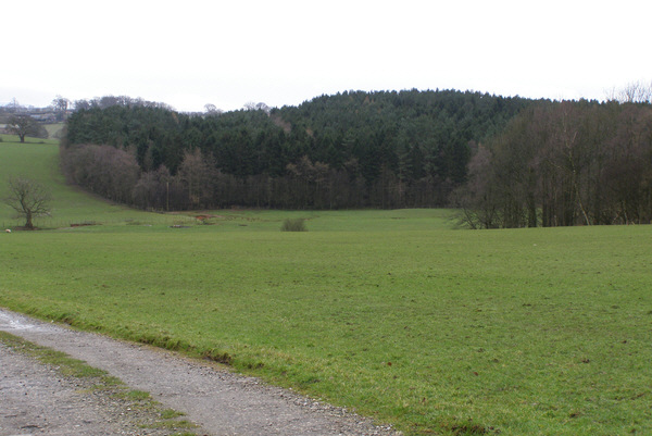
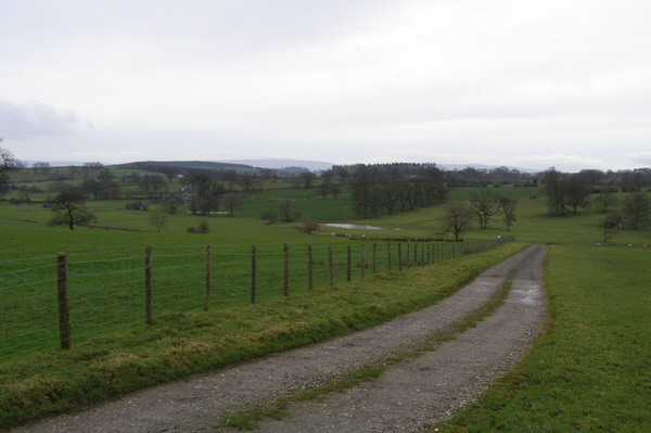
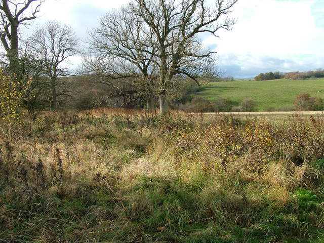
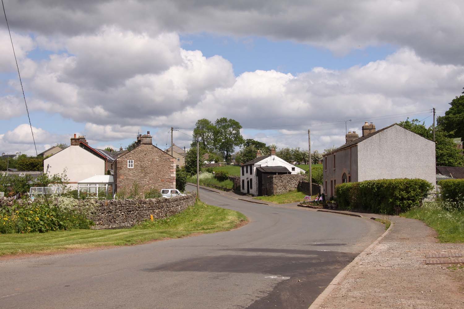
Barwise Wood Images
Images are sourced within 2km of 54.551437/-2.5266686 or Grid Reference NY6617. Thanks to Geograph Open Source API. All images are credited.


Barwise Wood is located at Grid Ref: NY6617 (Lat: 54.551437, Lng: -2.5266686)
Administrative County: Cumbria
District: Eden
Police Authority: Cumbria
What 3 Words
///skills.ambitions.rise. Near Appleby-in-Westmorland, Cumbria
Nearby Locations
Related Wikis

Hoff, Cumbria
Hoff is a hamlet and civil parish in the Eden district of the county of Cumbria, England. At the 2001 census the parish had a population of 189, decreasing...
Burrells
Burrells is a hamlet in the Eden District, in the English county of Cumbria. Burrells is located on the B6260 Road in between the town of Appleby-in-Westmorland...

Drybeck
Drybeck is a hamlet in the Eden district in the English county of Cumbria. It is near the town of Appleby-in-Westmorland. It is on Dry Beck and has a...

Colby, Cumbria
Colby is a village and civil parish in the Eden district of the English county of Cumbria. It is near the village of Bolton to the north and the town of...
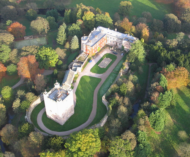
Appleby Castle
Appleby Castle is in the town of Appleby-in-Westmorland overlooking the River Eden (grid reference NY685200). It consists of a 12th-century castle keep...

Crackenthorpe
Crackenthorpe is a village and civil parish in the Eden District of Cumbria, England. It is about 12 miles (19 km) south east of Penrith. The village was...

Maulds Meaburn
Maulds Meaburn (English: ) is a village in Cumbria, England. It is located in the Lyvennet Valley and Yorkshire Dales National Park and is 13 miles from...

Moot Hall, Appleby-in-Westmorland
The Moot Hall is a municipal building in Boroughgate, Appleby-in-Westmorland, Cumbria, England. The building, which is currently used as the meeting place...
Nearby Amenities
Located within 500m of 54.551437,-2.5266686Have you been to Barwise Wood?
Leave your review of Barwise Wood below (or comments, questions and feedback).