Mantle Covert
Wood, Forest in Shropshire
England
Mantle Covert
Mantle Covert is a picturesque woodland located in Shropshire, England. Situated in the heart of the county, this forested area spans over a vast expanse of land, providing a tranquil and serene environment for nature enthusiasts and visitors alike.
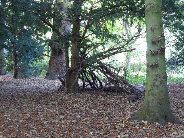
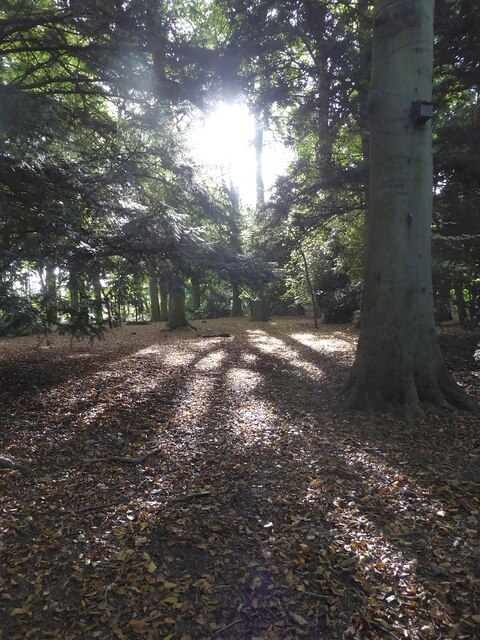
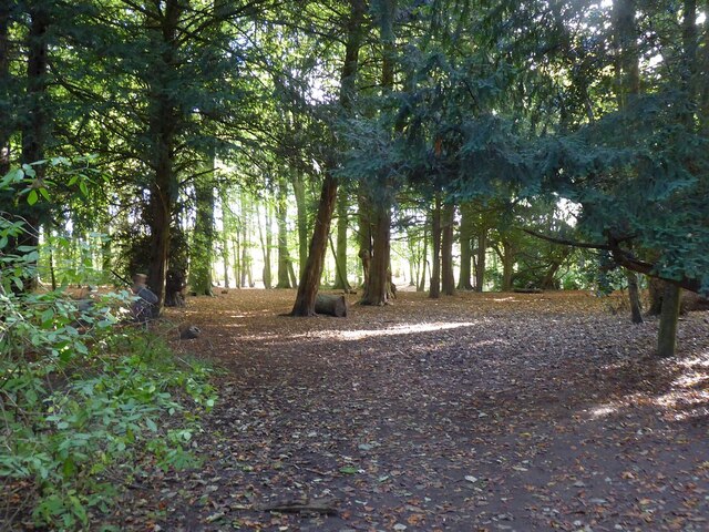
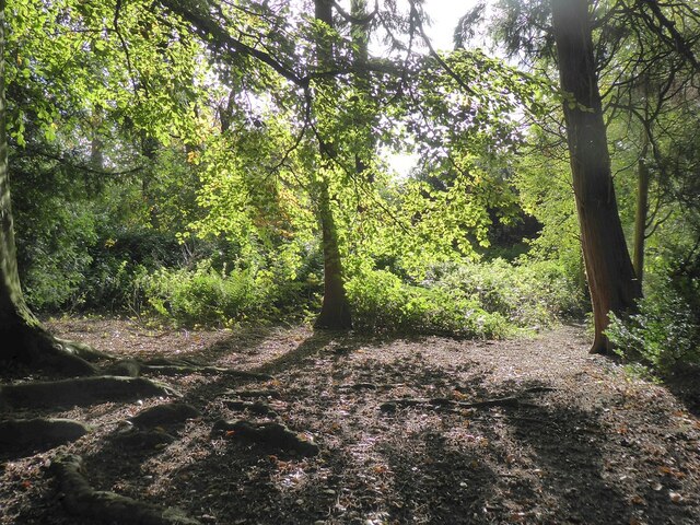
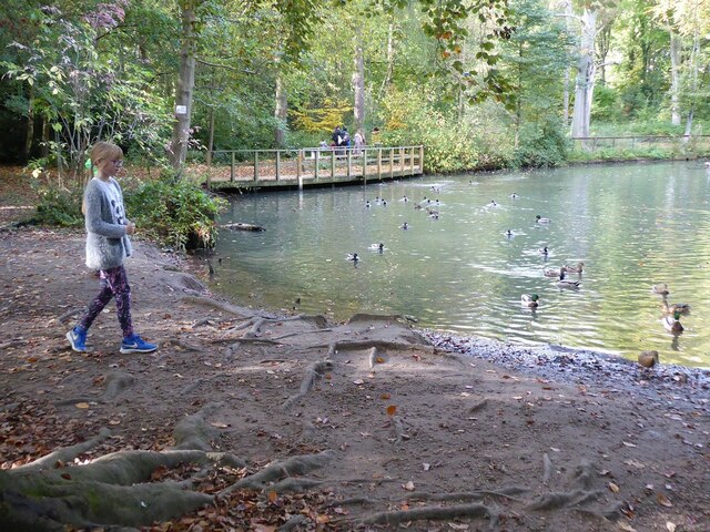
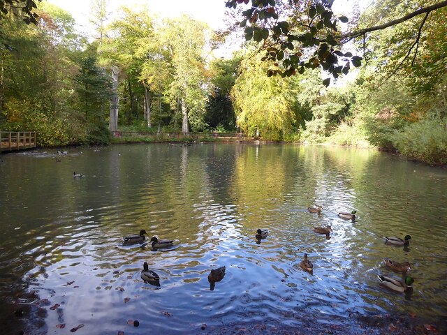
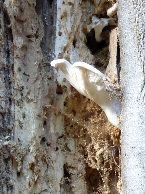
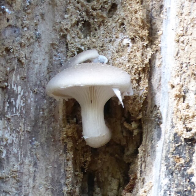
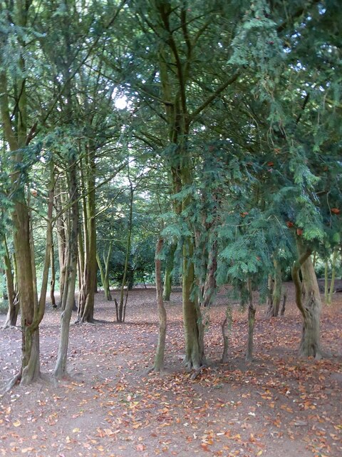
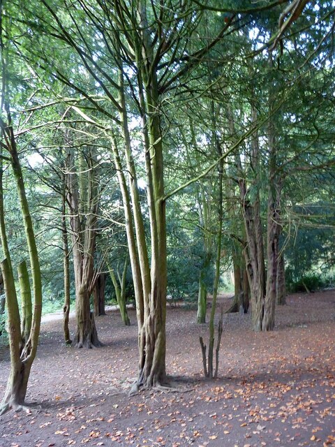
The woodland is characterized by its dense canopy, comprised mainly of oak and beech trees, which create a luscious green haven throughout the year. The forest floor is adorned with a rich carpet of moss, ferns, and wildflowers, adding to the charm and natural beauty of the area. The diverse plant life supports a variety of wildlife, including deer, foxes, badgers, and a wide array of bird species, making it a haven for nature lovers and photographers.
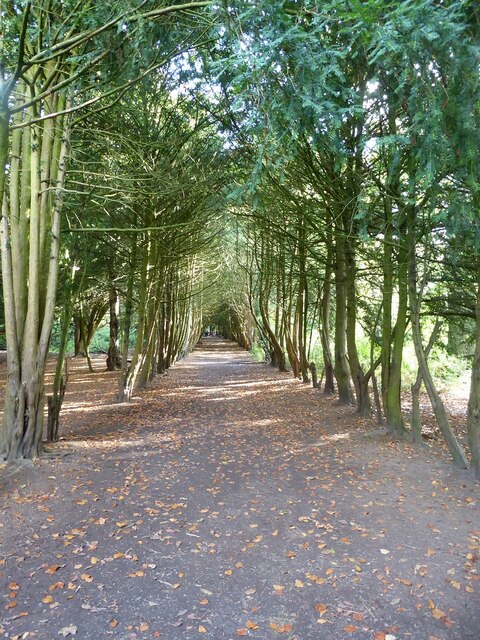
Mantle Covert offers a range of walking trails and paths, allowing visitors to explore its natural wonders at their own pace. These pathways wind through the forest, leading to hidden clearings, babbling brooks, and enchanting viewpoints, providing ample opportunities for peaceful contemplation and relaxation. The forest also boasts several picnic areas, where visitors can enjoy a meal surrounded by the sounds of nature.
For those seeking a more immersive experience, Mantle Covert offers camping facilities, allowing visitors to spend a night under the starry sky amidst the forest's embrace. The camping grounds are well-equipped with basic amenities, ensuring a comfortable and enjoyable stay.
Mantle Covert is not only a place of natural beauty but also serves as an important habitat for the preservation of biodiversity. Its protected status ensures the conservation of this precious woodland, allowing future generations to continue to enjoy its natural wonders for years to come.
If you have any feedback on the listing, please let us know in the comments section below.
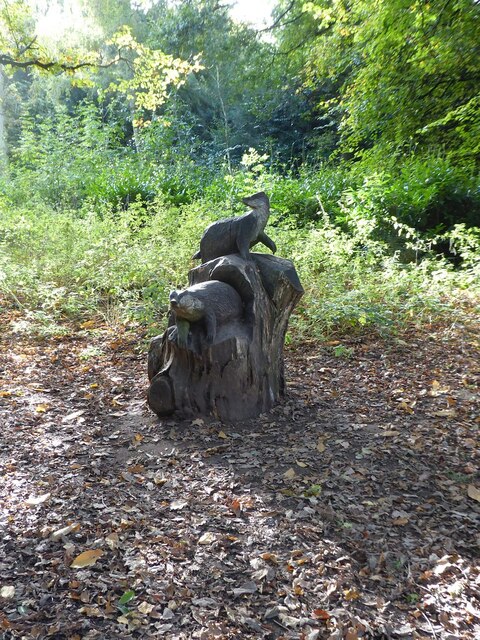
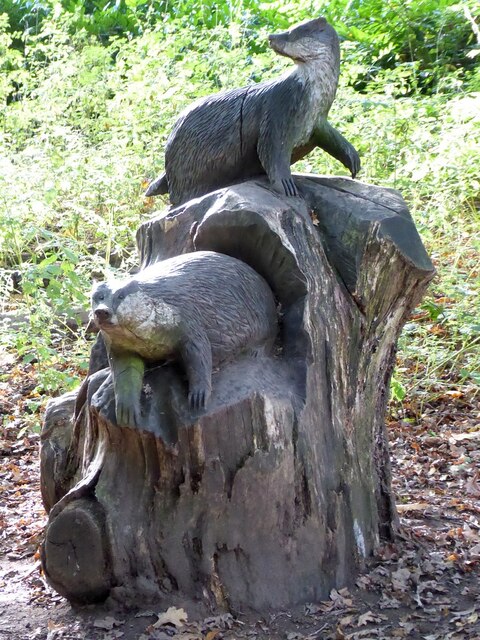
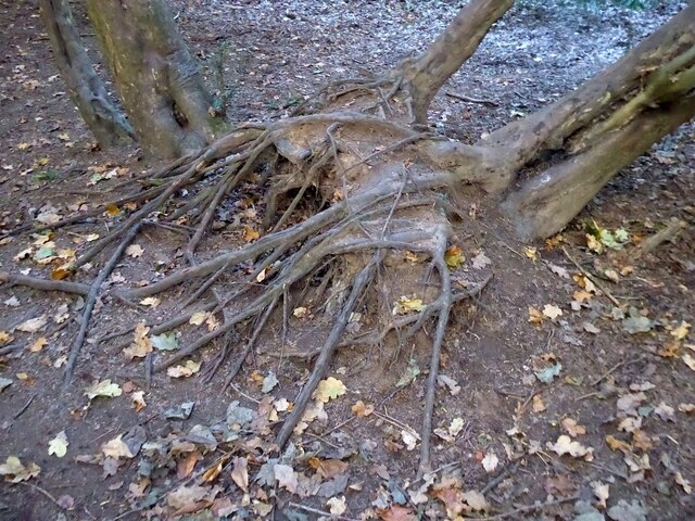
Mantle Covert Images
Images are sourced within 2km of 52.730032/-2.5051553 or Grid Reference SJ6514. Thanks to Geograph Open Source API. All images are credited.


Mantle Covert is located at Grid Ref: SJ6514 (Lat: 52.730032, Lng: -2.5051553)
Unitary Authority: Telford and Wrekin
Police Authority: West Mercia
What 3 Words
///slant.students.oblige. Near Eyton upon the Weald Moors, Shropshire
Nearby Locations
Related Wikis
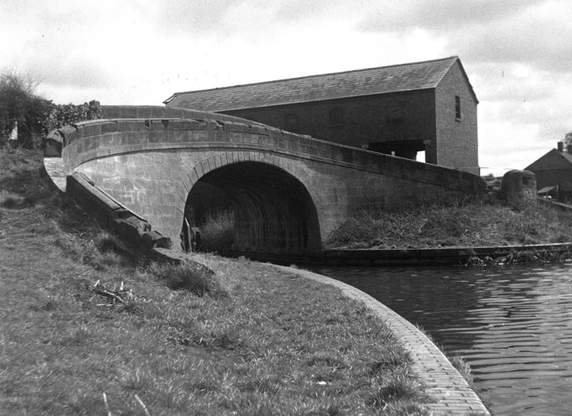
Wappenshall Junction
Wappenshall Junction (grid reference SJ662145) is a British canal junction located at Wappenshall, Shropshire. It was created when the Newport Branch Canal...
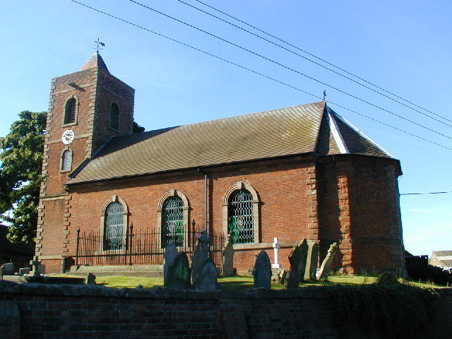
Eyton upon the Weald Moors
Eyton is a village and civil parish in Shropshire, England on the south-west edge of the Weald Moors, north of Wellington. Naturalist Thomas Campbell Eyton...

Apley Castle
Apley Castle was a medieval fortified manor in the village of Hadley, Shropshire, England. == History == Apley Castle was a moated, fortified manor house...

Princess Royal Hospital, Telford
The Princess Royal Hospital is a teaching hospital located in Apley Castle, Telford, England. It forms the Telford site of the Shrewsbury and Telford Hospital...
Nearby Amenities
Located within 500m of 52.730032,-2.5051553Have you been to Mantle Covert?
Leave your review of Mantle Covert below (or comments, questions and feedback).