Eyton upon the Weald Moors
Settlement in Shropshire
England
Eyton upon the Weald Moors
Eyton upon the Weald Moors is a small village located in the county of Shropshire, England. Situated on the northern edge of the Weald Moors, an area known for its fertile agricultural land, the village is surrounded by picturesque countryside and offers a tranquil setting for its residents.
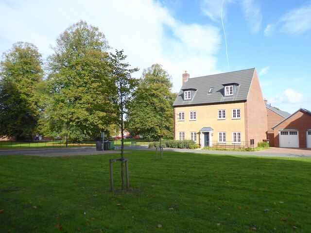
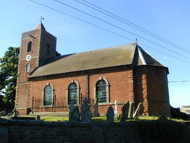
The village is characterized by its charming traditional architecture, with many of the houses and buildings dating back several centuries. The local church, St. Catherine's, is a notable landmark, showcasing beautiful Norman and Gothic features.
Despite its rural setting, Eyton upon the Weald Moors benefits from its proximity to nearby towns and cities. The village is conveniently located just a few miles from the bustling market town of Wellington, providing residents with easy access to a range of amenities, including shops, schools, and healthcare facilities. The larger towns of Telford and Shrewsbury are also within reach, offering further opportunities for employment, leisure, and cultural activities.
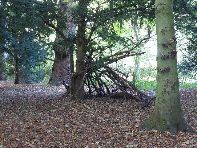
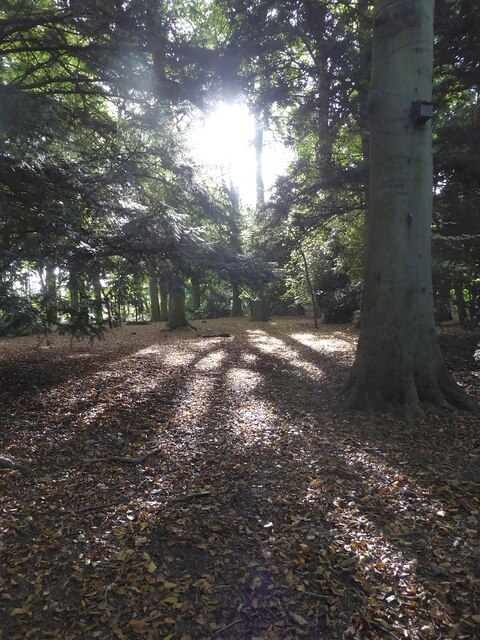
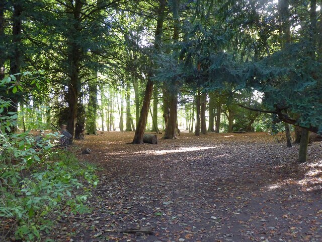
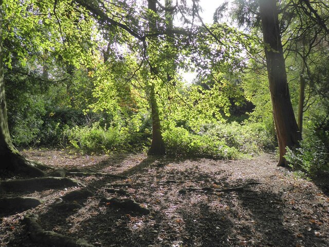
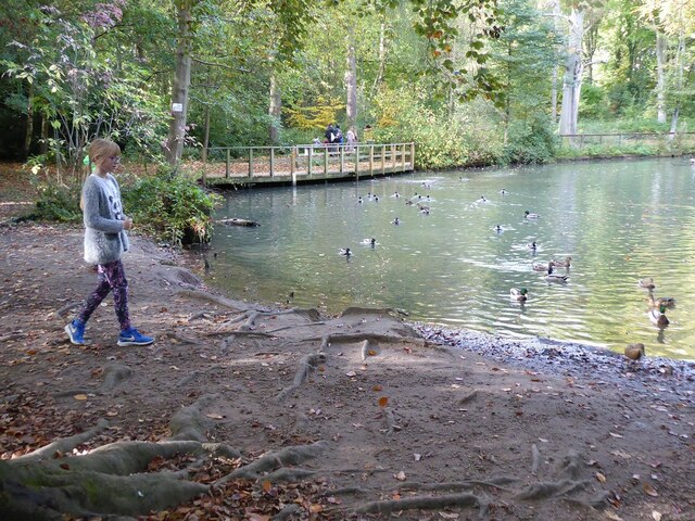
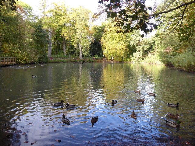
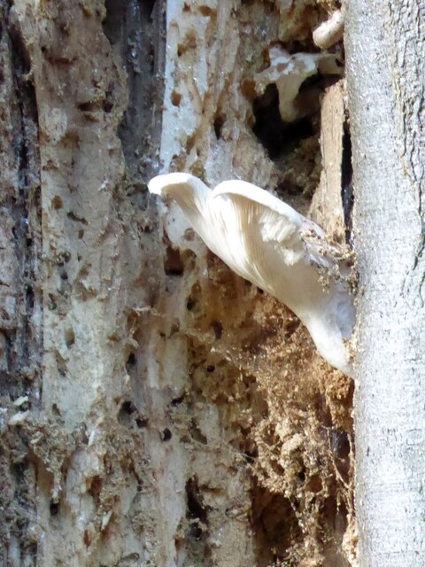
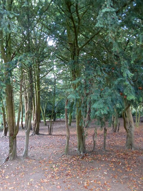
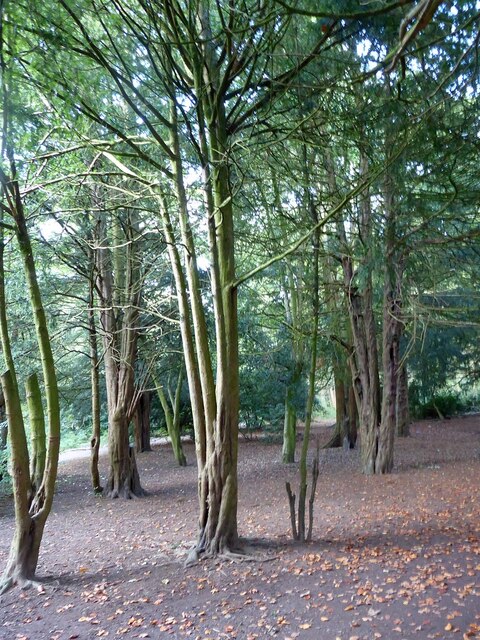
The Weald Moors, which extend to the east of the village, are of significant ecological importance. They are home to a diverse range of plant and animal species, including several rare and protected species. The area attracts wildlife enthusiasts and nature lovers who enjoy exploring the network of footpaths and bridleways that crisscross the moors.
Overall, Eyton upon the Weald Moors offers a peaceful and idyllic setting for those seeking a rural lifestyle, with the added convenience of nearby amenities and access to the natural beauty of the Weald Moors.
If you have any feedback on the listing, please let us know in the comments section below.
Eyton upon the Weald Moors Images
Images are sourced within 2km of 52.727926/-2.517072 or Grid Reference SJ6514. Thanks to Geograph Open Source API. All images are credited.


Eyton upon the Weald Moors is located at Grid Ref: SJ6514 (Lat: 52.727926, Lng: -2.517072)
Unitary Authority: Telford and Wrekin
Police Authority: West Mercia
What 3 Words
///hero.polo.equipment. Near Eyton upon the Weald Moors, Shropshire
Nearby Locations
Related Wikis
Eyton upon the Weald Moors
Eyton is a village and civil parish in Shropshire, England on the south-west edge of the Weald Moors, north of Wellington. Naturalist Thomas Campbell Eyton...
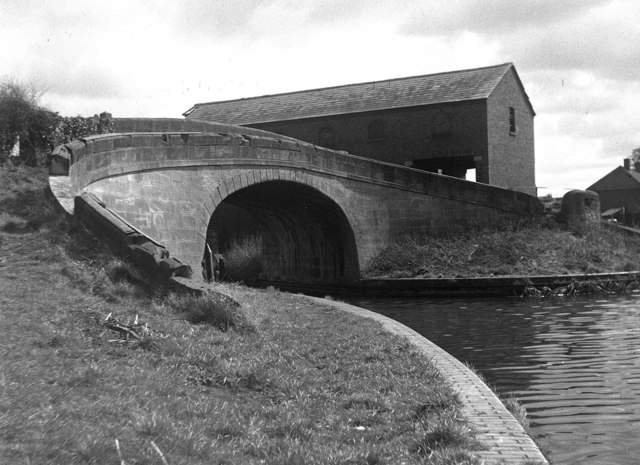
Wappenshall Junction
Wappenshall Junction (grid reference SJ662145) is a British canal junction located at Wappenshall, Shropshire. It was created when the Newport Branch Canal...
Shawbirch
Shawbirch is a residential area in the ceremonial county of Shropshire, in the Unitary Authority of Telford and Wrekin. It is located west of Admaston...

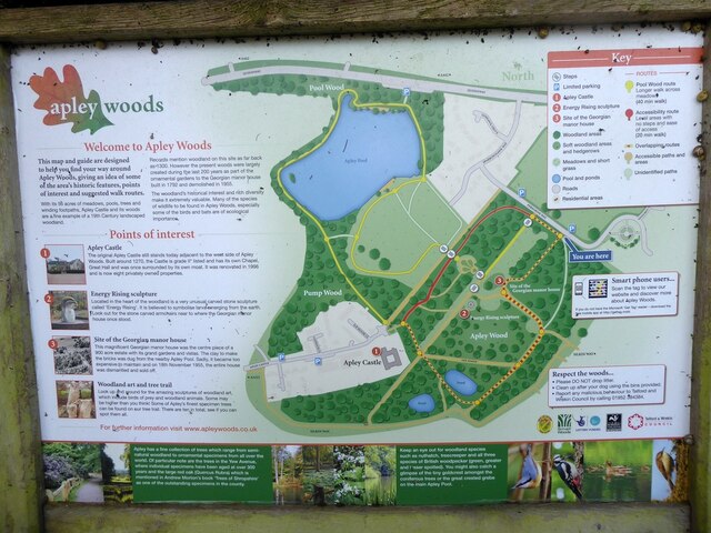
Apley Castle
Apley Castle was a medieval fortified manor in the village of Hadley, Shropshire, England. == History == Apley Castle was a moated, fortified manor house...
Nearby Amenities
Located within 500m of 52.727926,-2.517072Have you been to Eyton upon the Weald Moors?
Leave your review of Eyton upon the Weald Moors below (or comments, questions and feedback).