Park Covert
Wood, Forest in Shropshire
England
Park Covert

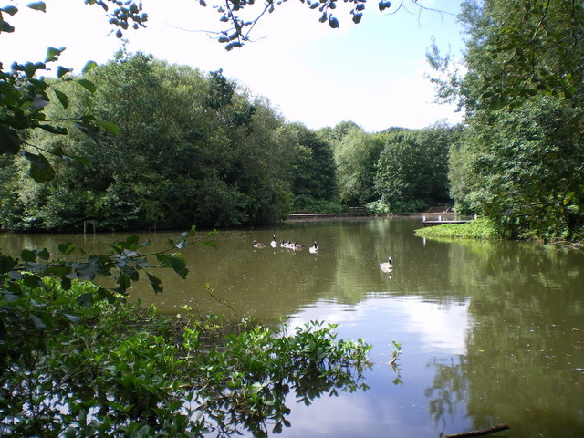
Park Covert is a picturesque woodland located in the county of Shropshire, England. Situated in the heart of the county, it is surrounded by the stunning landscape of the Shropshire Hills Area of Outstanding Natural Beauty. The covert spans over an area of approximately 50 acres and is known for its dense forest and diverse range of tree species.
The woodland is predominantly comprised of native broadleaf trees, including oak, beech, ash, and birch. These trees create a dense canopy that provides a haven for a variety of wildlife, including deer, badgers, foxes, and numerous bird species. The woodland floor is adorned with an array of wildflowers and ferns, adding to the natural beauty of the area.
Park Covert offers visitors a tranquil escape from the hustle and bustle of everyday life. It is a popular destination for nature lovers, hikers, and photographers, who are drawn to its scenic beauty and peaceful atmosphere. There are several well-marked walking trails that wind their way through the woodland, allowing visitors to explore its hidden corners and discover its hidden treasures.
In addition to its natural beauty, Park Covert also has historical significance. It is believed that the woodland has been in existence for centuries and was once part of a larger forest that covered much of the region. Remnants of ancient pathways and boundary walls can still be seen within the woodland, providing a glimpse into its rich past.
Overall, Park Covert in Shropshire is a captivating woodland that offers visitors a chance to immerse themselves in nature and experience the tranquility of the countryside. With its diverse range of flora and fauna, it is a haven for wildlife enthusiasts and nature lovers alike.
If you have any feedback on the listing, please let us know in the comments section below.
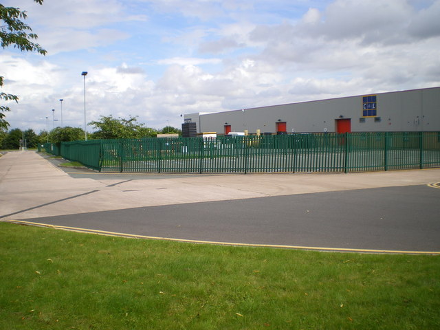
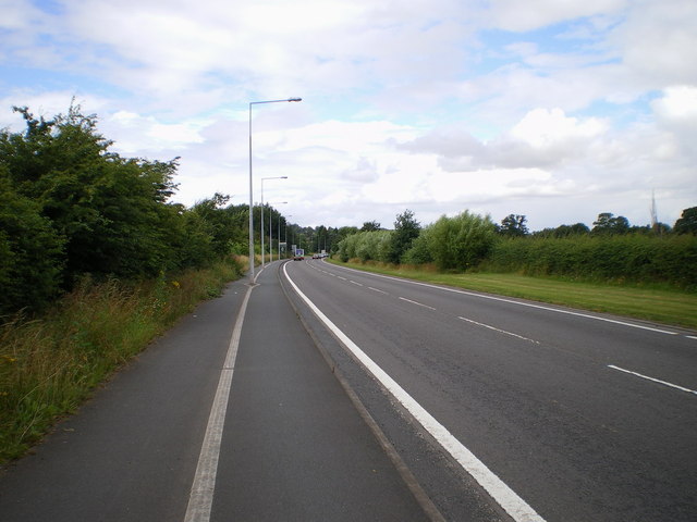
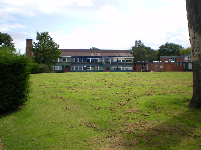
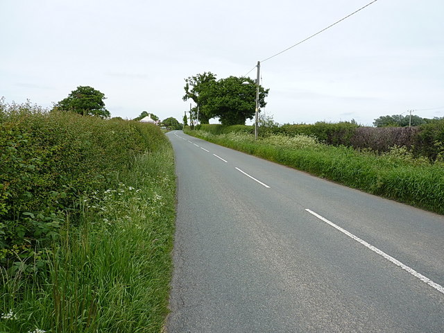
Park Covert Images
Images are sourced within 2km of 52.723909/-2.5117917 or Grid Reference SJ6514. Thanks to Geograph Open Source API. All images are credited.


Park Covert is located at Grid Ref: SJ6514 (Lat: 52.723909, Lng: -2.5117917)
Unitary Authority: Telford and Wrekin
Police Authority: West Mercia
What 3 Words
///unicorns.earlobe.spooked. Near Eyton upon the Weald Moors, Shropshire
Nearby Locations
Related Wikis
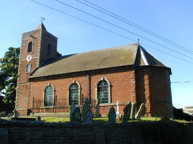
Eyton upon the Weald Moors
Eyton is a village and civil parish in Shropshire, England on the south-west edge of the Weald Moors, north of Wellington. Naturalist Thomas Campbell Eyton...
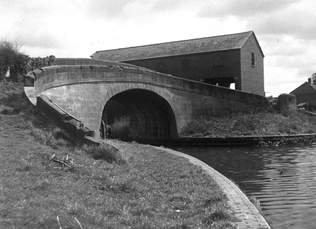
Wappenshall Junction
Wappenshall Junction (grid reference SJ662145) is a British canal junction located at Wappenshall, Shropshire. It was created when the Newport Branch Canal...

Apley Castle
Apley Castle was a medieval fortified manor in the village of Hadley, Shropshire, England. == History == Apley Castle was a moated, fortified manor house...
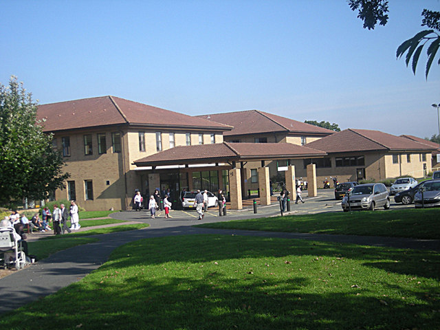
Princess Royal Hospital, Telford
The Princess Royal Hospital is a teaching hospital located in Apley Castle, Telford, England. It forms the Telford site of the Shrewsbury and Telford Hospital...
Nearby Amenities
Located within 500m of 52.723909,-2.5117917Have you been to Park Covert?
Leave your review of Park Covert below (or comments, questions and feedback).