Wappenshall Covert
Wood, Forest in Shropshire
England
Wappenshall Covert
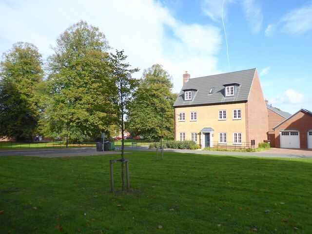
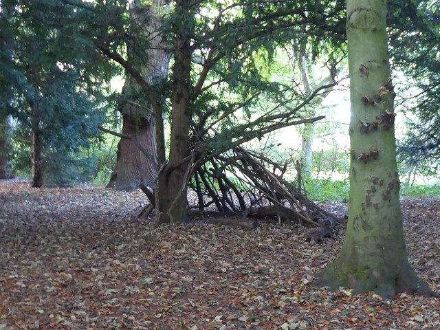
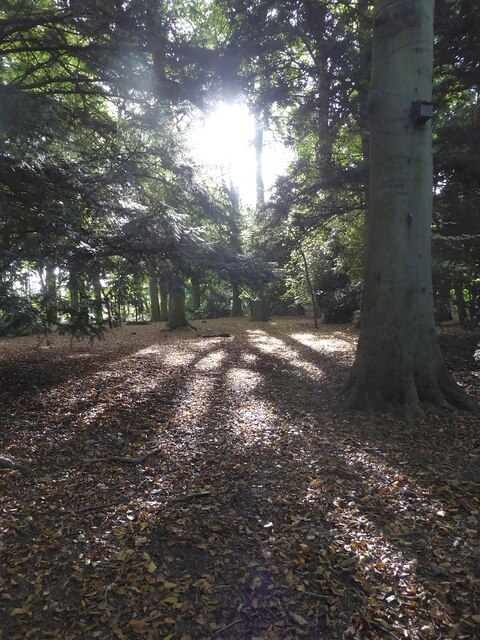
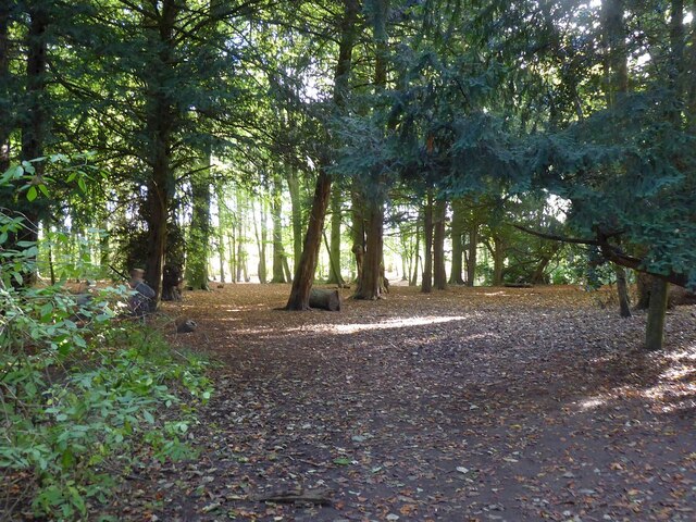
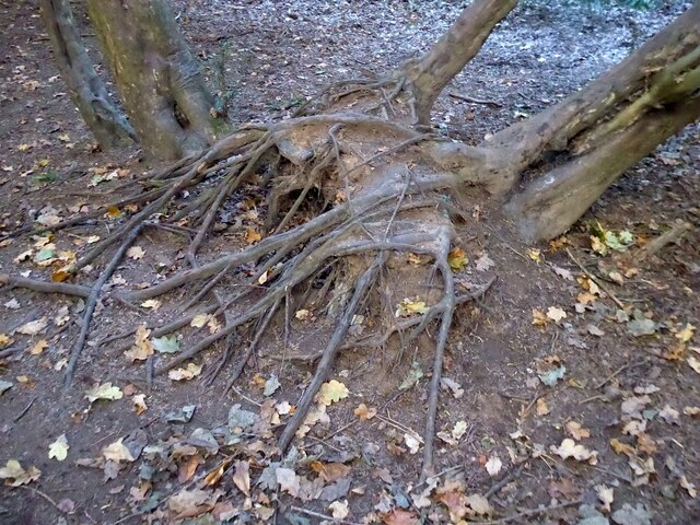
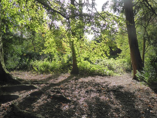
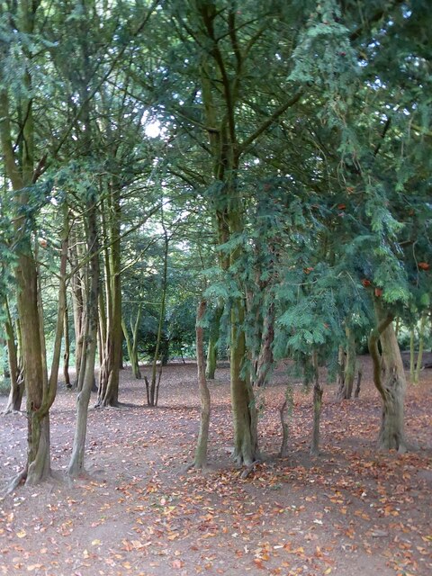
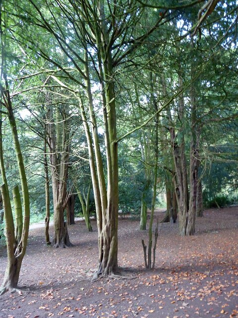
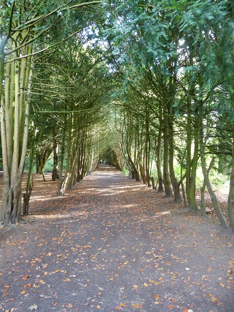
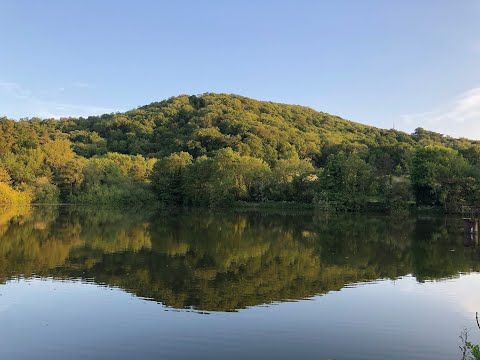
Wappenshall Covert is a picturesque woodland area located in the county of Shropshire, England. This ancient woodland covers an approximate area of 100 acres and is characterized by a diverse range of tree species, including oak, birch, beech, and ash. The woodland is situated near the village of Wappenshall and is surrounded by rolling hills and open fields, adding to its natural charm and beauty.
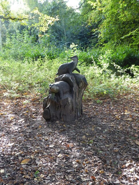
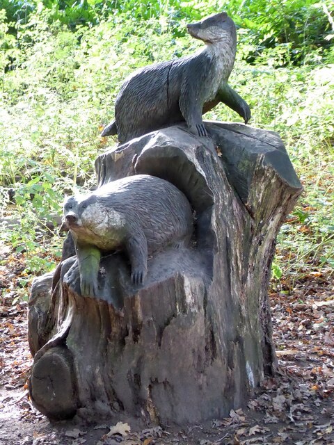
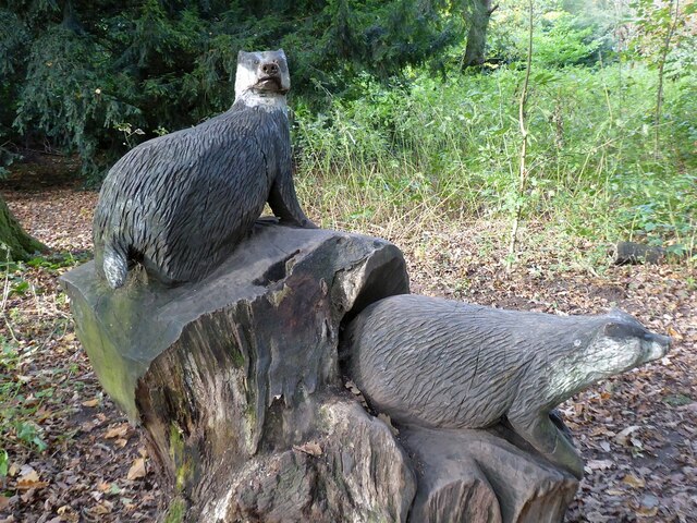
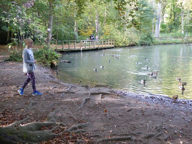
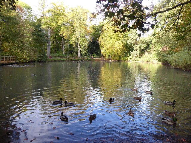
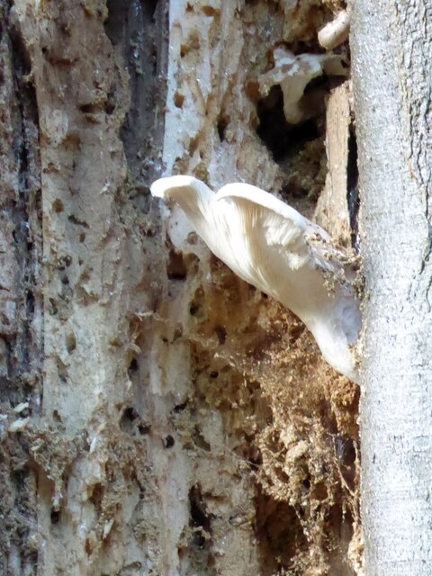
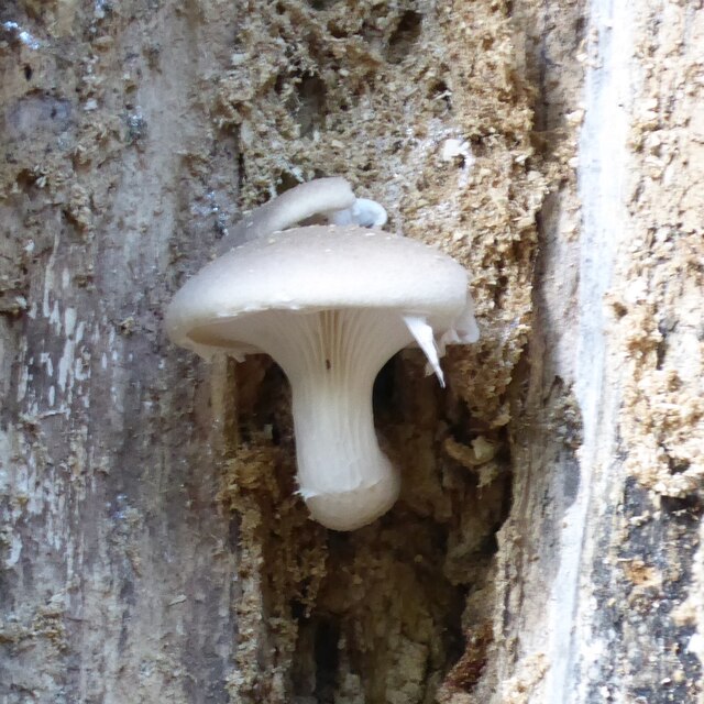
Wappenshall Covert is known for its rich biodiversity, providing a habitat for a variety of wildlife species. Visitors to the woodland may encounter native mammals such as deer, foxes, and badgers, as well as a plethora of bird species, including woodpeckers, owls, and songbirds. The woodland is also home to numerous insects, amphibians, and reptiles, contributing to its ecological importance.
The woodland offers a peaceful and tranquil environment for nature enthusiasts and provides opportunities for recreational activities such as walking, birdwatching, and photography. There are well-maintained trails and footpaths that enable visitors to explore the woodland and appreciate its natural wonders.
Wappenshall Covert holds historical significance as well, with evidence of human activity dating back to prehistoric times. The woodland has remnants of ancient settlements, including earthworks and burial mounds, which provide insights into the area's past.
Overall, Wappenshall Covert is a captivating woodland that showcases the beauty of nature and offers an escape from the hustle and bustle of everyday life. Its diverse ecosystem and historical significance make it a valuable asset to the county of Shropshire.
If you have any feedback on the listing, please let us know in the comments section below.
Wappenshall Covert Images
Images are sourced within 2km of 52.728678/-2.506576 or Grid Reference SJ6514. Thanks to Geograph Open Source API. All images are credited.

Wappenshall Covert is located at Grid Ref: SJ6514 (Lat: 52.728678, Lng: -2.506576)
Unitary Authority: Telford and Wrekin
Police Authority: West Mercia
What 3 Words
///revamping.costly.scans. Near Eyton upon the Weald Moors, Shropshire
Nearby Locations
Related Wikis
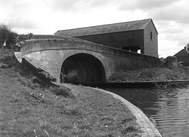
Wappenshall Junction
Wappenshall Junction (grid reference SJ662145) is a British canal junction located at Wappenshall, Shropshire. It was created when the Newport Branch Canal...
Eyton upon the Weald Moors
Eyton is a village and civil parish in Shropshire, England on the south-west edge of the Weald Moors, north of Wellington. Naturalist Thomas Campbell Eyton...

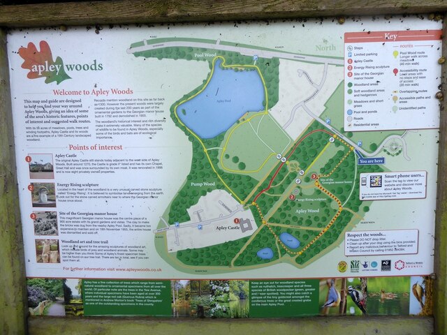
Apley Castle
Apley Castle was a medieval fortified manor in the village of Hadley, Shropshire, England. == History == Apley Castle was a moated, fortified manor house...
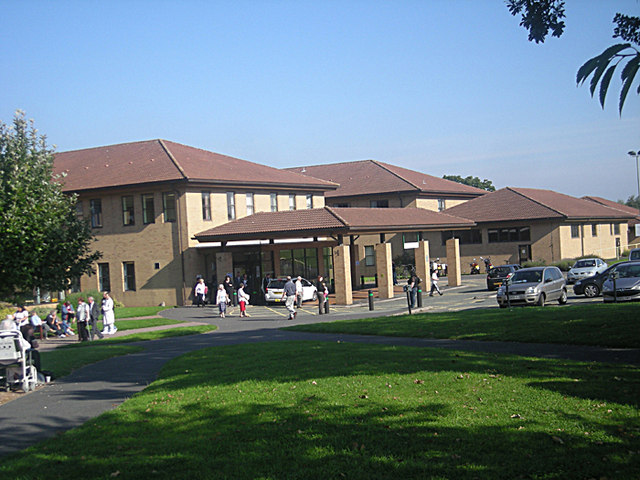
Princess Royal Hospital, Telford
The Princess Royal Hospital is a teaching hospital located in Apley Castle, Telford, England. It forms the Telford site of the Shrewsbury and Telford Hospital...
Related Videos

Hiking Telford Wrekin 😍 #westmidlands #england #hiking #adventure #summer #uk #travel #explorepage
Just some of the countryside views that can be seen when hiking to the top of The Wrekin in Telford. For photos and a list of other ...

The Silkin Way - Telford - Stirchley to Bratton - Narrated History Tour
The Silkin way was opened in 1977 by James Callaghan The 14 mile South to North route was designed to take advantage of the ...

Hiking a giant 1335 feet hill with my freinds... 🌍 (wrekin)
I decided to hike a 407 metre hill with my freind. This is a family friendly entertainment vlog. Sit down and enjoy this video. This is ...
Telford T50 Day 2: Lilleshall To The Wrekin
The Telford T50 Trail goes through the major open spaces in Telford. From Telford Town Park it links together parks, woods, pools ...
Nearby Amenities
Located within 500m of 52.728678,-2.506576Have you been to Wappenshall Covert?
Leave your review of Wappenshall Covert below (or comments, questions and feedback).