Green Hills Wood

Wood, Forest in Lancashire

England

Green Hills Wood

Ascending towards Stanworth Farm Climbing through this pasture towards the farm, with the M65 as a companion - just out of shot to the right.
This shows the view in the opposite direction <a href="https://www.geograph.org.uk/photo/6904525">SM8602 : Pele Tower</a>
Ascending towards Stanworth Farm Credit: Chris Heaton

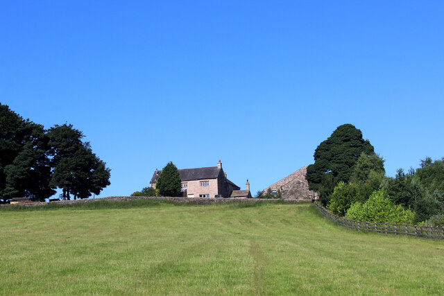
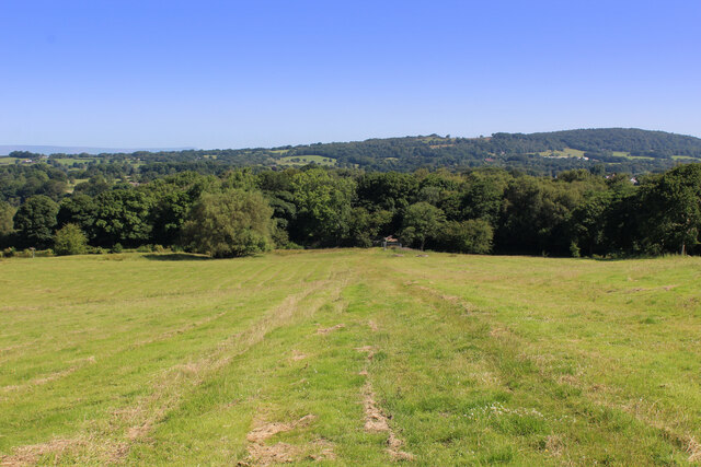
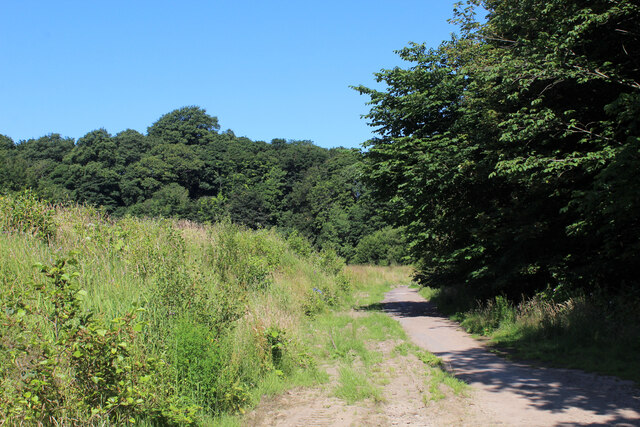
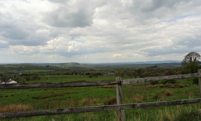
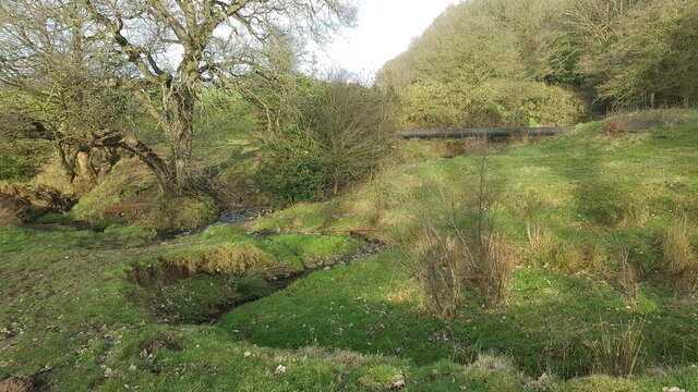
Green Hills Wood is a stunning forest located in the county of Lancashire, England. Spanning over a vast area, the wood is a haven for nature enthusiasts and those seeking tranquility amidst the beauty of nature. The wood is situated on a series of rolling hills, giving it a unique topography that adds to its charm.

The dense forest is predominantly composed of various species of deciduous and evergreen trees, creating a rich tapestry of colors throughout the seasons. Towering oak, beech, and ash trees dominate the landscape, providing a lush canopy that shelters a diverse range of flora and fauna.

Walking through Green Hills Wood, one can encounter a plethora of wildlife. The forest is home to an array of bird species, including woodpeckers, owls, and migratory birds. Additionally, one might catch a glimpse of small mammals such as rabbits, squirrels, and foxes darting through the undergrowth.

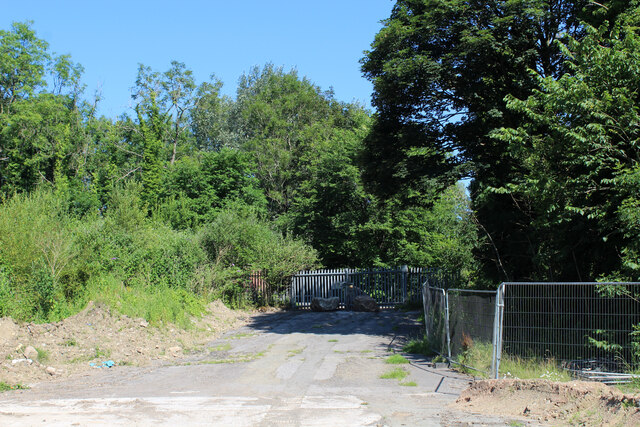
For outdoor enthusiasts, Green Hills Wood offers a network of well-maintained trails that crisscross the forest, allowing visitors to explore its hidden corners and discover its natural wonders. These trails cater to all levels of fitness and provide opportunities for leisurely strolls or more challenging hikes.

In addition to its natural beauty, Green Hills Wood also boasts several picnic areas and benches strategically placed throughout the forest, providing visitors with the perfect spots to relax and immerse themselves in the serenity of the surroundings.

Green Hills Wood is a true gem in Lancashire, offering a peaceful escape from the hustle and bustle of everyday life. Its breathtaking scenery, abundant wildlife, and well-maintained trails make it a must-visit destination for nature lovers and those seeking a tranquil retreat.

If you have any feedback on the listing, please let us know in the comments section below.

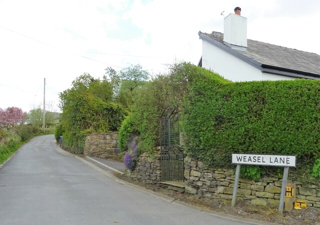
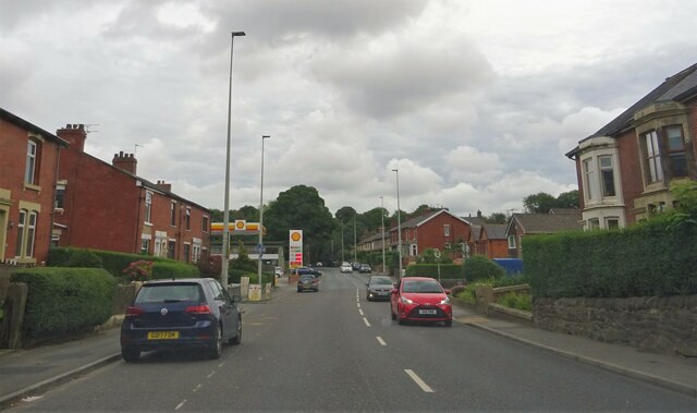
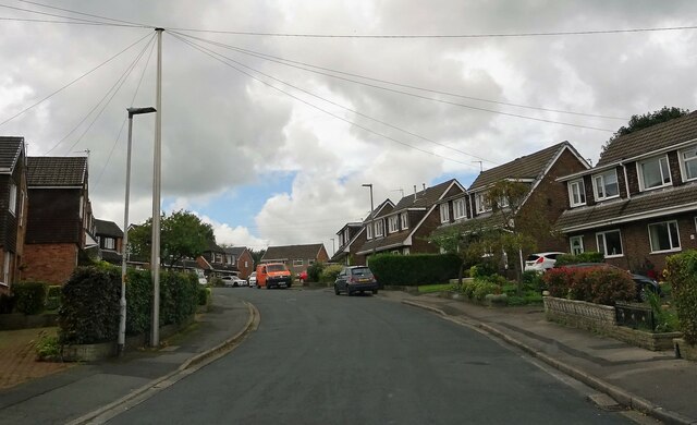
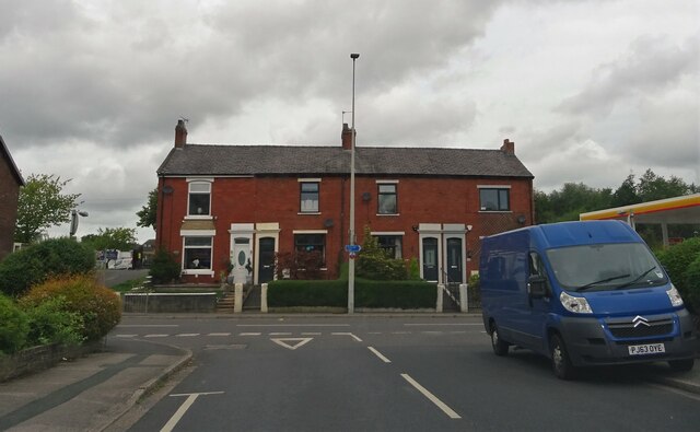
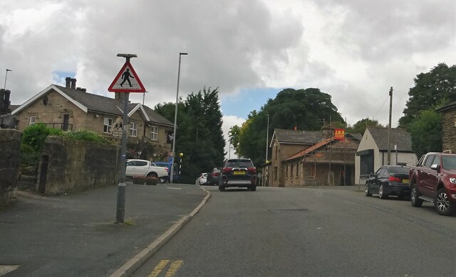
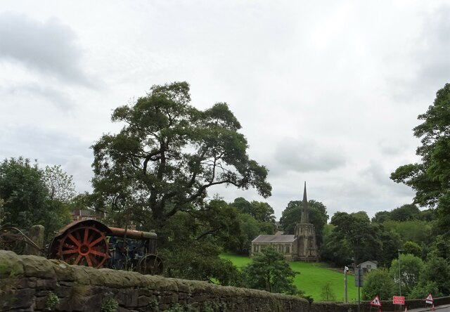
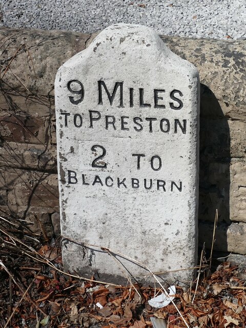
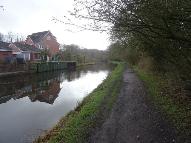
Green Hills Wood Images

Images are sourced within 2km of 53.720106/-2.5181915 or Grid Reference SD6524. Thanks to Geograph Open Source API. All images are credited.

Ascending towards Stanworth Farm Climbing through this pasture towards the farm, with the M65 as a companion - just out of shot to the right.
This shows the view in the opposite direction <a href="https://www.geograph.org.uk/photo/6904525">SM8602 : Pele Tower</a>
Ascending towards Stanworth Farm
Climbing through this pasture towards the farm, with the M65 as a companion - just out of shot to the right. This shows the view in the opposite direction SM8602 : Pele Tower
M65 crossing the Stanworth Valley The motorway crossing above the wooded trench, which conceals the River Roddlesworth - on the Stanworth Valley Viaduct.
This shows the view in the opposite direction <a href="https://www.geograph.org.uk/photo/6904510">SD6424 : Ascending towards Stanworth Farm</a>
M65 crossing the Stanworth Valley
The motorway crossing above the wooded trench, which conceals the River Roddlesworth - on the Stanworth Valley Viaduct. This shows the view in the opposite direction SD6424 : Ascending towards Stanworth Farm
Under the M65 Concrete supports that carry the M65 over the wooded valley that conceals the River Roddlesworth from view - otherwise known as the Stanworth Valley Viaduct.
The Witton Weavers Way long distance footpath also passes under this structure.
Under the M65
Concrete supports that carry the M65 over the wooded valley that conceals the River Roddlesworth from view - otherwise known as the Stanworth Valley Viaduct. The Witton Weavers Way long distance footpath also passes under this structure.
Witton Weavers Way descending towards Stanworth Bridge Descending through pasture towards the Leeds and Liverpool Canal, by the edge of the woods
Witton Weavers Way descending towards Stanworth Bridge
Descending through pasture towards the Leeds and Liverpool Canal, by the edge of the woods
The Witton Weavers Way crosses Waste Ground near Feniscowles A 32 mile circular long distance footpath starting and finishing in Witton Country Park to the west of Blackburn. The route explores weavers cottages, ancient halls, country estates and historic villages.
Within the circuit, there are 4 shorter walks with the unusual titles of Beamers, Reelers, Tacklers and Warpers.
The Witton Weavers Way crosses Waste Ground near Feniscowles
A 32 mile circular long distance footpath starting and finishing in Witton Country Park to the west of Blackburn. The route explores weavers cottages, ancient halls, country estates and historic villages. Within the circuit, there are 4 shorter walks with the unusual titles of Beamers, Reelers, Tacklers and Warpers.
The Witton Weavers Way approaching the A674 The long distance footpath crosses the Leeds and Liverpool Canal, before descending into an area of waste ground that takes the route onto the A674 in Feniscowles.
The Witton Weavers Way approaching the A674
The long distance footpath crosses the Leeds and Liverpool Canal, before descending into an area of waste ground that takes the route onto the A674 in Feniscowles.
Moorland Drive, Green Hills, Livesey Looking up Moorland Drive, entrance to the recently-built Green Hills estate.
Moorland Drive, Green Hills, Livesey
Looking up Moorland Drive, entrance to the recently-built Green Hills estate.
A view from Tockholes Looking towards Edge Hill.
A view from Tockholes
Looking towards Edge Hill.
Weasel Lane At Tockholes.
Weasel Lane
At Tockholes.
Preston Old Road In Feniscowles.
Preston Old Road
In Feniscowles.
Park Farm Road In Feniscowles.
Park Farm Road
In Feniscowles.
Preston Old Road From Park Farm Road in Feniscowles.
Preston Old Road
From Park Farm Road in Feniscowles.
Preston Old Road In Feniscowles.
Preston Old Road
In Feniscowles.
Church of Immanuel A C. of E. church at Feniscowles. The building is Grade II listed. The old tractor in the left foreground is currently being used as a garden ornament.
Church of Immanuel
A C. of E. church at Feniscowles. The building is Grade II listed. The old tractor in the left foreground is currently being used as a garden ornament.
Old Milestone, A674, Preston Old Road, Blackburn The milestone is located against the wall at the back of the pavement, outside Mambo’s Tanning Centre, no. 434, on the north west side of the road. Parish of Livesey (Blackburn with Darwen District). Carved stone post, erected by the Bolton & Blackburn turnpike trust (Livesey branch) in the 19th century. 

Inscription reads:-
9 MILES / TO PRESTON / 2 TO / BLACKBURN 

Milestone Society National ID: LA_PSBB09
Old Milestone, A674, Preston Old Road, Blackburn
The milestone is located against the wall at the back of the pavement, outside Mambo’s Tanning Centre, no. 434, on the north west side of the road. Parish of Livesey (Blackburn with Darwen District). Carved stone post, erected by the Bolton & Blackburn turnpike trust (Livesey branch) in the 19th century. Inscription reads:- 9 MILES / TO PRESTON / 2 TO / BLACKBURN Milestone Society National ID: LA_PSBB09
OS Flush Bracket Flush Bracket G3395: Feniscowles.
OS Flush Bracket
Flush Bracket G3395: Feniscowles.
The Streams, Feniscowles A number of streams emerge and combine to the west of the Three Arches in Feniscowles, draining areas around Horden Farm and the new Greenfields estate.
Here is one cutting through glacial till in a field.
The Streams, Feniscowles
A number of streams emerge and combine to the west of the Three Arches in Feniscowles, draining areas around Horden Farm and the new Greenfields estate. Here is one cutting through glacial till in a field.
Canal towpath at Feniscowles The towpath on the Leeds & Liverpool Canal heading out of Feniscowles towards Stanworth (eventually).
Canal towpath at Feniscowles
The towpath on the Leeds & Liverpool Canal heading out of Feniscowles towards Stanworth (eventually).
Show me another place!

Green Hills Wood is located at Grid Ref: SD6524 (Lat: 53.720106, Lng: -2.5181915)

Unitary Authority: Blackburn with Darwen

Police Authority: Lancashire

What 3 Words

///liner.flames.vent. Near Blackburn, Lancashire

Related Wikis

Livesey

Livesey is a civil parish in the unitary borough of Blackburn with Darwen, in the ceremonial county of Lancashire, England. The population of the civil...

St Bede's Roman Catholic High School, Blackburn

St Bede's RC High School is a coeducational Roman Catholic secondary school located in Blackburn in the English county of Lancashire.It is a voluntary...

Feniscowles railway station

Feniscowles railway station was a railway station that served the village of Feniscowles, in Blackburn with Darwen in Lancashire, England. == History... ==

Cherry Tree railway station

Cherry Tree railway station serves Cherry Tree in the Blackburn with Darwen borough of Lancashire, England. The station is 1.9 miles (3 km) southwest of...

St Andrew's Church, Blackburn

St Andrew's Church is in Livesey Branch Road, Blackburn, Lancashire, England. It is a redundant Anglican church designed by the Lancaster architect E...

Feniscowles

Feniscowles is a village in the unitary authority of Blackburn with Darwen, Lancashire, England. It lies approximately 3 miles (4.8 km) west of Blackburn...

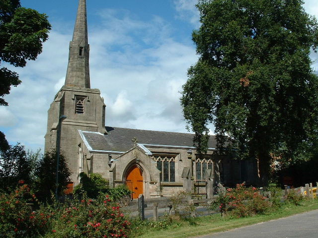
Immanuel Church, Feniscowles

Immanuel Church is in the village of Feniscowles, near Blackburn, Lancashire, England. It is an active Anglican parish church in the deanery of Blackburn...

Tockholes

Tockholes is a village and civil parish which forms part of the Blackburn with Darwen unitary authority in the English county of Lancashire, England. Tockholes...

Related Videos

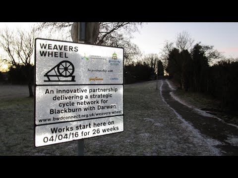
Witton Weavers Way - Walk 2 - The Reelers Trail

Circular trail walk from Cherry Tree , Blackburn.

Roddlesworth reservoir. A walk with an American . #dogoftheday #dogwalk #k9

A lovely walk around Roddlesworth reservoir. We let an American walk around with us today. this is a better walk in the winter in ...

Nearby Amenities

Located within 500m of 53.720106,-2.5181915
Mini Roundabout
Lat/Long: 53.7188476/-2.5123563
Barrier: cattle_grid
Foot: yes
Lat/Long: 53.7187869/-2.5122583
Barrier: stile
Foot: yes
Material: stone
Stile: squeezer
Lat/Long: 53.7188507/-2.5253621
Barrier: cattle_grid
Foot: yes
Lat/Long: 53.720737/-2.5238426
Barrier: stile
Foot: yes
Lat/Long: 53.7210647/-2.523686
Barrier: stile
Foot: yes
Lat/Long: 53.7225623/-2.5225709
Barrier: stile
Foot: yes
Lat/Long: 53.7220661/-2.5229571
Power: tower
Lat/Long: 53.7173311/-2.513514
The data included in this document is from www.openstreetmap.org. The data is made available under ODbL.

Have you been to Green Hills Wood?

Leave your review of Green Hills Wood below (or comments, questions and feedback).