Mitcheldean Common
Wood, Forest in Gloucestershire Forest of Dean
England
Mitcheldean Common

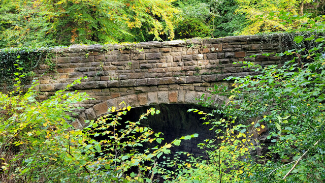
Mitcheldean Common is a stunning woodland area located in Gloucestershire, England. Spanning approximately 400 acres, it is a designated Site of Special Scientific Interest (SSSI) due to its unique ecological and historical significance. The common sits on the edge of the Forest of Dean, one of the largest remaining ancient woodlands in the country.
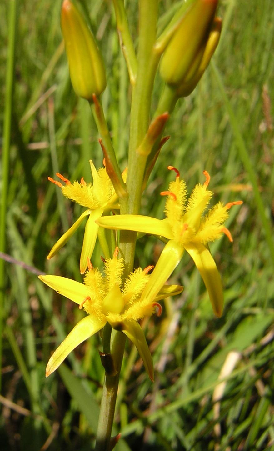
The woodland is predominantly composed of oak, beech, and ash trees, creating a dense canopy that provides a habitat for a diverse range of flora and fauna. Bluebells, wild garlic, and wood sorrel carpet the forest floor during spring, offering a picturesque scene. The Common is also home to various bird species, including the rare pied flycatcher and wood warbler, making it a popular spot for birdwatching enthusiasts.
In addition to its natural beauty, Mitcheldean Common is steeped in history. It was once part of the Royal Hunting Forest and contains the remains of medieval charcoal platforms, evidence of the area's historical importance in the production of charcoal for the iron industry. These platforms are a reminder of the common's past use and contribute to its cultural significance.
The woodland offers a network of trails and paths, allowing visitors to explore its tranquil surroundings. It is a popular destination for walkers, nature lovers, and photographers who appreciate its serene atmosphere and stunning vistas. The Common is managed by the Forestry Commission, ensuring the preservation of its unique ecology and heritage for future generations to enjoy.
If you have any feedback on the listing, please let us know in the comments section below.
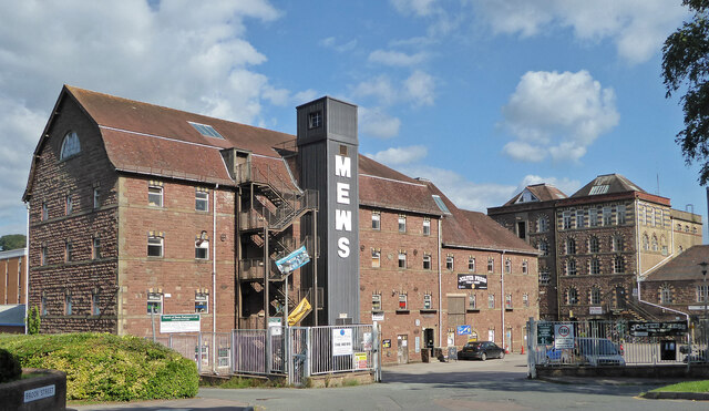
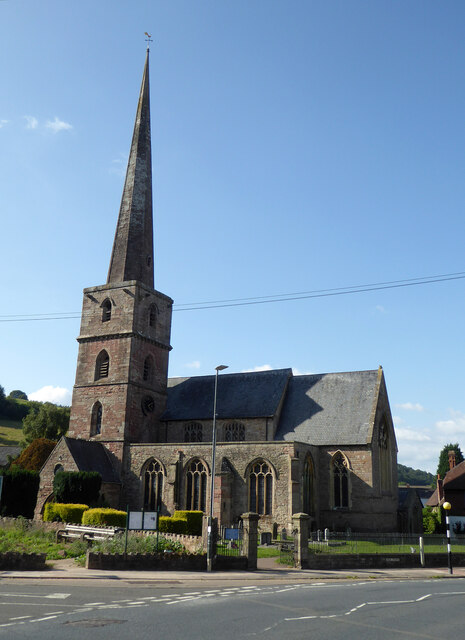
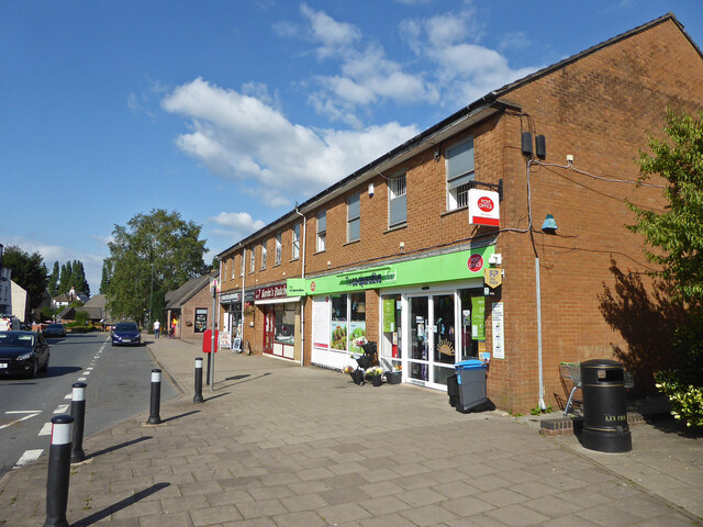
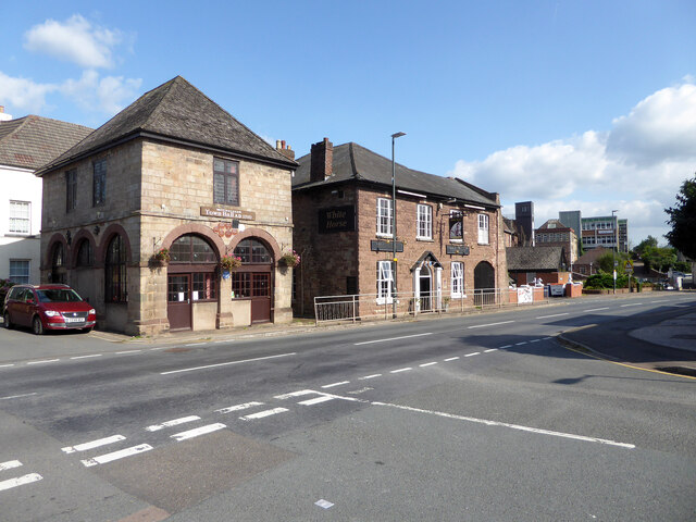
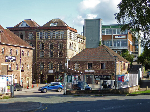
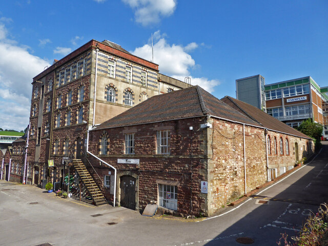
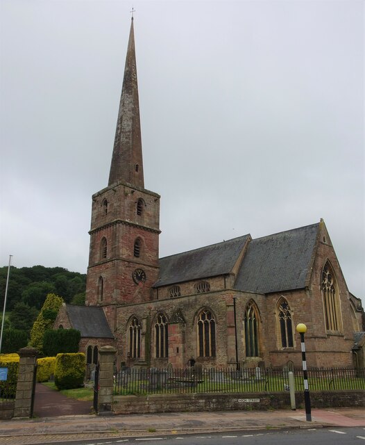
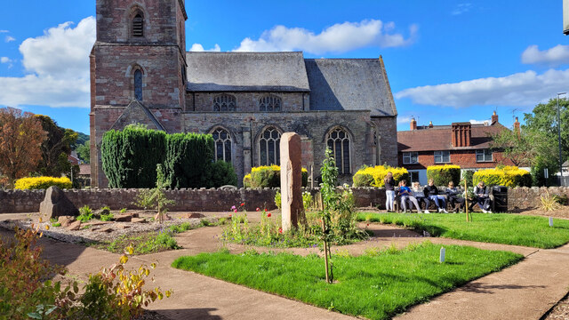
Mitcheldean Common Images
Images are sourced within 2km of 51.881293/-2.4967731 or Grid Reference SO6520. Thanks to Geograph Open Source API. All images are credited.


Mitcheldean Common is located at Grid Ref: SO6520 (Lat: 51.881293, Lng: -2.4967731)
Administrative County: Gloucestershire
District: Forest of Dean
Police Authority: Gloucestershire
What 3 Words
///donation.atlas.mandolin. Near Mitcheldean, Gloucestershire
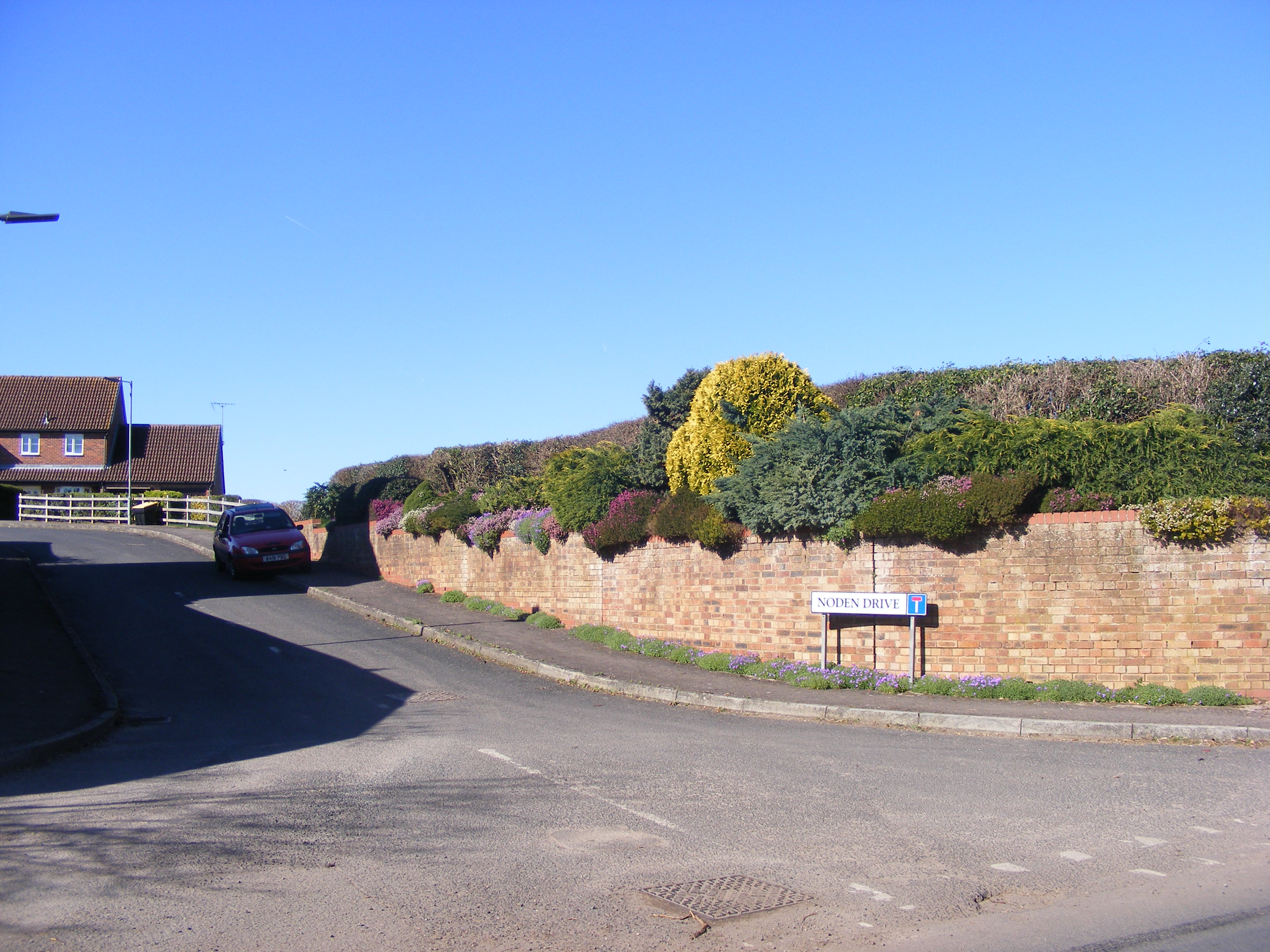
Nearby Locations
Related Wikis

Wigpool Ironstone Mine
Wigpool Ironstone Mine (grid reference SO654197) is a 34.88-hectare (86.2-acre) biological Site of Special Scientific Interest in Gloucestershire, notified...
Mitcheldean Road railway station
Mitcheldean Road railway station was a railway station that served the town of Mitcheldean 1.5 miles (2.4 km) to the south and the village of Lea in Herefordshire...
Wigpool
Wigpool (grid reference SO652196) is a 7.5-hectare (19-acre) nature reserve in Gloucestershire in the Forest of Dean, England.The site is managed jointly...

Lea, Herefordshire
Lea (or The Lea) is a village and civil parish in the south east of Herefordshire. It lies south-east of Ross-on-Wye and adjoins the boundary of Gloucestershire...
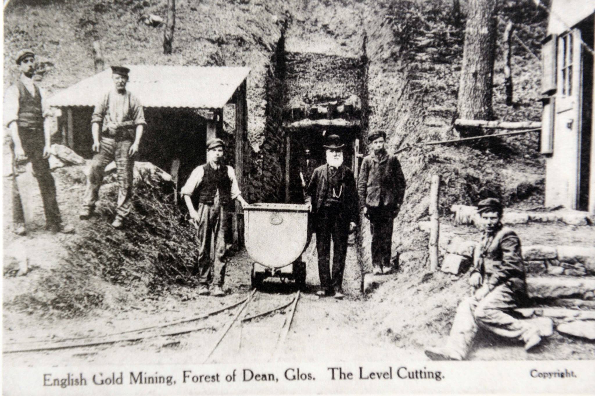
Bailey Level Gold Mine
Bailey Level is a former gold mine and iron mine in the Forest of Dean, England. The mine and surface features are currently managed by volunteer members...

Boxbush
Boxbush is a village in Gloucestershire, England. == References ==
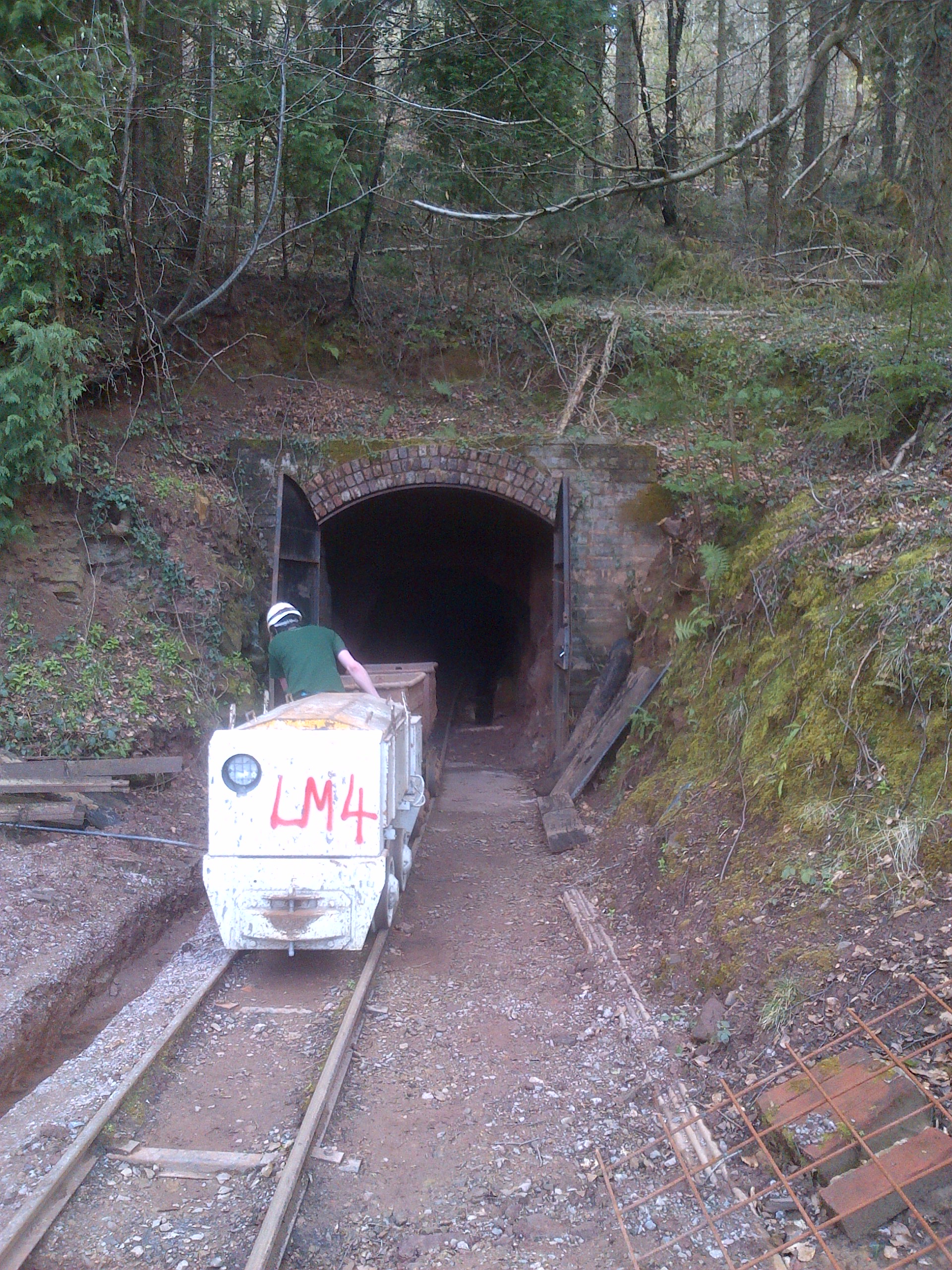
Lea Bailey Light Railway
The Lea Bailey Light Railway is a 2 ft (610 mm) narrow-gauge heritage railway in the United Kingdom. It is built on the site of the Bailey Level Gold Mine...

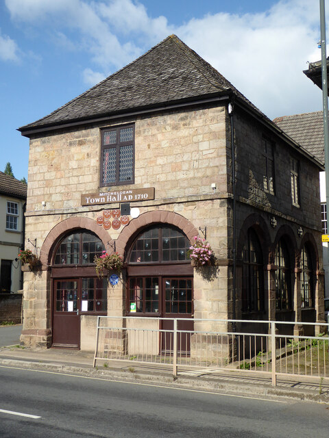
Mitcheldean Town Hall
Mitcheldean Town Hall is a municipal building in the High Street in Mitcheldean, Gloucestershire, England. The structure, which operates as the offices...
Nearby Amenities
Located within 500m of 51.881293,-2.4967731Have you been to Mitcheldean Common?
Leave your review of Mitcheldean Common below (or comments, questions and feedback).