Dean, East
Settlement in Gloucestershire Forest of Dean
England
Dean, East
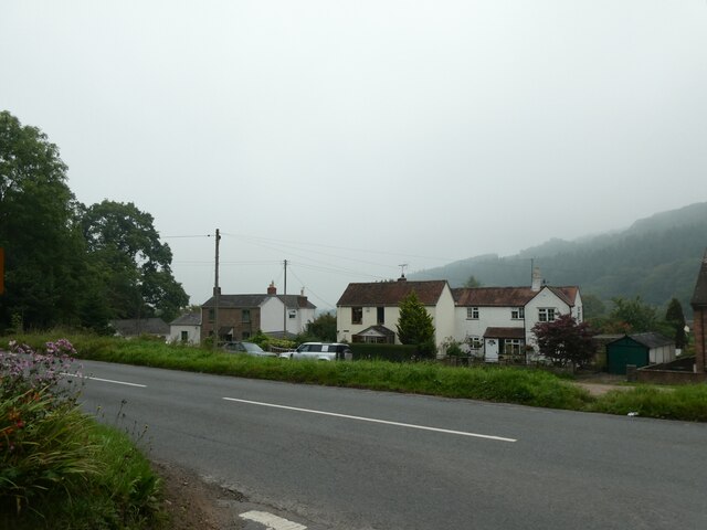
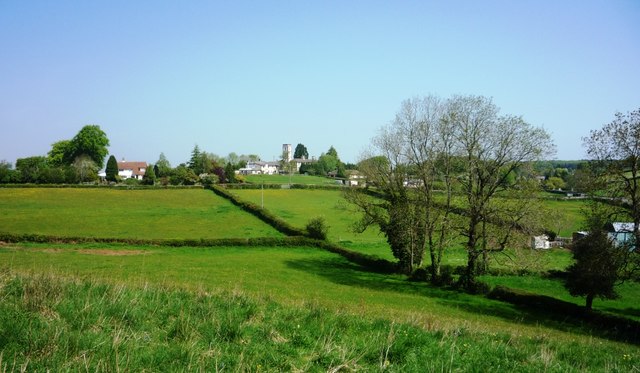
Dean, East is a small village located in the county of Gloucestershire, England. Situated in the heart of the picturesque Forest of Dean, this rural settlement is characterized by its stunning natural beauty and rich cultural heritage.
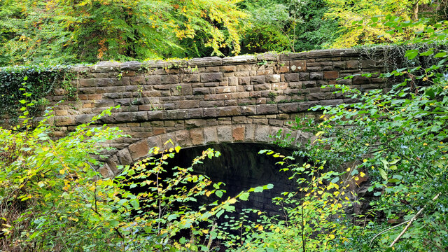
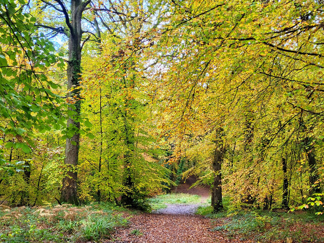
The village is surrounded by lush greenery and dense woodland, making it an ideal destination for nature enthusiasts and outdoor lovers. The Forest of Dean, with its ancient trees and diverse wildlife, offers numerous opportunities for hiking, cycling, and wildlife spotting. The area is also known for its scenic walking trails, such as the off-road Wysis Way and the popular Gloucestershire Way.
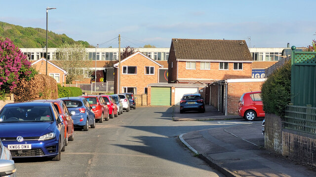
In terms of amenities, Dean, East provides a range of facilities to cater to its residents' needs. The village has a primary school, a community center, and a local pub, which acts as a social hub for both locals and visitors. Additionally, the nearby town of Lydney offers additional services and amenities, including supermarkets, shops, and medical facilities.
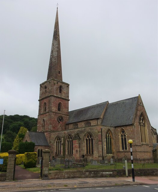
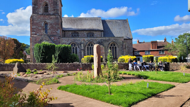
For those interested in history and culture, Dean, East boasts a number of historical sites and landmarks. The village is home to several ancient churches, including the Grade I listed St. Ethelbert's Church, which dates back to the 12th century. The area is also known for its connection to the mining industry, with remnants of old coal mines and ironworks scattered throughout the landscape.
Overall, Dean, East is a charming village nestled within the enchanting Forest of Dean, offering a tranquil and idyllic setting for residents and visitors alike.
If you have any feedback on the listing, please let us know in the comments section below.
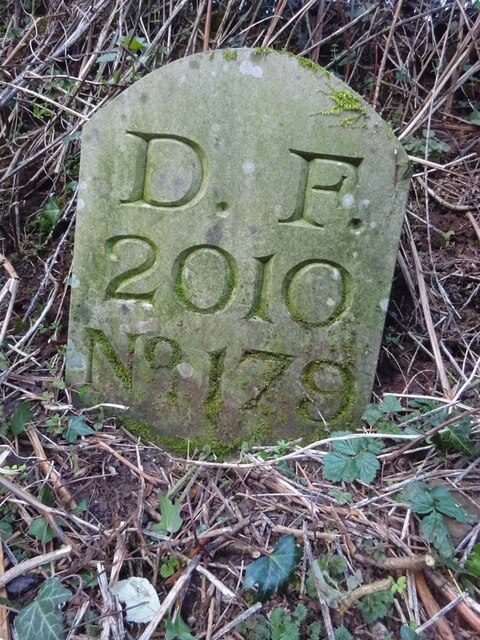
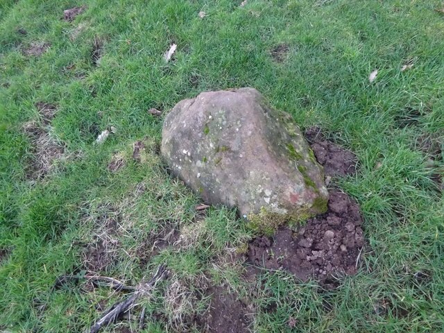
Dean, East Images
Images are sourced within 2km of 51.877461/-2.5098339 or Grid Reference SO6520. Thanks to Geograph Open Source API. All images are credited.


Dean, East is located at Grid Ref: SO6520 (Lat: 51.877461, Lng: -2.5098339)
Administrative County: Gloucestershire
District: Forest of Dean
Police Authority: Gloucestershire
What 3 Words
///heeding.painted.brilliant. Near Mitcheldean, Gloucestershire
Nearby Locations
Related Wikis
Wigpool
Wigpool (grid reference SO652196) is a 7.5-hectare (19-acre) nature reserve in Gloucestershire in the Forest of Dean, England. The site is managed jointly...

Wigpool Ironstone Mine
Wigpool Ironstone Mine (grid reference SO654197) is a 34.88-hectare (86.2-acre) biological Site of Special Scientific Interest in Gloucestershire, notified...
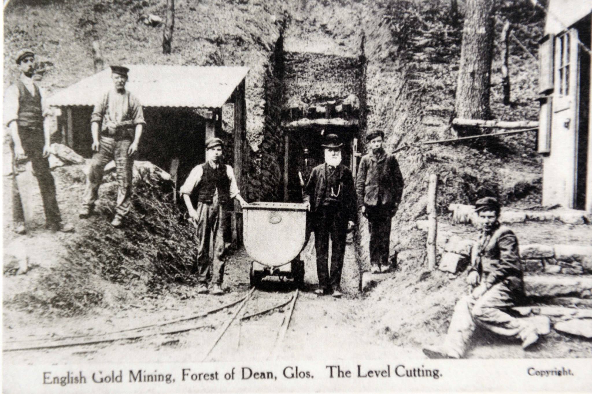
Bailey Level Gold Mine
Bailey Level is a former gold mine and iron mine in the Forest of Dean, England. The mine and surface features are currently managed by volunteer members...
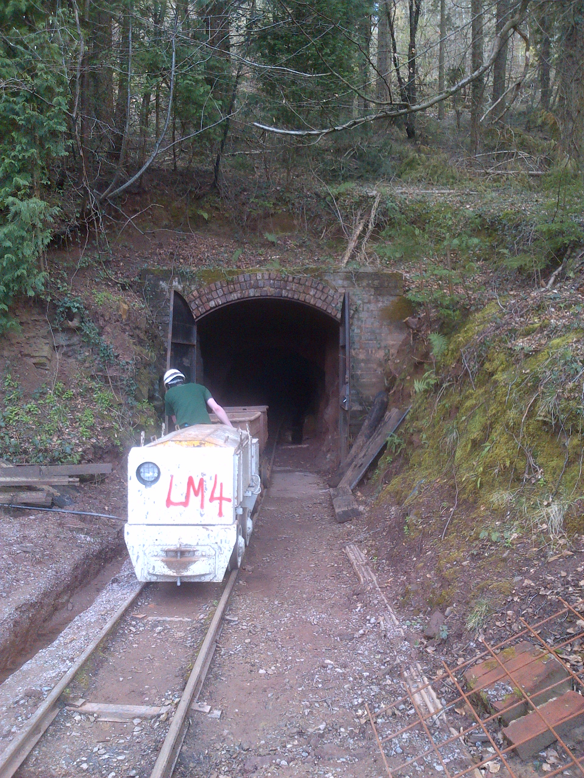
Lea Bailey Light Railway
The Lea Bailey Light Railway is a 2 ft (610 mm) narrow-gauge heritage railway in the United Kingdom. It is built on the site of the Bailey Level Gold Mine...
Nearby Amenities
Located within 500m of 51.877461,-2.5098339Have you been to Dean, East?
Leave your review of Dean, East below (or comments, questions and feedback).