Jackman's Coppice
Wood, Forest in Dorset
England
Jackman's Coppice
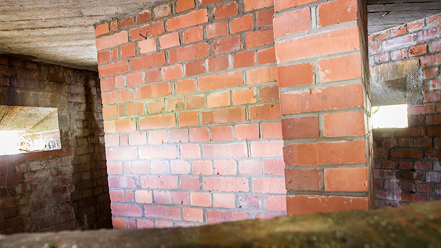
Jackman's Coppice is a picturesque woodland located in the county of Dorset, England. Spanning over an area of approximately 50 acres, this ancient forest is a haven for nature enthusiasts and a popular destination for outdoor activities.
The woodland is primarily composed of a mix of broadleaf trees such as oak, beech, and ash, creating a diverse and vibrant ecosystem. The dense canopy provides shelter for a variety of bird species, including woodpeckers, owls, and thrushes, making it a paradise for birdwatchers. The forest floor is adorned with an array of wildflowers, ferns, and mosses, adding to the enchanting atmosphere of the coppice.
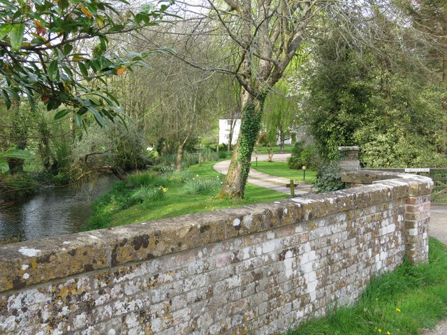
Jackman's Coppice offers several well-maintained trails and footpaths, allowing visitors to explore the woodland and immerse themselves in its natural beauty. These paths wind through the forest, offering glimpses of tranquil ponds, babbling streams, and ancient trees with gnarled branches. The peaceful ambiance and the soothing sounds of nature make it a perfect spot for leisurely walks or cycling.
The coppice also boasts a rich history, with evidence of human activity dating back centuries. It was once used as a source of timber for various purposes, including shipbuilding and charcoal production. Today, remnants of charcoal hearths and old boundary markers can still be found within the woodland, serving as a reminder of its past.
Jackman's Coppice is not only a cherished natural retreat but also an important site for conservation. Local authorities and nature organizations work together to protect the diverse flora and fauna that call this woodland their home, ensuring that future generations can continue to enjoy its beauty and serenity.
If you have any feedback on the listing, please let us know in the comments section below.
Jackman's Coppice Images
Images are sourced within 2km of 50.762262/-2.4988176 or Grid Reference SY6495. Thanks to Geograph Open Source API. All images are credited.


![Original foundation of Jackman's Cross, Stratton This is all that is left of the original cross, described in Alfred Pope&#039;s book, &#039;The Old Stone Crosses of Dorset&#039;:
&quot;On Grimstone Down, which is in the parish of Stratton although part of the ancient manor of Grimstone, to the north of the Crossways leading to Cerne Abbas and Charminster, known as ‘Jackman&#039;s Cross, is the socket of a cross of Portland and Ridgway stone two feet two inches square by twelve deep, with a mortise eleven inches by eight inches, into which formerly fitted a cross of wood. The upper hed [sic] of the socket is bevelled round the edge, and on one side is a cup-shaped cavity which might have been for the reception of alms. There is a tradition that a man named Jackman was hanged on this cross early in the eighteenth century for sheep-stealing, but the writer has searched through the Court Rolls which are in his possession as lord of the manor, and date back to 1640, and is unable to find any confirmation of this tradition. In 1645 the manor belonged to the Prebend of Salisbury, and in earlier times to the Abbots of Milton.&quot;
A new cross has been erected, see <a href="https://www.geograph.org.uk/photo/5154293">SY6495 : Jackman's Cross, Stratton Down</a>.
There is an Ordnance Survey rivet benchmark on this foundation, see <a href="https://www.geograph.org.uk/photo/5154291">SY6495 : Rivet on foundation of Jackman's Cross, Stratton Down</a>.](https://s2.geograph.org.uk/geophotos/05/15/41/5154162_49eeb06b.jpg)

Jackman's Coppice is located at Grid Ref: SY6495 (Lat: 50.762262, Lng: -2.4988176)
Unitary Authority: Dorset
Police Authority: Dorset
What 3 Words
///variation.assemble.snoozing. Near Charminster, Dorset
Related Wikis
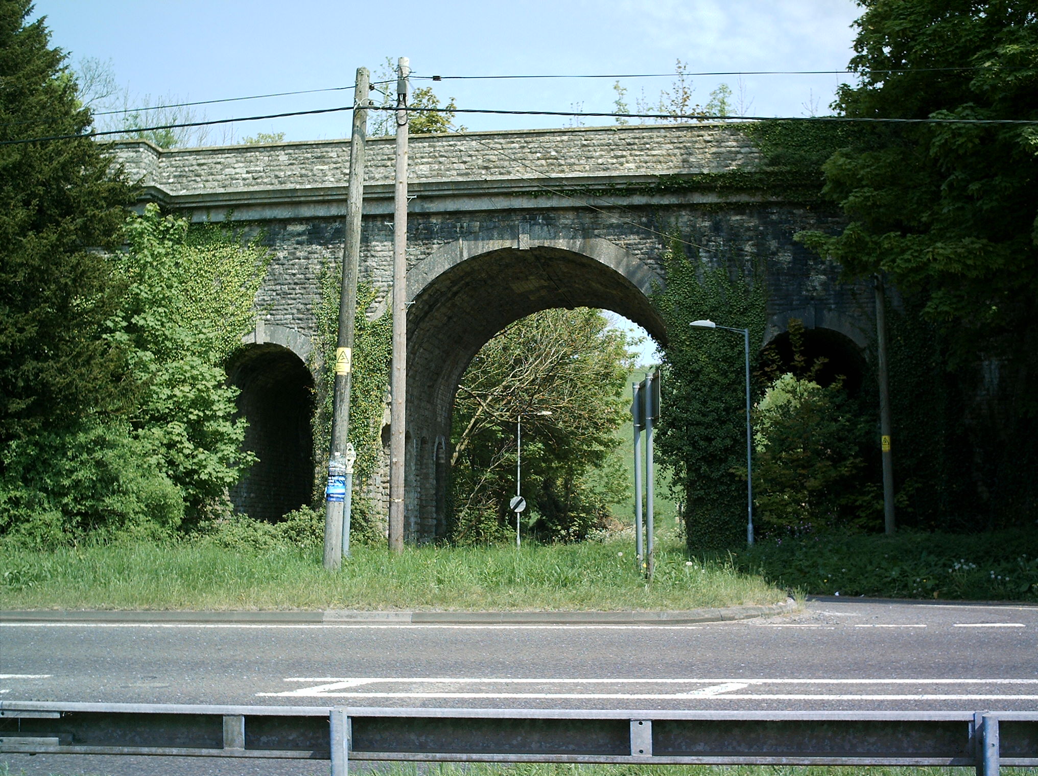
Grimstone Viaduct
The Grimstone Viaduct is a railway bridge on the Castle Cary-Weymouth "Heart of Wessex" line in Dorset, England. It is directly north of the site of Grimstone...

Grimstone and Frampton railway station
Grimstone and Frampton railway station was a station on the Wiltshire, Somerset & Weymouth Railway, part of the Great Western Railway between Maiden Newton...

Godmanstone
Godmanstone (or Godmanston) is a village and civil parish in the county of Dorset in southern England, situated approximately 4 miles (6.4 km) north of...

Stratton, Dorset
Stratton is a village and civil parish in Dorset, England, situated in the Frome valley about 3 miles (4.8 km) north-west of Dorchester. The parish includes...
Nearby Amenities
Located within 500m of 50.762262,-2.4988176Have you been to Jackman's Coppice?
Leave your review of Jackman's Coppice below (or comments, questions and feedback).