Grimstone Down
Downs, Moorland in Dorset
England
Grimstone Down
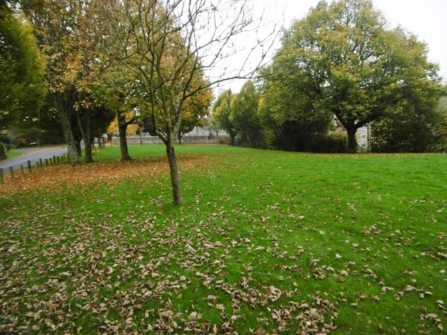
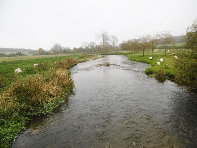
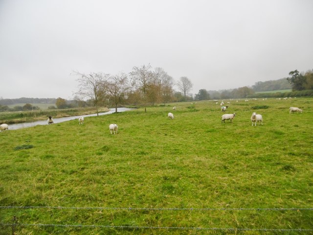
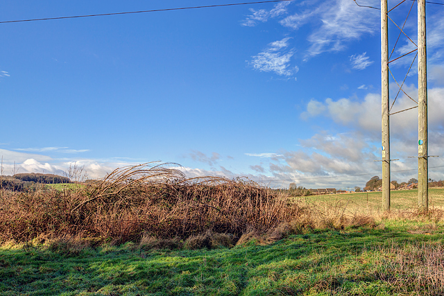
Grimstone Down, located in Dorset, England, is a picturesque area that encompasses both downs and moorland. It is renowned for its natural beauty and rich biodiversity, attracting nature enthusiasts and hikers alike. Spanning approximately 500 acres, it offers a diverse landscape with rolling hills, open grasslands, and heathland, creating a unique ecosystem.
The downs in Grimstone Down are characterized by their chalky soil, which supports a variety of plant species, including wildflowers such as orchids and cowslips. These downs provide a stunning backdrop for leisurely walks and offer breathtaking panoramic views of the surrounding countryside.
The moorland aspect of Grimstone Down is characterized by its peat soil and heather-covered expanses. This habitat provides a haven for a wide range of wildlife, including rare bird species such as the Dartford warbler and the stonechat. The moorland is also home to reptiles like the common lizard and adder, as well as various insects and small mammals.
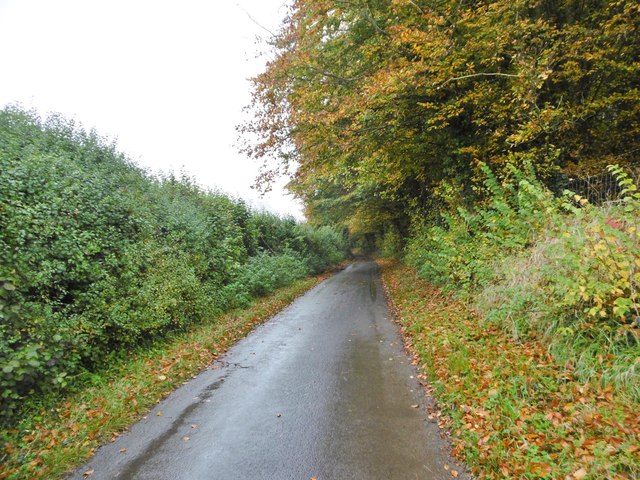
Visitors to Grimstone Down can enjoy a network of well-maintained footpaths and bridleways, allowing them to explore the area at their own pace. The diverse landscape offers opportunities for activities such as hiking, birdwatching, and photography. Additionally, the area is known for its tranquility, providing a peaceful escape from the hustle and bustle of daily life.
Grimstone Down is a wonderful destination for anyone seeking to connect with nature and immerse themselves in the natural beauty of Dorset. Its combination of downs and moorland creates a unique environment that is sure to captivate visitors and leave them with lasting memories.
If you have any feedback on the listing, please let us know in the comments section below.
Grimstone Down Images
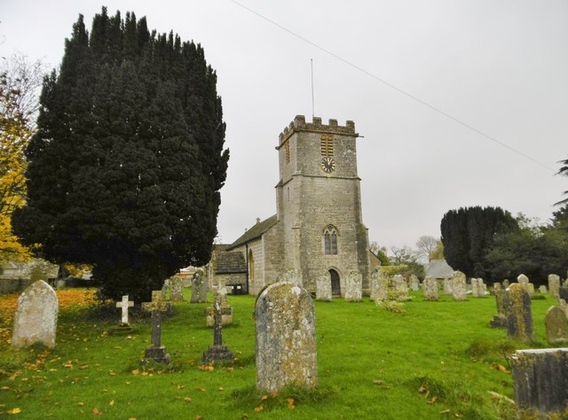
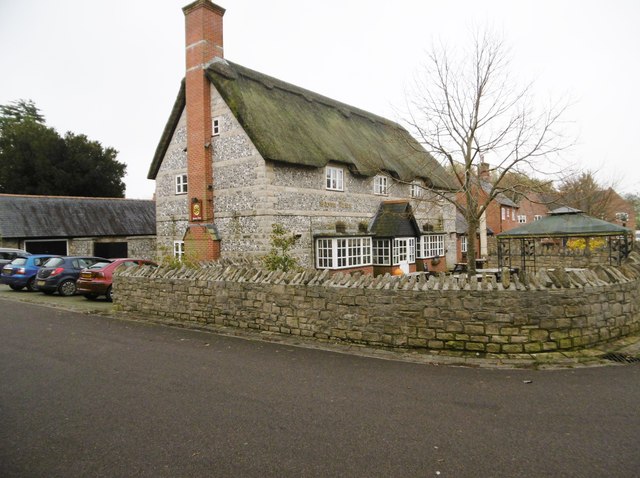
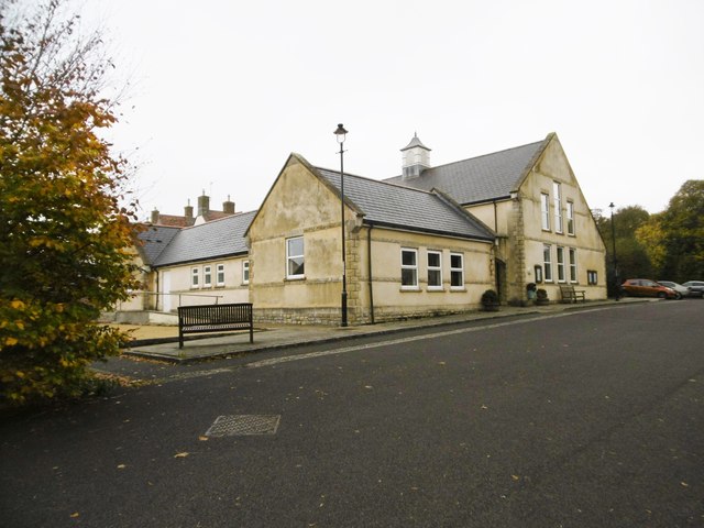
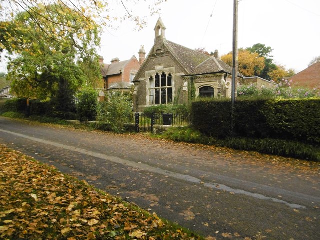
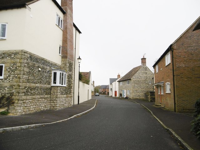
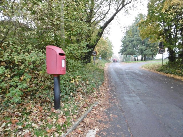
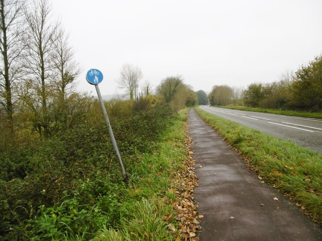
Images are sourced within 2km of 50.758264/-2.5084014 or Grid Reference SY6495. Thanks to Geograph Open Source API. All images are credited.
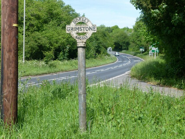

Grimstone Down is located at Grid Ref: SY6495 (Lat: 50.758264, Lng: -2.5084014)
Unitary Authority: Dorset
Police Authority: Dorset
What 3 Words
///circling.snippets.behind. Near Charminster, Dorset
Related Wikis
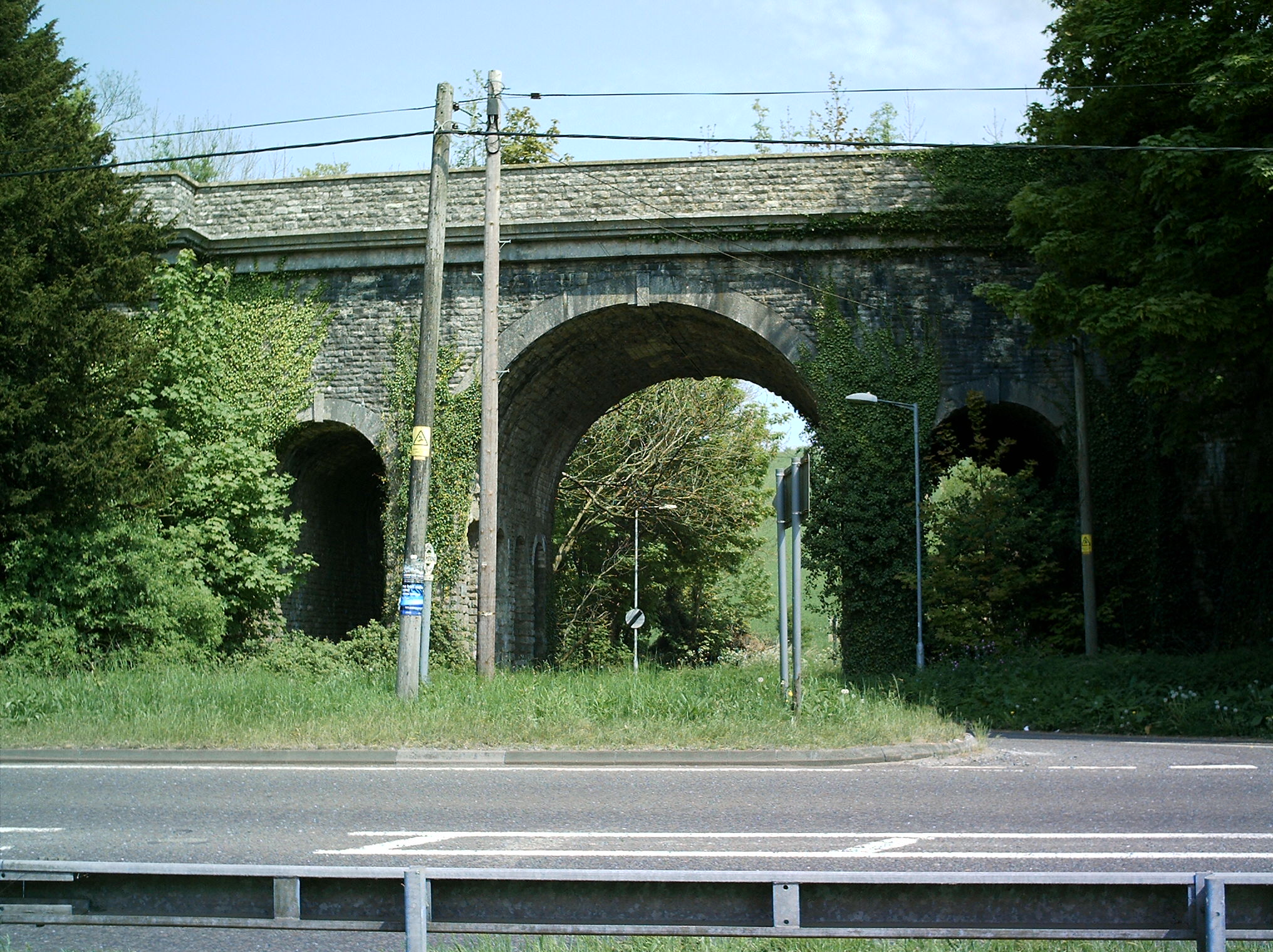
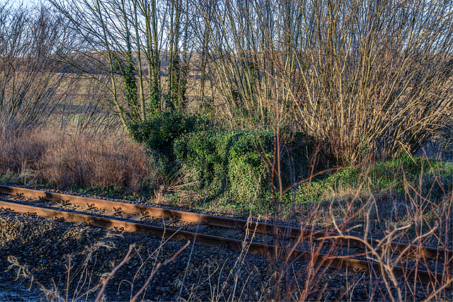
Grimstone Viaduct
The Grimstone Viaduct is a railway bridge on the Castle Cary-Weymouth "Heart of Wessex" line in Dorset, England. It is directly north of the site of Grimstone...

Grimstone and Frampton railway station
Grimstone and Frampton railway station was a station on the Wiltshire, Somerset & Weymouth Railway, part of the Great Western Railway between Maiden Newton...

Frampton Priory
Frampton Priory was a Benedictine priory in England, near the village of Frampton in Dorset and mentioned in the Domesday Book. The priory was subordinate...
Frampton (liberty)
Frampton Liberty was a liberty in the county of Dorset, England, which contained the following parishes: Bettiscombe Bincombe Burton Bradstock Compton...
Nearby Amenities
Located within 500m of 50.758264,-2.5084014Have you been to Grimstone Down?
Leave your review of Grimstone Down below (or comments, questions and feedback).