Stratton Plantation
Wood, Forest in Dorset
England
Stratton Plantation
Stratton Plantation, located in Dorset, England, is a magnificent estate nestled within a serene woodland forest. Spread across several acres of lush greenery, it offers a peaceful retreat for nature enthusiasts and history buffs alike.
The plantation boasts a rich history that dates back to the 18th century when it was first established by the influential Stratton family. The main house, a grand Georgian-style mansion, serves as the centerpiece of the estate. Its impressive architecture, characterized by symmetrical lines and ornate details, is a testament to the wealth and stature of its former owners.
Surrounding the main house are beautifully manicured gardens, featuring an array of vibrant flowers, towering trees, and well-maintained lawns. These gardens provide a picturesque backdrop for leisurely strolls and outdoor picnics, inviting visitors to immerse themselves in the tranquility of the surroundings.
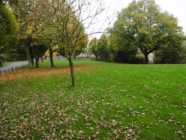
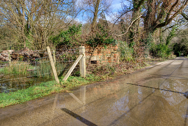
The woodland forest that envelopes the estate is a haven for wildlife and a paradise for hikers and nature lovers. Dotted with winding trails, it offers ample opportunities for exploration and discovery. From ancient oak trees to rare plant species, the forest is teeming with biodiversity, making it a popular destination for environmental enthusiasts and photographers.
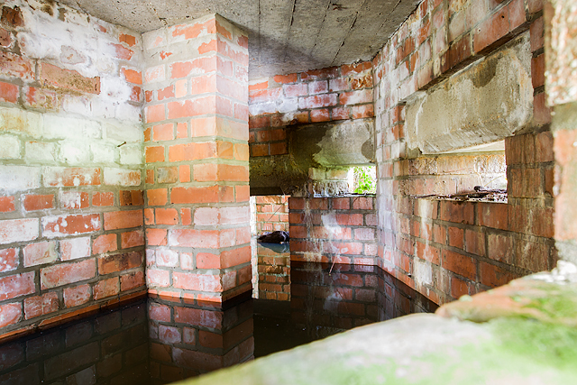
Stratton Plantation also houses a well-preserved stable block, which once accommodated the family's horses and carriages. Today, it serves as an exhibition space, showcasing the artifacts and memorabilia that shed light on the estate's past.
Visitors to Stratton Plantation can partake in guided tours, allowing them to delve deeper into the history of the estate and gain insights into the lives of its former inhabitants. Moreover, the plantation hosts various cultural events and outdoor activities throughout the year, ensuring there is always something exciting happening for visitors to enjoy.
If you have any feedback on the listing, please let us know in the comments section below.
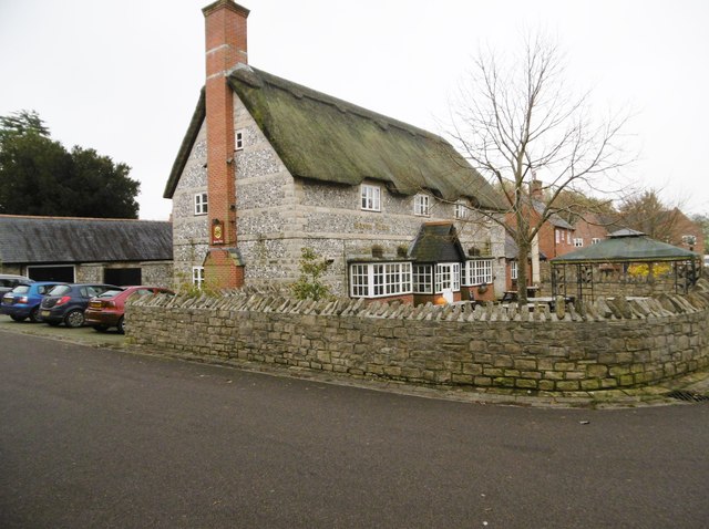
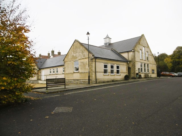
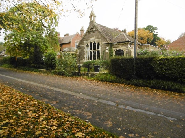
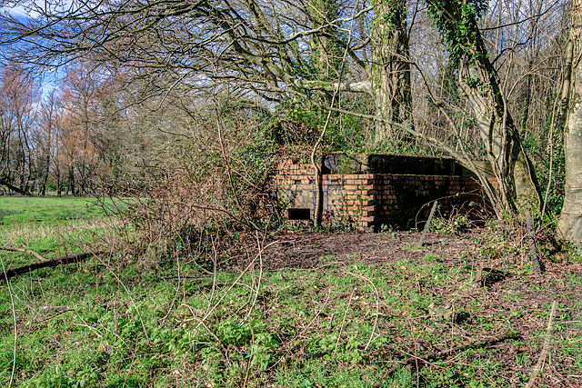
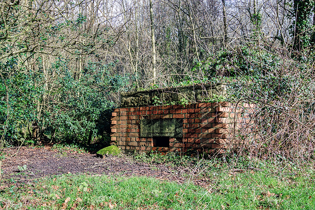
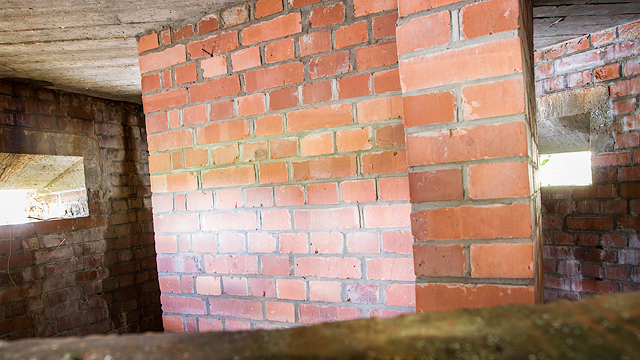
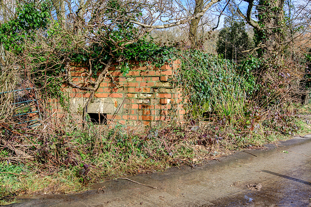
Stratton Plantation Images
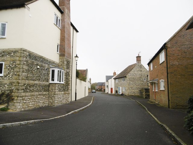
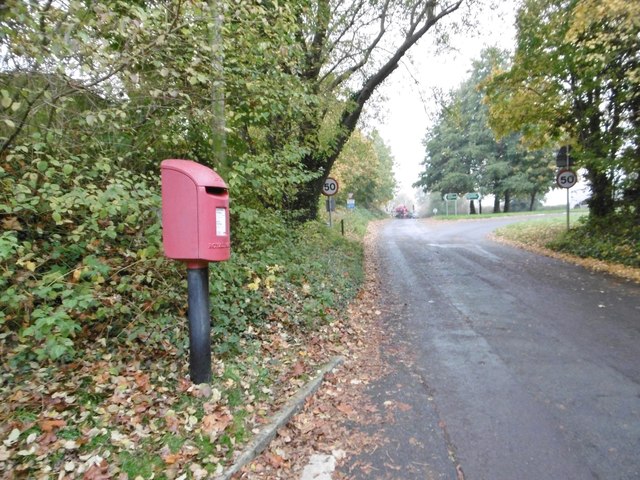
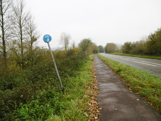
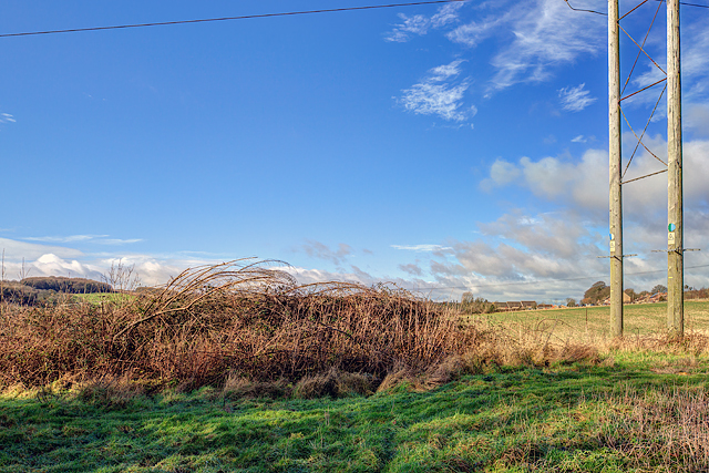
Images are sourced within 2km of 50.759957/-2.4993743 or Grid Reference SY6495. Thanks to Geograph Open Source API. All images are credited.
Stratton Plantation is located at Grid Ref: SY6495 (Lat: 50.759957, Lng: -2.4993743)
Unitary Authority: Dorset
Police Authority: Dorset
What 3 Words
///volume.crank.overture. Near Charminster, Dorset
Related Wikis
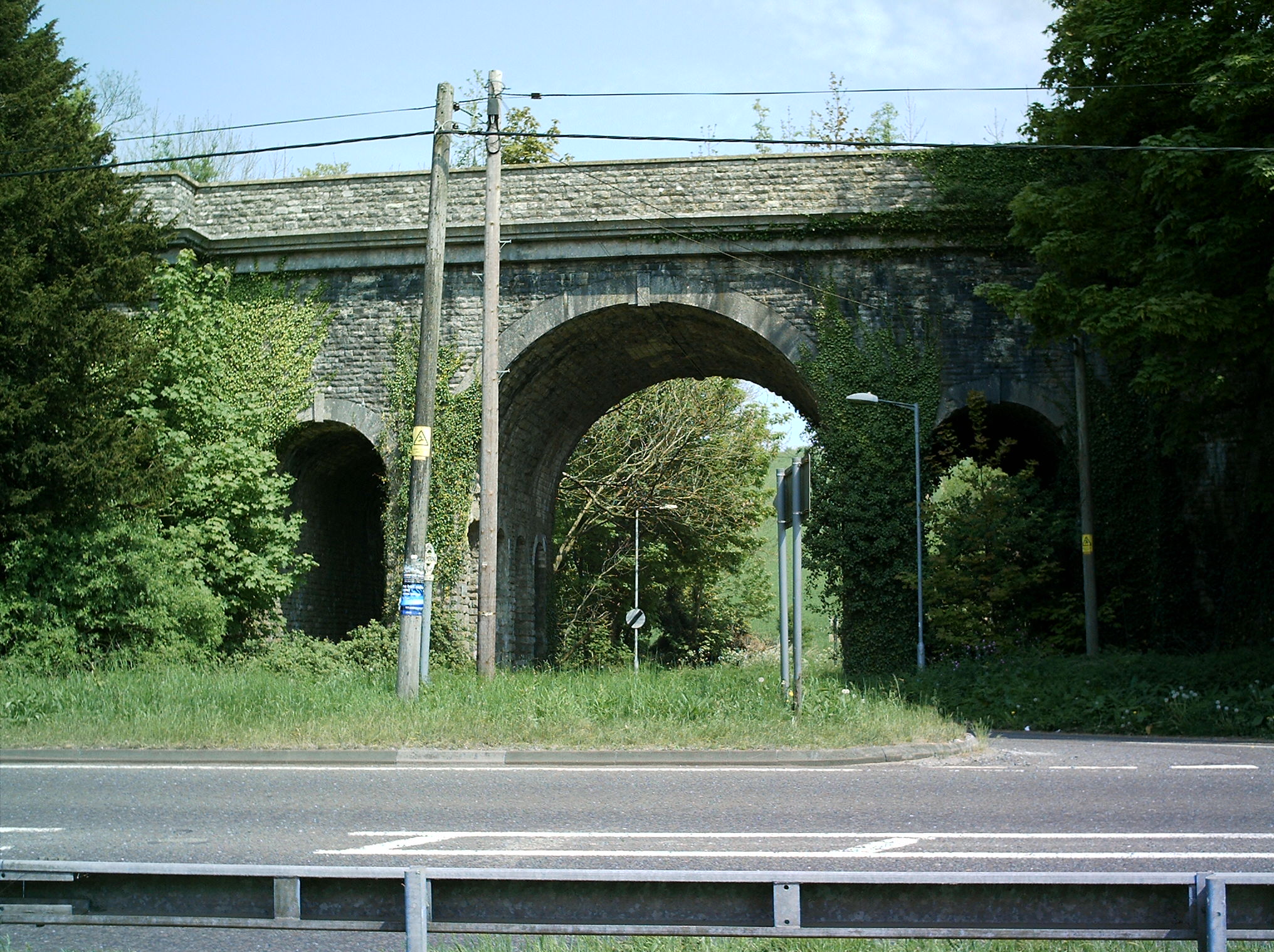
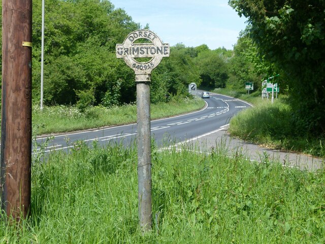
Grimstone Viaduct
The Grimstone Viaduct is a railway bridge on the Castle Cary-Weymouth "Heart of Wessex" line in Dorset, England. It is directly north of the site of Grimstone...

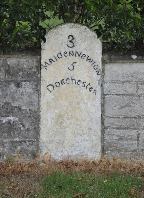
Grimstone and Frampton railway station
Grimstone and Frampton railway station was a station on the Wiltshire, Somerset & Weymouth Railway, part of the Great Western Railway between Maiden Newton...

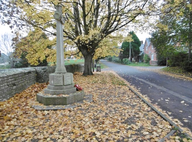
Stratton, Dorset
Stratton is a village and civil parish in Dorset, England, situated in the Frome valley about 3 miles (4.8 km) north-west of Dorchester. The parish includes...

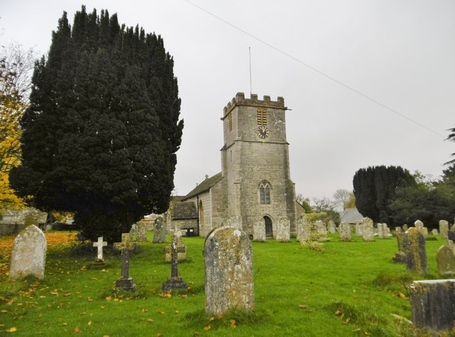
Bradford Peverell & Stratton Halt
Bradford Peverell and Stratton Halt was a station on the Great Western Railway on what had originally been part of the Wiltshire, Somerset & Weymouth Railway...
Nearby Amenities
Located within 500m of 50.759957,-2.4993743Have you been to Stratton Plantation?
Leave your review of Stratton Plantation below (or comments, questions and feedback).