Lawyer's Plantation
Wood, Forest in Dorset
England
Lawyer's Plantation
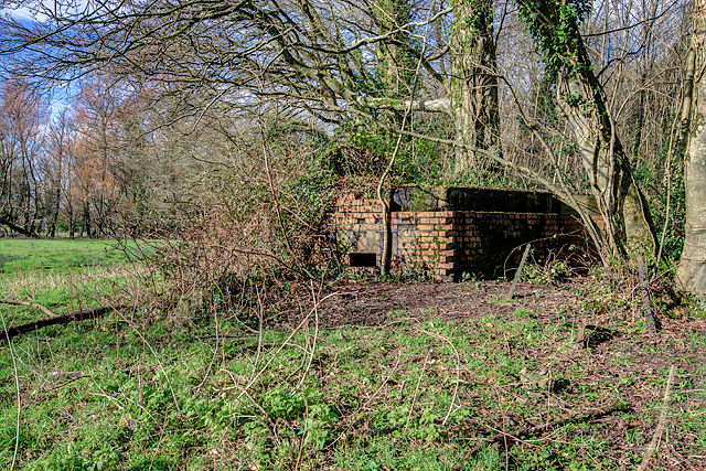
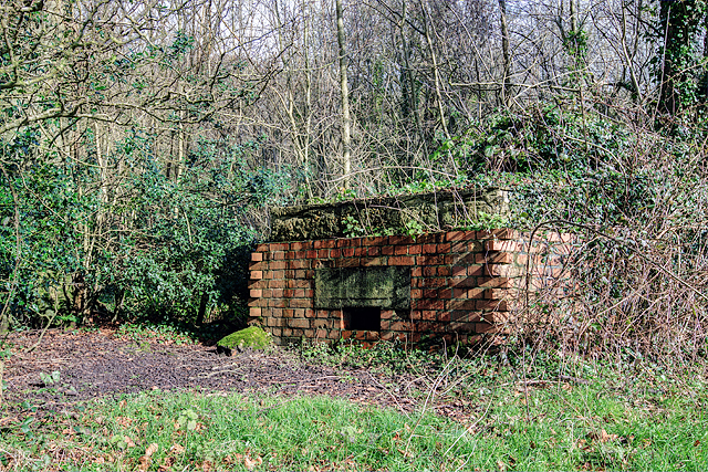
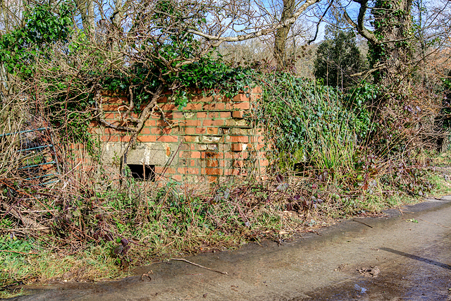
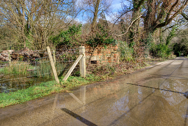
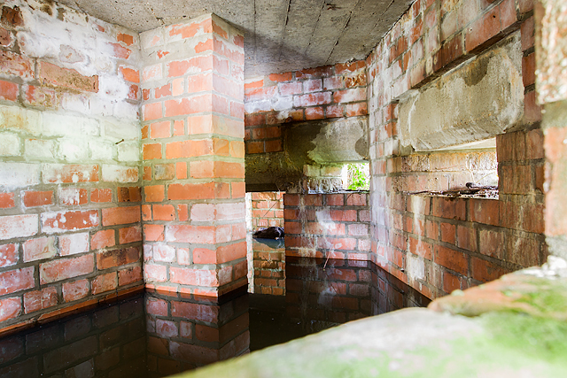
Lawyer's Plantation is a picturesque woodland located in the county of Dorset, England. Covering an expansive area, it is nestled near the town of Dorchester and is a popular destination for nature enthusiasts and hikers alike. The plantation is named after the Lawyer family, who were prominent landowners in the area during the 18th century.
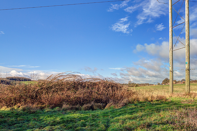
The plantation is characterized by its diverse range of trees, including oak, beech, and pine. These towering trees create a dense canopy, providing a peaceful and shaded environment for visitors to explore. The forest floor is adorned with an array of wildflowers and ferns, adding to the natural beauty of the area.
Several well-maintained trails wind through the plantation, allowing visitors to navigate the woodland and discover its hidden gems. Along these paths, one may encounter various species of wildlife, including deer, foxes, and an assortment of birdlife.
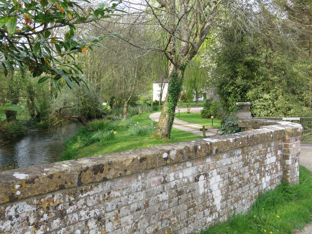
Lawyer's Plantation also boasts a small stream that meanders through the woodland, adding to its serene atmosphere. Visitors can take a break from their walks and enjoy a picnic by the stream, immersing themselves in the tranquility of nature.
The plantation is open to the public year-round, and entry is free of charge. Due to its popularity, it can get busy during weekends and holidays, so it is advisable to arrive early to secure parking. Lawyer's Plantation offers a perfect opportunity to escape the hustle and bustle of everyday life and immerse oneself in the beauty of nature in the heart of Dorset.
If you have any feedback on the listing, please let us know in the comments section below.
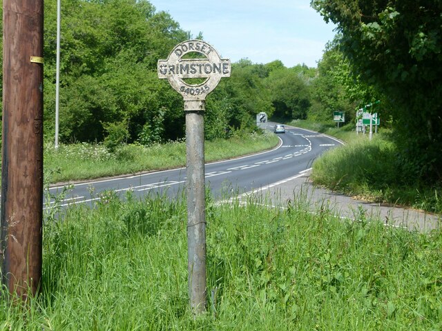
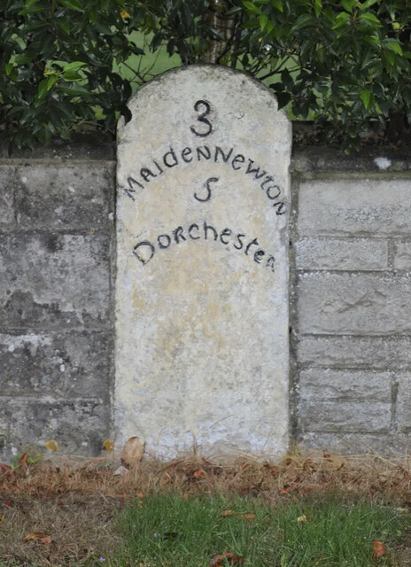
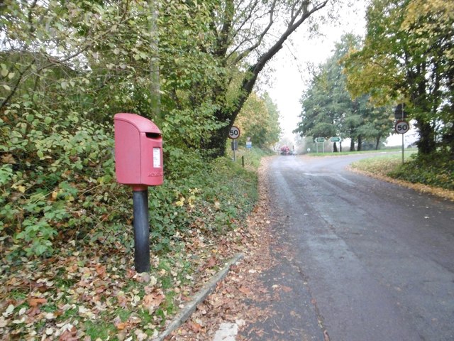
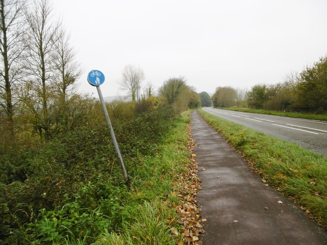
Lawyer's Plantation Images
Images are sourced within 2km of 50.761192/-2.4988345 or Grid Reference SY6495. Thanks to Geograph Open Source API. All images are credited.


Lawyer's Plantation is located at Grid Ref: SY6495 (Lat: 50.761192, Lng: -2.4988345)
Unitary Authority: Dorset
Police Authority: Dorset
What 3 Words
///plug.truckload.cheese. Near Charminster, Dorset
Related Wikis
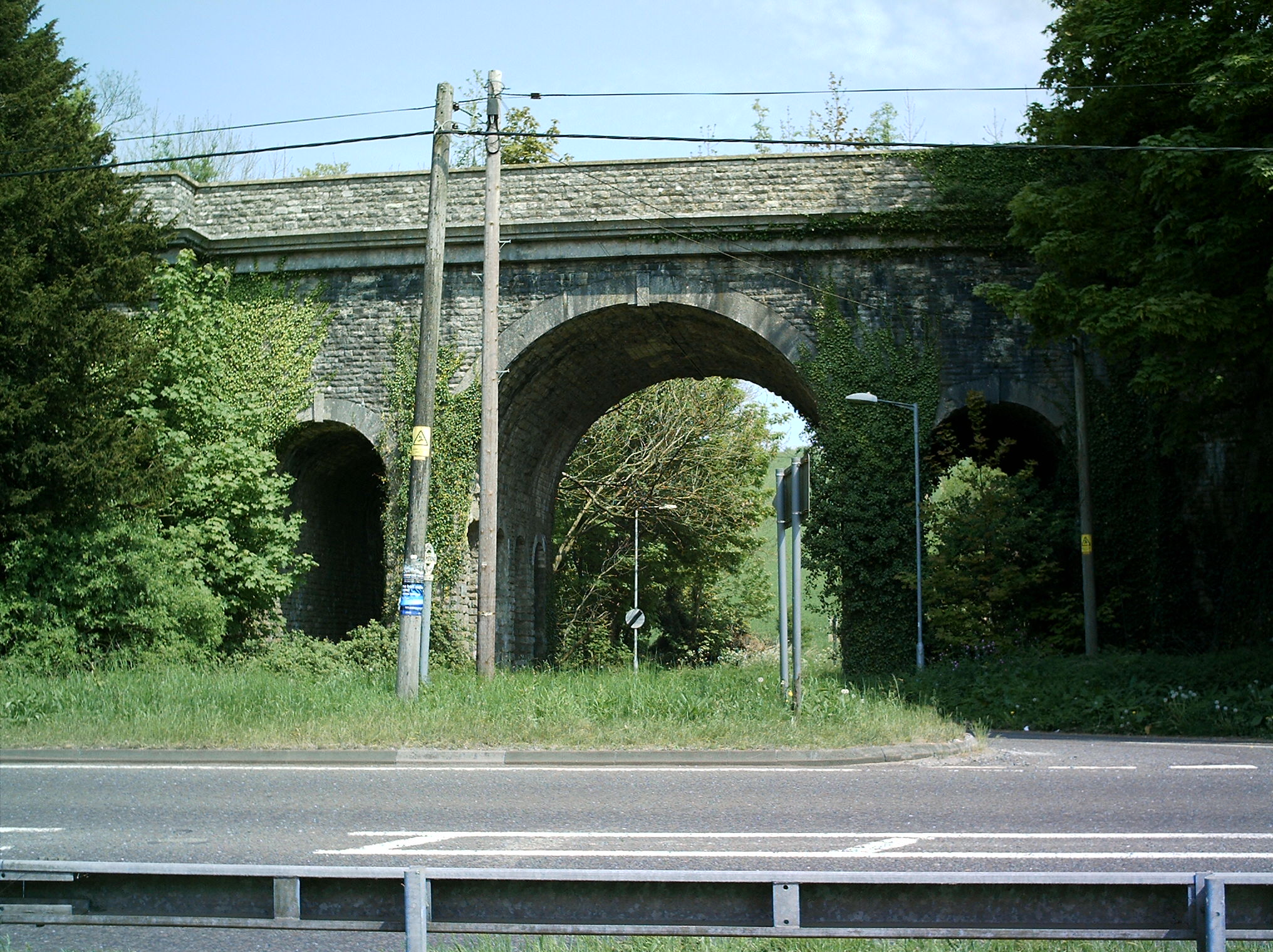
Grimstone Viaduct
The Grimstone Viaduct is a railway bridge on the Castle Cary-Weymouth "Heart of Wessex" line in Dorset, England. It is directly north of the site of Grimstone...

Grimstone and Frampton railway station
Grimstone and Frampton railway station was a station on the Wiltshire, Somerset & Weymouth Railway, part of the Great Western Railway between Maiden Newton...

Stratton, Dorset
Stratton is a village and civil parish in Dorset, England, situated in the Frome valley about 3 miles (4.8 km) north-west of Dorchester. The parish includes...

Godmanstone
Godmanstone (or Godmanston) is a village and civil parish in the county of Dorset in southern England, situated approximately 4 miles (6.4 km) north of...

Bradford Peverell & Stratton Halt
Bradford Peverell and Stratton Halt was a station on the Great Western Railway on what had originally been part of the Wiltshire, Somerset & Weymouth Railway...

Frampton Priory
Frampton Priory was a Benedictine priory in England, near the village of Frampton in Dorset and mentioned in the Domesday Book. The priory was subordinate...
Frampton (liberty)
Frampton Liberty was a liberty in the county of Dorset, England, which contained the following parishes: Bettiscombe Bincombe Burton Bradstock Compton...

Frampton, Dorset
Frampton is a village and civil parish in the county of Dorset in southern England, situated approximately 5 miles (8.0 km) northwest of the county town...
Nearby Amenities
Located within 500m of 50.761192,-2.4988345Have you been to Lawyer's Plantation?
Leave your review of Lawyer's Plantation below (or comments, questions and feedback).