Grimstone Down Plantation
Wood, Forest in Dorset
England
Grimstone Down Plantation
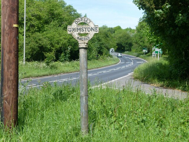
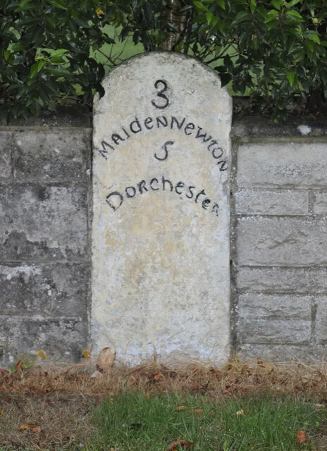
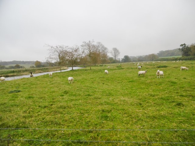
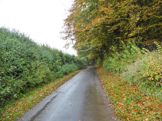
Grimstone Down Plantation is a picturesque woodland located in the county of Dorset, England. Nestled amidst the rolling hills and verdant countryside, this plantation covers an area of approximately 100 acres. It is situated on the outskirts of the small village of Grimstone, just a few miles away from the bustling town of Dorchester.
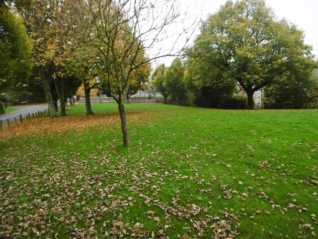
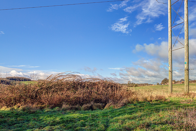
The plantation is predominantly made up of deciduous trees, including oak, beech, and ash, which create a dense canopy overhead. These tall, majestic trees provide a haven for a diverse range of wildlife, making it a popular spot for nature enthusiasts and birdwatchers. The woodland floor is adorned with an assortment of wildflowers, adding a splash of color to the serene surroundings.
Visitors to Grimstone Down Plantation can explore its numerous walking trails, which meander through the tranquil woods and offer breathtaking views of the surrounding landscape. There are designated picnic areas and benches dotted throughout the plantation, providing a perfect spot to relax and soak in the natural beauty.
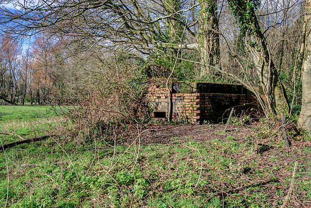
The plantation is managed by the local forestry commission, which ensures the preservation and conservation of the woodland. Regular maintenance and tree planting programs are carried out to sustain the ecosystem and promote biodiversity.
Grimstone Down Plantation offers a peaceful retreat from the hustle and bustle of everyday life, allowing visitors to connect with nature and appreciate the beauty of the British countryside.
If you have any feedback on the listing, please let us know in the comments section below.
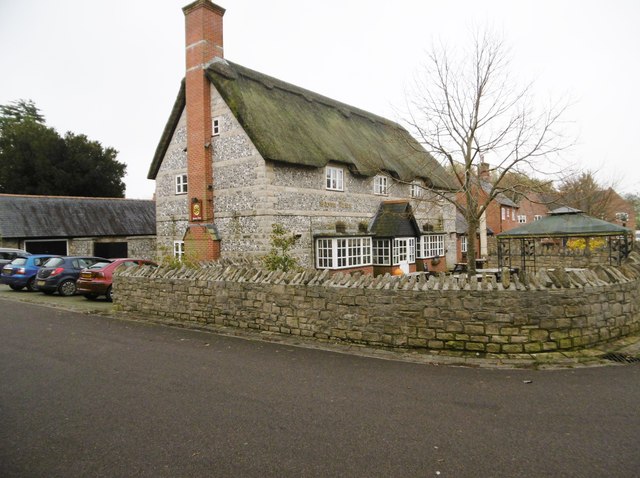
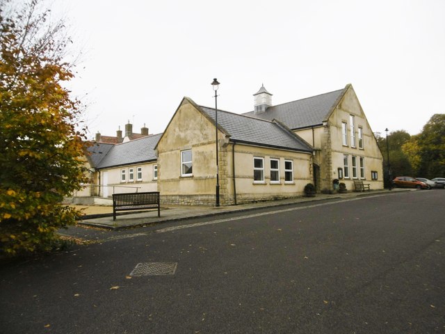
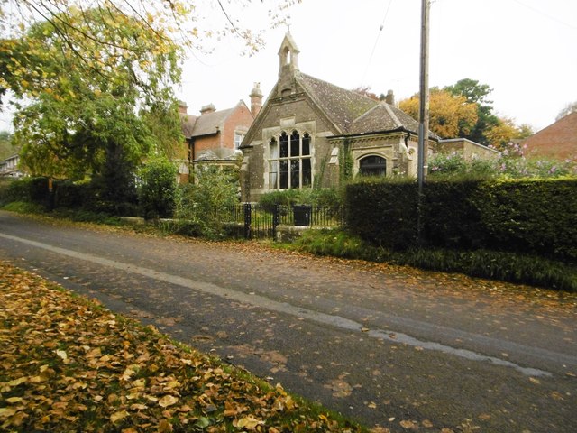
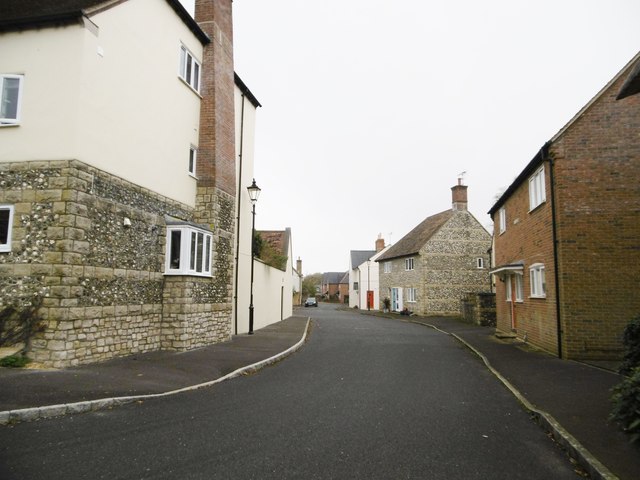
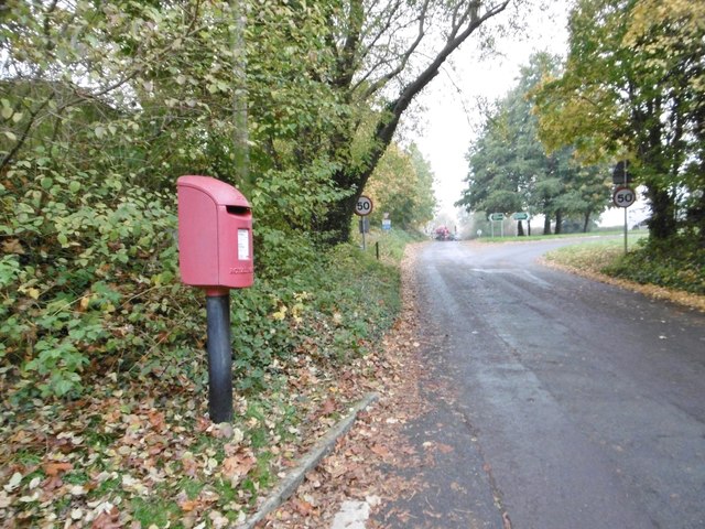
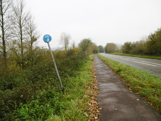
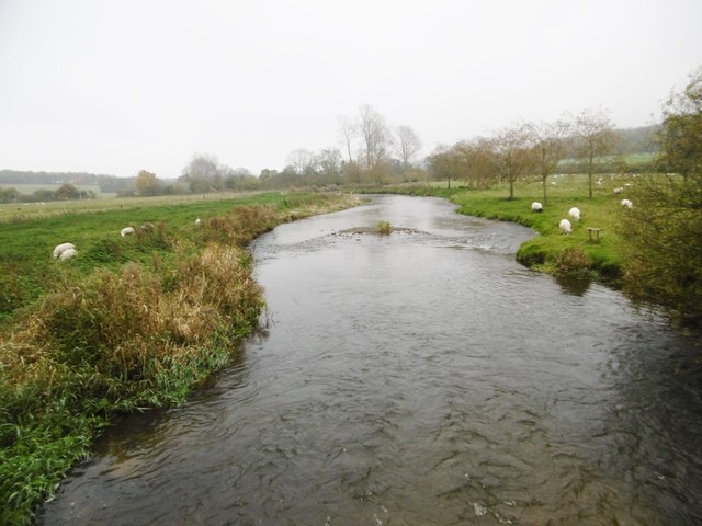
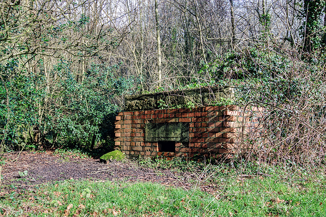
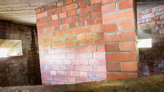
Grimstone Down Plantation Images
Images are sourced within 2km of 50.757632/-2.5006539 or Grid Reference SY6495. Thanks to Geograph Open Source API. All images are credited.
Grimstone Down Plantation is located at Grid Ref: SY6495 (Lat: 50.757632, Lng: -2.5006539)
Unitary Authority: Dorset
Police Authority: Dorset
What 3 Words
///grit.elders.purchaser. Near Charminster, Dorset
Related Wikis
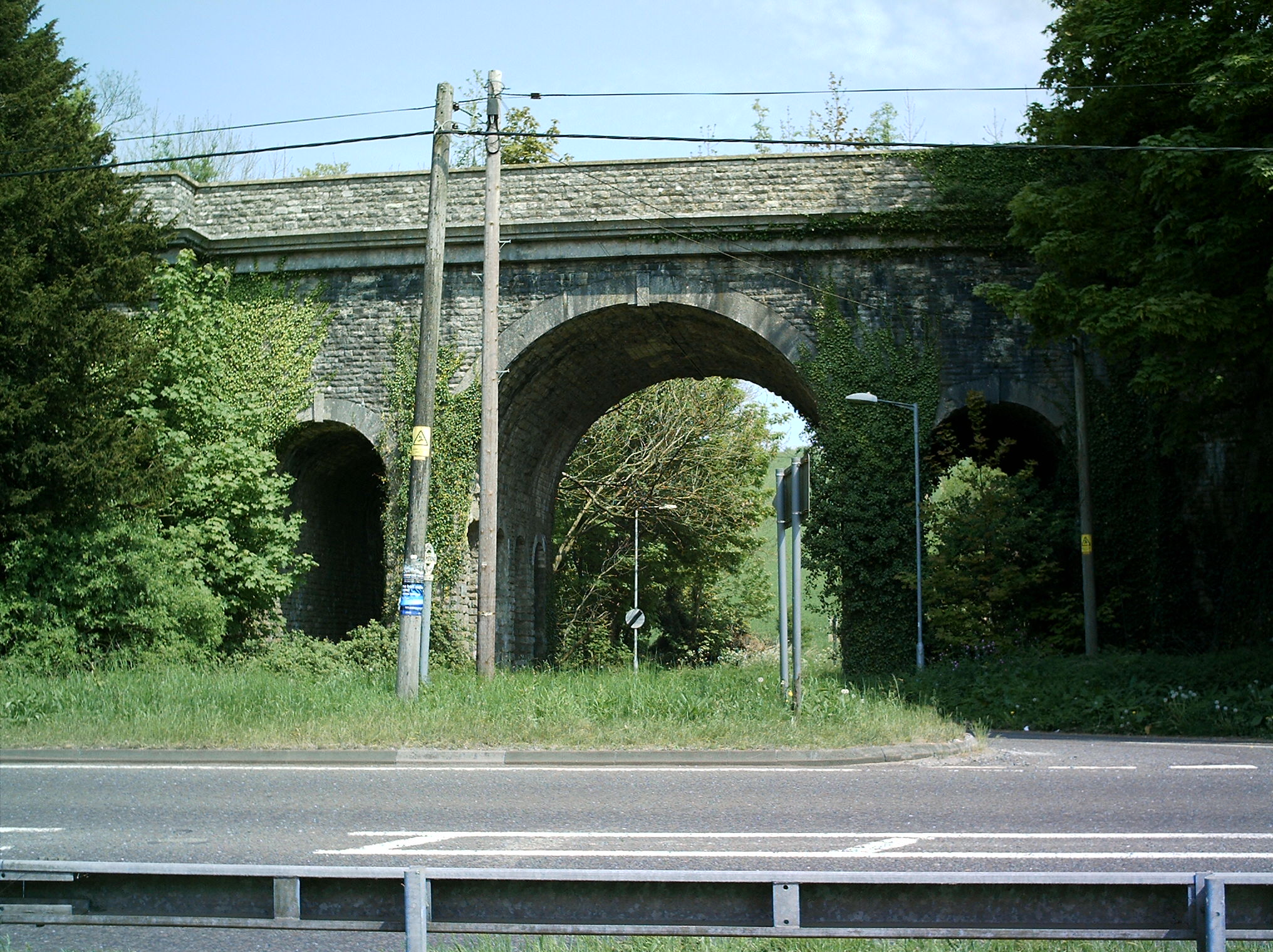
Grimstone Viaduct
The Grimstone Viaduct is a railway bridge on the Castle Cary-Weymouth "Heart of Wessex" line in Dorset, England. It is directly north of the site of Grimstone...

Grimstone and Frampton railway station
Grimstone and Frampton railway station was a station on the Wiltshire, Somerset & Weymouth Railway, part of the Great Western Railway between Maiden Newton...

Stratton, Dorset
Stratton is a village and civil parish in Dorset, England, situated in the Frome valley about 3 miles (4.8 km) north-west of Dorchester. The parish includes...

Bradford Peverell & Stratton Halt
Bradford Peverell and Stratton Halt was a station on the Great Western Railway on what had originally been part of the Wiltshire, Somerset & Weymouth Railway...

Frampton Priory
Frampton Priory was a Benedictine priory in England, near the village of Frampton in Dorset and mentioned in the Domesday Book. The priory was subordinate...
Frampton (liberty)
Frampton Liberty was a liberty in the county of Dorset, England, which contained the following parishes: Bettiscombe Bincombe Burton Bradstock Compton...

Frampton, Dorset
Frampton is a village and civil parish in the county of Dorset in southern England, situated approximately 5 miles (8.0 km) northwest of the county town...

Godmanstone
Godmanstone (or Godmanston) is a village and civil parish in the county of Dorset in southern England, situated approximately 4 miles (6.4 km) north of...
Have you been to Grimstone Down Plantation?
Leave your review of Grimstone Down Plantation below (or comments, questions and feedback).