Pearson Wood
Wood, Forest in Yorkshire Craven
England
Pearson Wood
Pearson Wood is a beautiful forest located in the county of Yorkshire, England. Covering an area of approximately 100 acres, this woodland is a popular destination for nature lovers and outdoor enthusiasts.
The forest is characterized by its dense and lush vegetation, consisting mainly of mature oak, beech, and birch trees. These towering trees create a serene and peaceful atmosphere, making it an ideal spot for relaxation and leisurely walks. The forest floor is carpeted with a variety of wildflowers, ferns, and moss, adding to the enchanting beauty of the wood.
Pearson Wood is abundant in wildlife, making it a haven for animal lovers and birdwatchers. Visitors may spot a wide range of species, including deer, foxes, squirrels, and numerous bird species. The forest provides a natural habitat for these animals, undisturbed by human intervention.
There are several well-marked trails and paths throughout the wood, allowing visitors to explore the forest at their own pace. These paths lead to various viewpoints, picnic areas, and small streams, providing ample opportunities for visitors to connect with nature. Additionally, there is a small visitor center at the entrance of the forest, providing information about the woodland's history, flora, and fauna.
Pearson Wood is a true gem of Yorkshire, offering visitors a chance to escape from the hustle and bustle of everyday life and immerse themselves in the tranquility of nature. Whether you are seeking a peaceful stroll, a picnic with family and friends, or a chance to observe wildlife in their natural habitat, this forest is sure to captivate and inspire all who visit.
If you have any feedback on the listing, please let us know in the comments section below.
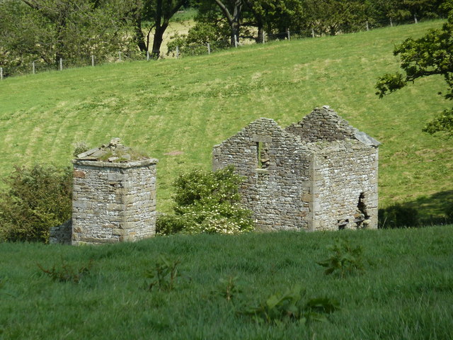
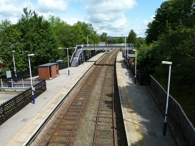
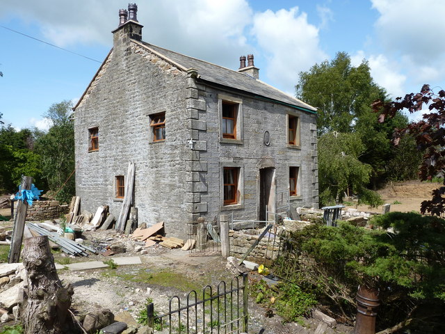
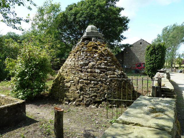
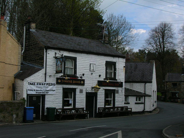
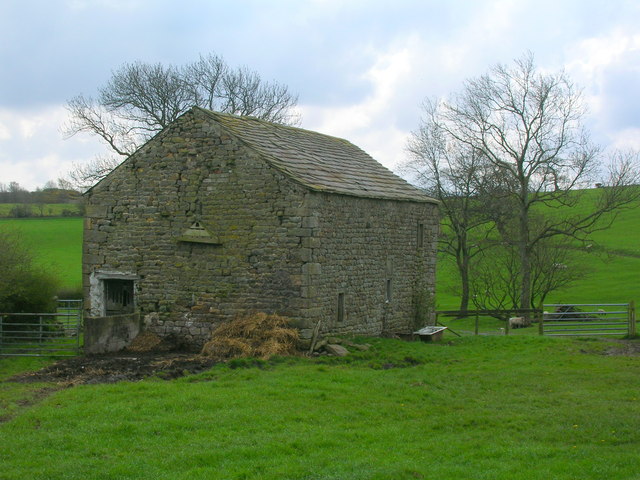
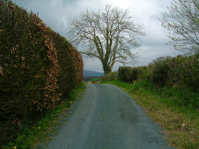
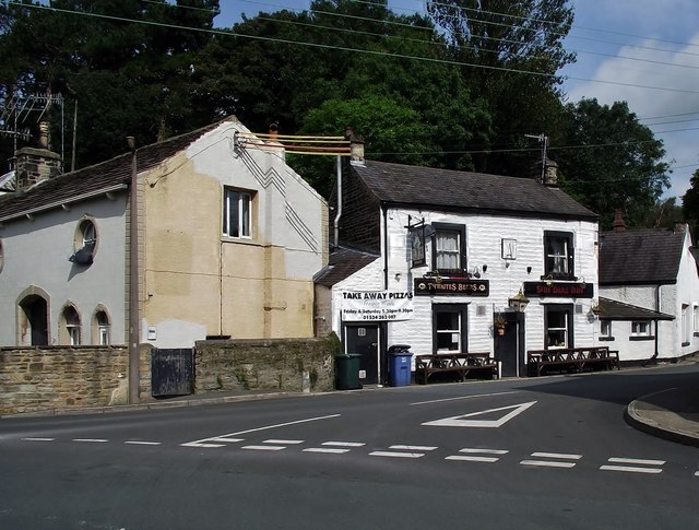
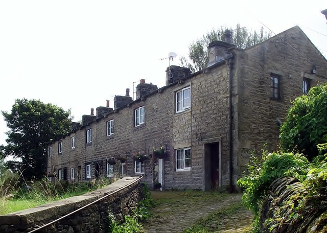
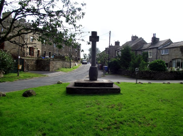
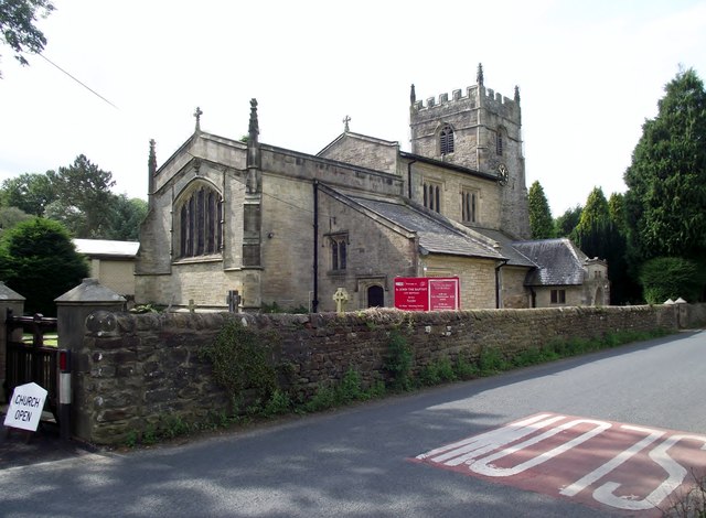
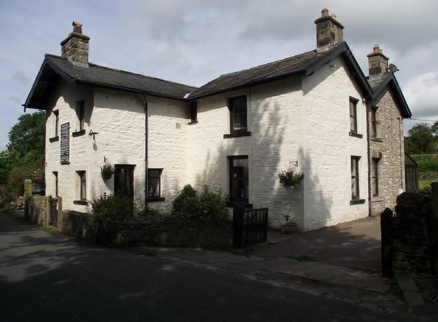
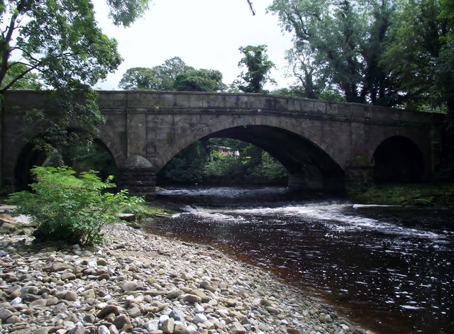
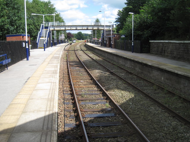
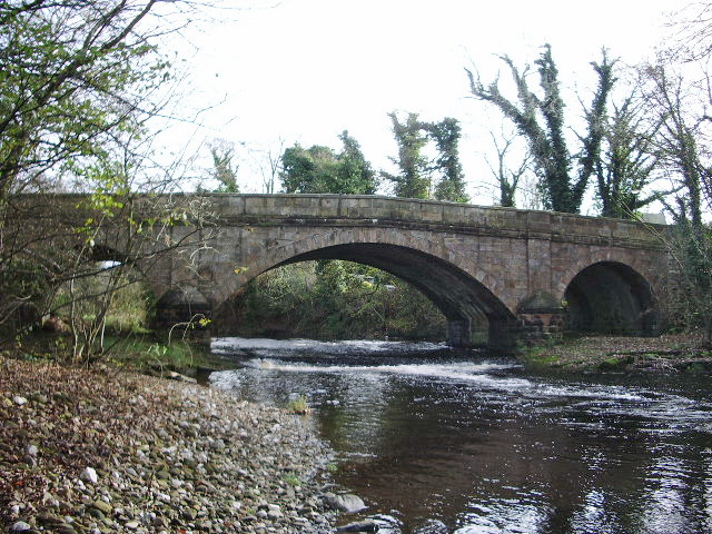
Pearson Wood Images
Images are sourced within 2km of 54.131052/-2.5598385 or Grid Reference SD6370. Thanks to Geograph Open Source API. All images are credited.
Pearson Wood is located at Grid Ref: SD6370 (Lat: 54.131052, Lng: -2.5598385)
Division: West Riding
Administrative County: North Yorkshire
District: Craven
Police Authority: North Yorkshire
What 3 Words
///cushy.critic.fights. Near High Bentham, North Yorkshire
Related Wikis

The Ridding
The Ridding is a Victorian country house located in the village of Bentham, North Yorkshire, England. It is recorded in the National Heritage List for...

Bentham Grammar School
Bentham Grammar School was an independent school in Bentham, North Yorkshire, England. The school was founded in 1726 but closed in 2002 due to dwindling...
Wennington, Lancashire
Wennington is a civil parish in the City of Lancaster district in Lancashire, England. The 2001 Census recorded the parish's population as 102, and the...

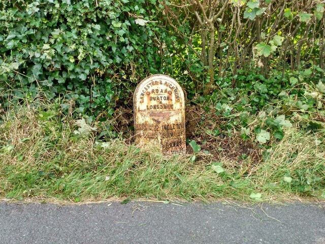
Burton in Lonsdale Castle
Burton in Lonsdale Castle was in the village of Burton in Lonsdale in North Yorkshire, England (grid reference SD649721). The Pipe Rolls for the reign...

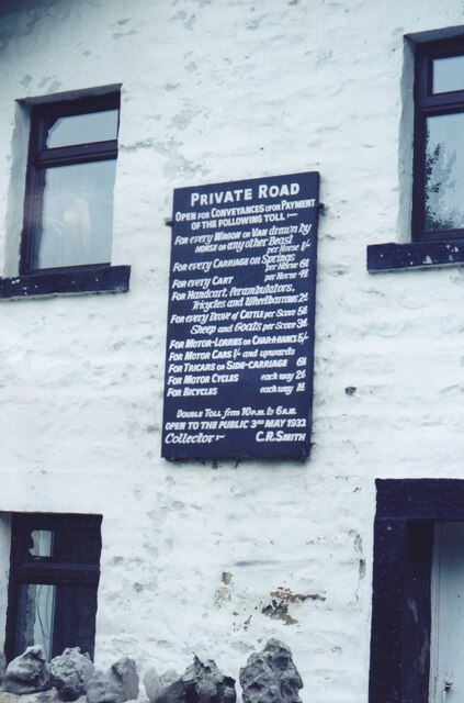
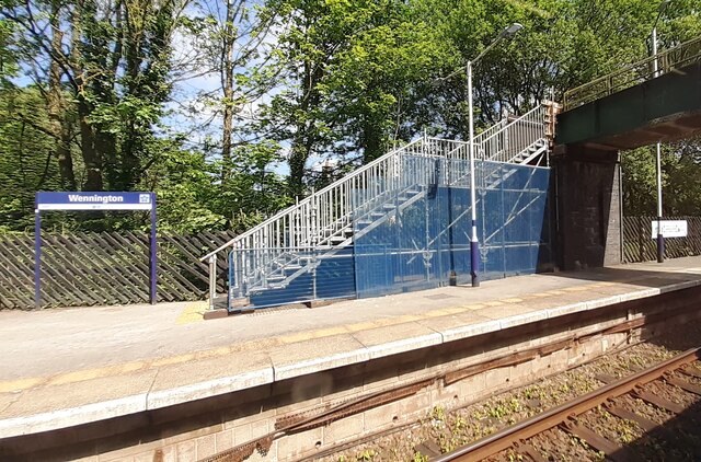
Wennington railway station
Wennington is a railway station on the Bentham Line, which runs between Leeds and Morecambe via Skipton. The station, situated 15+3⁄4 miles (25 km) east...

Wennington Hall
Wennington Hall is a former country house in Wennington, a village in the City of Lancaster district in Lancashire, England. The house is a Grade II listed...

All Saints Church, Burton in Lonsdale
All Saints Church is in the village of Burton in Lonsdale, North Yorkshire, England. It is an active Anglican parish church in the deanery of Ewecross...

Wennington Junction rail crash
Just west of Wennington railway station was Wennington junction where the Furness and Midland Joint Railway left the North Western section of the Midland...
Nearby Amenities
Located within 500m of 54.131052,-2.5598385Have you been to Pearson Wood?
Leave your review of Pearson Wood below (or comments, questions and feedback).