Bull Common
Downs, Moorland in Yorkshire Craven
England
Bull Common
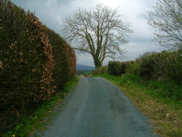
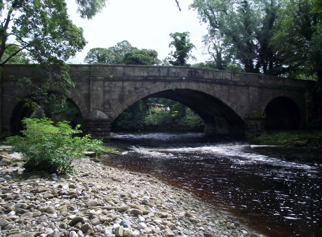
Bull Common is a picturesque area located in the county of Yorkshire, England. Situated amidst the stunning landscape of the Yorkshire Downs and Moorland, it offers a unique blend of natural beauty and tranquil surroundings.
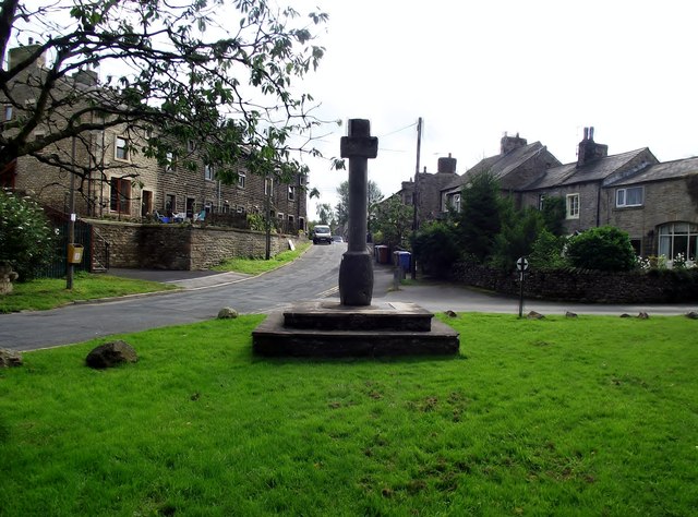
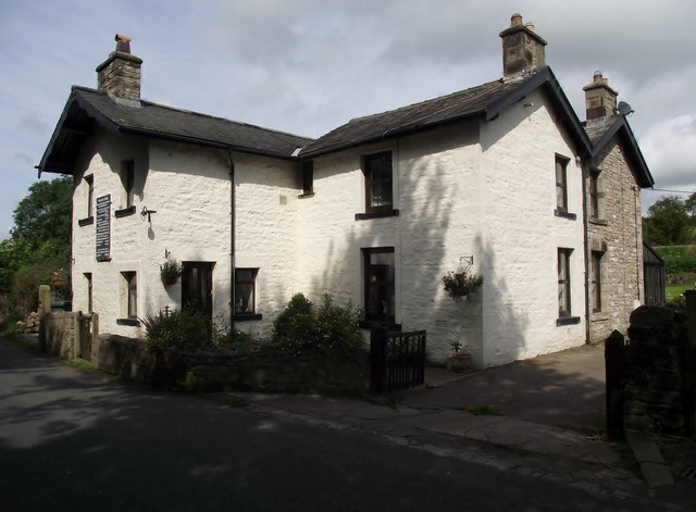
Covering an expansive area, Bull Common is characterized by its rolling hills, lush green meadows, and sweeping vistas. The region is dotted with charming villages and small hamlets, adding to its idyllic charm. The Downs, known for their gentle slopes and grassy expanses, provide a perfect setting for leisurely walks and outdoor activities.
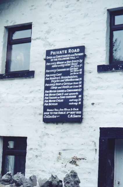
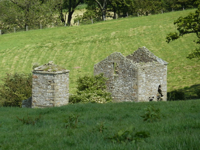
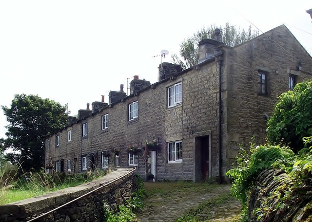
The Moorland in Bull Common offers a more rugged and wild landscape, with vast stretches of heather-covered hills and rocky outcrops. This area is home to a diverse range of flora and fauna, including rare bird species such as the red grouse and the merlin. The moorland is also known for its rich history, with ancient stone ruins and prehistoric settlements scattered throughout the area.
Bull Common is a haven for outdoor enthusiasts, offering a variety of recreational activities. Hiking, cycling, and horseback riding are popular pursuits, with numerous trails and paths crisscrossing the countryside. The region is also renowned for its excellent birdwatching opportunities, attracting enthusiasts from far and wide.
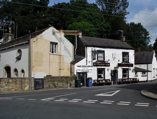
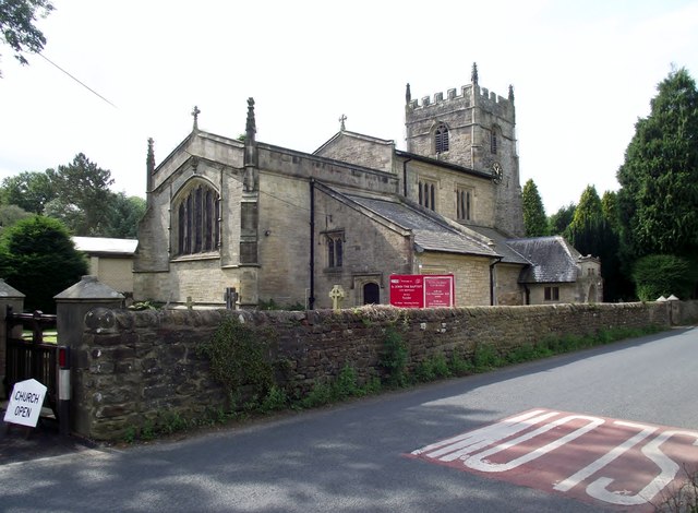
In addition to its natural beauty, Bull Common boasts a strong sense of community and a rich cultural heritage. The local residents are known for their warm hospitality and traditional way of life. Visitors can immerse themselves in the local culture by exploring the charming villages, visiting historic landmarks, and sampling traditional Yorkshire cuisine in the quaint country pubs.
Overall, Bull Common in Yorkshire is a captivating destination that offers a perfect blend of natural splendor, outdoor adventure, and rural charm.
If you have any feedback on the listing, please let us know in the comments section below.
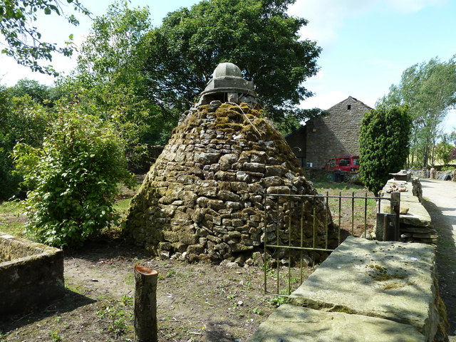
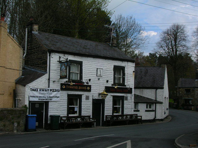
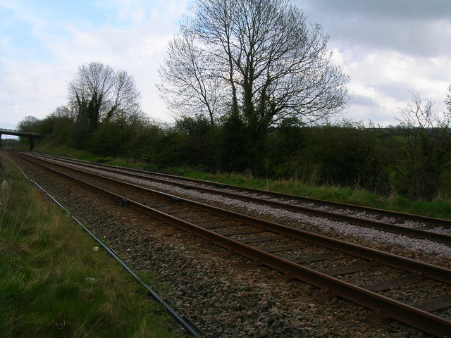
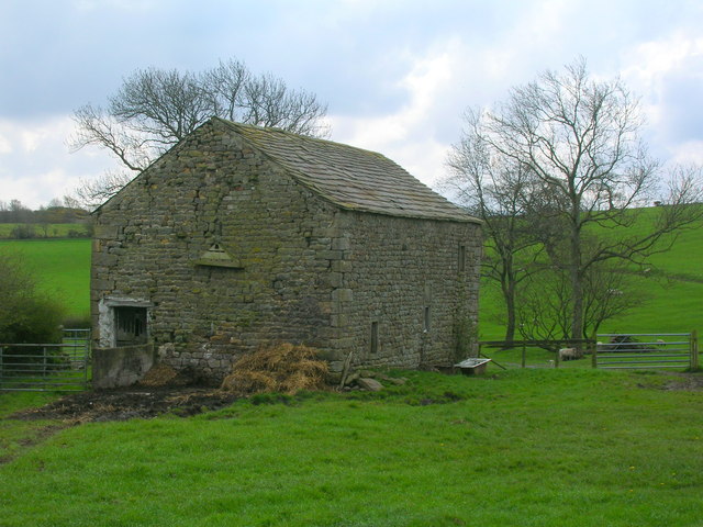
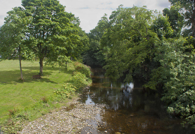
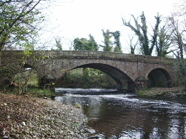
Bull Common Images
Images are sourced within 2km of 54.128373/-2.5600778 or Grid Reference SD6370. Thanks to Geograph Open Source API. All images are credited.

Bull Common is located at Grid Ref: SD6370 (Lat: 54.128373, Lng: -2.5600778)
Division: West Riding
Administrative County: North Yorkshire
District: Craven
Police Authority: North Yorkshire
What 3 Words
///arrive.silently.amplifier. Near High Bentham, North Yorkshire
Nearby Locations
Related Wikis

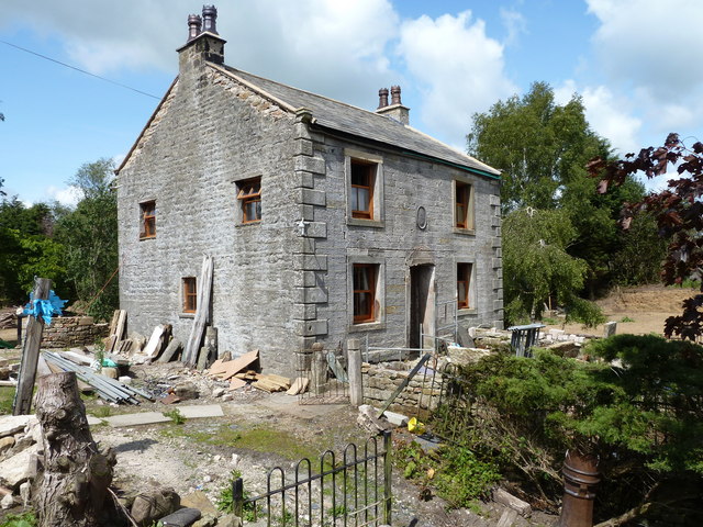
The Ridding
The Ridding is a Victorian country house located in the village of Bentham, North Yorkshire, England. It is recorded in the National Heritage List for...

Bentham Grammar School
Bentham Grammar School was an independent school in Bentham, North Yorkshire, England. The school was founded in 1726 but closed in 2002 due to dwindling...
Wennington, Lancashire
Wennington is a civil parish in the City of Lancaster district in Lancashire, England. The 2001 Census recorded the parish's population as 102, and the...

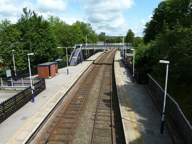
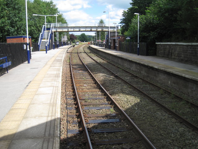
Wennington railway station
Wennington is a railway station on the Bentham Line, which runs between Leeds and Morecambe via Skipton. The station, situated 15+3⁄4 miles (25 km) east...

Low Bentham railway station
Low Bentham railway station served the village of Low Bentham, North Yorkshire, England, from 1850 to 1853 on the "Little" North Western Railway. ��2...

Wennington Hall
Wennington Hall is a former country house in Wennington, a village in the City of Lancaster district in Lancashire, England. The house is a Grade II listed...

Wennington Junction rail crash
Just west of Wennington railway station was Wennington junction where the Furness and Midland Joint Railway left the North Western section of the Midland...

Burton in Lonsdale Castle
Burton in Lonsdale Castle was in the village of Burton in Lonsdale in North Yorkshire, England (grid reference SD649721). The Pipe Rolls for the reign...
Nearby Amenities
Located within 500m of 54.128373,-2.5600778Have you been to Bull Common?
Leave your review of Bull Common below (or comments, questions and feedback).