Aston Gorse
Wood, Forest in Shropshire
England
Aston Gorse

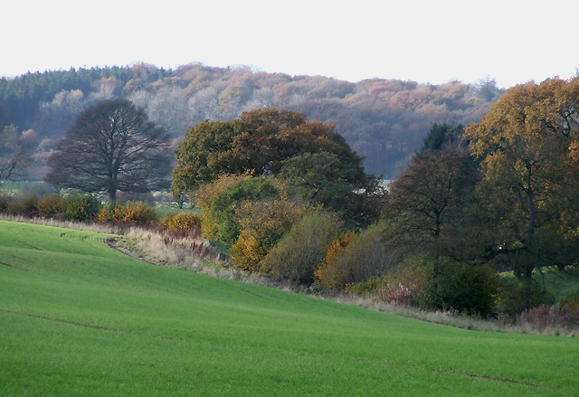
Aston Gorse, located in the county of Shropshire, is a picturesque wooded area known for its enchanting forests and natural beauty. Nestled in the heart of the English countryside, this woodland paradise offers visitors a serene escape from the hustle and bustle of everyday life.
The woodlands of Aston Gorse are rich in biodiversity, featuring a diverse range of tree species such as oak, beech, and birch. The dense canopy creates a cool and shaded environment, providing a sanctuary for a variety of wildlife including deer, foxes, and a plethora of bird species.
Walking trails wind through the forest, allowing visitors to explore the stunning landscape at their own pace. The paths are well-maintained and provide an opportunity to immerse oneself in the peaceful surroundings, listening to the gentle rustle of leaves and the harmonious chorus of birdsong.
Aston Gorse is also home to a number of historical landmarks, adding an extra layer of intrigue to the area. The remnants of an ancient Roman road can be found within the woods, serving as a reminder of the area's rich history and cultural significance.
For those seeking a tranquil retreat, Aston Gorse offers a perfect respite. Whether it be a leisurely stroll, a picnic amidst nature, or simply a moment of solitude, this enchanting woodland destination promises a rejuvenating and memorable experience for all who visit.
If you have any feedback on the listing, please let us know in the comments section below.
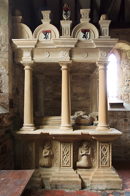
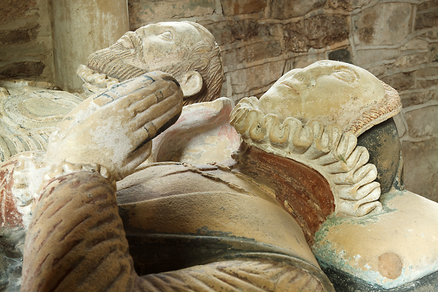
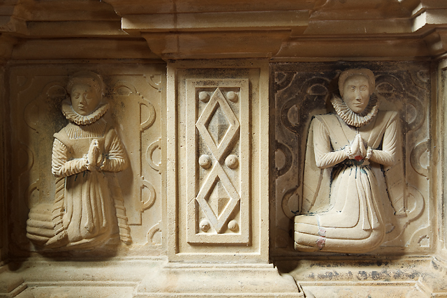
Aston Gorse Images
Images are sourced within 2km of 52.447505/-2.538228 or Grid Reference SO6383. Thanks to Geograph Open Source API. All images are credited.


Aston Gorse is located at Grid Ref: SO6383 (Lat: 52.447505, Lng: -2.538228)
Unitary Authority: Shropshire
Police Authority: West Mercia
What 3 Words
///centuries.bandstand.sweeping. Near Cleobury Mortimer, Shropshire
Nearby Locations
Related Wikis

Aston Botterell
Aston Botterell is a village and small civil parish in the county of Shropshire, West Midlands, England. The village lies 8 miles (13 km) south-west of...

Aston Botterell Siding railway station
Aston Botterell Siding railway station was a station in Aston Botterell, Shropshire, England. The station was opened in 1908 and closed in 1938. ��2�...

Wheathill, Shropshire
Wheathill is a village and civil parish 21 miles (34 km) south east of Shrewsbury, in the Shropshire district, in the ceremonial county of Shropshire,...
Loughton, Shropshire
Loughton is a village and former civil parish, now in the parish of Wheathill, in Shropshire, England. In 1961 the parish had a population of 48.It is...

Burwarton
Burwarton is a small village and civil parish in Shropshire, England. Local governance is provided through the 'grouped' Parish Council for Aston Botterill...

Burwarton Halt railway station
Burwarton Halt railway station was a station in Burwarton, Shropshire, England. The station was opened in 1908 and closed in 1938. == References == �...
Stottesdon Halt railway station
Stottesdon Halt railway station was a station in Stottesdon, Shropshire, England. The station was opened in 1908 and closed in 1938. == References... ==

Farlow, Shropshire
Farlow is a small village and civil parish in Shropshire, England. The population at the 2011 census was 445.The chapelry of Farlow was an exclave of Herefordshire...
Have you been to Aston Gorse?
Leave your review of Aston Gorse below (or comments, questions and feedback).