Seg Plantation

Wood, Forest in Yorkshire Craven

England

Seg Plantation

Old tollhouse The Toll Board on the tollhouse on the B6480 at Low Bentham.  This had been a private road that was opened to the public on 3rd May 1932. Even wheelbarrows were charged 2d!
Old tollhouse Credit: Chris Minto

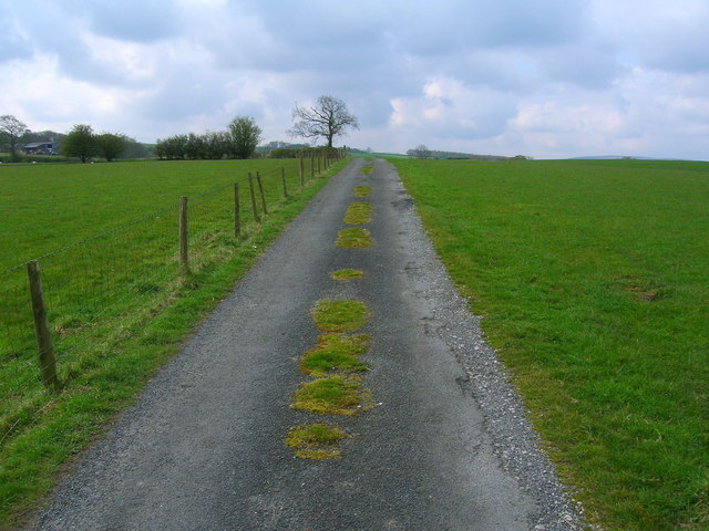
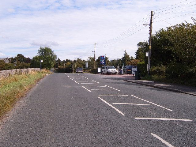
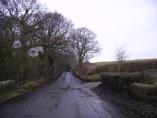
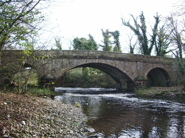
Seg Plantation is a picturesque woodland located in Yorkshire, England. Situated in the heart of the county, it covers a vast area of approximately 500 acres. The plantation is known for its dense forests and abundance of tall, mature trees, making it an ideal destination for nature enthusiasts and hikers.

The woodland primarily consists of oak and beech trees, which create a dense canopy overhead, allowing only sporadic rays of sunlight to filter through. This creates a unique and enchanting atmosphere, with the ground covered in a thick carpet of fallen leaves and moss. The plantation is also home to a variety of wildlife, including deer, squirrels, and numerous bird species, making it a haven for wildlife enthusiasts and birdwatchers.

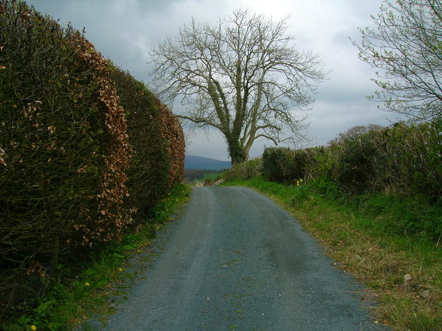
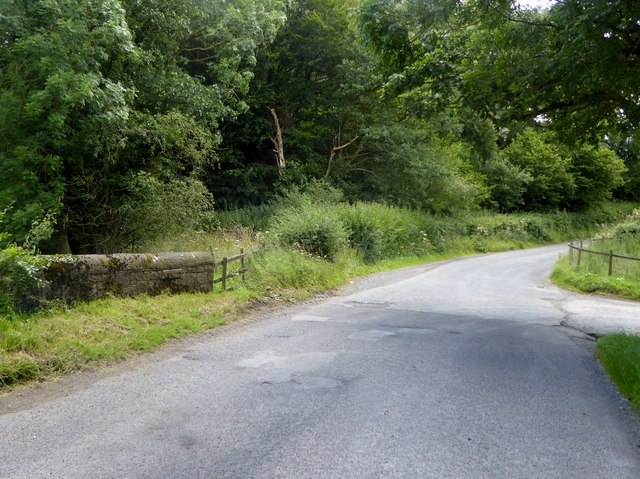
Seg Plantation offers a network of well-maintained trails that wind their way through the woodland, providing visitors with the opportunity to explore and discover its hidden gems. The trails range in difficulty, catering to both casual strollers and experienced hikers. Along the way, visitors can enjoy the serene beauty of the plantation, with occasional clearing offering panoramic views of the surrounding countryside.

The plantation is easily accessible, with a nearby parking area and clearly marked entrance points. There are also picnic areas and benches scattered throughout the woodland, providing visitors with the perfect opportunity to relax and enjoy a picnic surrounded by the natural beauty of their surroundings.

Overall, Seg Plantation in Yorkshire offers a peaceful retreat from the hustle and bustle of everyday life, immersing visitors in a tranquil and idyllic woodland setting.

If you have any feedback on the listing, please let us know in the comments section below.

Seg Plantation Images

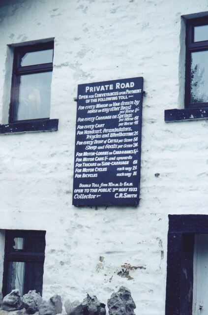
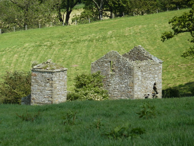
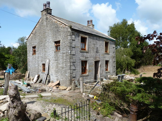
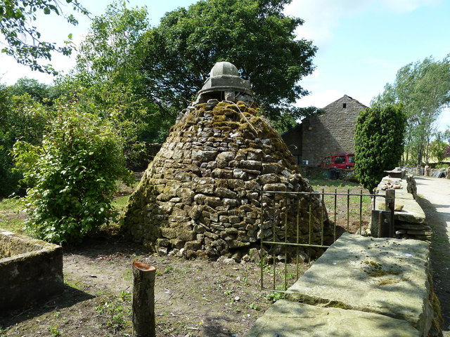
Images are sourced within 2km of 54.126842/-2.5547933 or Grid Reference SD6370. Thanks to Geograph Open Source API. All images are credited.

Old tollhouse The Toll Board on the tollhouse on the B6480 at Low Bentham.  This had been a private road that was opened to the public on 3rd May 1932. Even wheelbarrows were charged 2d!
Old tollhouse
The Toll Board on the tollhouse on the B6480 at Low Bentham. This had been a private road that was opened to the public on 3rd May 1932. Even wheelbarrows were charged 2d!
Clintsfield Colliery, Ruin Former Engine and Boiler Houses of Clintsfield Colliery, worked until 1856, later converted into a house but now derelict. It is a 'listed building' and under the administration of English Heritage.
Clintsfield Colliery, Ruin
Former Engine and Boiler Houses of Clintsfield Colliery, worked until 1856, later converted into a house but now derelict. It is a 'listed building' and under the administration of English Heritage.
The Blands, House Gutted by fire in February 2009 and now in process of rebuilding, this house was once the home of 'Perpetual' Arthur Burrow. The multi talented and colourful Mr Burrow (1759 - 1827) earned his 'Perpetual' name from his unending quest to develop a machine capable of perpetual motion. He went as far as diverting a stream under his house and engineering a constantly moving grindstone outside the house. A blacksmith by trade he also surreptitiously mined coal from his own mine entered by a trapdoor within the house. He fathered many children and claimed to have been taught to read by an angel, after which he could quote the bible to the letter. When he died, it is said he was buried in a glass fronted coffin as he was sure he would cheat death return from the grave.His grave is in the churchyard of St James the Less, Tatham (SD6069).The mine and attached catacombs are unsafe to visit but the house and gardens are worth a look.
The Blands, House
Gutted by fire in February 2009 and now in process of rebuilding, this house was once the home of 'Perpetual' Arthur Burrow. The multi talented and colourful Mr Burrow (1759 - 1827) earned his 'Perpetual' name from his unending quest to develop a machine capable of perpetual motion. He went as far as diverting a stream under his house and engineering a constantly moving grindstone outside the house. A blacksmith by trade he also surreptitiously mined coal from his own mine entered by a trapdoor within the house. He fathered many children and claimed to have been taught to read by an angel, after which he could quote the bible to the letter. When he died, it is said he was buried in a glass fronted coffin as he was sure he would cheat death return from the grave.His grave is in the churchyard of St James the Less, Tatham (SD6069).The mine and attached catacombs are unsafe to visit but the house and gardens are worth a look.
Folly, The Blands In the garden of 'Blands' and said to have been built by 'Perpetual' Arthur Burrow for use as a storehouse. Also known locally, I think, as the Goose House.
Folly, The Blands
In the garden of 'Blands' and said to have been built by 'Perpetual' Arthur Burrow for use as a storehouse. Also known locally, I think, as the Goose House.
Sun Dial Inn, Low Bentham
Lancaster to Leeds railway at Low Bentham
Barn at Greenfold
Barn at Greenfold
Access track to Higher Perries
Farm track to Kirkbeck
Sun Dial Inn, Low Bentham Village pub still surviving.
Sun Dial Inn, Low Bentham
Village pub still surviving.
Cottages in Low Bentham Terrace of small cottages close to the centre of the village.
Cottages in Low Bentham
Terrace of small cottages close to the centre of the village.
Stone cross, Low Bentham Erected by the villagers in 1902 in celebration of the coronation of Edward VII.
Stone cross, Low Bentham
Erected by the villagers in 1902 in celebration of the coronation of Edward VII.
St. John the Baptist, Low Bentham Church of England parish church in the Diocese of Bradford. The tower is c1340, but the rest of the building dates from 1876.
St. John the Baptist, Low Bentham
Church of England parish church in the Diocese of Bradford. The tower is c1340, but the rest of the building dates from 1876.
Toll Bar House Near Low Bentham. The toll bar across the then private road would be lifted upon payment of a toll, ranging from 1/- (one shilling, or 5 pence) for "every wagon or van drawn by horse or any other beast" to 1d (0.25 new penny) each way for a bicycle. The house is now a nursery.
Toll Bar House
Near Low Bentham. The toll bar across the then private road would be lifted upon payment of a toll, ranging from 1/- (one shilling, or 5 pence) for "every wagon or van drawn by horse or any other beast" to 1d (0.25 new penny) each way for a bicycle. The house is now a nursery.
B6480, Low Bentham Main Street, with pre-Worboys road sign.
B6480, Low Bentham
Main Street, with pre-Worboys road sign.
Road at Eskew Bridge The brook under the bridge is the boundary between the parishes of Tatham and Bentham.
Road at Eskew Bridge
The brook under the bridge is the boundary between the parishes of Tatham and Bentham.
B6480 Low to High Bentham Road.
B6480
Low to High Bentham Road.
Eskew Bridge Near Low Bentham
Eskew Bridge
Near Low Bentham
Show me another place!

Seg Plantation is located at Grid Ref: SD6370 (Lat: 54.126842, Lng: -2.5547933)

Division: West Riding

Administrative County: North Yorkshire

District: Craven

Police Authority: North Yorkshire

What 3 Words

///thudded.culling.dices. Near High Bentham, North Yorkshire

Related Wikis

The Ridding

The Ridding is a Victorian country house located in the village of Bentham, North Yorkshire, England. It is recorded in the National Heritage List for...

Bentham Grammar School

Bentham Grammar School was an independent school in Bentham, North Yorkshire, England. The school was founded in 1726 but closed in 2002 due to dwindling...

Low Bentham railway station

Low Bentham railway station served the village of Low Bentham, North Yorkshire, England, from 1850 to 1853 on the "Little" North Western Railway. ��2...

Wennington, Lancashire

Wennington is a civil parish in the City of Lancaster district in Lancashire, England. The 2001 Census recorded the parish's population as 102, and the...

Burton in Lonsdale Castle

Burton in Lonsdale Castle was in the village of Burton in Lonsdale in North Yorkshire, England (grid reference SD649721). The Pipe Rolls for the reign...

Wennington railway station

Wennington is a railway station on the Bentham Line, which runs between Leeds and Morecambe via Skipton. The station, situated 15+3⁄4 miles (25 km) east...

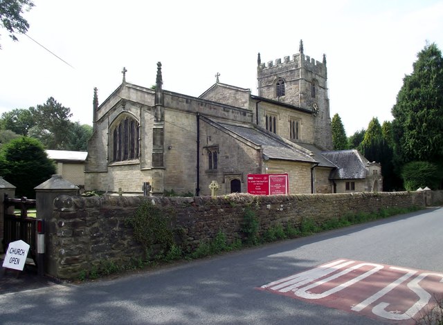
All Saints Church, Burton in Lonsdale

All Saints Church is in the village of Burton in Lonsdale, North Yorkshire, England. It is an active Anglican parish church in the deanery of Ewecross...

Wennington Junction rail crash

Just west of Wennington railway station was Wennington junction where the Furness and Midland Joint Railway left the North Western section of the Midland...

Nearby Amenities

Located within 500m of 54.126842,-2.5547933
Power: pole
Lat/Long: 54.1255843/-2.5586366
Power: pole
Lat/Long: 54.1250039/-2.5581791
Power: pole
Lat/Long: 54.1245023/-2.5578324
Power: pole
Lat/Long: 54.1236759/-2.5574787
Power: pole
Lat/Long: 54.1228785/-2.5571816
Power: pole
Lat/Long: 54.1298624/-2.5500648
Power: pole
Lat/Long: 54.1298596/-2.5512557
The data included in this document is from www.openstreetmap.org. The data is made available under ODbL.

Have you been to Seg Plantation?

Leave your review of Seg Plantation below (or comments, questions and feedback).