Howes Plantation
Wood, Forest in Westmorland Eden
England
Howes Plantation
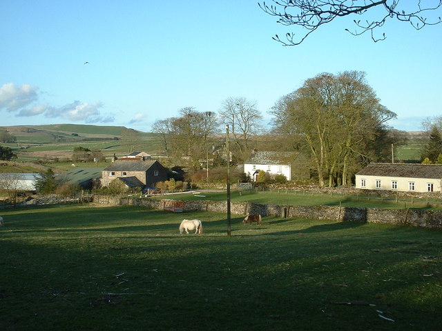
Howes Plantation, located in Westmorland, is a vast expanse of wood and forest that spans over a significant area. The plantation is known for its rich biodiversity and serves as a habitat for numerous plant and animal species. The dense forest cover consists of a variety of tree species, including oak, maple, pine, and beech, creating a picturesque landscape.
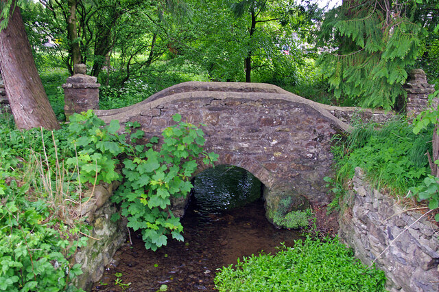
The terrain of Howes Plantation is predominantly hilly, with undulating slopes and valleys. Scenic hiking trails wind through the woods, offering visitors the opportunity to explore the natural beauty of the area. The plantation is also home to several small streams and creeks, which further enhance the overall charm of the surroundings.
The diverse ecosystem of Howes Plantation supports a wide range of wildlife. Among the animals that inhabit the area are deer, foxes, squirrels, and a multitude of bird species. It is not uncommon to spot colorful woodpeckers, owls, and songbirds throughout the forest.
The plantation is managed and maintained by a team of dedicated conservationists who strive to preserve the natural integrity of the area. Their efforts include monitoring the wildlife population, preventing illegal logging, and implementing sustainable practices to ensure the long-term health of the forest ecosystem.
Howes Plantation is not only a haven for nature enthusiasts but also serves as an educational resource. Visitors can participate in guided tours and learn about the importance of forest conservation and the various species that thrive within the plantation. Overall, Howes Plantation in Westmorland stands as a testament to the beauty and value of preserving natural habitats.
If you have any feedback on the listing, please let us know in the comments section below.
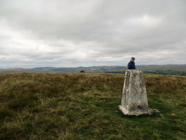
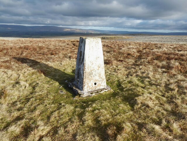
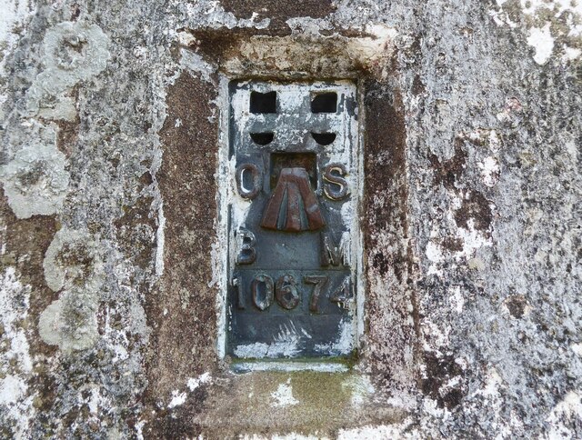
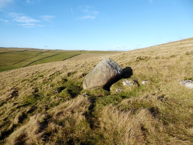
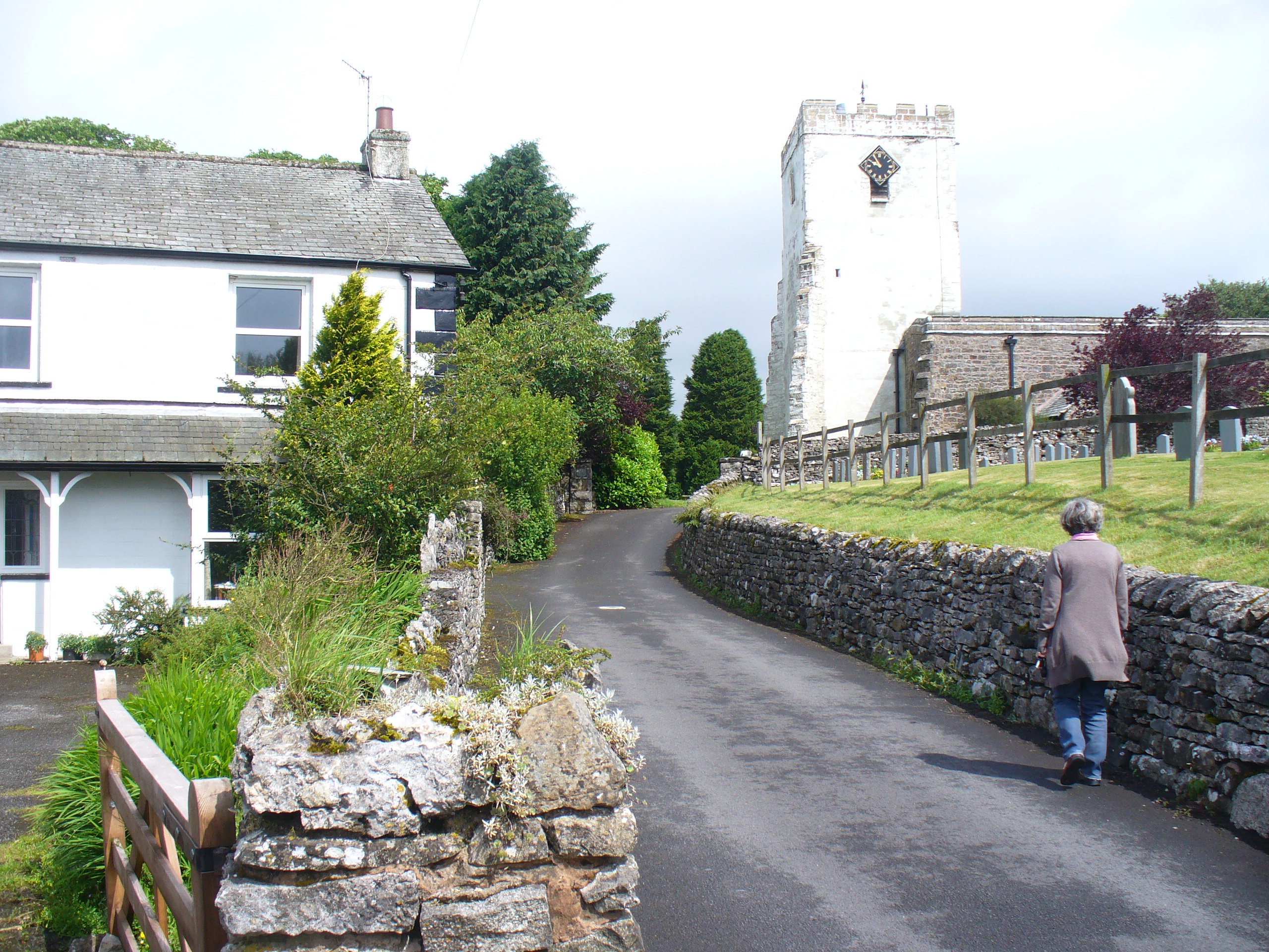
Howes Plantation Images
Images are sourced within 2km of 54.465105/-2.5594076 or Grid Reference NY6307. Thanks to Geograph Open Source API. All images are credited.


Howes Plantation is located at Grid Ref: NY6307 (Lat: 54.465105, Lng: -2.5594076)
Administrative County: Cumbria
District: Eden
Police Authority: Cumbria
What 3 Words
///widely.trespass.argued. Near Shap, Cumbria
Nearby Locations
Related Wikis
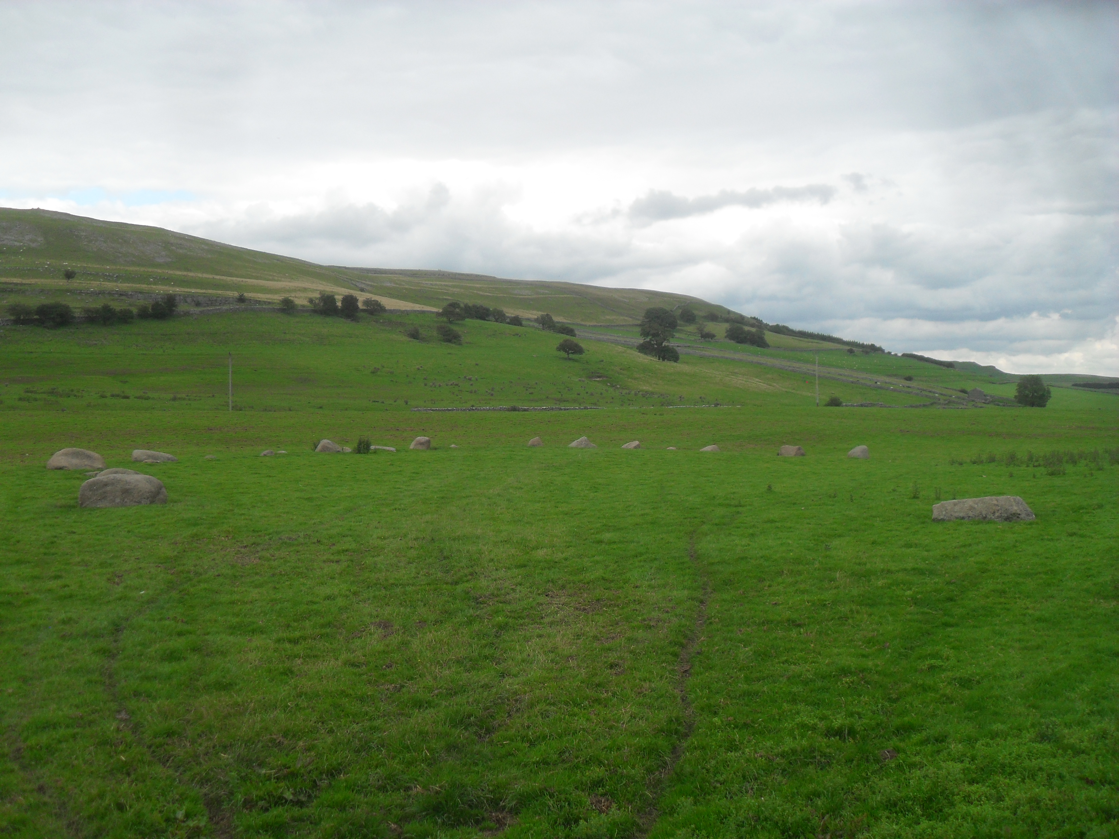
Gamelands stone circle
Gamelands stone circle (or Orton stone circle) is a stone circle at the foot of Knott Hill in Cumbria, England. The stones are mostly made of red granite...
Raisbeck
Raisbeck is a hamlet in the civil parish of Orton, in the Westmorland and Furness district of Cumbria, England. The surname Raisbeck originates from the...
Orton, Westmorland and Furness
Orton is a village and civil parish in Cumbria, England. It lies 15 miles (24 km) south of Penrith, 8 miles (13 km) from Appleby-in-Westmorland and 1.5...
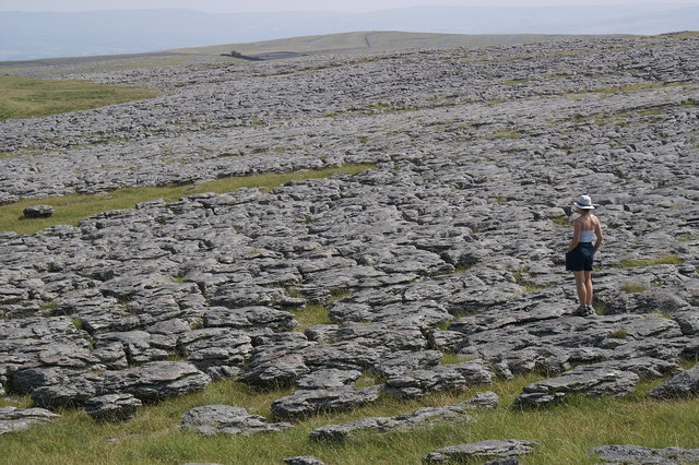
Great Asby Scar
Great Asby Scar is a Site of Special Scientific Interest (SSSI) and National Nature Reserve in Cumbria, UK. It is an area of limestone pavement, south...
Related Videos
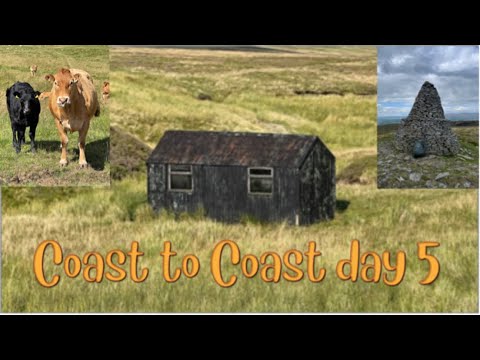
10 days backpacking Wainwrights coast to coast walk
Orton to Ney gill shooting hut, climbing nine standards and crossing the bogs of doom!

Walking Wicker street roman road #RomanRoad
A short spring walk along the line of the roman road which ran from Lancaster to Kirkby Thore in the Eden valley, this short stretch ...

Walking Wicker Street Roman Road
Tracing the Roman road over Crosby Ravensworth fell.

4 SIMPLE Steps to FINDING Landscape Photography COMPOSITIONS
In this video I discuss my approach for finding compositions for landscape photography. Sometimes it can be difficult to find ...
Nearby Amenities
Located within 500m of 54.465105,-2.5594076Have you been to Howes Plantation?
Leave your review of Howes Plantation below (or comments, questions and feedback).